
Upper Norton, Shropshire, England
Beautiful Shropshire walking country, right on your doorstep
Book a tour Open Gallery-
36 cottages and apartments in Shropshire
-
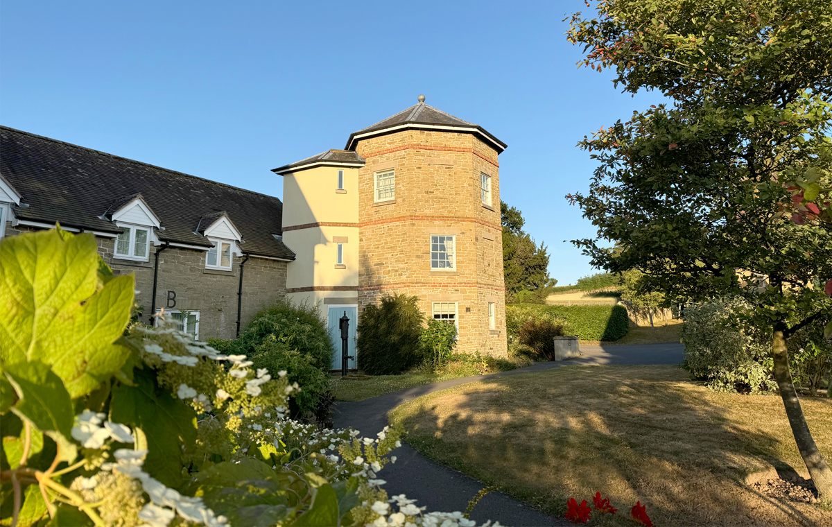
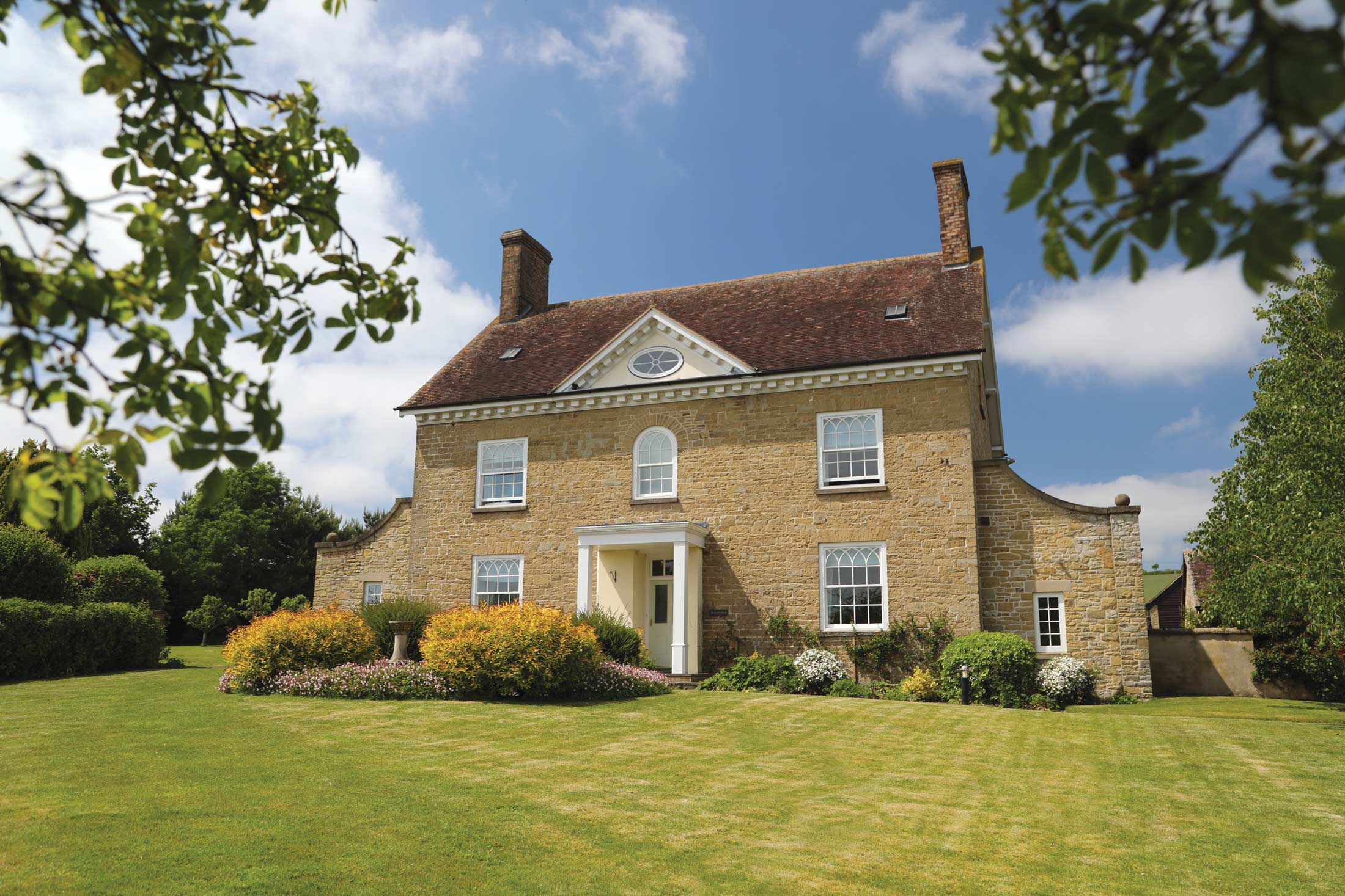
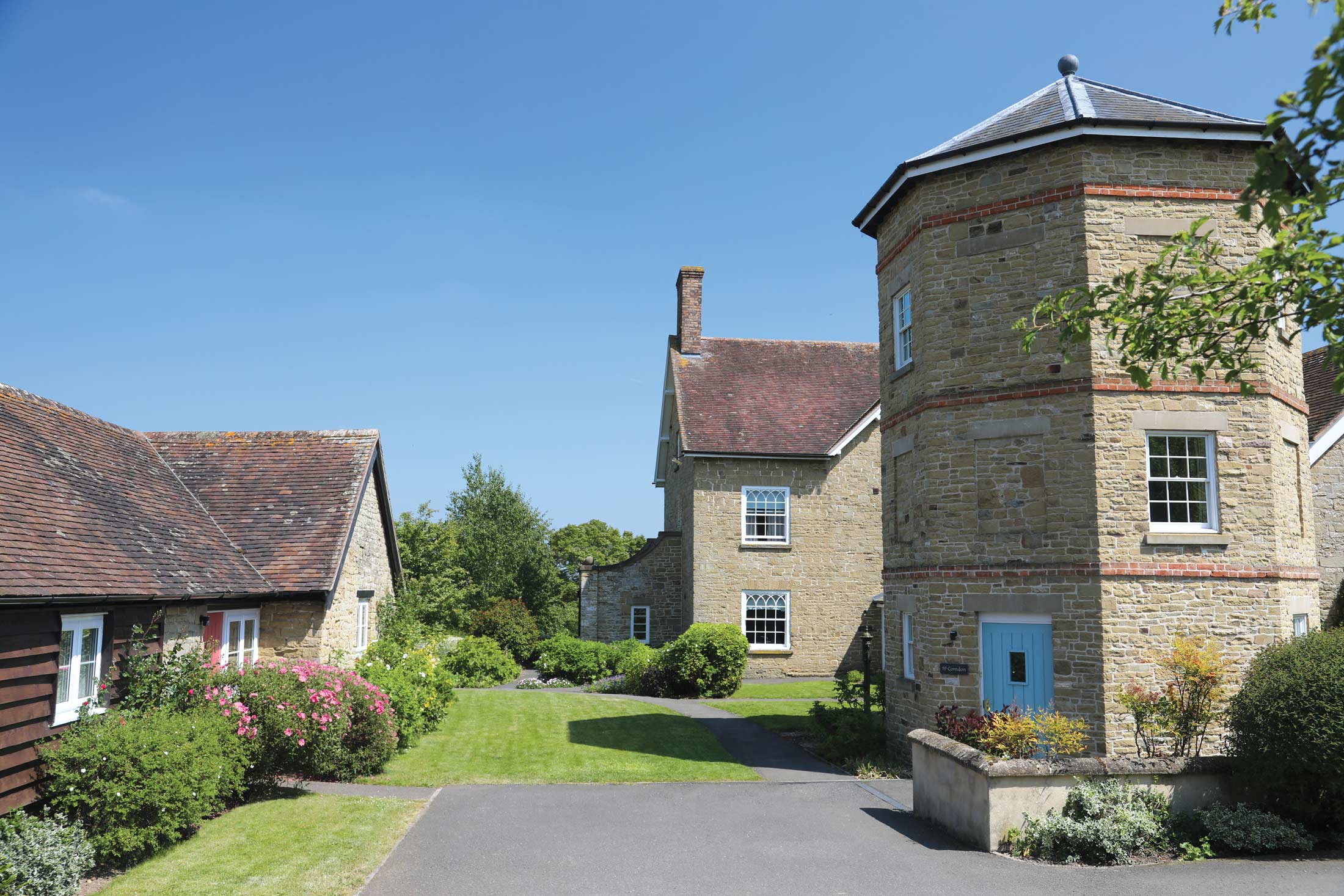
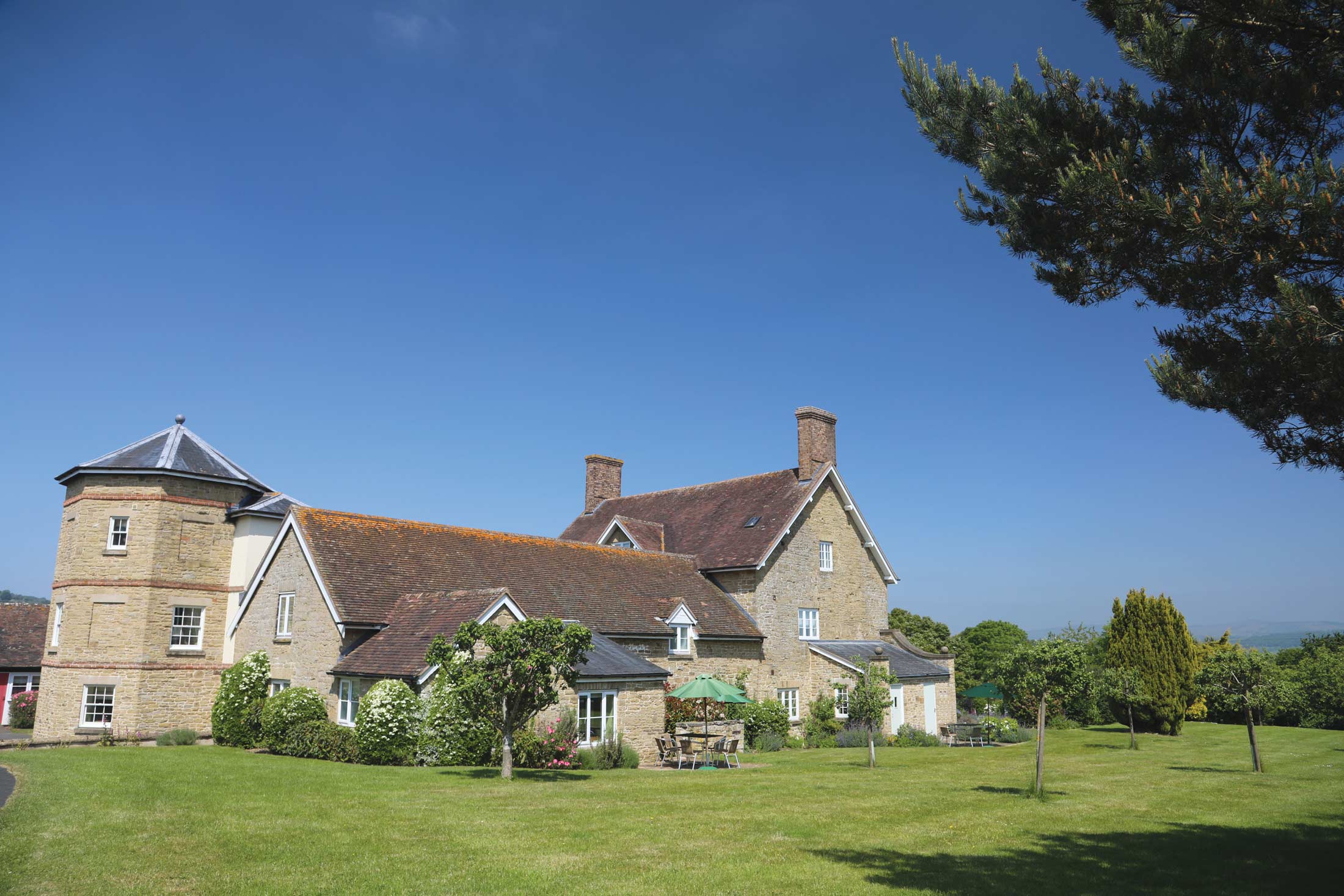
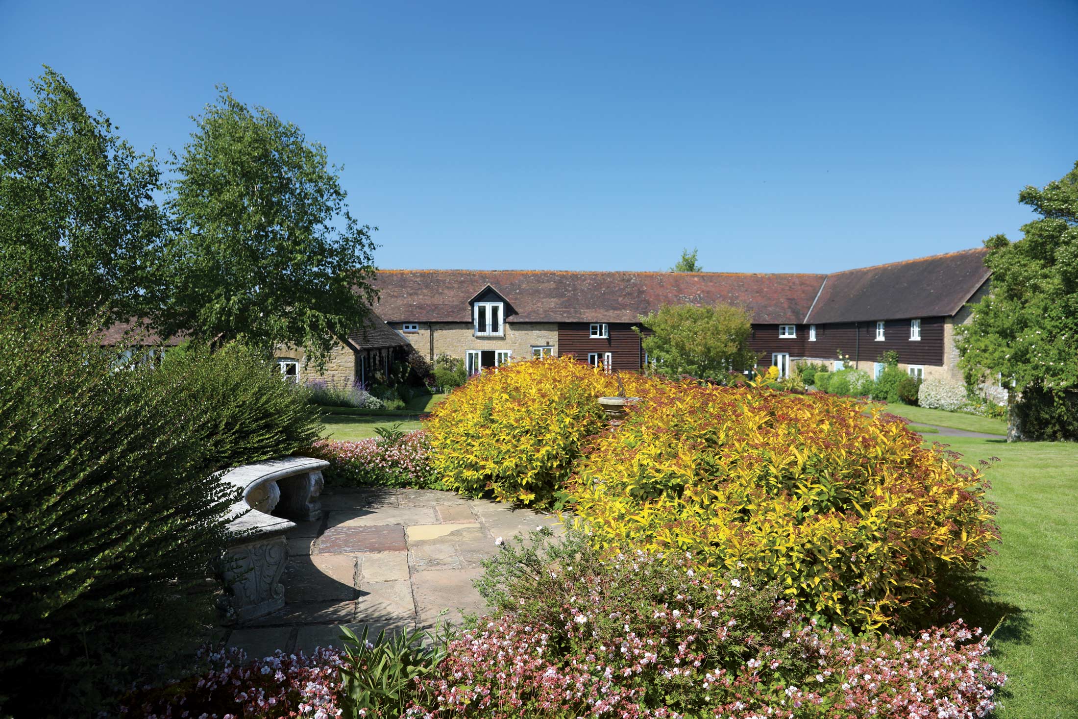
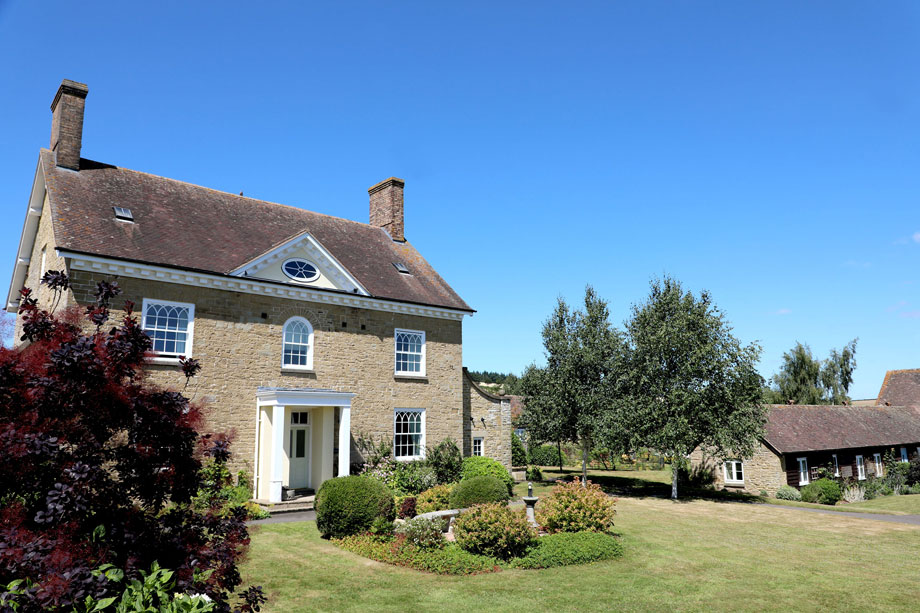
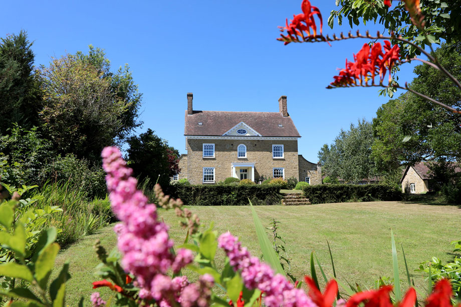
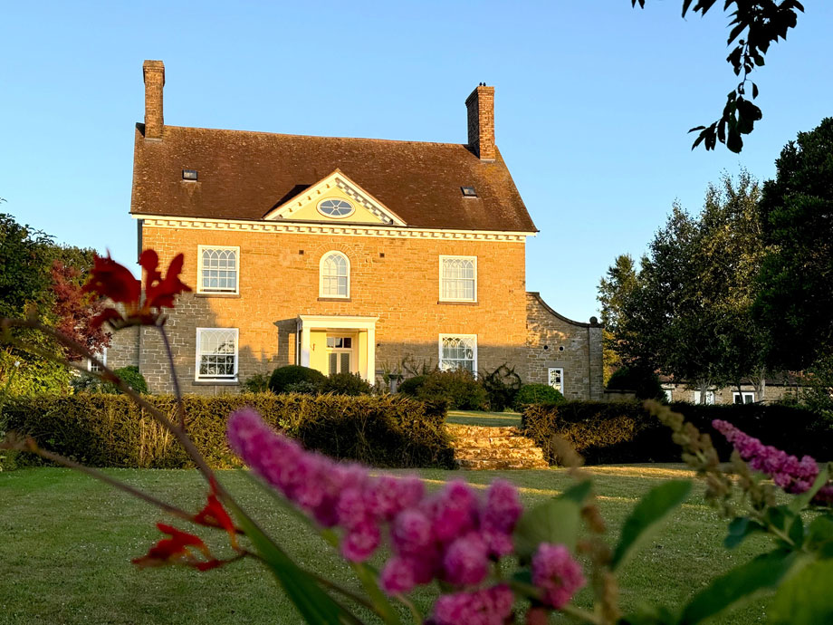
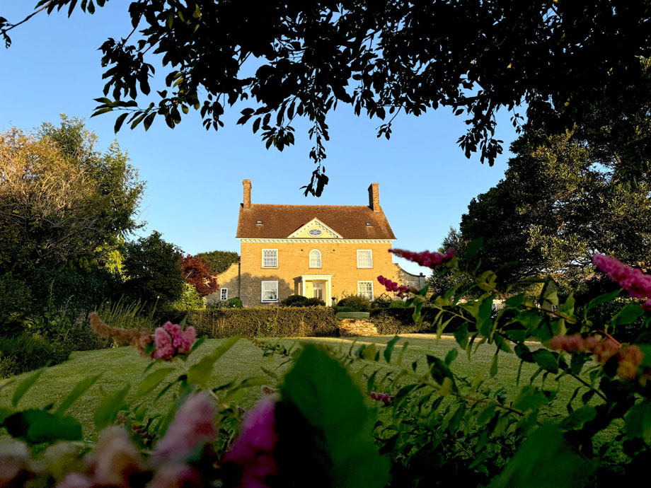
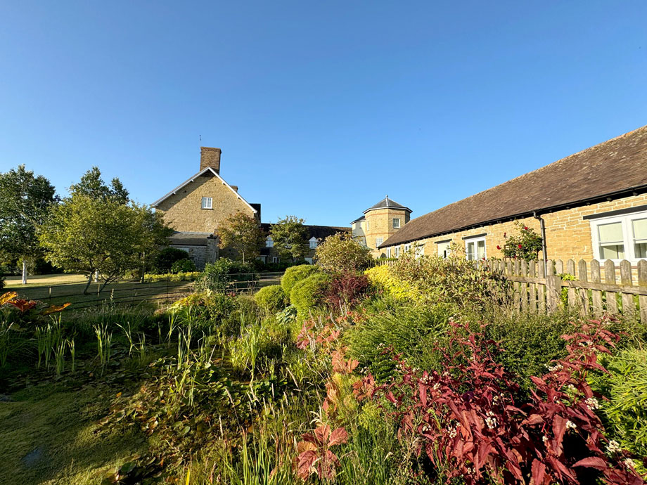
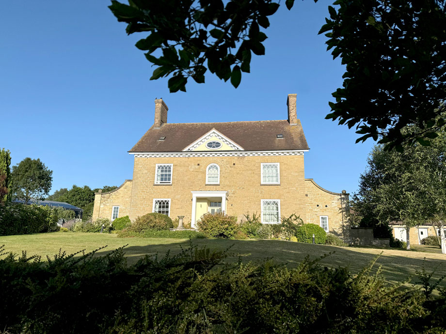
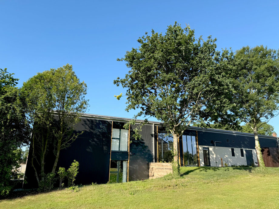
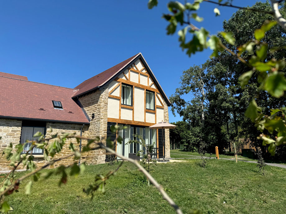
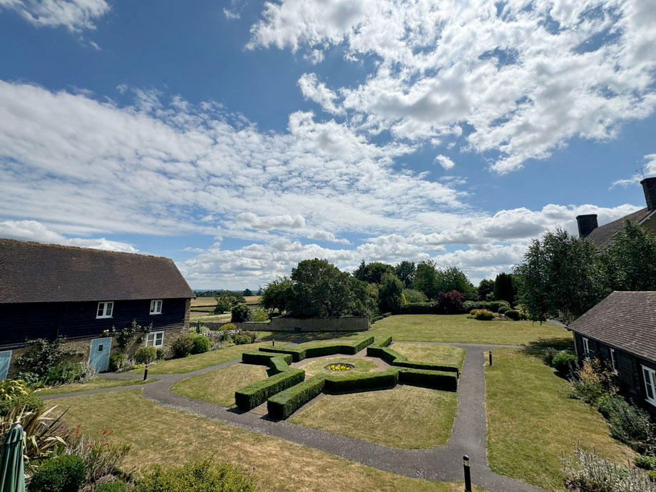
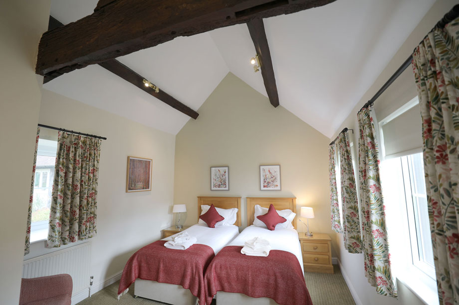
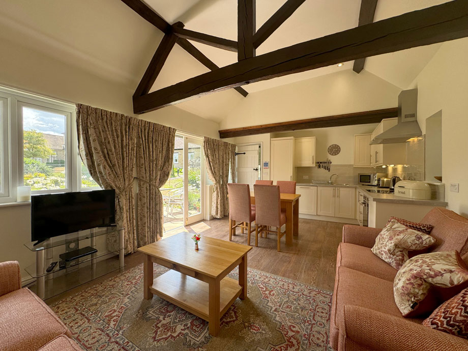
Converted from a traditional Shropshire farmhouse and outbuildings
-
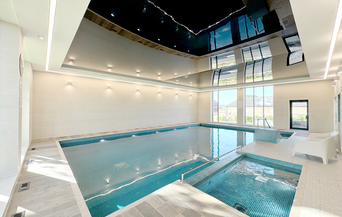
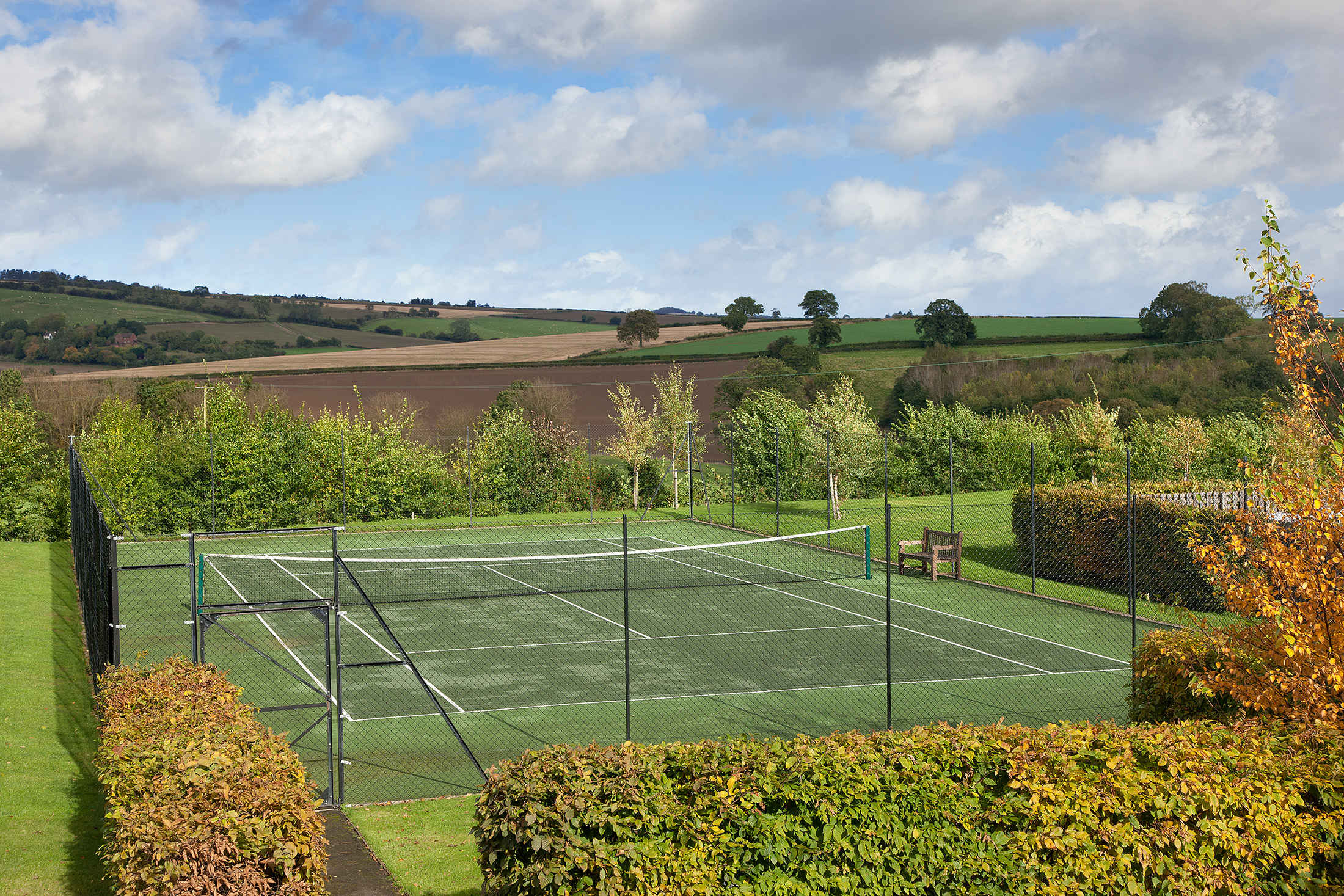
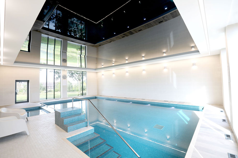
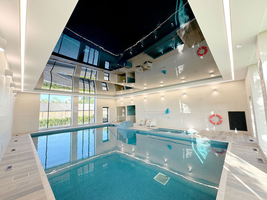
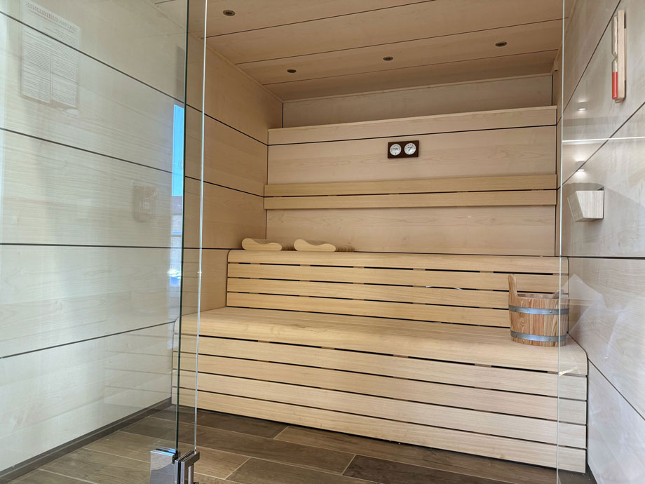
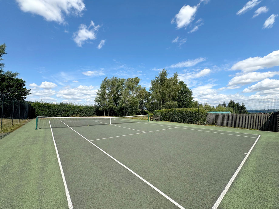
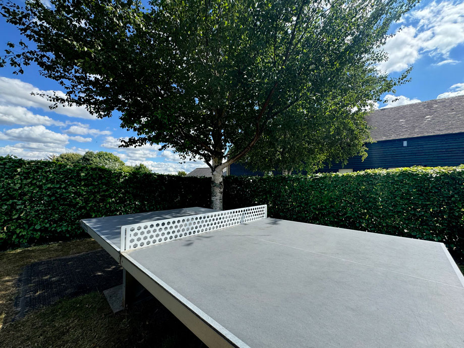
Great facilities, including tennis court and snooker table
-
Close to the vibrant and thriving gastronomic town of Ludlow
-
Amazing choice of restaurants, events and festivals nearby
-
Beautiful Shropshire walking country, right on your doorstep
-
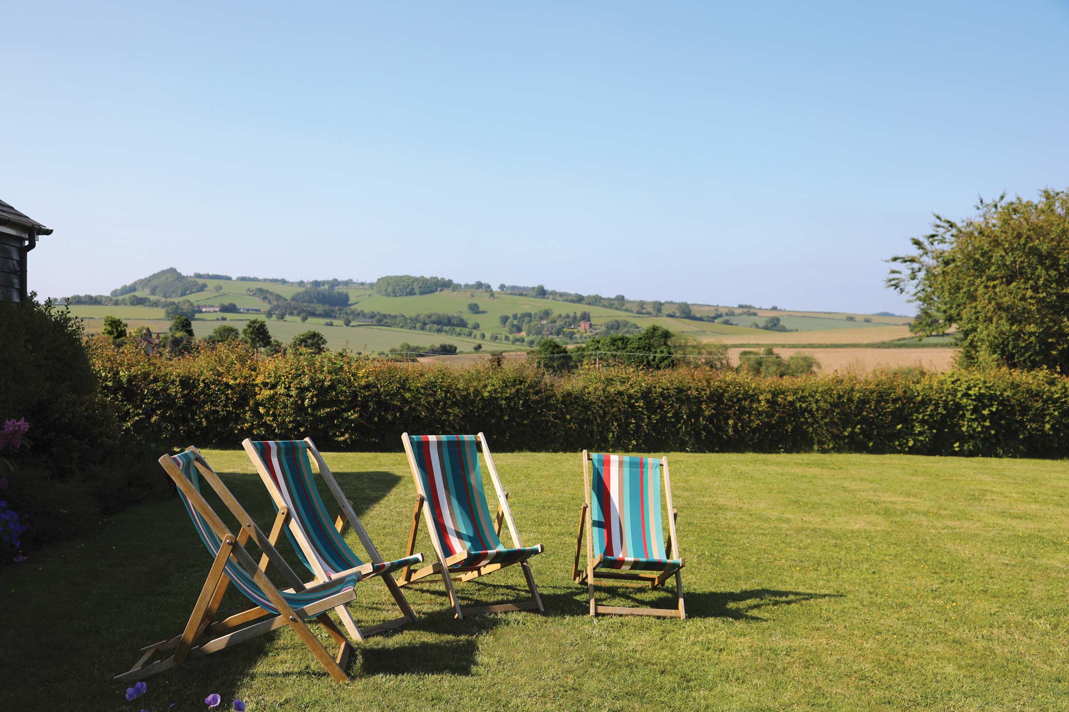
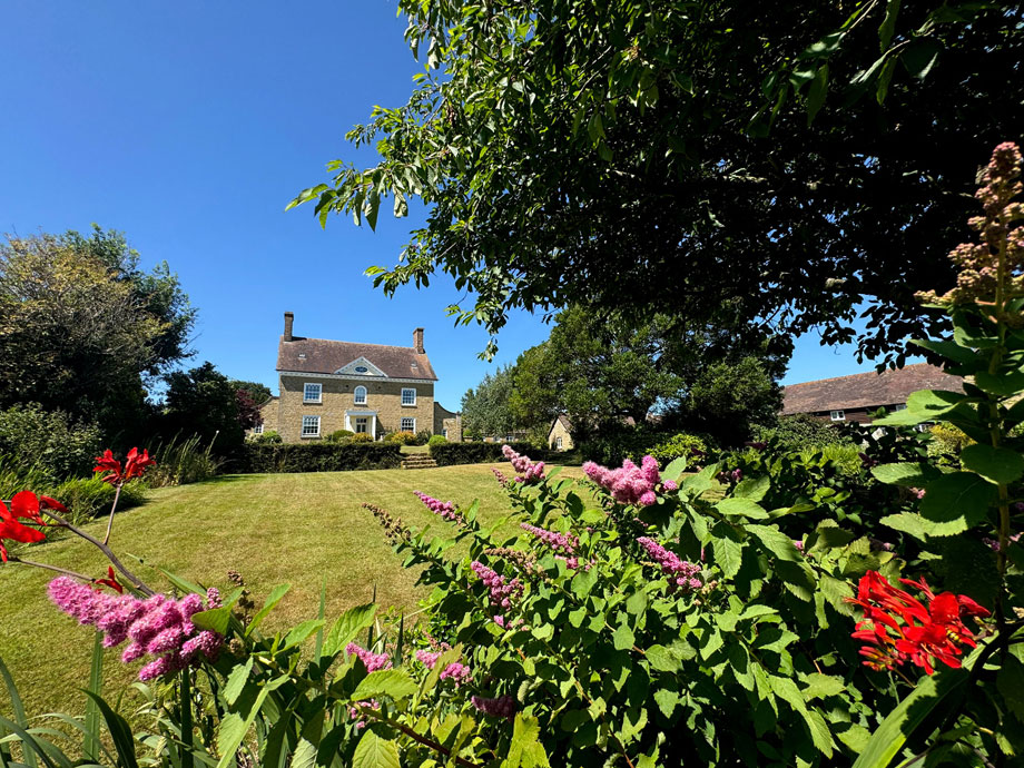
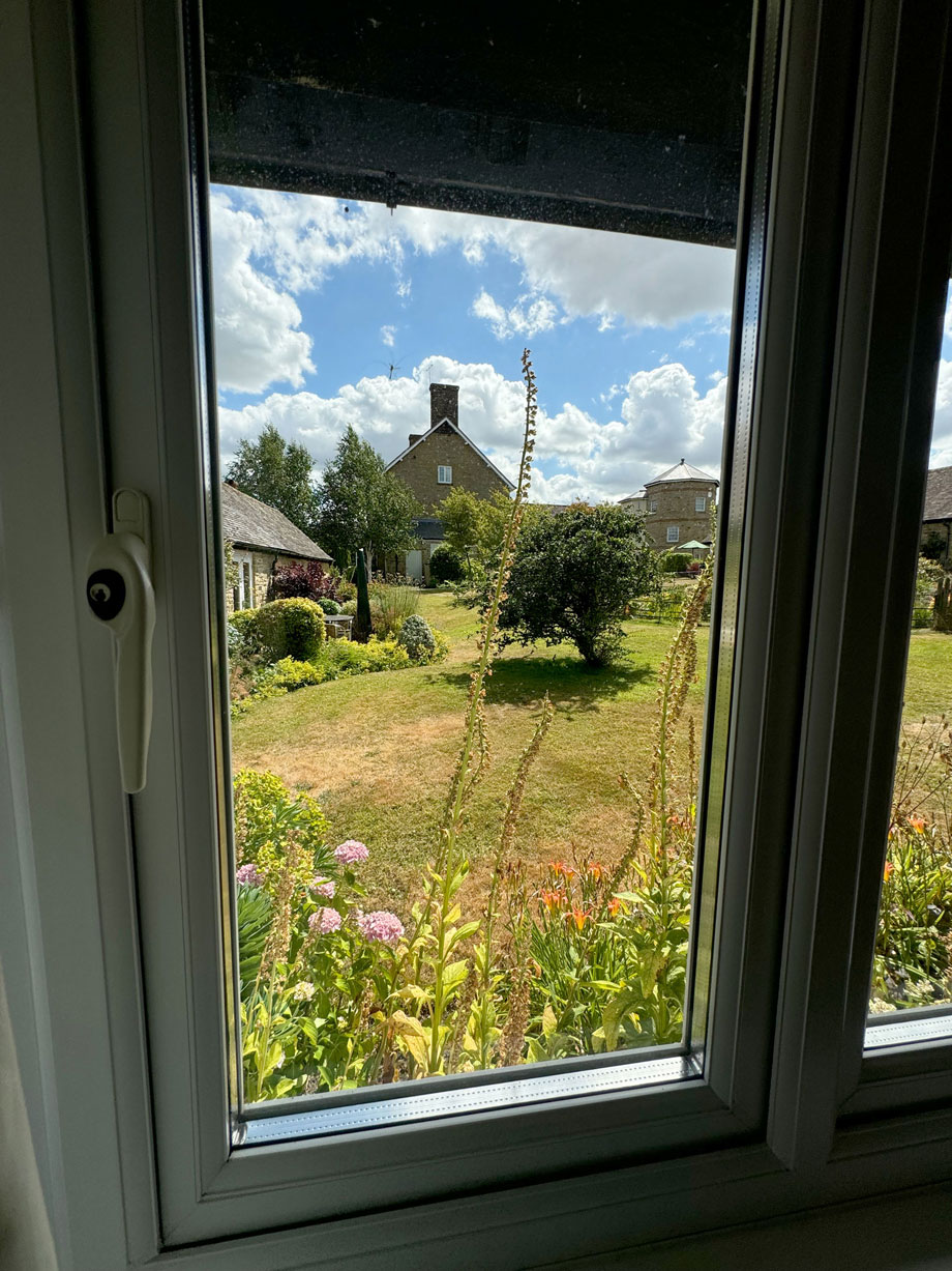
Stunning views of the Shropshire Hills AONB and a peaceful rural retreat for nature lovers
Discover Shropshire
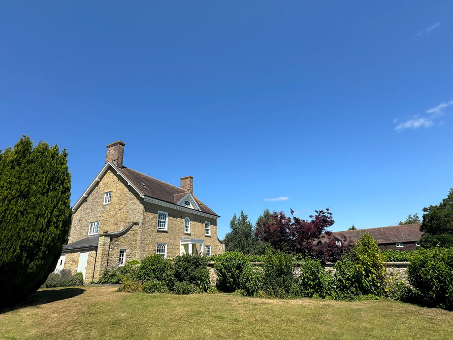
Nestling in an Area of Outstanding Natural Beauty on the edge of the Shropshire Hills, the mid-19th Century farmhouse of Upper Norton offers southerly views over glorious farmland towards the Clee Hills and Corvedale, and provides an ideal base from which to explore the uplands, valleys and forests of the Marches. Here, original farm buildings have been skillfully converted into comfortable, peaceful holiday homes.
Nearby Ludlow – described by John Betjeman as “the loveliest town in England” – is widely regarded as the UK’s ‘food capital’ and, despite its diminutive size, has had more Michelin-starred restaurants than any other town in the country. Other local attractions include the fine medieval market town of Shrewsbury; Bridgnorth, home of the Severn Valley Railway; and Much Wenlock, inspiration for the modern Olympic movement.
Discover more about Shropshire’s local history
If you’d like to discover more about your temporary home, visit Ironbridge Gorge with its ten family-friendly museums. Between them, you’ll learn about the area’s fascinating history, from the industrial revolution, right up until the 21st Century.
Get involved in local events
There’s always something happening in Shropshire, so during your visit, check to see what’s on. Unmissable events include V Festival, Shrewsbury Folk Festival, Ludlow Food Festival, Shrewsbury International Street Theatre and Shrewsbury Flower Show.
Play a round of golf (or two)
Keen golfers will be pleased to know that Shropshire has a wide range of golf courses, including three championship-standard venues, plus several 18-hole parkland and hillside courses, and nine-hole courses.
Not a fan of golf? Why not go shopping instead? The Parade in Shrewsbury has more than 30 independent shops.
Enjoy a day on the water
There are 46 miles of canals in the county, and we highly recommend heading north and hiring a narrow boat for the day. It’s a wonderful and relaxing way to see the Shropshire countryside.
There are lots of different routes you can take – you could travel down the Shropshire Union Canal and go through Tyrley Locks to Market Drayton, or cruise the Llangollen Canal and visit Whitchurch and Ellesmere, or discover a route of your own!
Explore Shropshire on foot
Many guests at Upper Norton adore the access the property provides to the many walking routes available in Shropshire. In fact, there are more than 3,500 miles of public rights of way in the county, and there are routes to suit walkers of all abilities.
You could take routes once walked by famous writers, or come across lonely castles and hill forts. To keep the kids entertained, give Geocaching a try; it’s a modern-day treasure hunt of sorts, which will have you go looking for hidden caches all over the world. There’s bound to be a fair few treasures to find on these walks!
Shops and restaurants
Described by John Betjeman as “the loveliest town in England” – and by Country Life as “the most vibrant small town in the country” – nearby Ludlow is regarded as the UK’s ‘food capital’ and, despite its diminutive size, has a high volume of top quality restaurants which is unusual for a small town.
Craven Arms also has a number of attractions in its own right. In particular the Shropshire Hills Discovery Centre; The Land of Lost Content Nostalgia Museum; Acton Scott Historic Working Farm Museum (where the TV series ‘The Victorian Farm’ was filmed); Mickey Miller’s Play Barn and Stokesay Castle.
Markets
Shropshire Hills Farmers’ Markets
- Craven Arms – first Saturday of the month, Discovery Centre 9am-2pm
- Church Stretton – Thursday, Market Square 9am-1pm
- Ludlow – second and fourth Thursday of the month, Castle Square, 9am-2pm
- Much Wenlock – first and third Friday of the month, Guild Hall 9am-1pm
- Bishop’s Castle – third Saturday of the month, in and around the town hall, 9am-2pm
- Knighton – second and fourth Saturday of the month, Community Centre, 9.30am-1.30pm
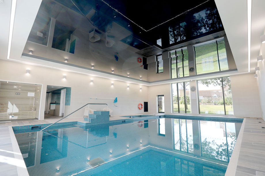
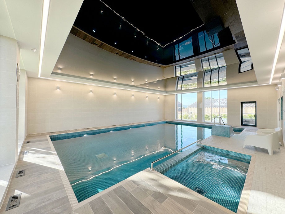
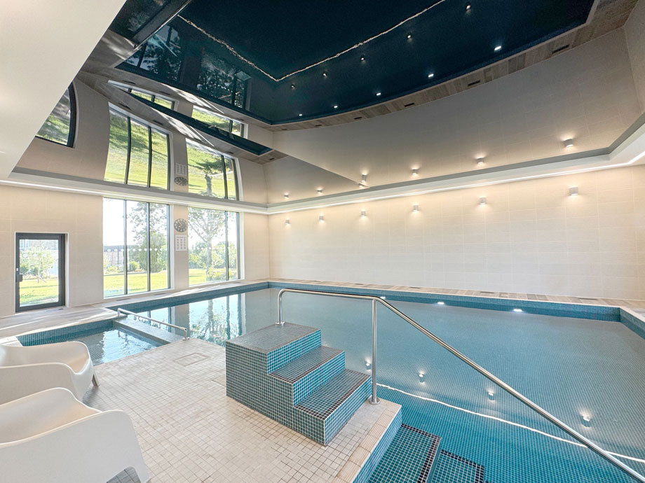
On-site facilities
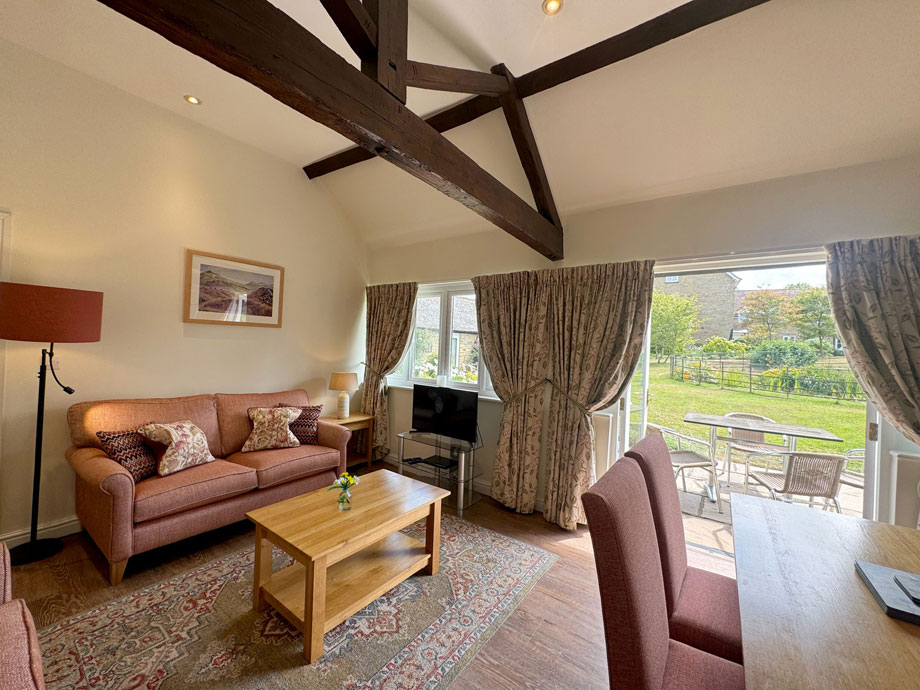
Upper Norton is intended principally to provide a peaceful ‘rural retreat’ for walkers, nature lovers, and anyone seeking simply to ‘recharge the batteries’ in idyllic, tranquil surroundings.
The combined clubroom/information room includes a billiards and separate games room, book and DVD library. And the on-site laundry provides free-to-use washing machines and tumble-driers. Internet access is available.
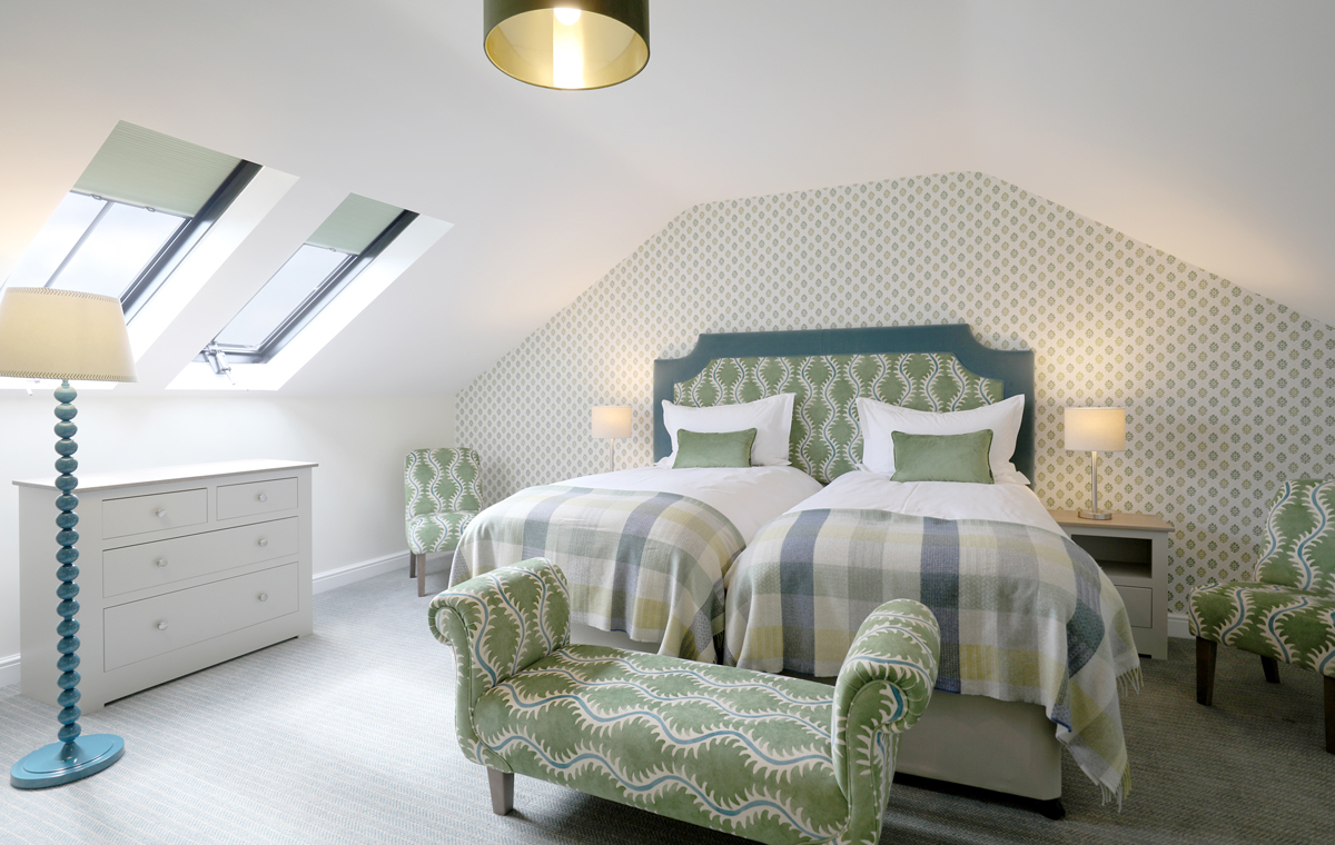
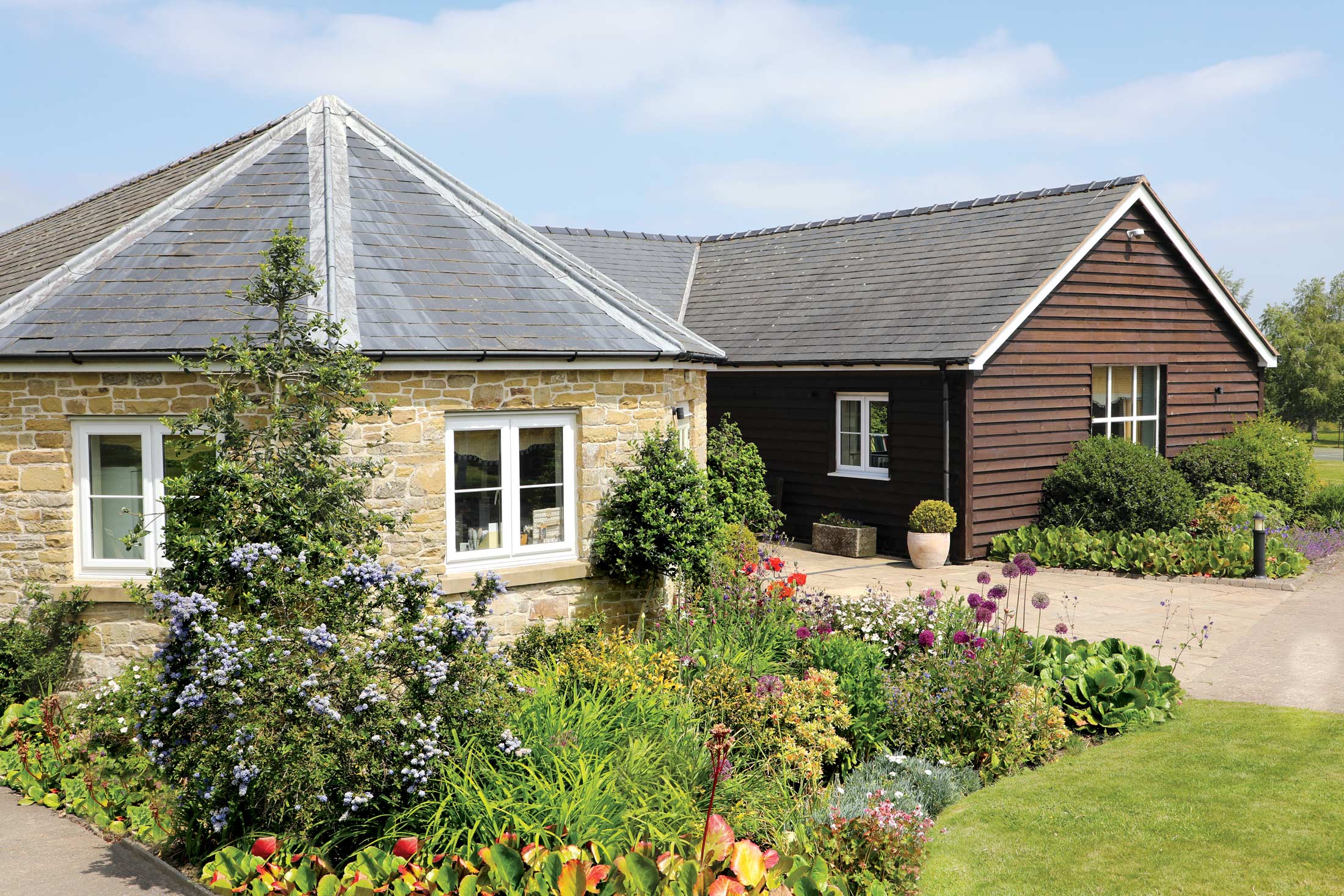
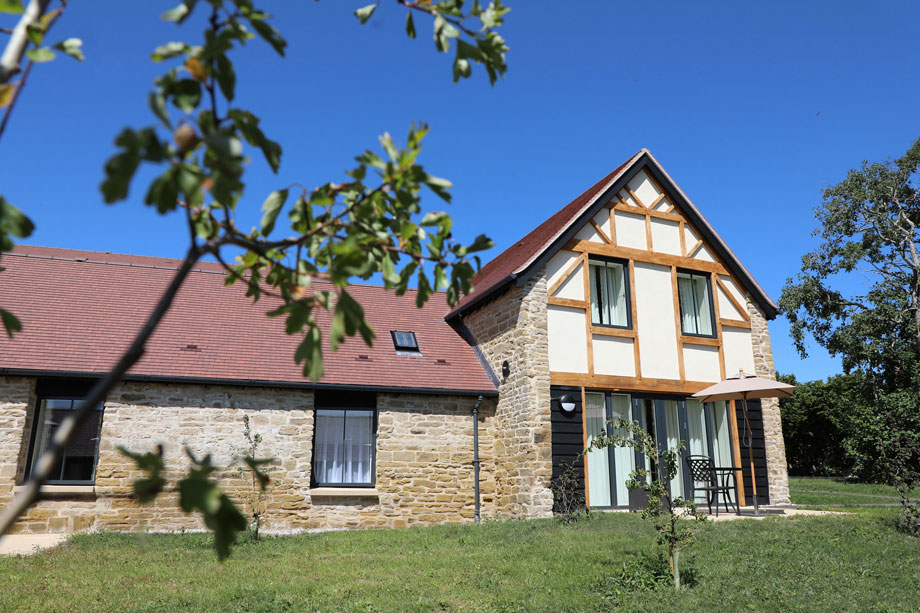
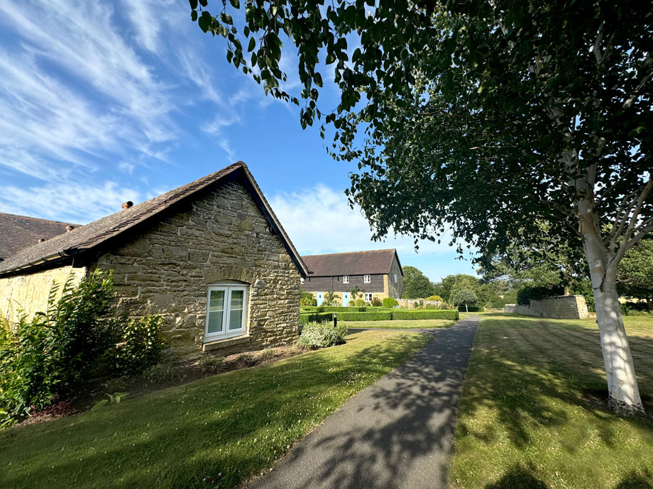
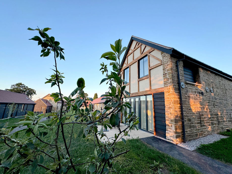
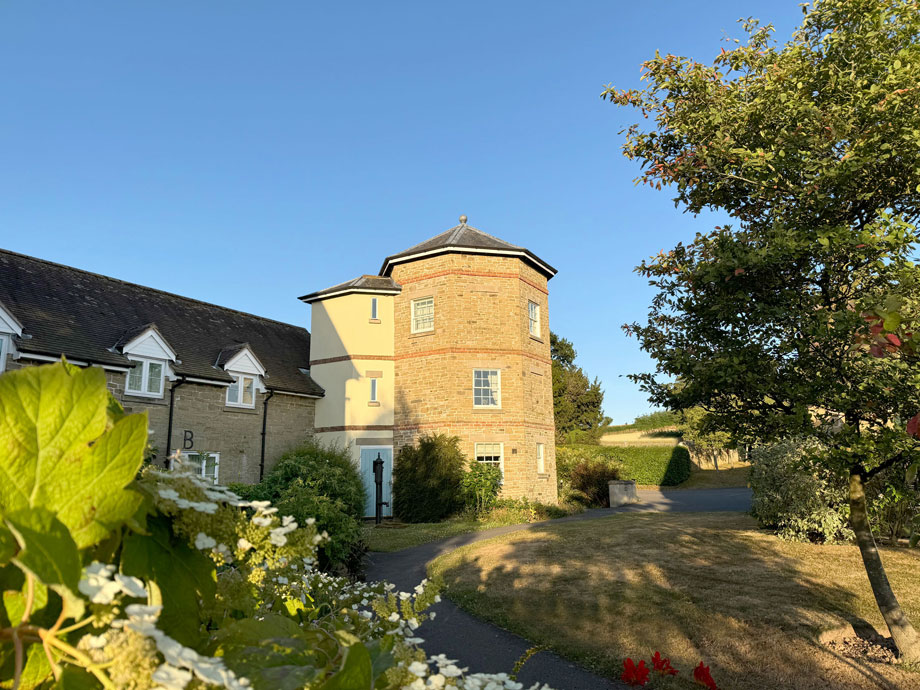
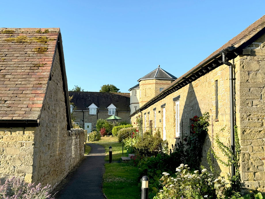
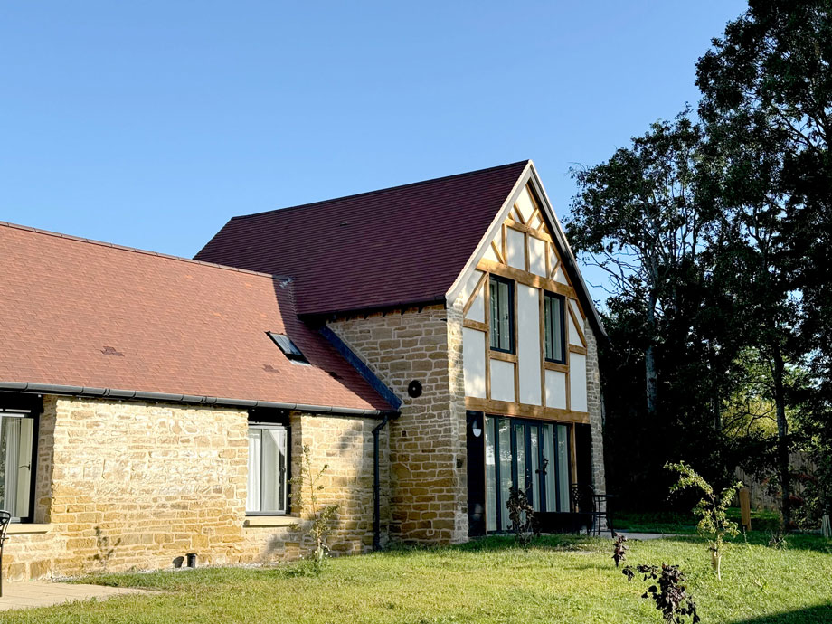
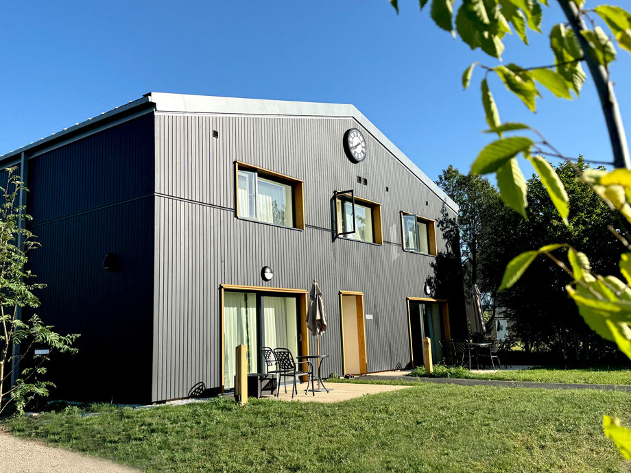
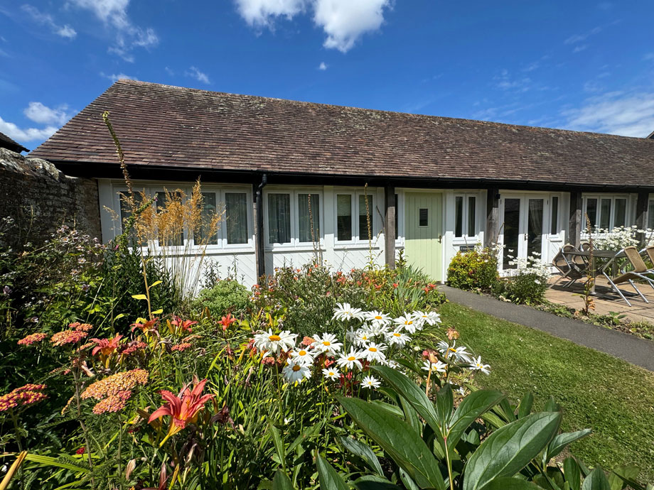
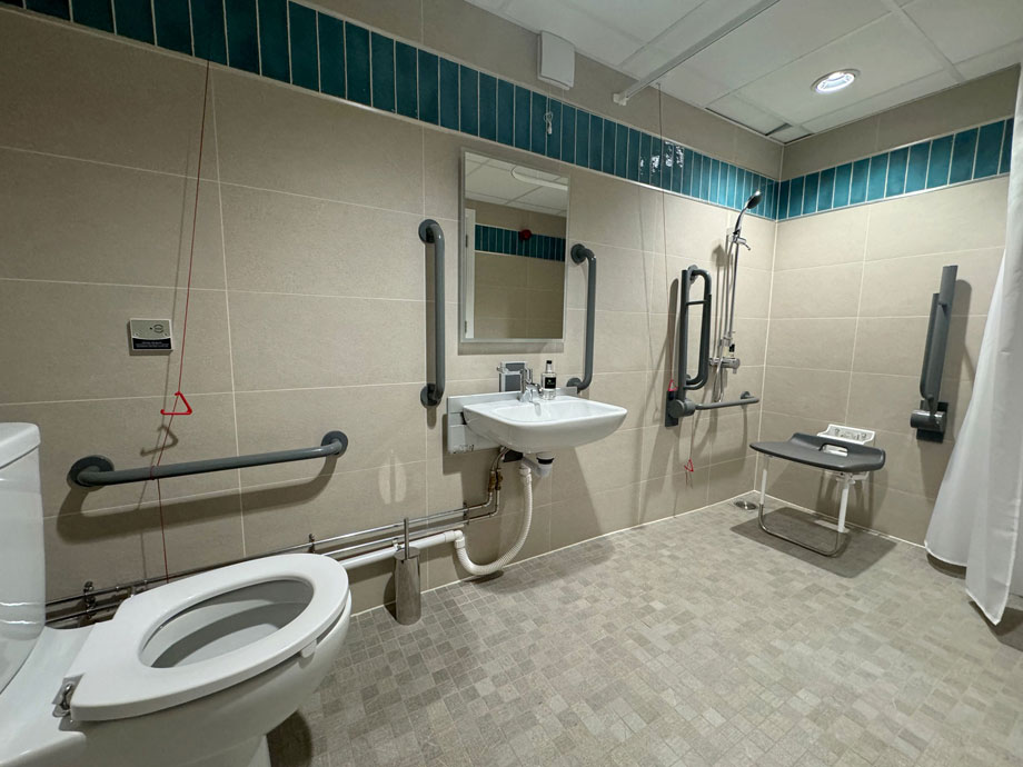
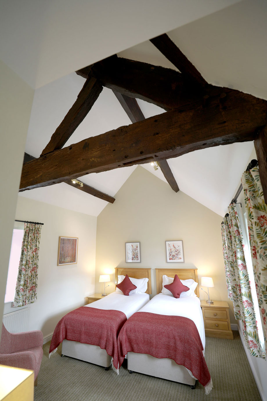
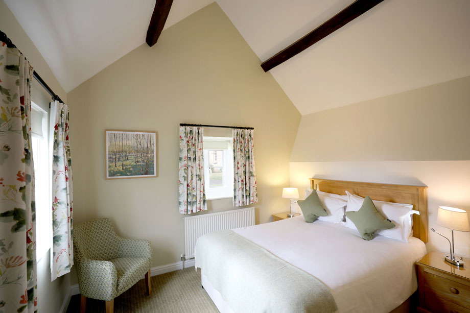
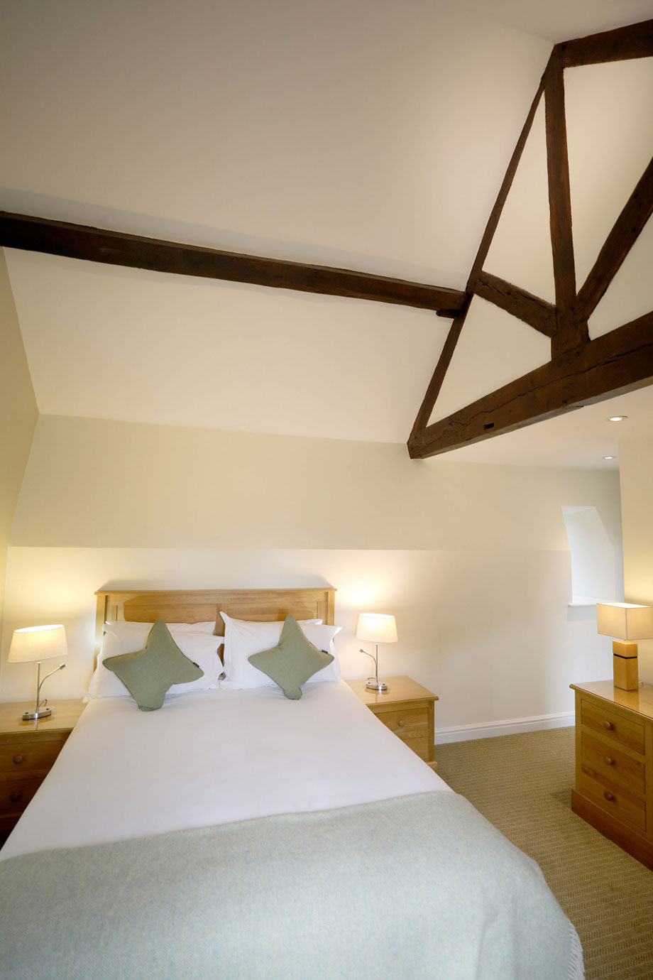
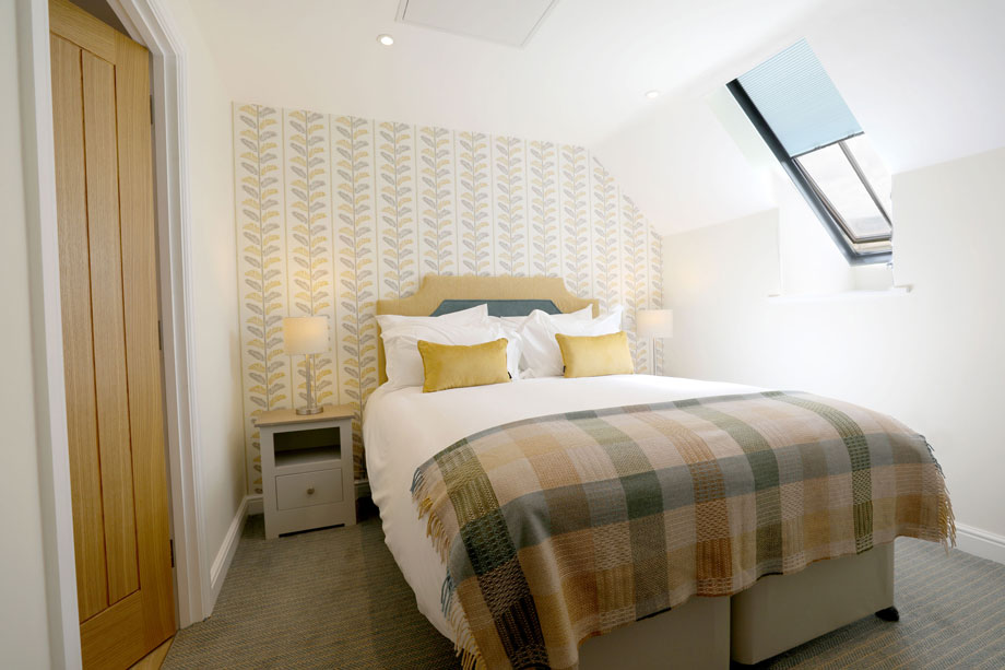
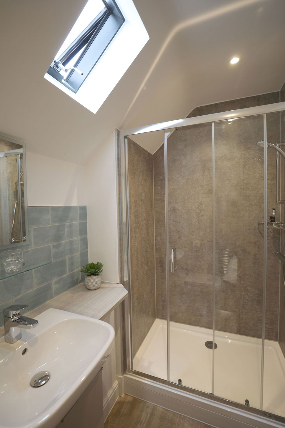
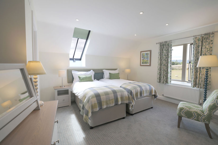
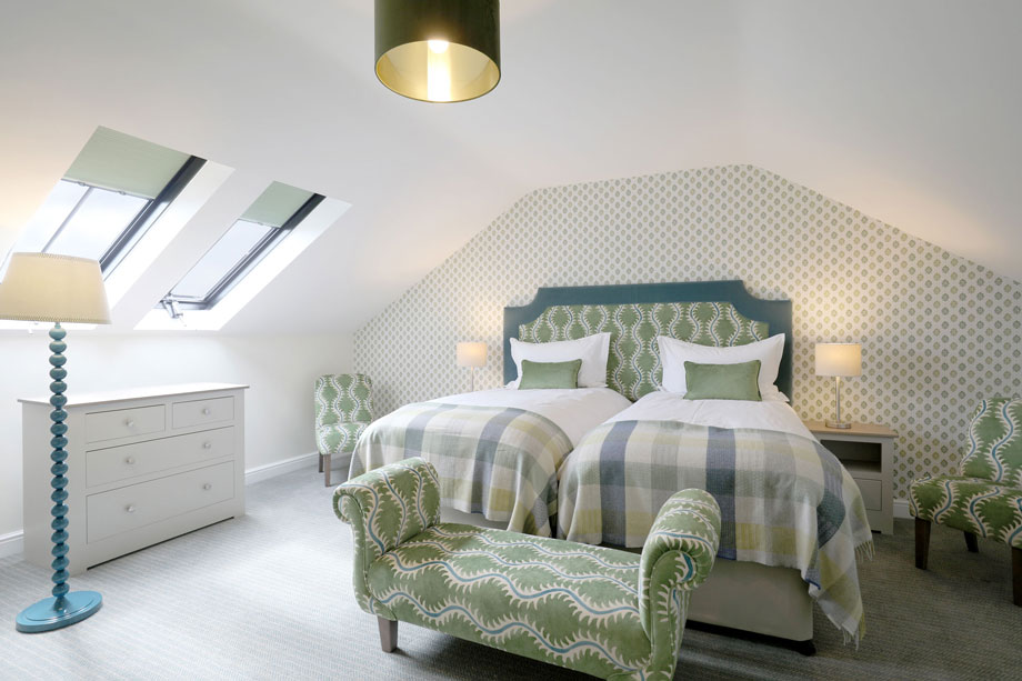
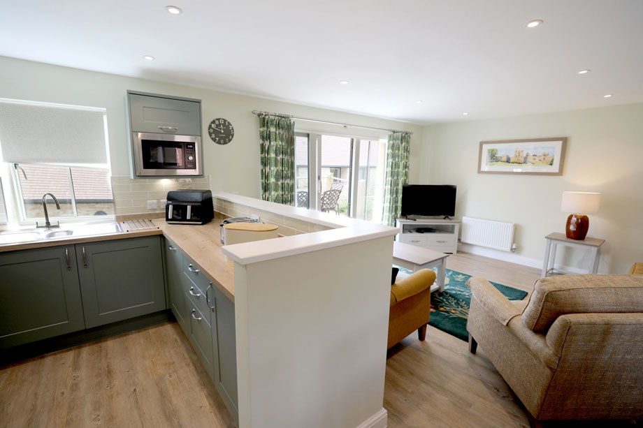
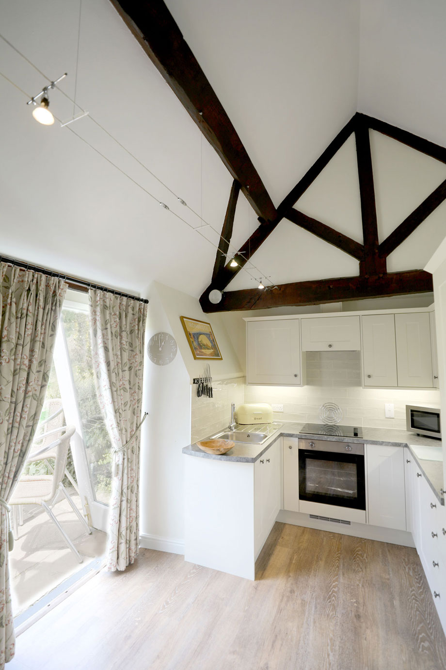
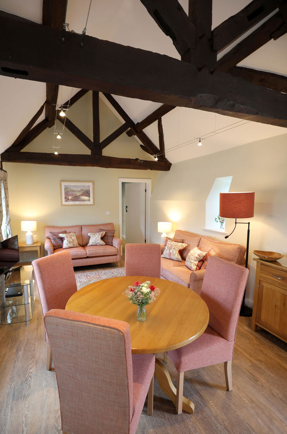
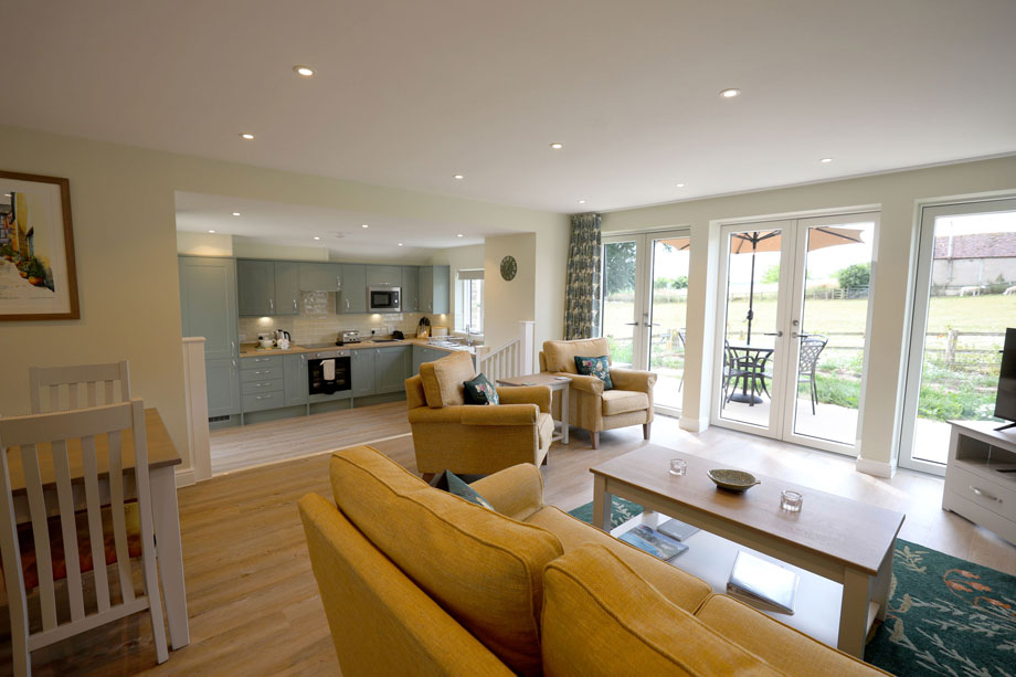
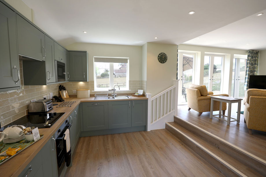
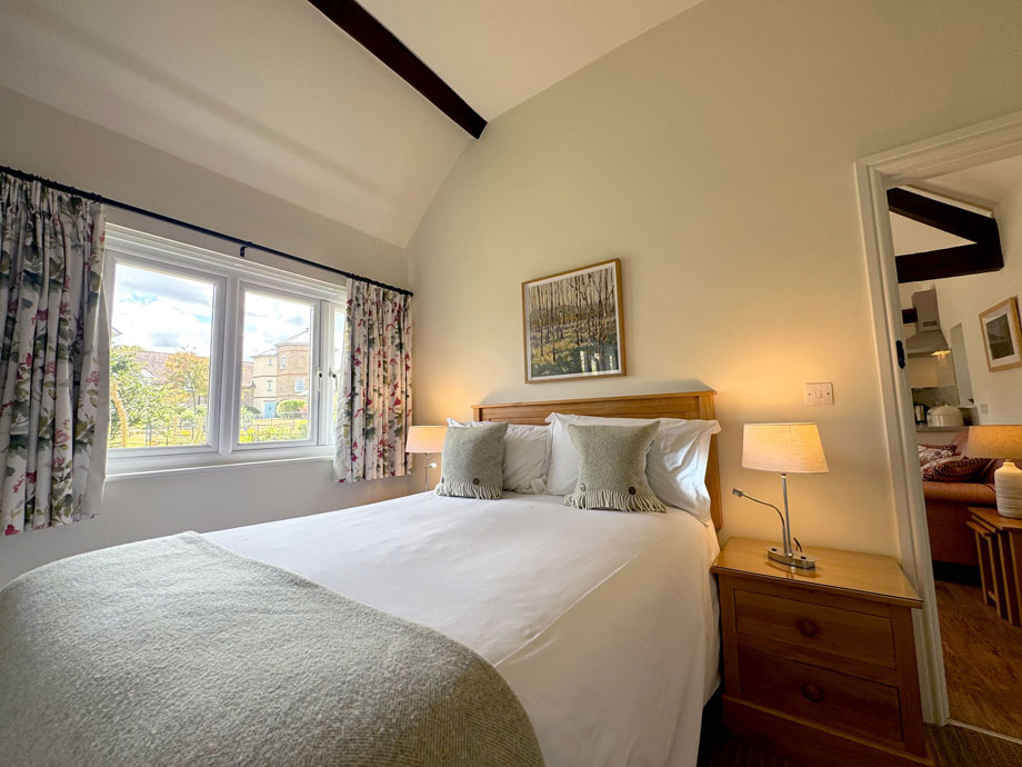
Thirty six, one, two and three-bedroom properties have been skilfully converted both within Upper Norton’s traditional farmhouse and its extensive outbuildings.
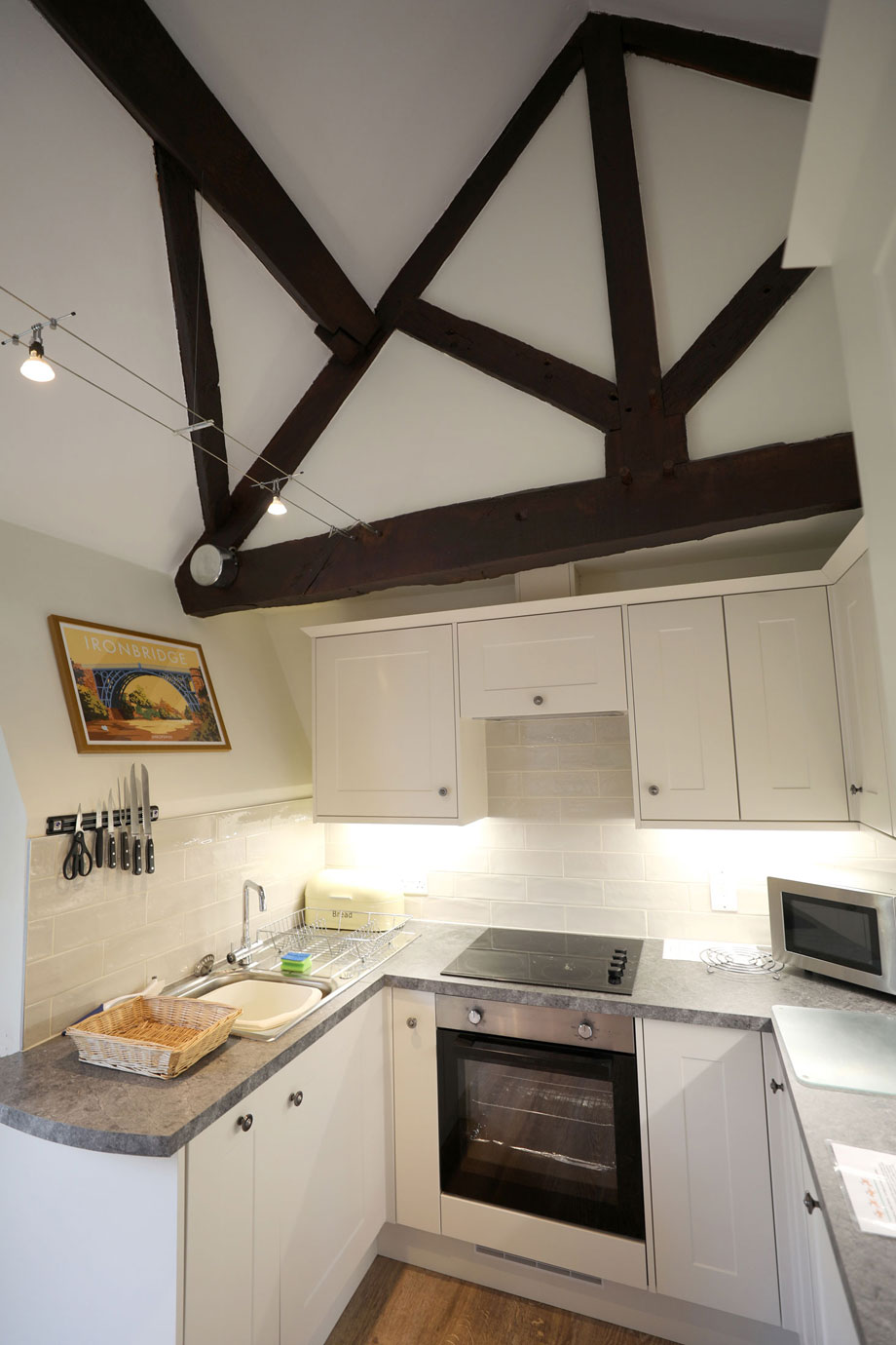
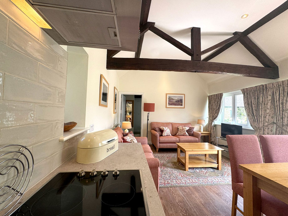
Only two cottages are new build. All the properties are furnished to the highest standard and equipped with televisions and DVD players. Each has a fully fitted kitchen.
The two and three bedroom cottages also have dishwashers. Centrally heated, the properties are a delight, all year round.
Properties in Shropshire

Location
HPB Upper Norton
Norton Farm
Norton
Shropshire
England
SY7 9LT
Tel: +44 800 230 0391
Email: details@hpb.co.uk
With 21 cottages of various sizes, Upper Norton is a place for quiet contemplation rather than frenetic activity. To holiday here, with its fabulous views and rolling countryside, is to be wrapped in a blanket of calm.
Time spent at Upper Norton is never time wasted. There’s tennis to play, as well as pool, bar billiards and snooker. But if ever a holiday home suited curling up with a good book – without having to apologise for your indolence! – Upper Norton is it.
And if by some mischance you’ve turned up without much in the way of reading matter, Upper Norton boasts a pretty well stocked reading library!
Things to do in Shropshire
The Shropshire Hills Discovery Centre marks the starting point for a range way-marked walks varying from two-eight miles in length.
It also has a Visitor Information Centre, library, shop with maps, books and gifts, a café, an exhibition about the landscape of The Shropshire Hills through the ages – and a unique balloon ride film enabling you to experience an airborne journey through the Shropshire Hills and over Ludlow without leaving terra firma.


Walks
Having a Private Tour at an HPB holiday location is an enjoyable way to see the high standards of furnishings and facilities you could enjoy with HPB.
A local HPB Representative will show you around the site and answer any questions you may have.
Alternatively, you are welcome to book a Personal Presentation at a hotel near you. You can chat to one of our local HPB Representatives, ask your questions and view the complete portfolio of HPB locations.
Read our HPB Feefo Reviews
HPB’s holiday booking service has been rated 4.9 out of 5 based on 14,772 customer reviews on Feefo
![]()
“Buying into the future”
Mike DugdaleI got talking to our next-door neighbour at Barnham Broom, who’s been a Bondholder for a while; the family were full of enthusiasm and, while in no way pushy, was really keen to pass on advice and knowledge about any other sites we’re thinking of visiting. We swapped email addresses and will definitely be in touch – but it shows the strength of feeling about HPB, and the fact that there’s a real ‘family’ aspect to it.
