


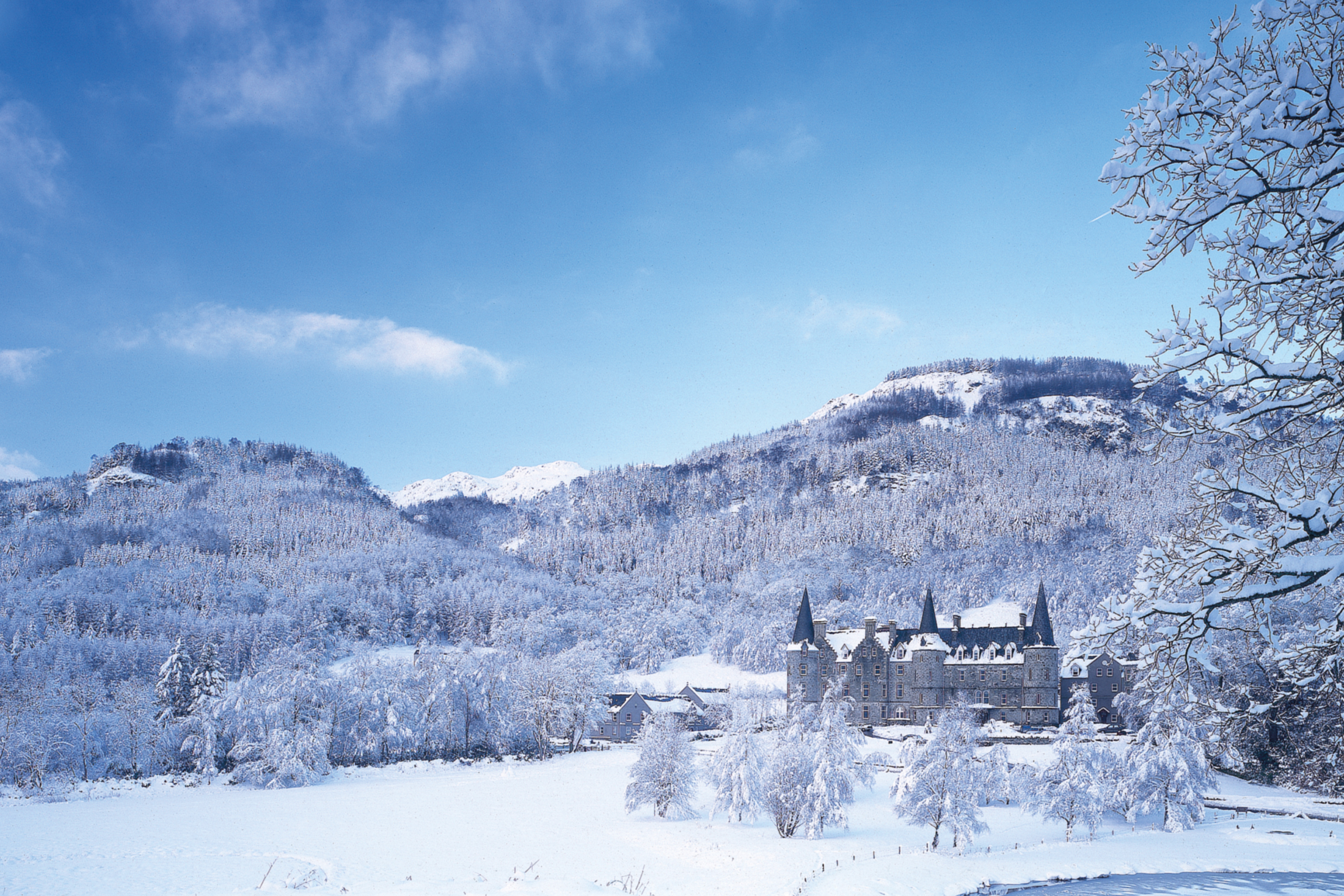
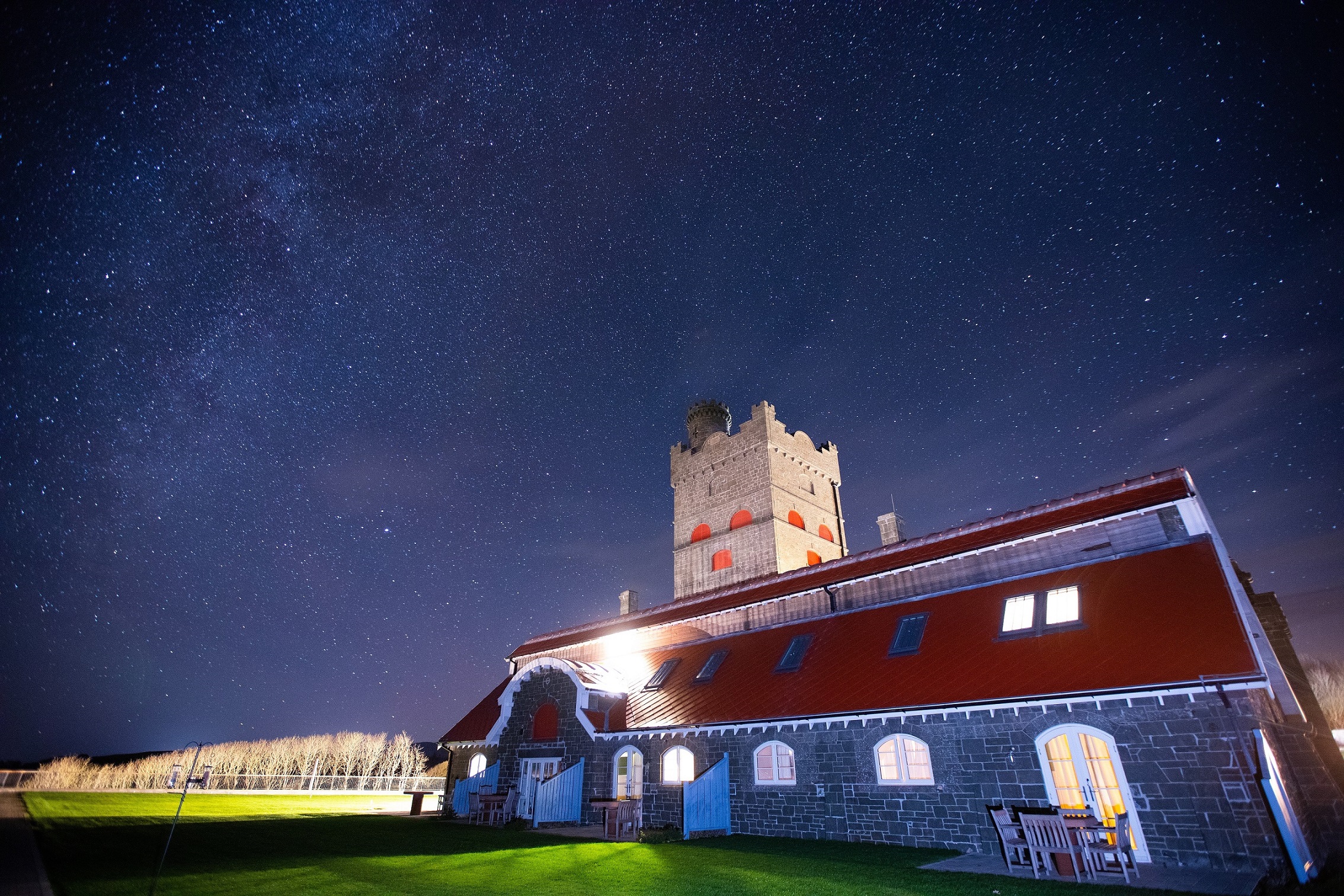
Tigh Mor , Trossachs, Scotland
Breathtaking scenery of the surrounding Loch Lomond and Trossachs National Park
Book a tour Open Gallery-
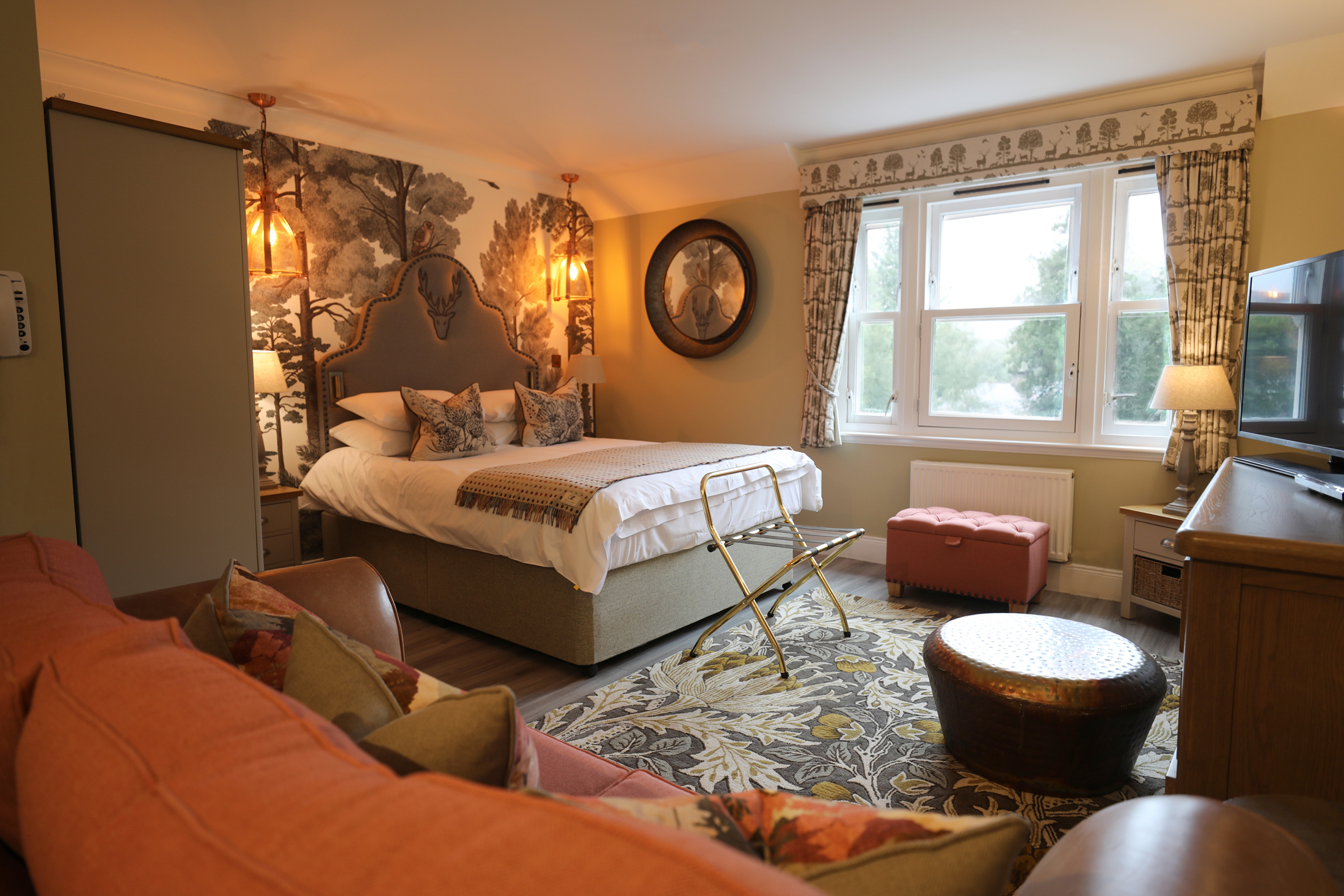
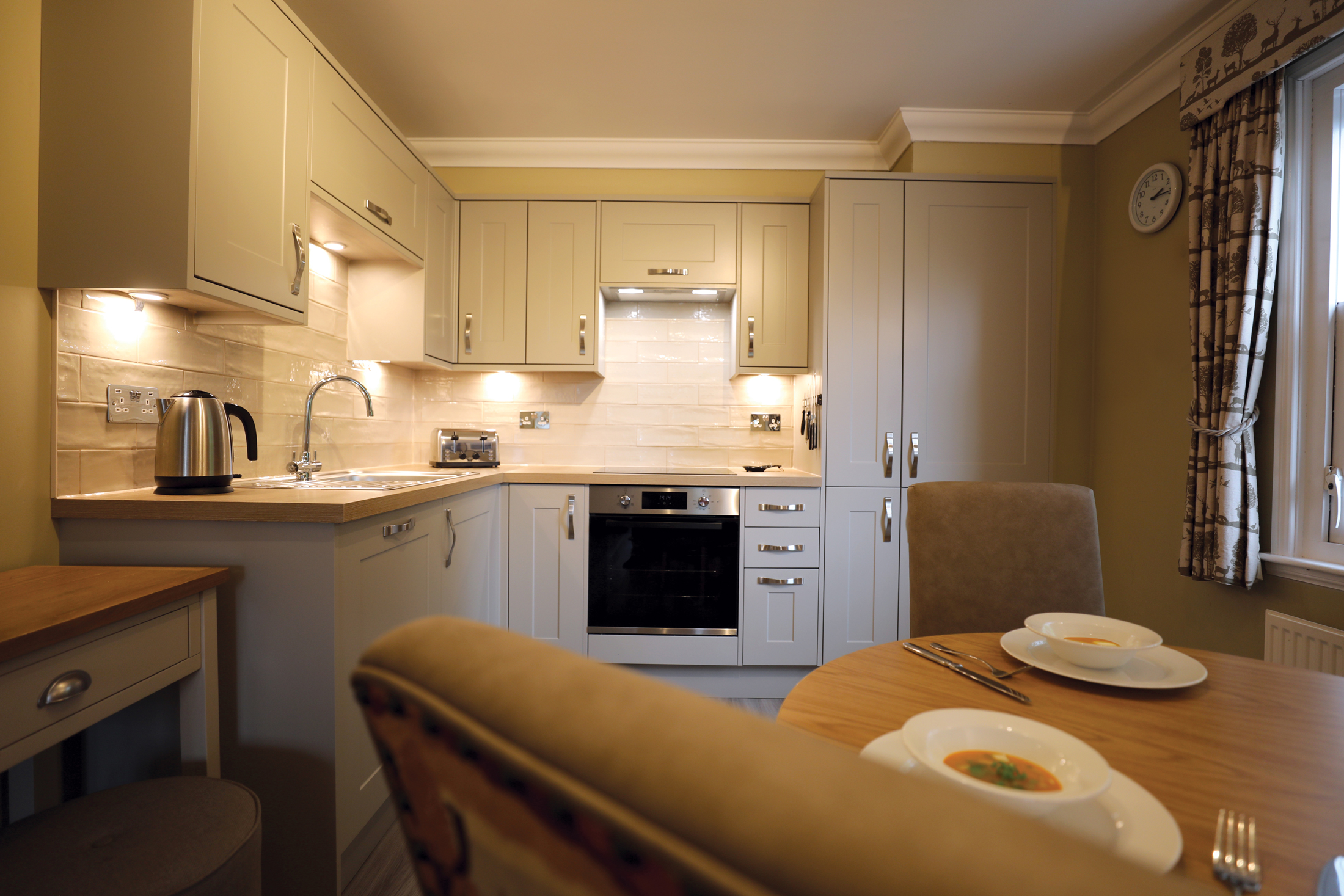
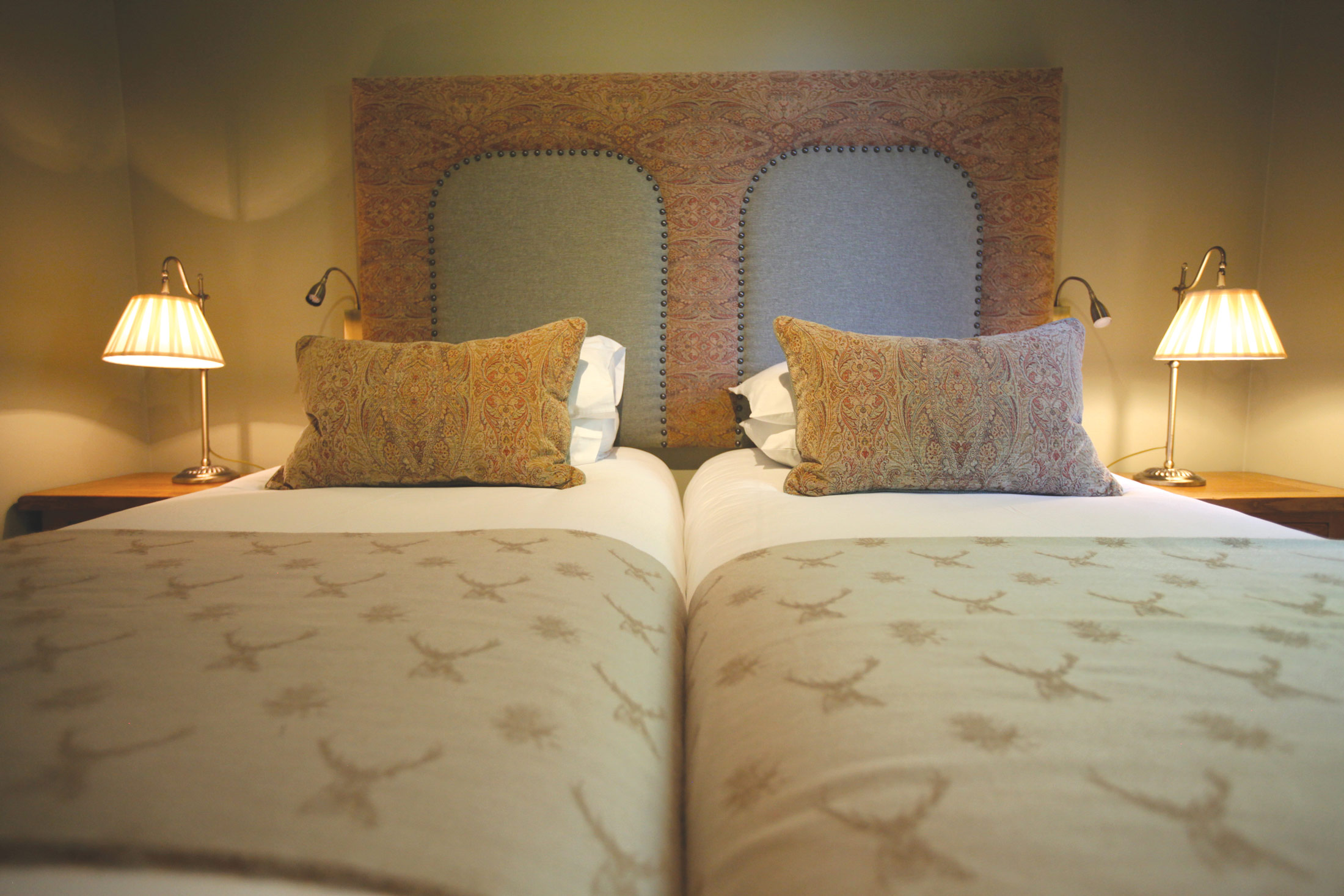
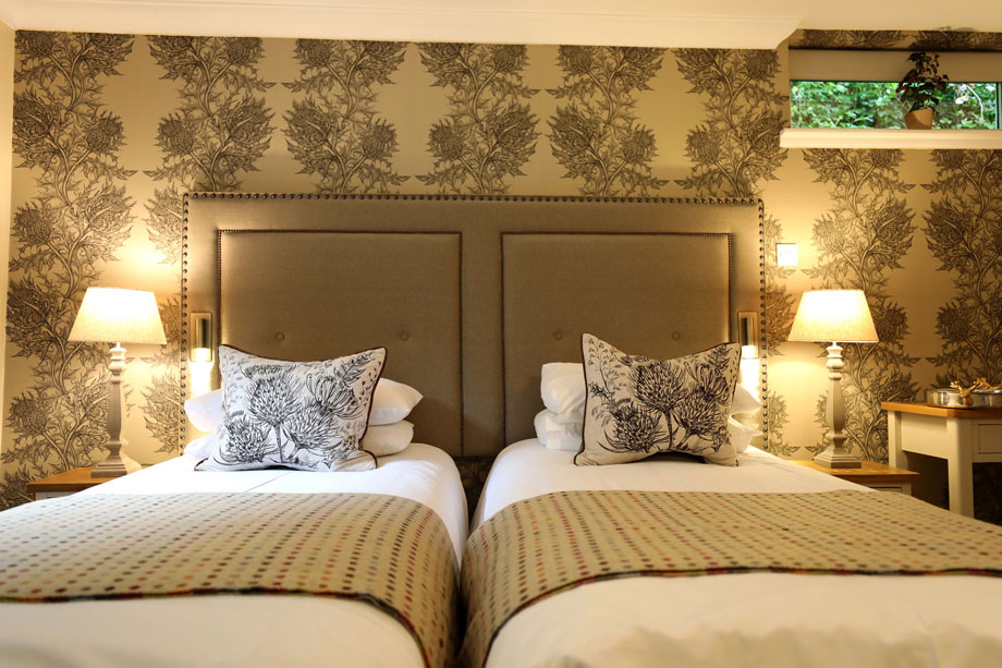
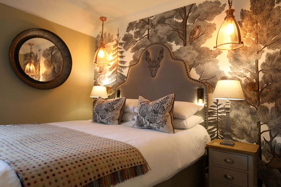
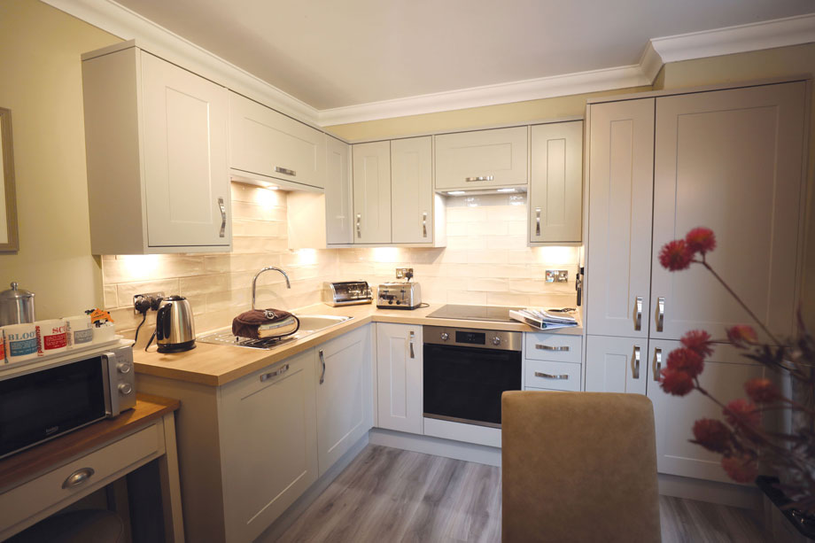
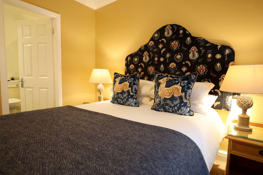
76 holiday properties in a magnificent Victorian building in Stirling
-
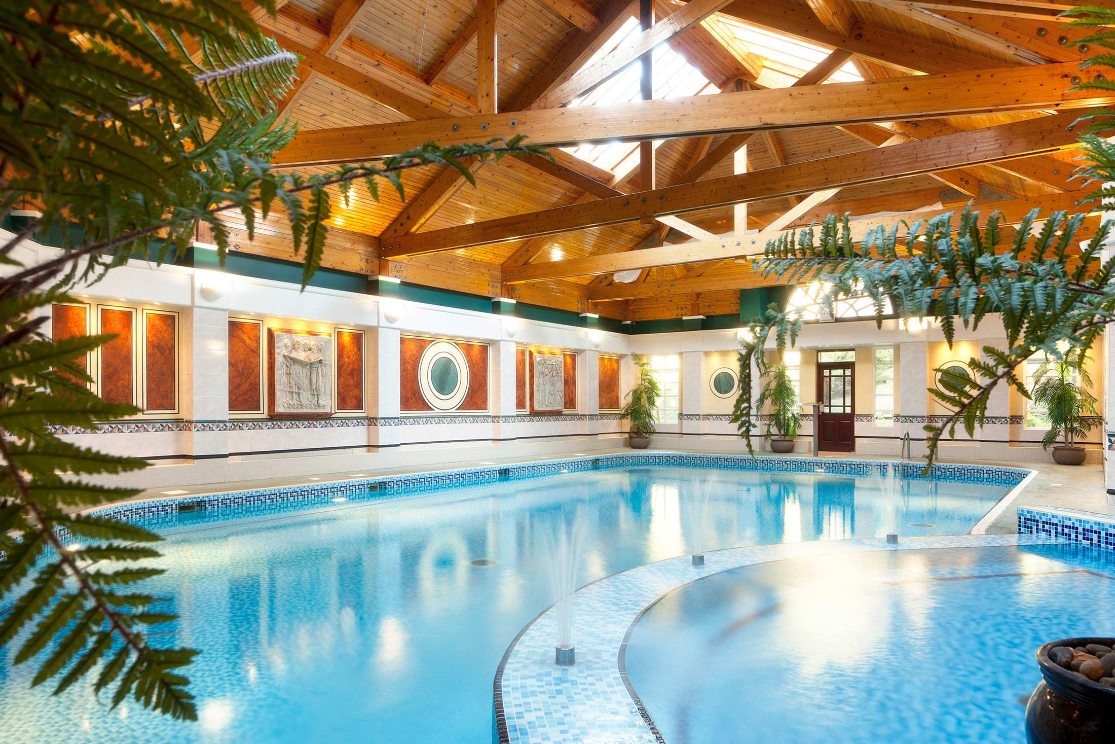
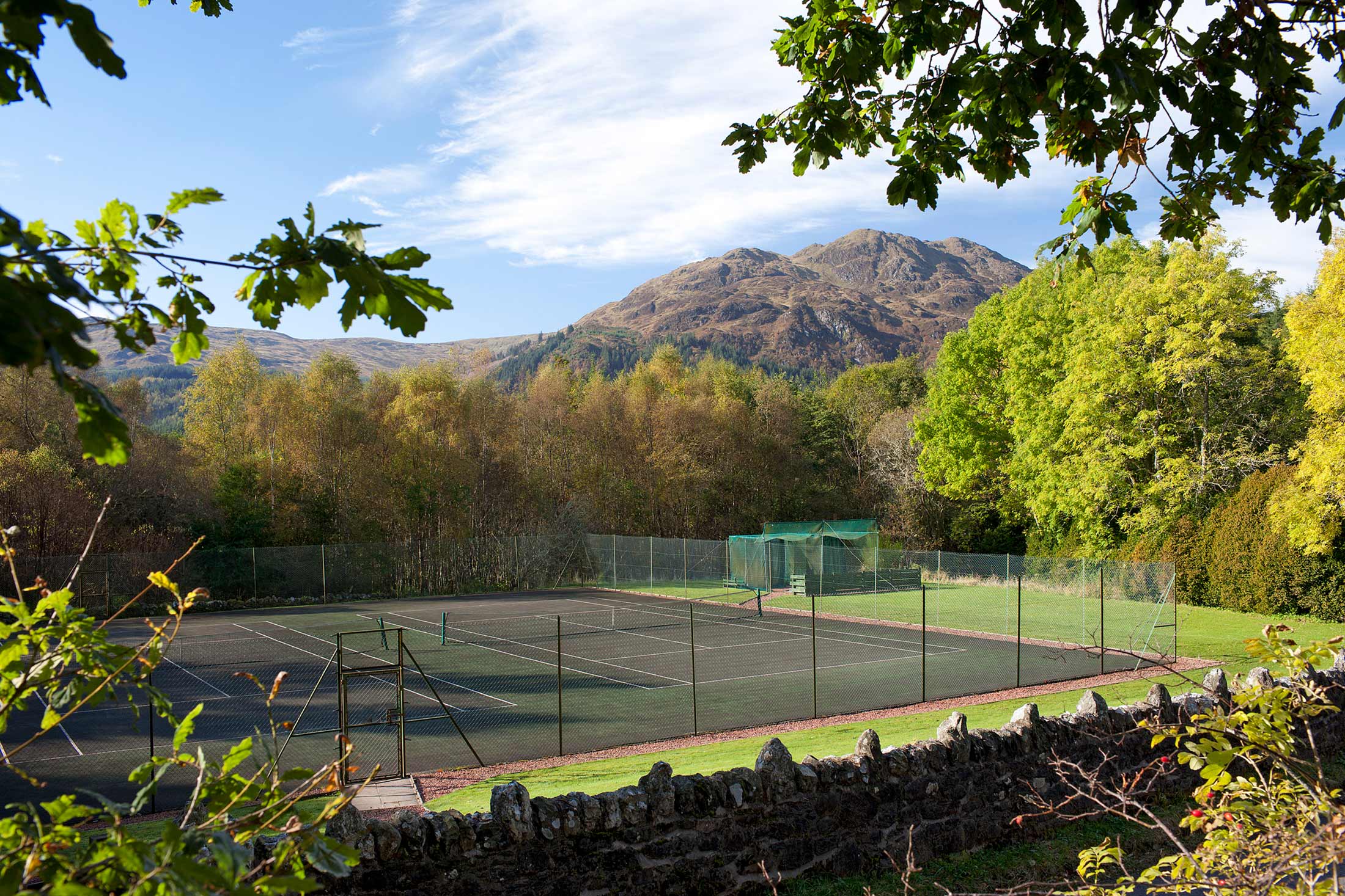
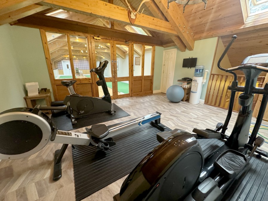
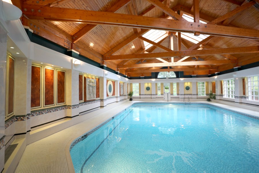
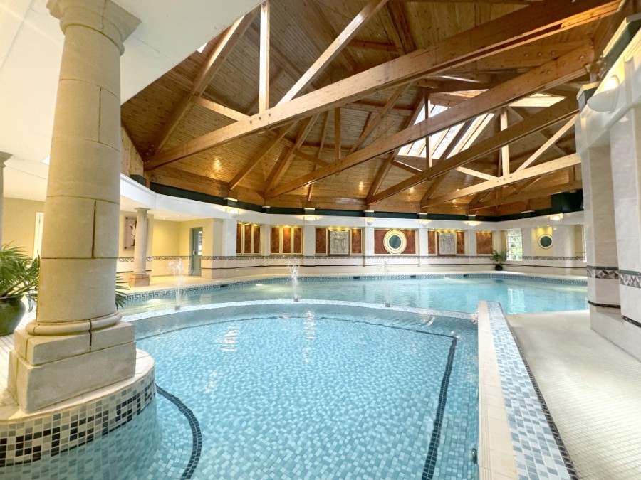
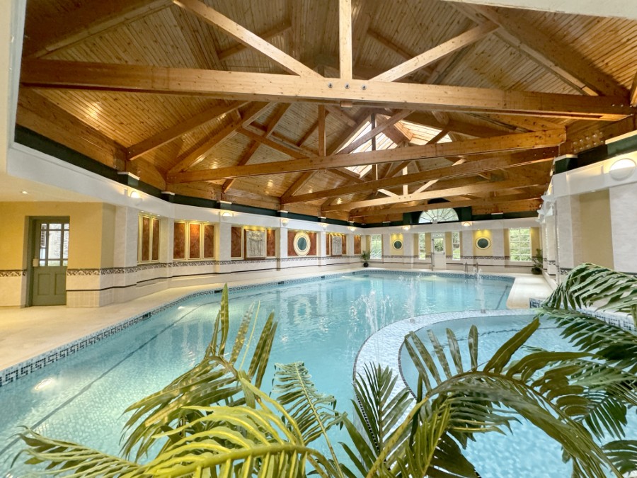
Fully equipped leisure centre, with tennis courts, indoor swimming pool and exercise room
-
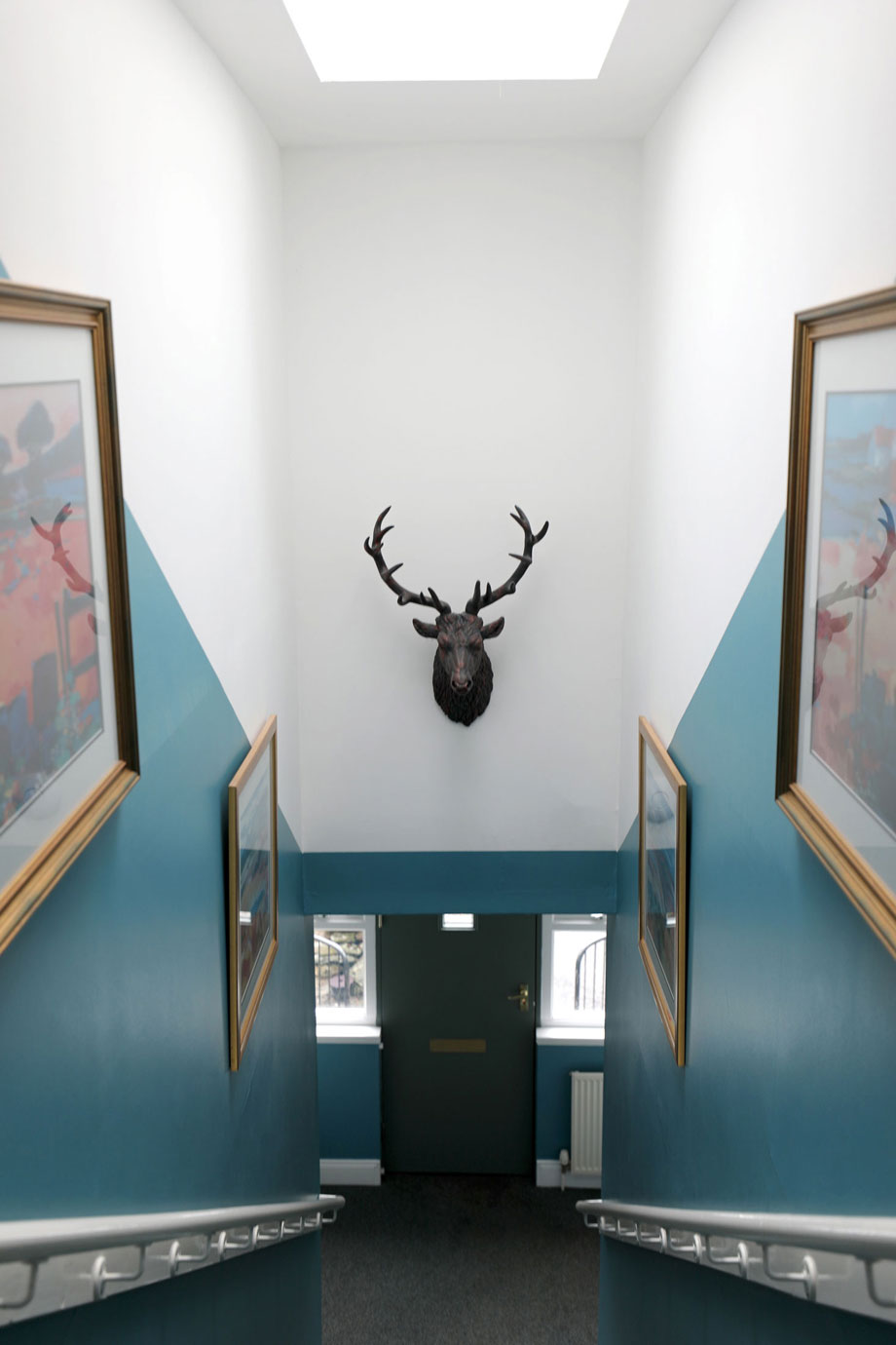
Restored to be every bit as magnificent as it was in its heyday
-
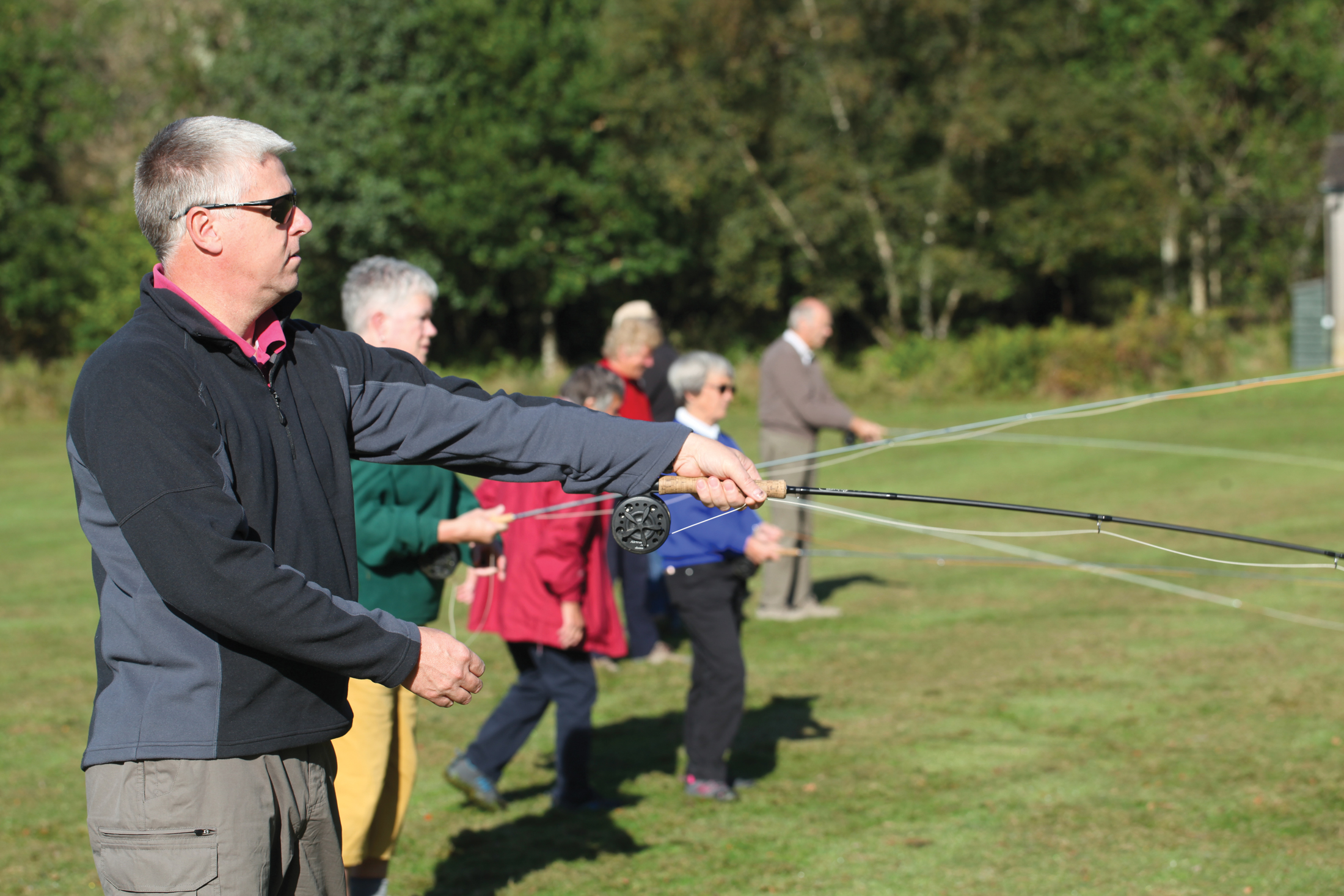
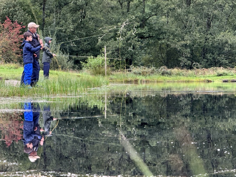
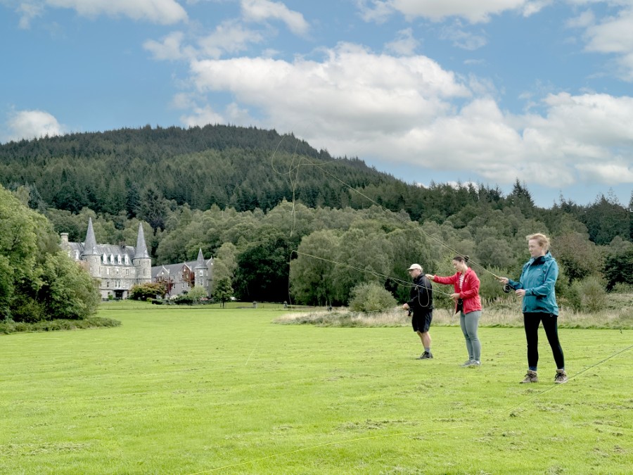
Fantastic fishing facilities on site and nearby
-
Breathtaking scenery of the surrounding Loch Lomond and Trossachs National Park
-
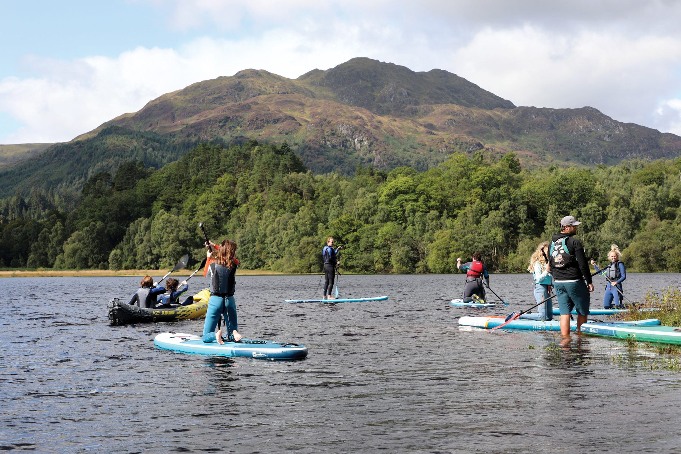
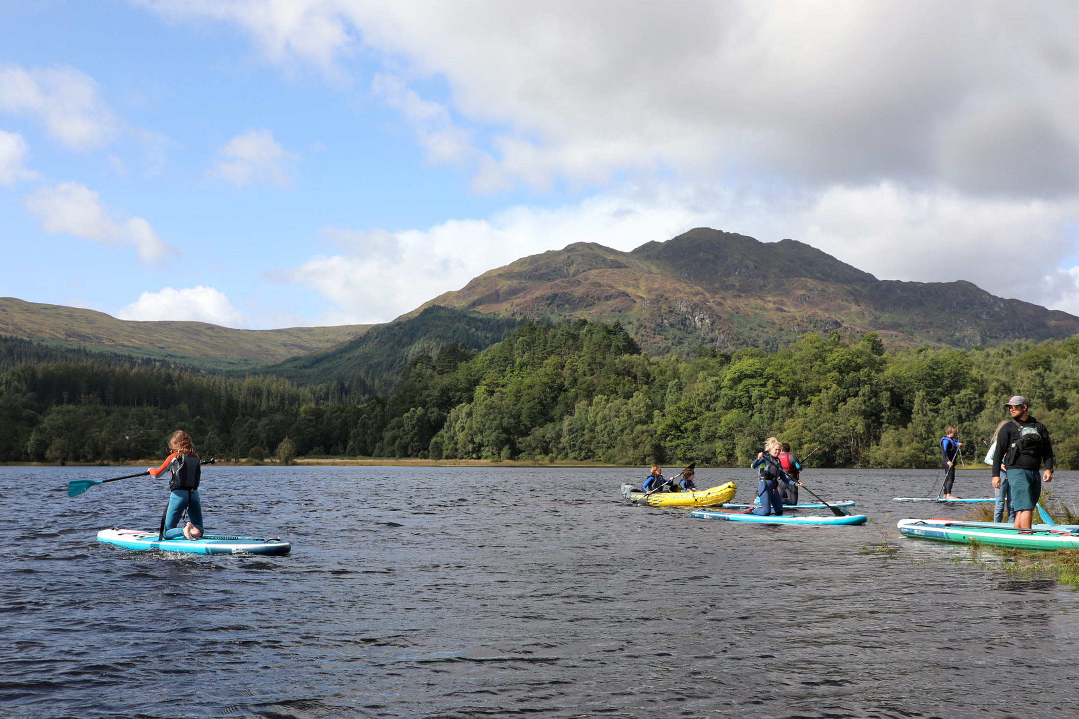
Wonderful walks with superb views and wildlife
-
A number of nearby castles and historic sites
Discover Trossachs
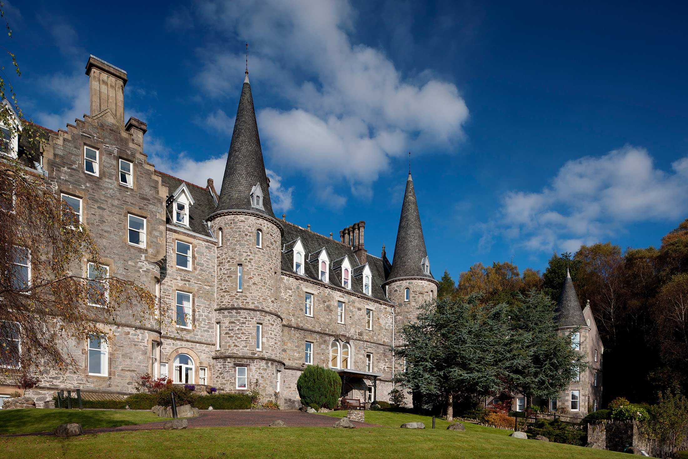
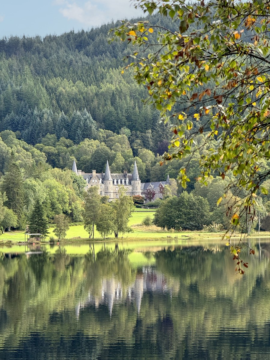
Tigh Mor, the ‘big house in the Trossachs’, was a sadly neglected former hotel when it was rescued and restored to its former glory. Following a multi-million pound restoration and development programme, Tigh Mor emerged every bit as magnificent as it was in its heyday when Queen Victoria stayed there. Today it provides a choice of outstanding holiday apartments and cottages.
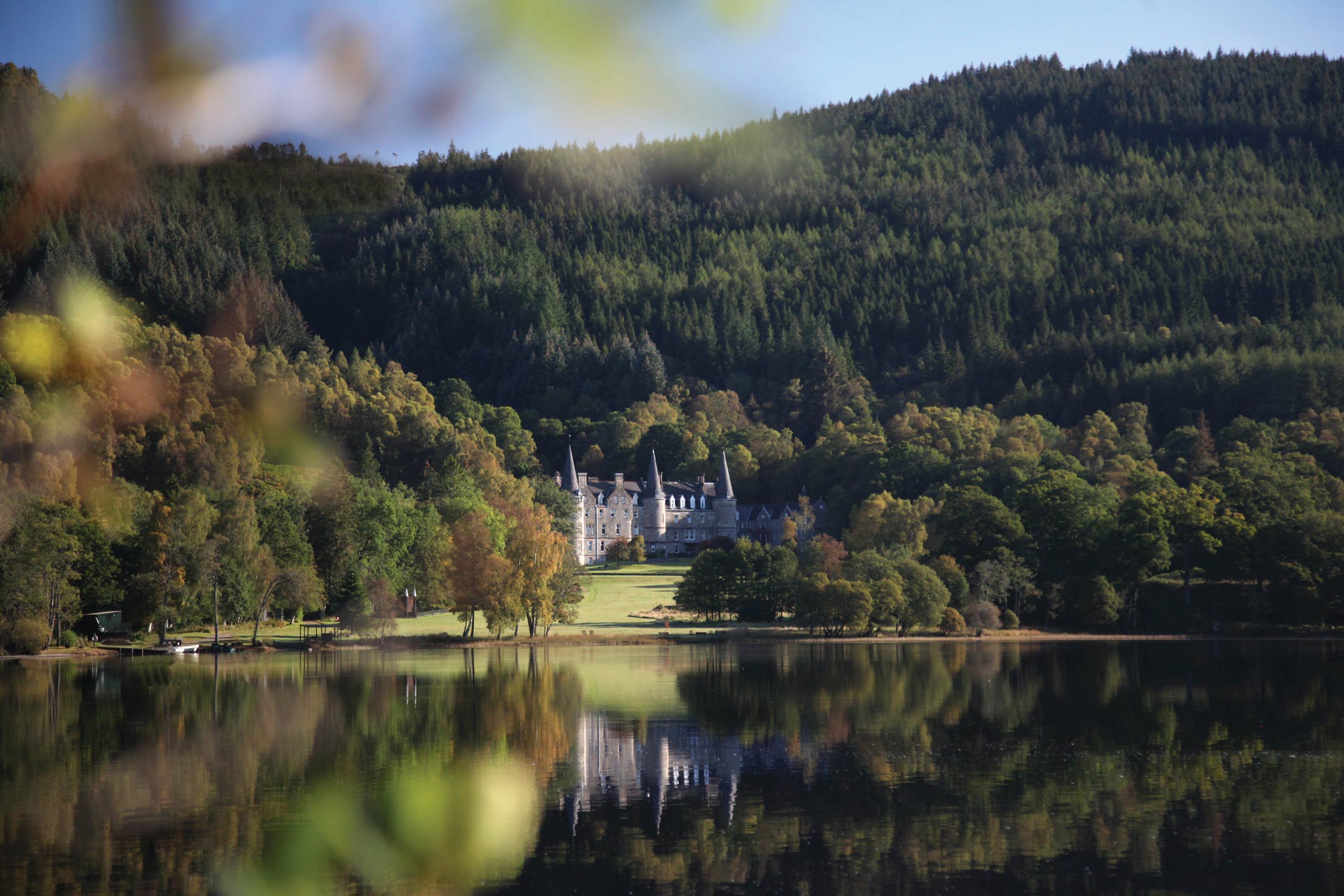
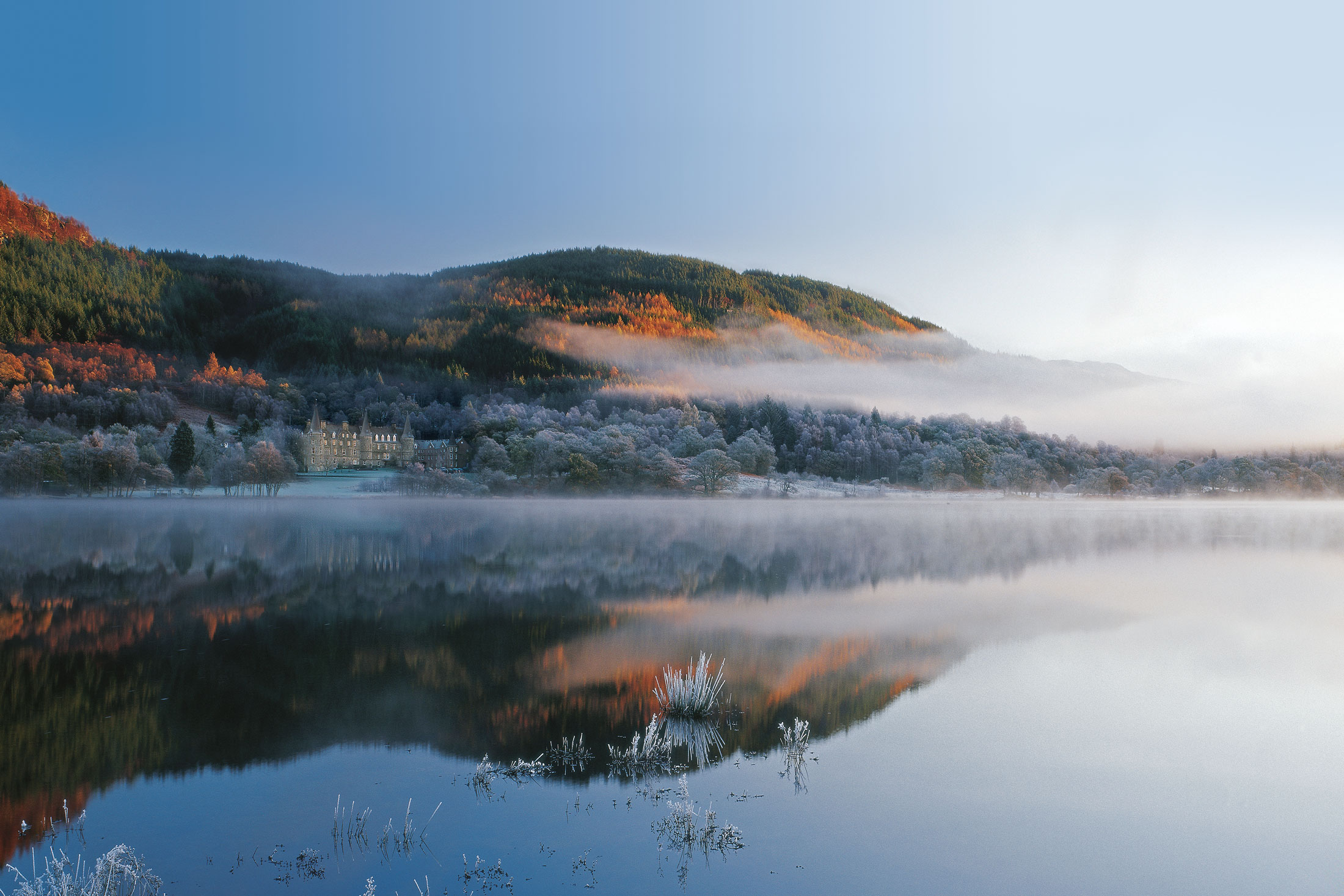
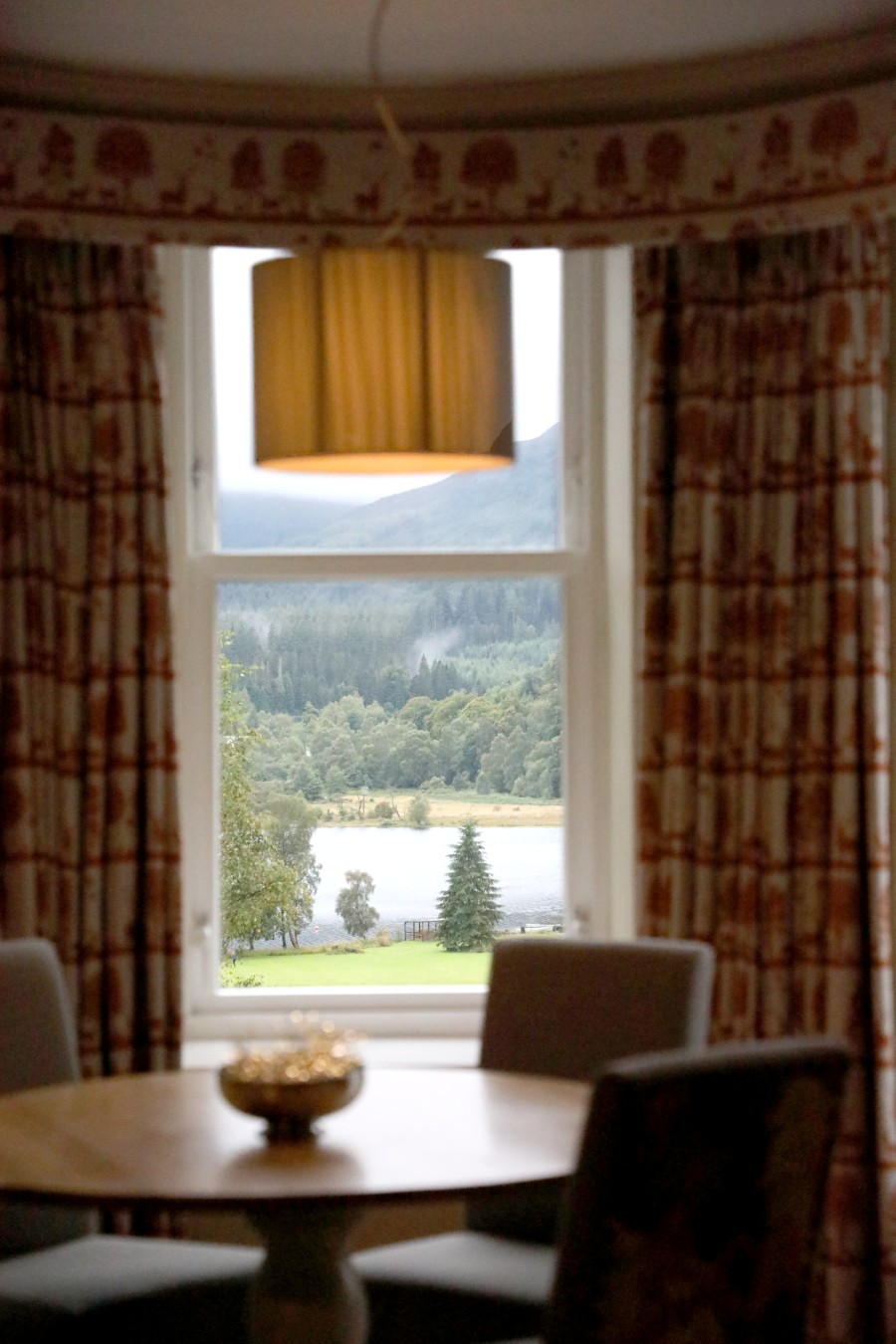
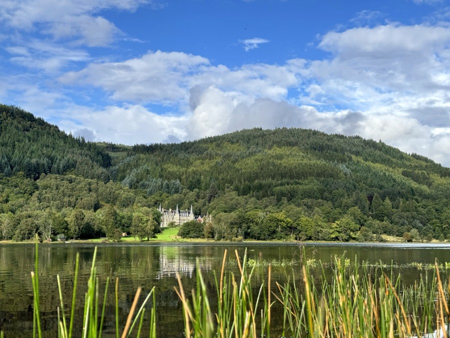
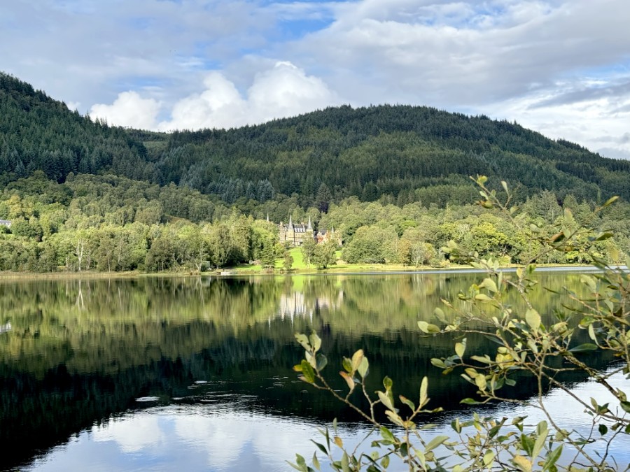
With magnificent views across Loch Achray, Tigh Mor offers a romantic introduction to the magnificent scenery of Highland Scotland – a land of craggy mountains, deep-cut glens and shimmering lochs, purple heather moorland and green forests.
Rich in wildlife, particularly deer and eagles, the Trossachs is a region of fascinating history and legend, from the mythical giant Fingal to the notorious outlaw Rob Roy Macgregor and his followers, the ‘children of the mist’.
Roughly a mile to the west of Tigh Mor you can discover the enchantment of Loch Katrine, the beautiful loch that inspired Sir Walter Scott to write The Lady of the Lake. The nearest town, Callander, has a golf course and is very popular with salmon fishers. Similarly, the River Teith – a 15-minute drive away – offers excellent salmon, sea trout and brown trout fishing.
Situated near the centre of Scotland, historic Stirlingshire truly is a beautiful place to stay. It’s often called the “Gateway to the Highlands” because of its strategic position between the Scottish Lowlands and Highlands.
Fantastic activities for couples and families
To see Stirling at its best, you need to explore on foot. Fortunately, there are plenty of walking trails to follow, suitable for all abilities. You could take the dog and enjoy a walk through a forest, or get up in the mountains and see some incredible views. If you’d prefer to travel on two wheels, you’re spoilt for choice when it comes to on and off-road cycling routes too.
Want to get your heart racing? The brave can go canyoning, cliff-jumping or flying in a microlight. Queen Elizabeth Forest Park is a great place to go walking, cycling, horse-riding or to try something a little more adventurous. We certainly recommend paying it a visit.
Easy access to the Trossachs incredible lochs
The Trossachs has an impressive 22 lochs, with Loch Lomond being the most famous. Of course, we recommend that you see as many as you can during your stay, but if you only have time for a couple, then Loch Katrine isn’t to be missed. It’s well known as being the inspiration for The Lady of the Lake by Sir Walter Scott, who now has a steamship named after him there. You can easily reach the loch by foot.
Enjoy Scotland’s fishing mecca
Keen anglers will not be disappointed, as this region is rich with great fishing spots. If you want to know where to go and what to do to catch the best fish, hire a ghillie to take you on a guided visit to a loch or river. Of course, you could stay closer to home and fish in Tigh Mor’s own fishing pond or Loch Achray.
Taste some of the finest whisky in Scotland
You can’t leave Scotland without sampling its national drink. Luckily, there are plenty of whisky distilleries in the surrounding areas, including Deanston’s. There, you’ll get a detailed tour of the distillery and you’ll even get to try some of its produce. Just make sure you get the bus home!
If you and your designated driver don’t mind travelling a bit further afield, Glengoyne is renowned for being one of the most beautiful distilleries in Scotland. Its malt whisky is beloved all over the world, so taking a tour here is a must. Why not try the whisky and chocolate tour, or really push the boat out and try the Masterclass, where you’ll taste various whiskies and sherries?
You’ll even get the chance to make your very own single malt!
Explore magnificent castles
Scotland is perhaps just as famous for its castles as it is its whisky, and there are certainly a few to see around Stirling. Two of the best are Doune Castle and Stirling Castle – the latter is one of the grandest and overlooks a number of Scotland’s important battlefields.
Doune Castle, on the other hand, dates back to the medieval era and was once occupied by the forces of Bonnie Prince Charlie. Although it has undergone renovations, the castle’s appearance today isn’t far off how it originally looked.
Shops and restaurants
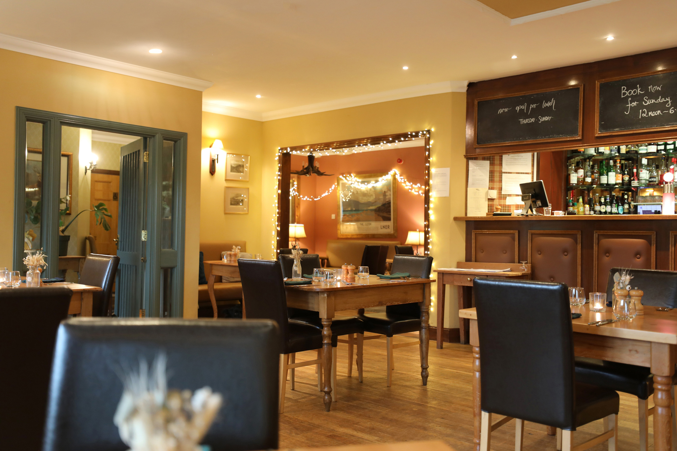
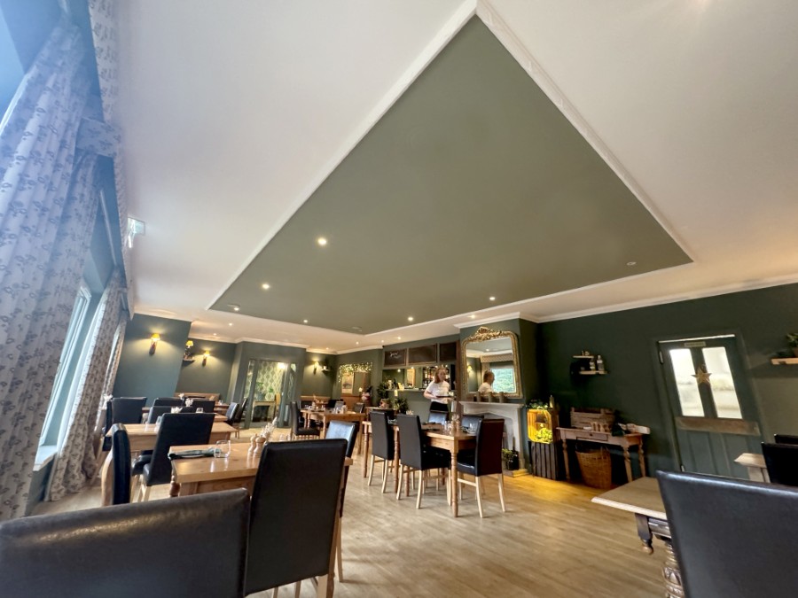
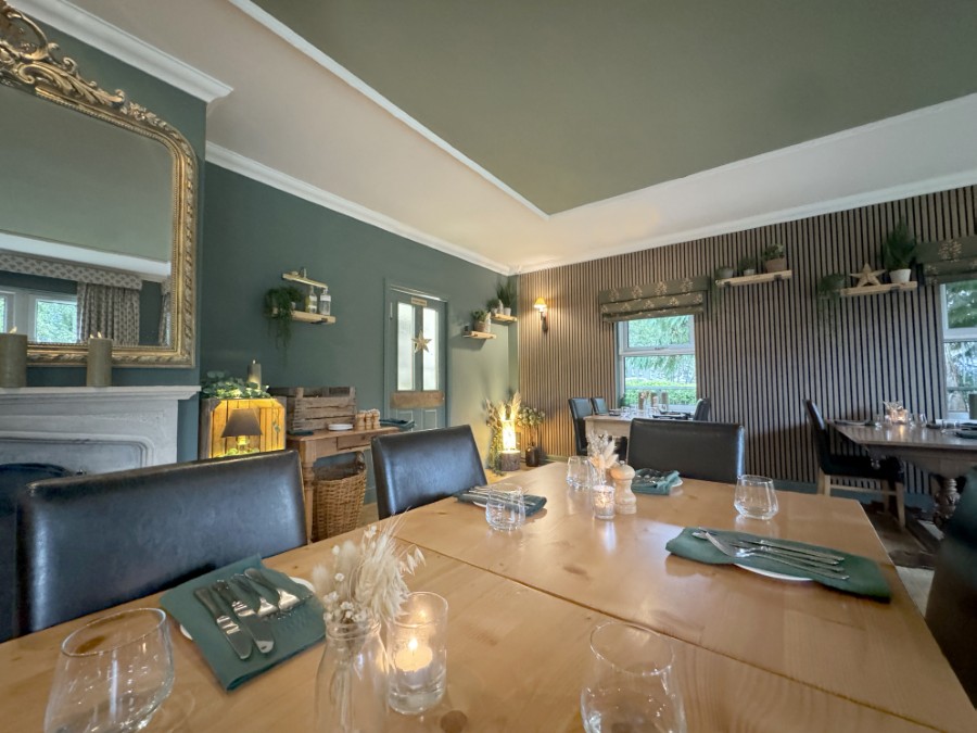
Scott’s Bistro and Bar, on-site, provides delicious home-cooked meals and a take-away service. Adjacent to reception is the well stocked site shop. Two pubs/restaurants are within easy reach. Callander, eight miles away, has numerous pubs and several licensed restaurants as well as good shops.
On-site facilities
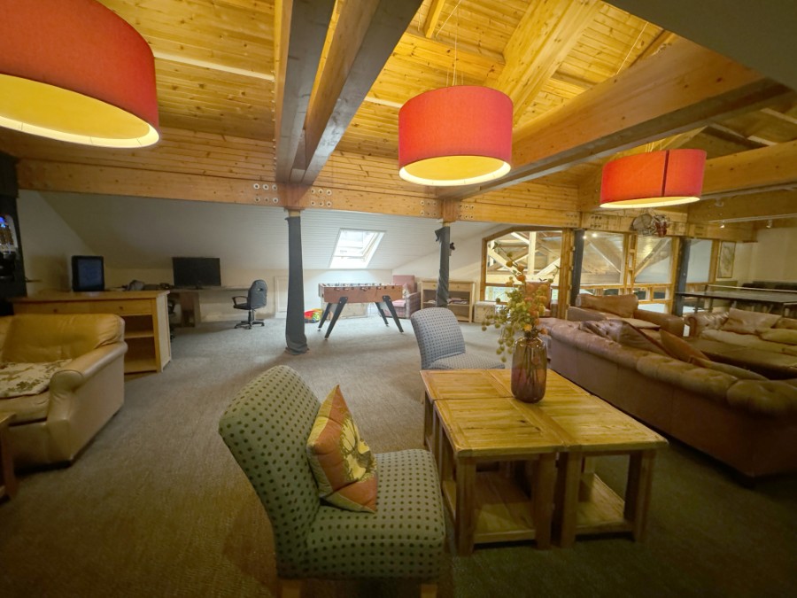
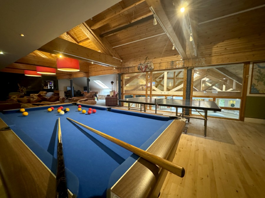
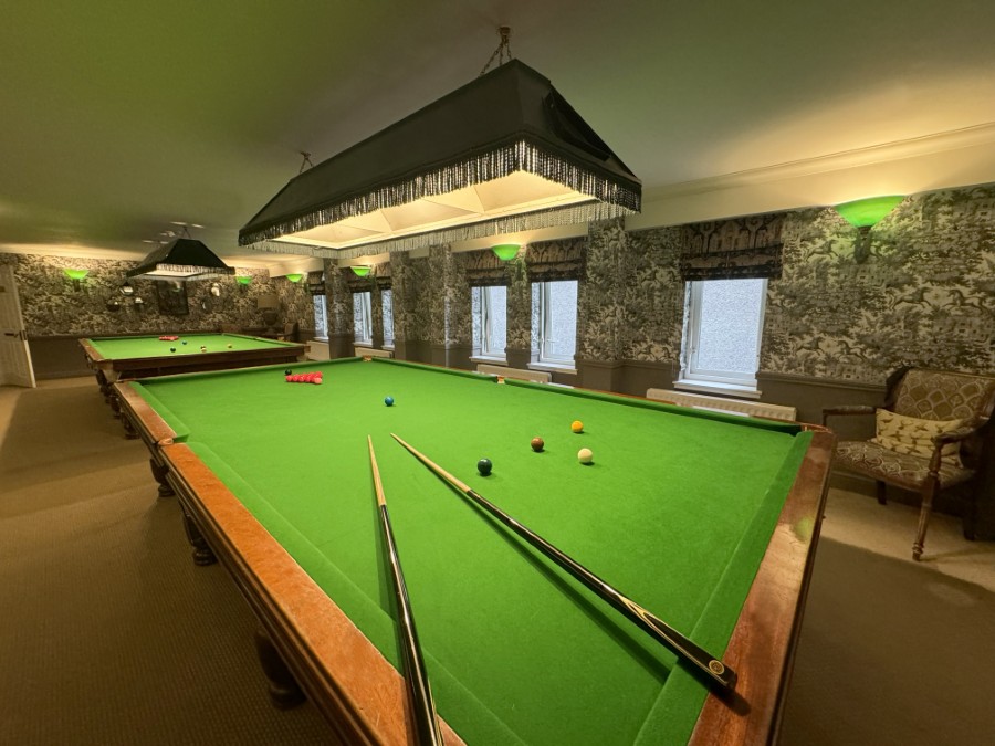
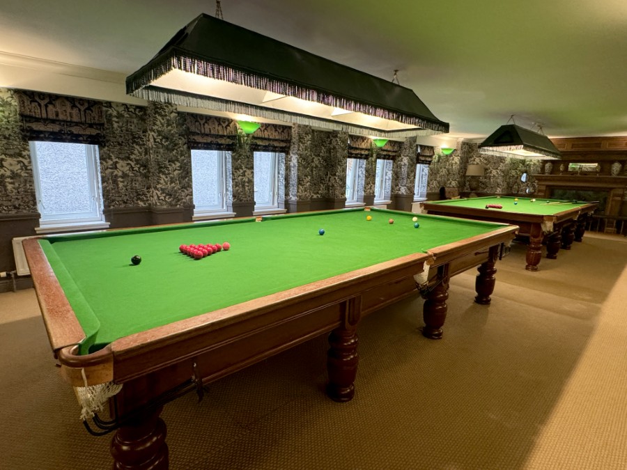
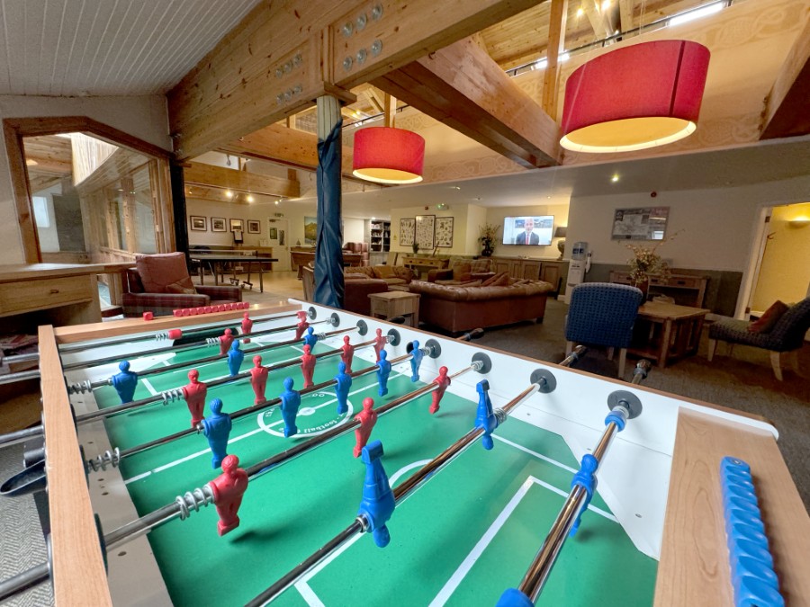
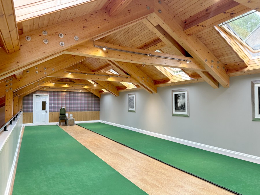
In the main building there is a well-stocked library and a fully-equipped leisure centre with a heated swimming pool, sauna, solarium and steam room. Tigh Mor also features a recently refitted exercise room with exercise machines. In addition, there are table tennis and pool tables, snooker and billiards, indoor bowls and a dance floor with a small bar open during events.
In the grounds there are three hard tennis courts, a barbecue area, children’s play area, and golf practice nets. A Health and Beauty facility offers a wide range of treatments and can be enjoyed either by pre-booking through the site reception or on arrival. Dog kennels are provided for daytime use and there is free Internet and Wi-Fi access.
Like something out of a fairytale, the turrets of Tigh Mor make the place look like nothing so much as an enchanted castle – which, in a sense, it is. As you approach Tigh Mor, driving through the little village of Brig O’ Turk, you’ll start to feel the magic building.
Tigh Mor itself is jaw-dropping; but the setting is no less impressive. The view out over Loch Achray towards the small but perfectly formed mountain of Ben A’an will leave you in no doubt as to where you are.
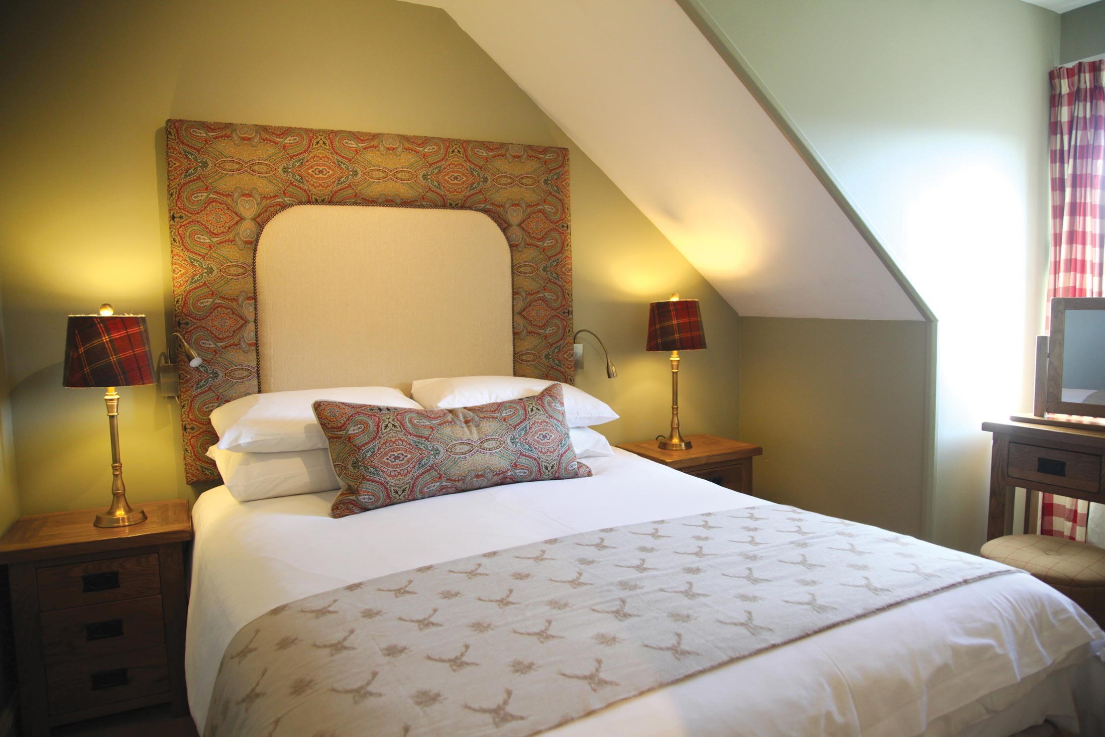
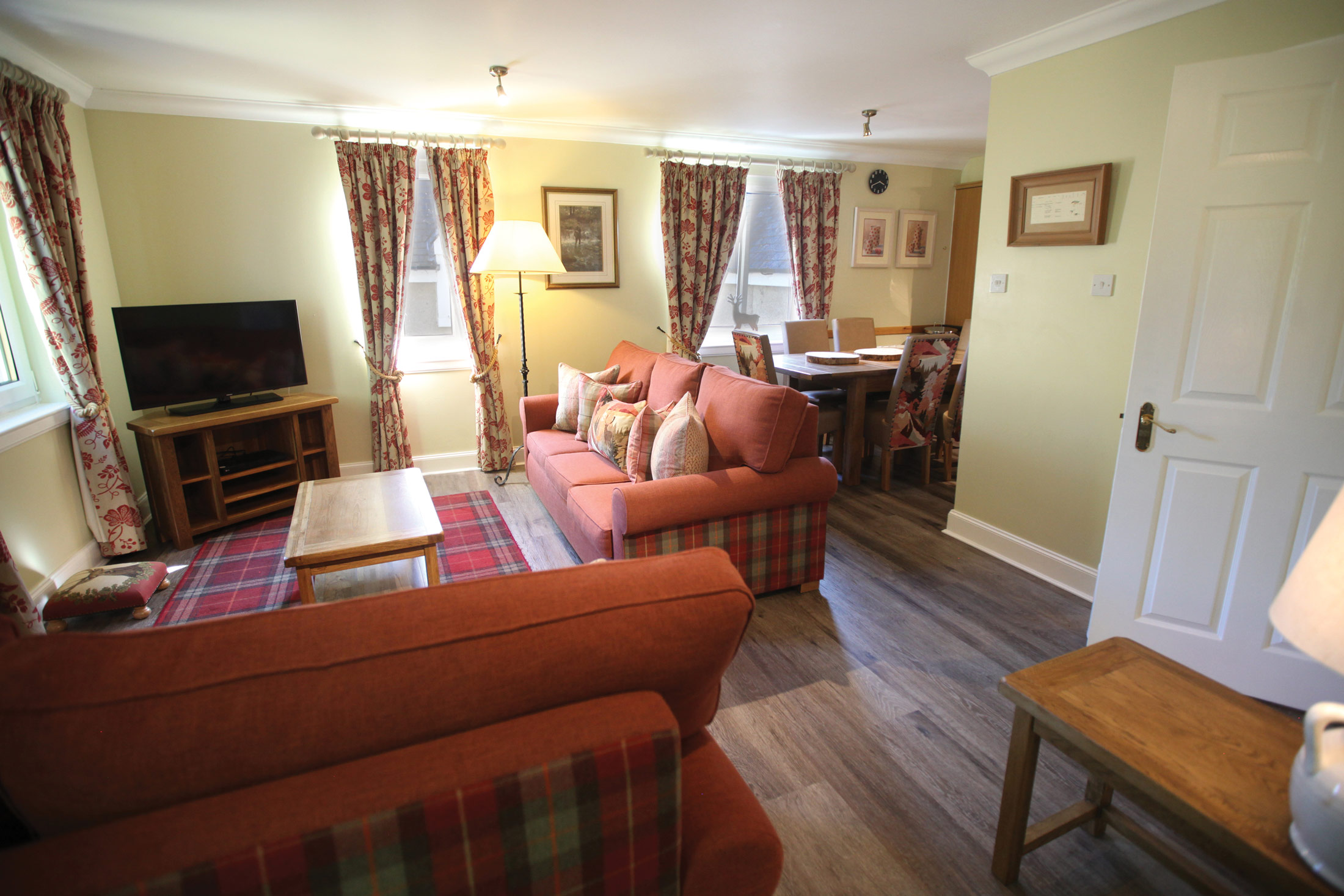
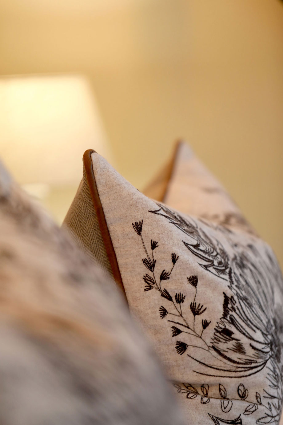
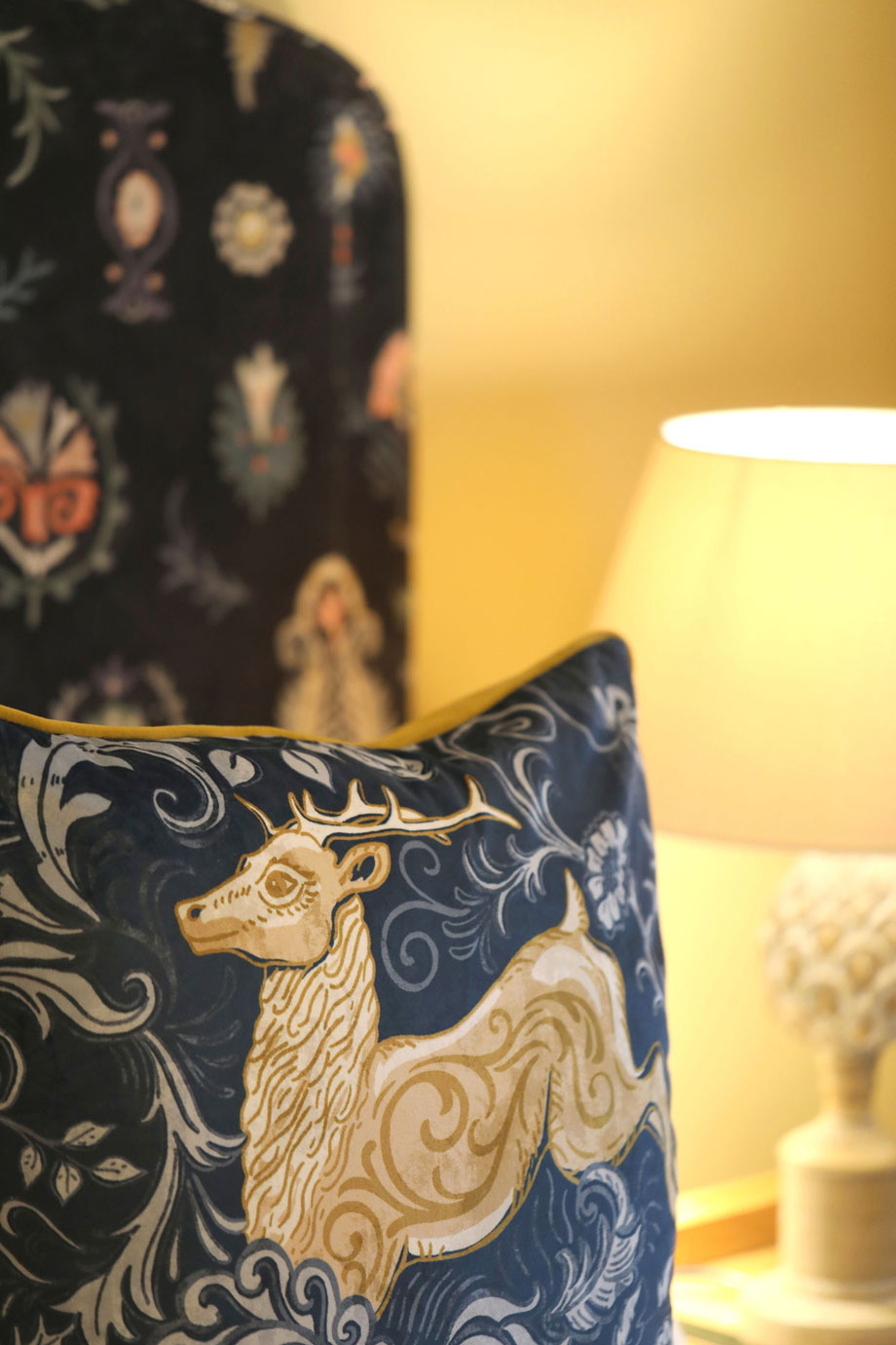
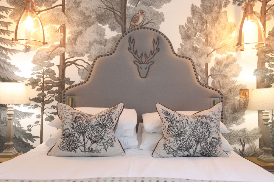
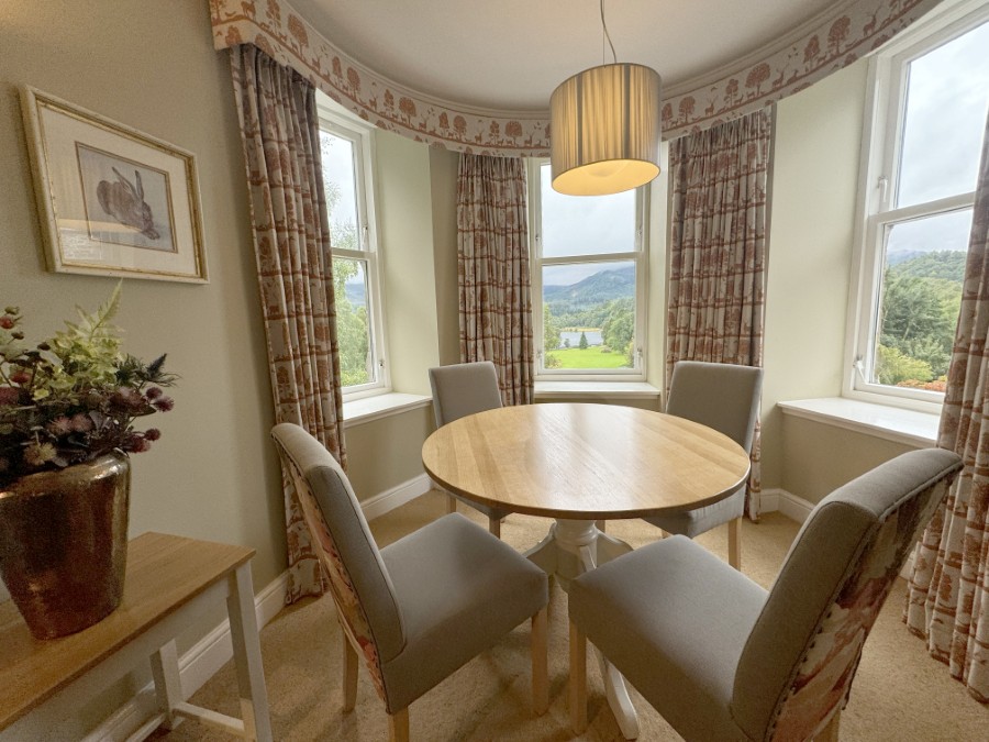
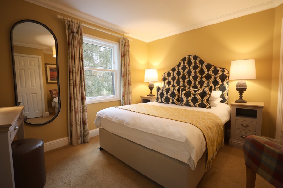
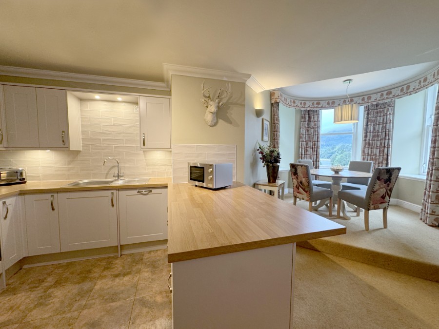
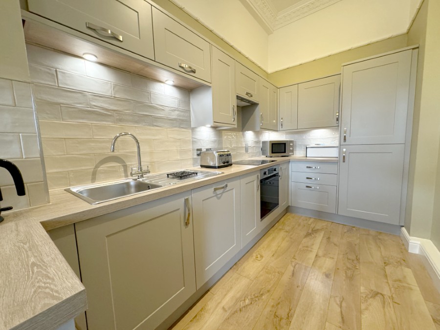
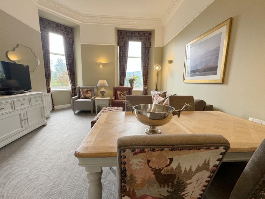
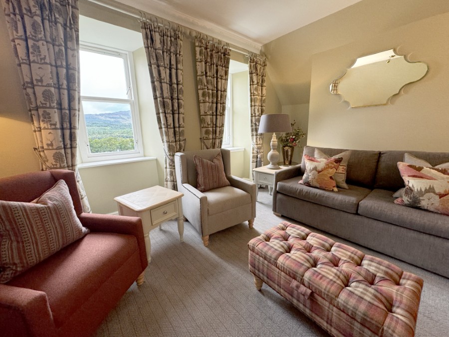
Wild and untamed the Trossachs may be; but in no sense will you be roughing it. The properties are beautifully furnished and well equipped, while communal on-site facilities include a heated indoor swimming pool, tennis courts, a games room, and even your own private fishing pond.
Queen Victoria found Tigh Mor much to her liking. So, reputedly, did the Beatles. And now, so can you.
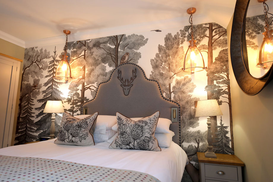
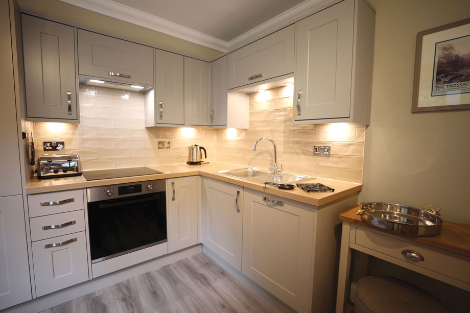
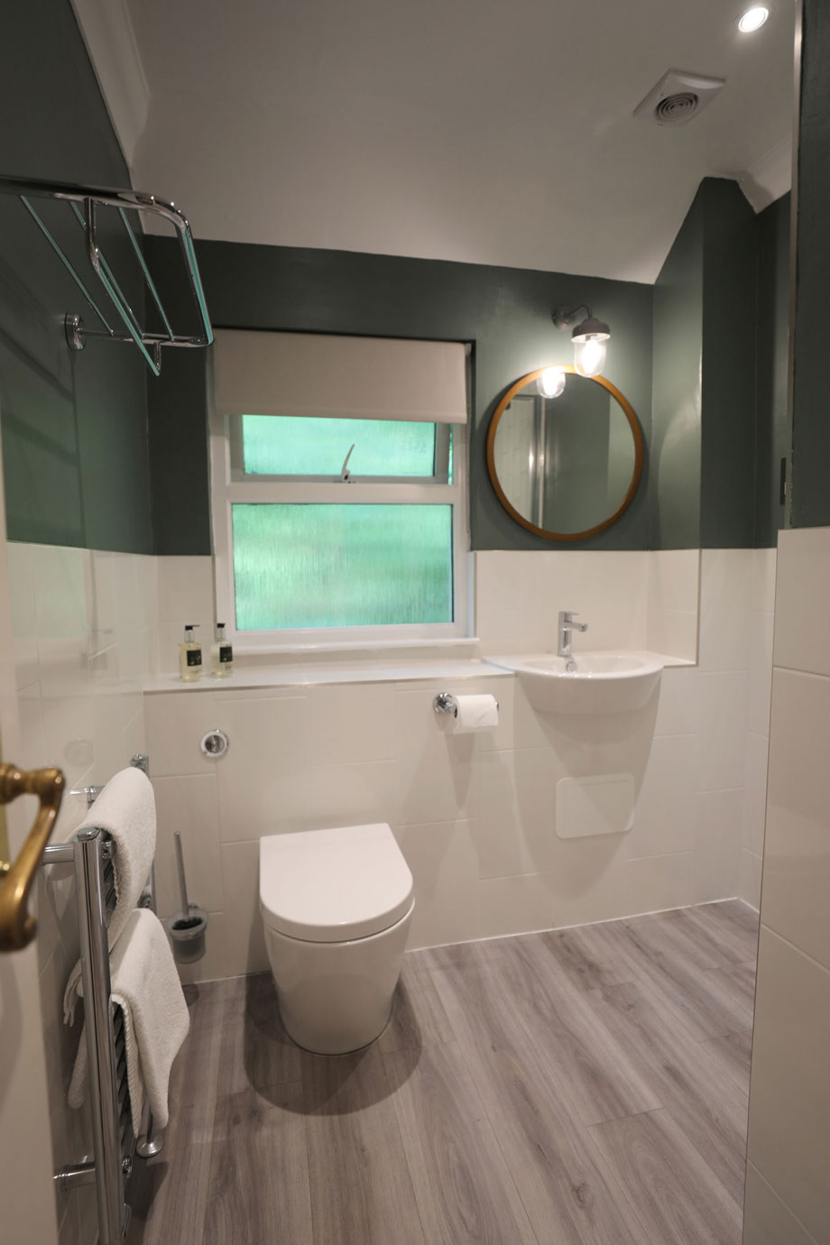
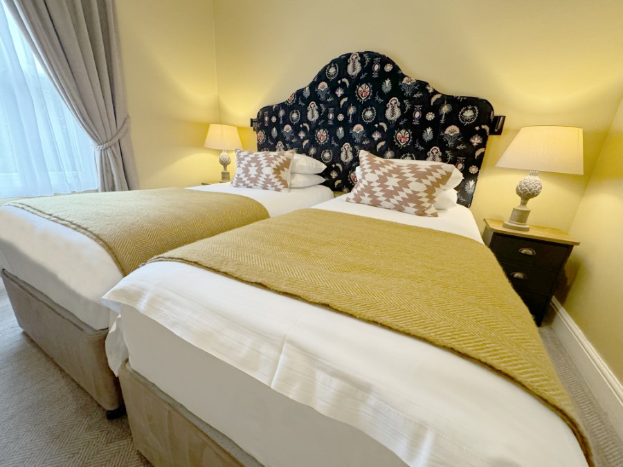
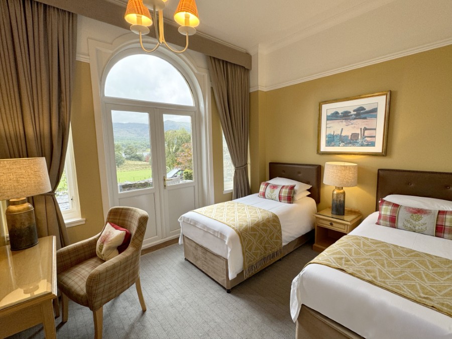
Properties in Trossachs
It can be difficult to capture the beauty of a property as magnificent as Tigh Mor , but we hope the images below will give you some idea of the splendour of the building, grounds and surrounding views. You can also check some historic images in our Trossachs Hotel history post.
You’ll feel as if you’ve been transported to another time or even world when you’re here looking out at the expanse of Loch Achray. While you won’t spot any dragons, expect to see eagles swooping across the glorious skyline.
The inside of Tigh Mor is equally stunning, we think you’ll agree – our heated swimming pool is as grand as it is relaxing, and the games room, equipped with tennis and pool tables, is bound to keep the whole family entertained for hours on end. Time for another quick trip to the sauna while they’re distracted, then?


Location
HPB Tigh Mor Trossachs
Brig o’ Turk
Callander
Perthshire
Scotland
FK17 8HY
Tel: +44 800 230 0391
Email: details@hpb.co.uk
Stirling is located near the centre of Scotland.
The area is steeped in Scottish history, legend and myth, from the Romans to the Celts. It’s often called the “Gateway to the Highlands” because of its strategic position between the Scottish Lowlands and Highlands. Meanwhile, neighbour Perthshire is known as the “big country”, a reflection of its physical area as well as the diversity of towns and countryside.
The Trossachs, with its mountains, beautiful glens and fabulous landscapes, has been attracting visitors for centuries. It is a region of fascinating history and legend, from the mythical giant Fingal to the notorious outlaw Rob Roy McGregor.
Queen Victoria found Tigh Mor much to her liking. So, reputedly, did the Beatles. And now, so can you.
Things to do in Trossachs
Nearby Perth, less than 30 minutes east, has plenty to do, from shopping to evening entertainment.
Catch a film at the Perth Playhouse, an art deco cinema that opened in 1933. It took only nine weeks to build and despite alterations in the 1970s and 1980s, it still has many of its original art deco features.
Learn about life in Perthshire throughout the ages at the Perth Museum and Art Gallery. Its fascinating permanent showcase chart the area’s natural and social history, while its changing showcase draw on the museum’s art, archaeology, human and natural history collections.

Walks around Tigh Mor
Fresh air, beautiful scenery, incredible views and a whole wealth of wildlife.
What could be better for a walking holiday?
Tigh Mor can boast some of the best walking areas around. The Trossachs National Park is characterised by its picturesque lochs, lush greenery and dramatic mountain ranges. There’s a walking route here for everyone, no matter your ability.
In a stunning location overlooking the Loch Achray, and bordered by the majestic Ben Venue, Tigh Mor Trossachs sits in the heart of the Trossachs National Park. From here you have access to wide swathes of upland moorland or low, hidden glens. You’ll be able to discover lakeside paths, forest trails and mountainous hikes. Take a look at some of the excellent walks you can try nearby.
Having a Private Tour at an HPB holiday location is an enjoyable way to see the high standards of furnishings and facilities you could enjoy with HPB.
A local HPB Representative will show you around the site and answer any questions you may have.
Alternatively, you are welcome to book a Personal Presentation at a hotel near you. You can chat to one of our local HPB Representatives, ask your questions and view the complete portfolio of HPB locations.
Read our HPB Feefo Reviews
HPB’s holiday booking service has been rated 4.9 out of 5 based on 14,772 customer reviews on Feefo
![]()
“The holiday of a lifetime – or a lifetime of holidays? We’re glad we chose the latter!”
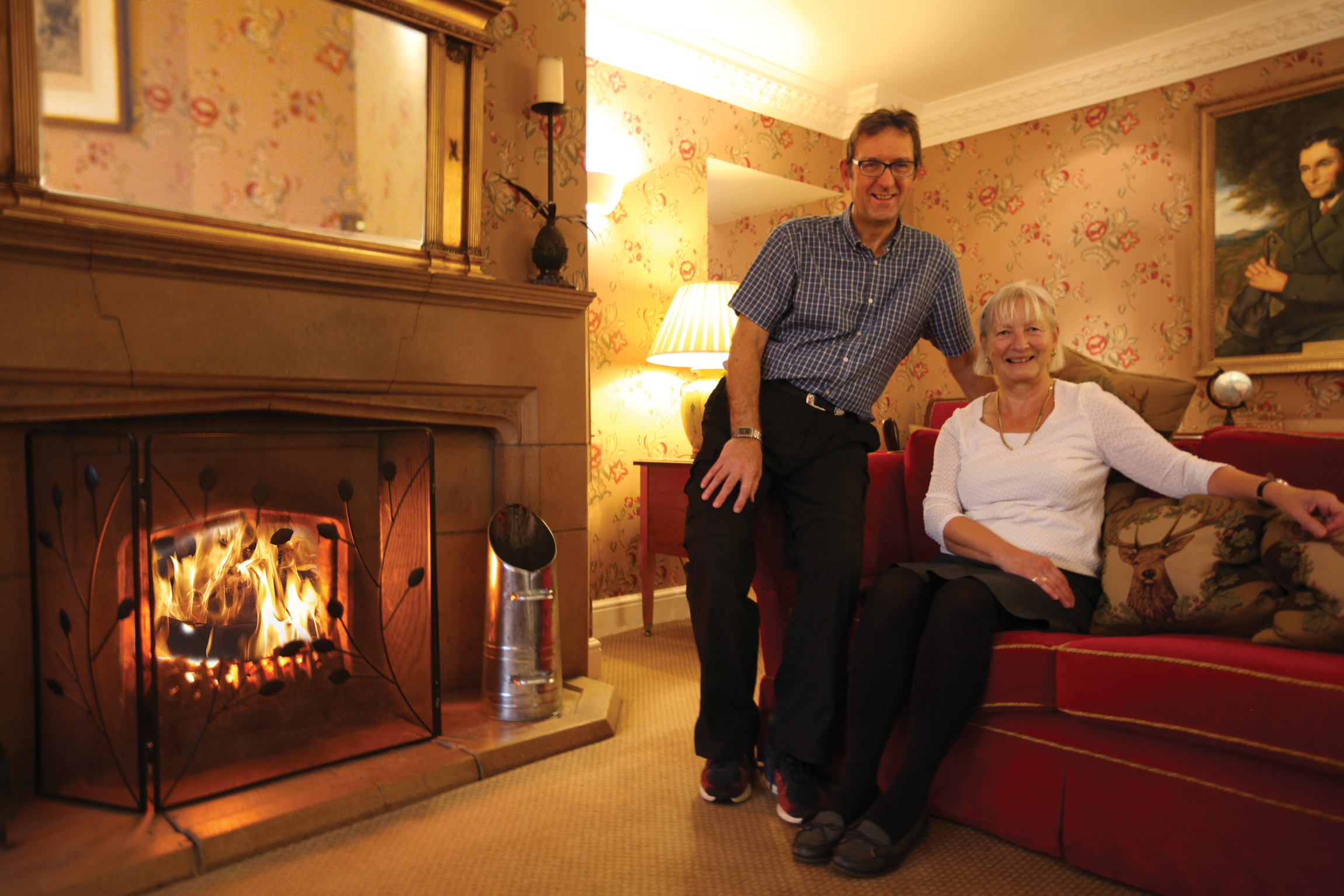
Norman and Liz WrightA little while ago, Norman and Liz Wright faced the nicest of dilemmas. “We had a bit of a financial windfall,” says Norman, “and were wondering what to do with it. “The money was enough to pay for a one-off, once-in-a-lifetime holiday – and I won’t deny, we thought about it. But we were aware of the Holiday Property Bond; some close friends of ours had invested many years ago, and had nothing but good things to say about HPB”… Liz and Norman became Bondholders in May 2017, and took their first HPB holiday the following October – to Tigh Mor Trossachs, the Bond’s Perthshire home, and a jewel in the HPB crown.
“I think we chose well,” laughs Liz. “What a place! That amazing, turreted edifice, looking like a fairytale castle, and its location, just take your breath away.”