


-
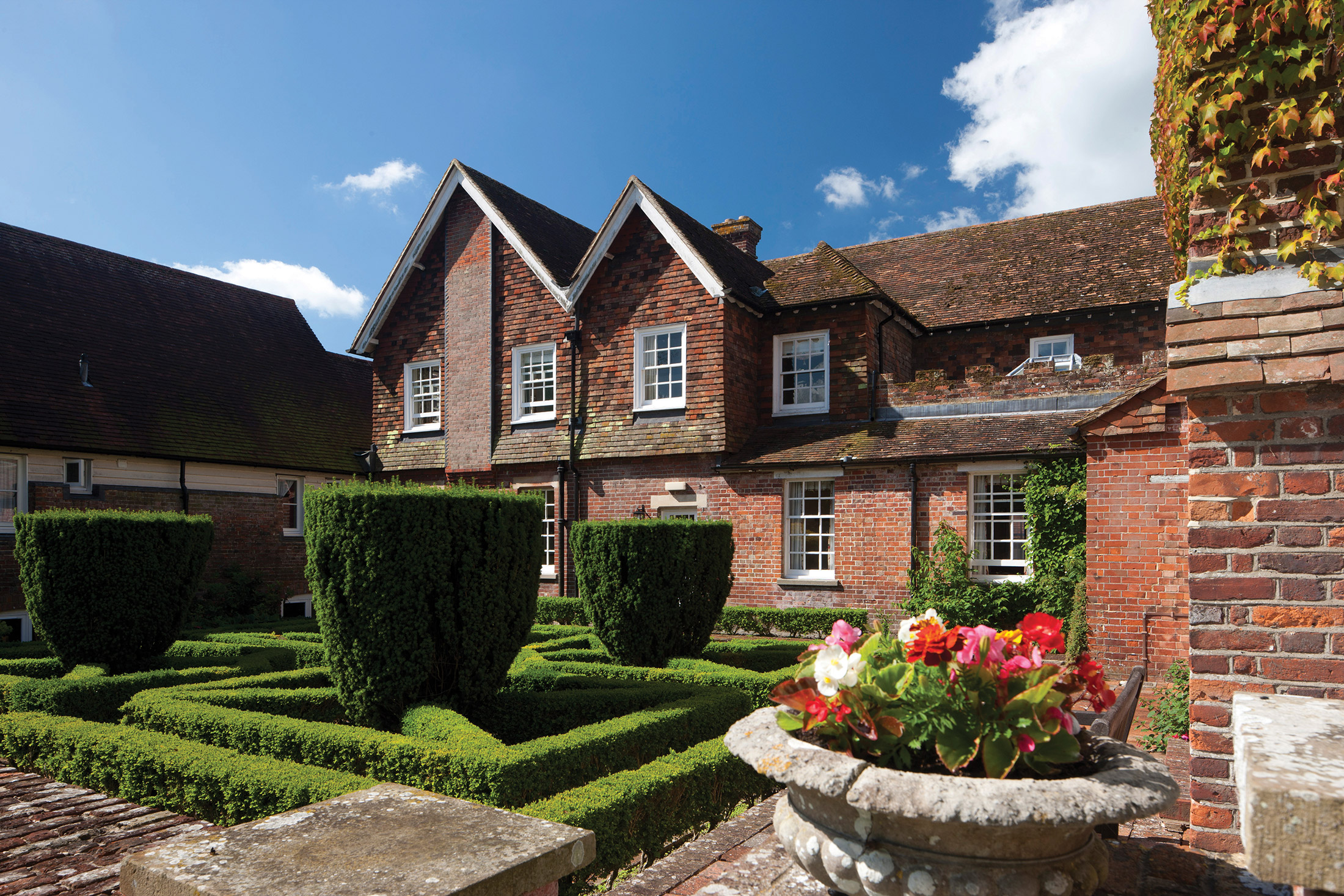
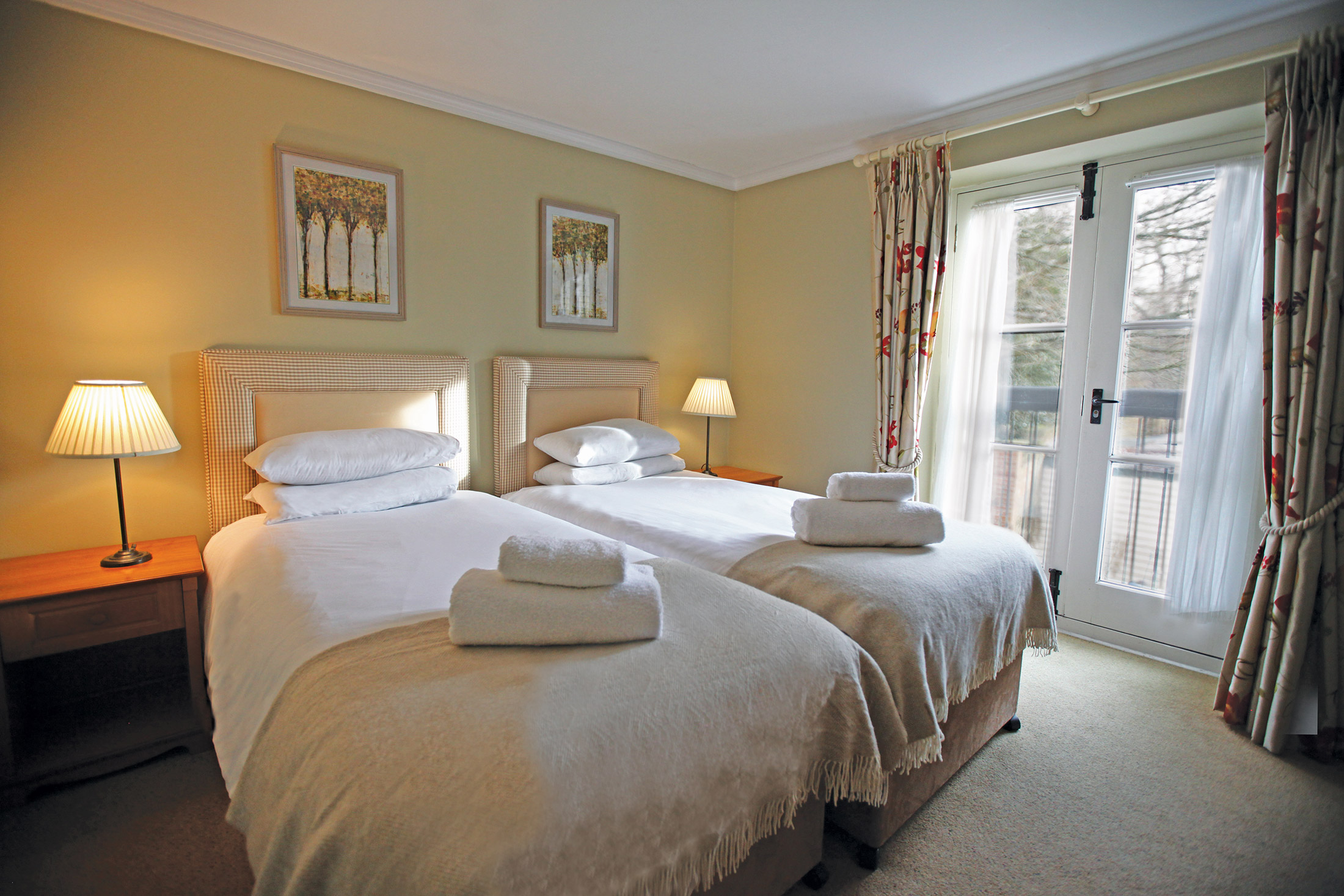
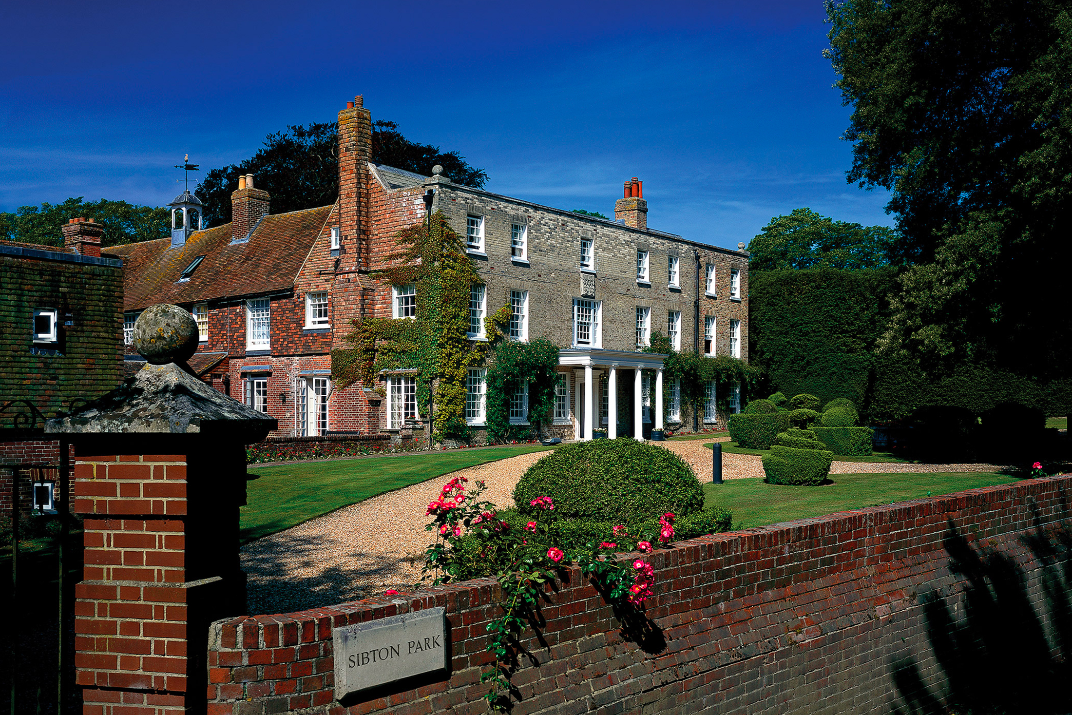
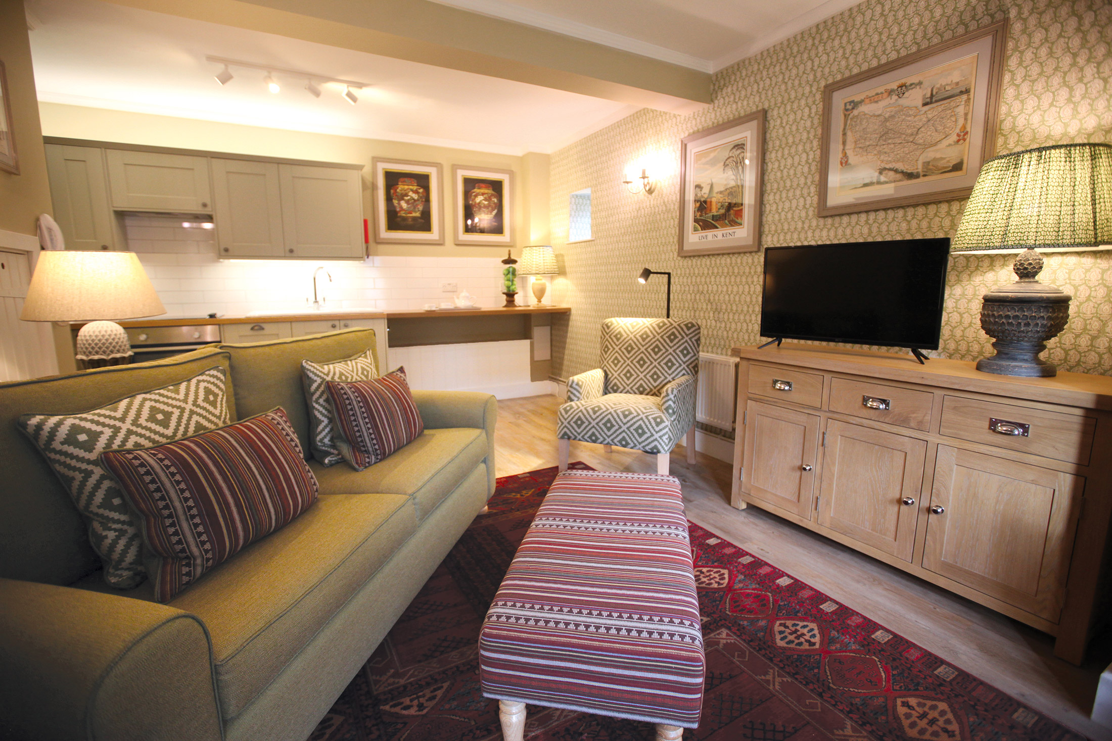
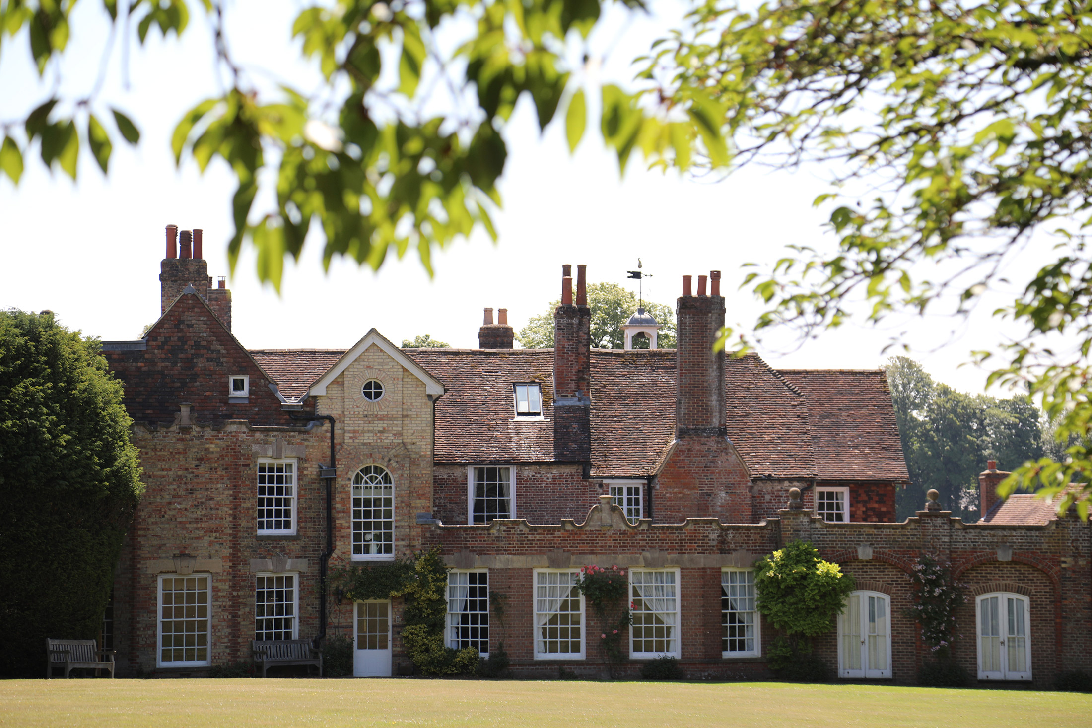
41 properties, including 13 apartments in a beautiful Kentish Grade II* manor house, with 28 cottages and studios in the surrounding grounds
-
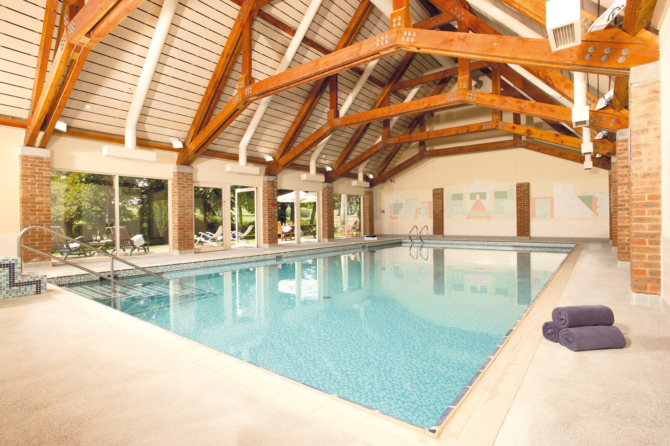
Heated pool and sauna plus clubroom
-
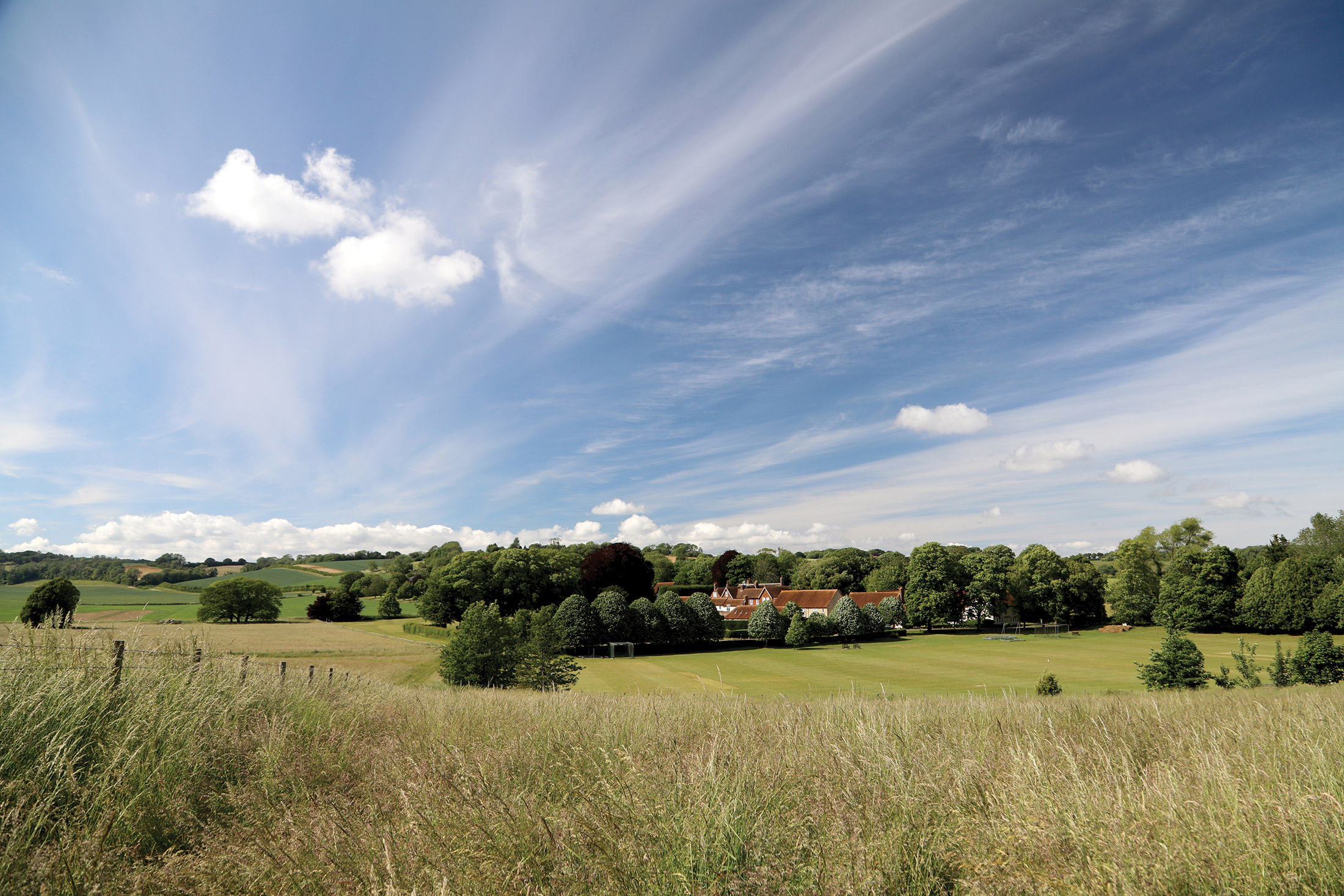
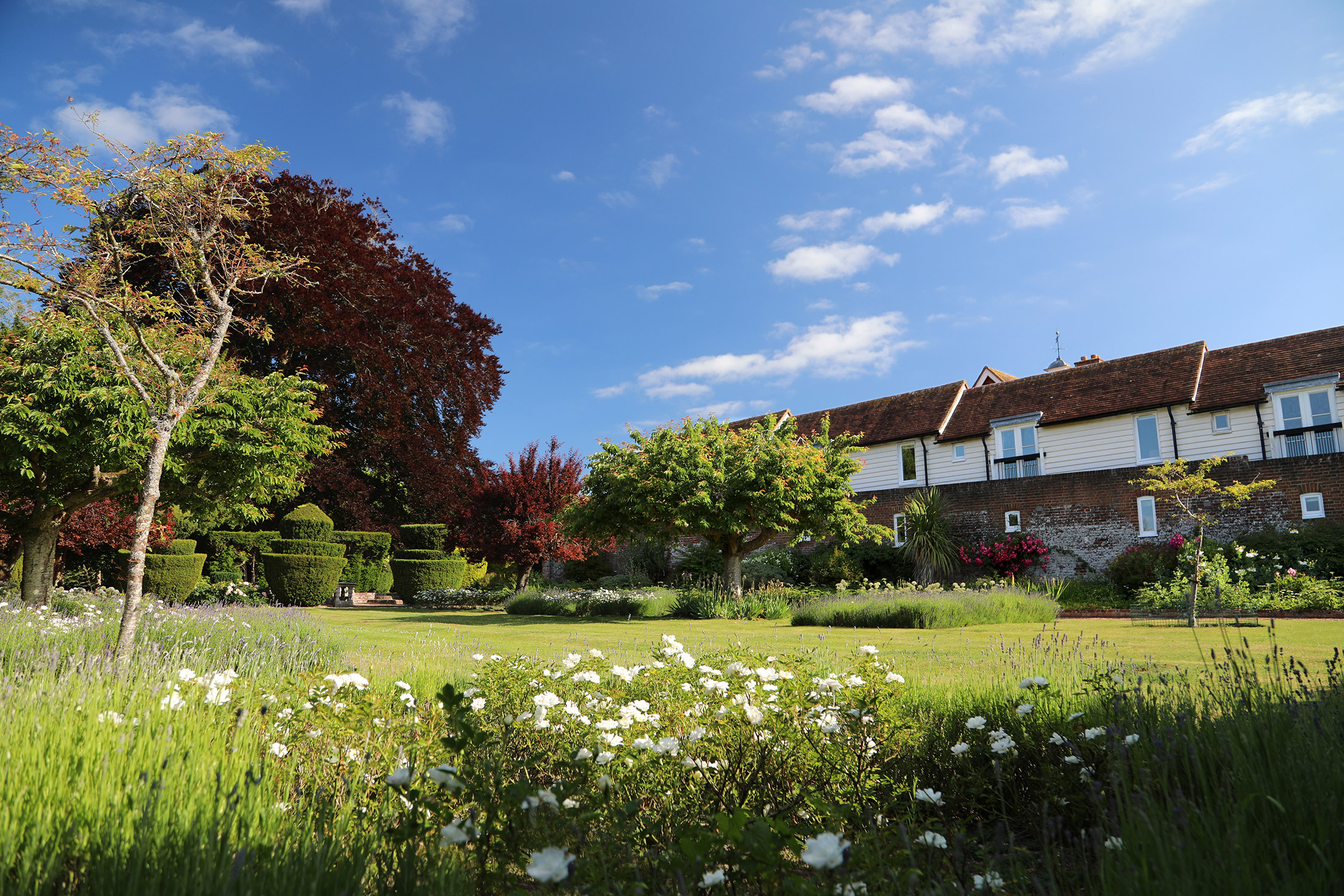
43 acres of parkland set in the heart of the peaceful North Downs
-
Easy day trips to France
-
Castles galore
-
Beautiful gardens – and the ‘Garden of England’
-
Historic cities
Discover Kent
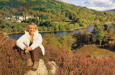
Sibton Park, a superb Grade II-listed country house now beautifully converted into comfortable modern apartments and cottages, could hardly be better situated. It is set in 43 acres of peaceful parkland in the heart of the serene North Downs, yet just four miles from the M20 and five miles from the Channel Tunnel.
The historic cities of Canterbury and Rochester – and the majestic castles of Leeds and Dover – are but a few of the sights that await visitors to Sibton Park. It is the ideal base from which to explore the ever-changing landscapes of the ‘Garden of England’: from the Romney Marsh to the High Weald; and the White Cliffs to the oast houses around Tonbridge.
Explore Kent’s historic castles
There are a number of significant castles you should attempt to visit during your stay in Kent. The most important is undoubtedly Dover Castle, which is also known as the ‘key to England’, having protected the country from invasion for more than 20 centuries. It has a fascinating history and the attraction even gives you the chance to go back in time – head to the Great Tower to see costumed actors play out the roles of King Henry II’s court.
Learn more about Anne Boleyn and her ill-fated relationship with Henry VIII at Hever Castle, which was once her childhood home. Rochester Castle, a well-preserved Norman keep, is also worth exploring. Leeds Castle, however, is arguably the most beautiful, and is indeed described as the ‘loveliest castle in the world’. It’s situated in the middle of a lake and is surrounded by 500 acres of parkland.
Visit Canterbury’s stunning cathedral
One of England’s oldest cities, Canterbury is both attractive and fascinating. It has World Heritage status, thanks to the presence of Canterbury Cathedral, St Martin’s Church and St Augustine’s Abbey. Venture inside the cathedral to see an 11th-century Romanesque crypt, 14th-century perpendicular nave and 12th-century early Gothic quire.
Spend the day at Dartford’s Bluewater
Bluewater Shopping Centre is one of the best shopping and entertainment destinations in Europe. Boasting more than 300 stores and restaurants, plus a cinema, mini arcade, soft play area and much, much more, there’s plenty here to keep the whole family happy.
Play at 91 different golf courses
While there is a nine-hole pitch and putt course at Sibton Park, keen golfers will want to sample the many championship-standard golf courses within Kent. Whether you’re looking for a real challenge or a slightly gentler course, you’re bound to find a favourite here in the county.
Enjoy one of Kent’s hundreds of walking routes
To see Kent at its best, you need to explore it on foot. Luckily, there are hundreds of walks spanning thousands of miles of footpaths. Some of the most popular include the North Downs Way, the Miner’s Cycle Trail, the Saxon Shore Way and the Skylark Trail.
Some of the walks, such as the North Downs Way, will take several days to complete, so you may want to do it in sections. All the more reason to keep coming back to Sibton Park!
Shops and restaurants
Etchinghill’s New Inn and Elham’s Rose and Crown and King’s Arms pubs and the Abbot’s Fireside Hotel are recommended for lunch and evening meals. The village store in Lyminge offers a range of local produce, including bread and milk.
On-site amenities
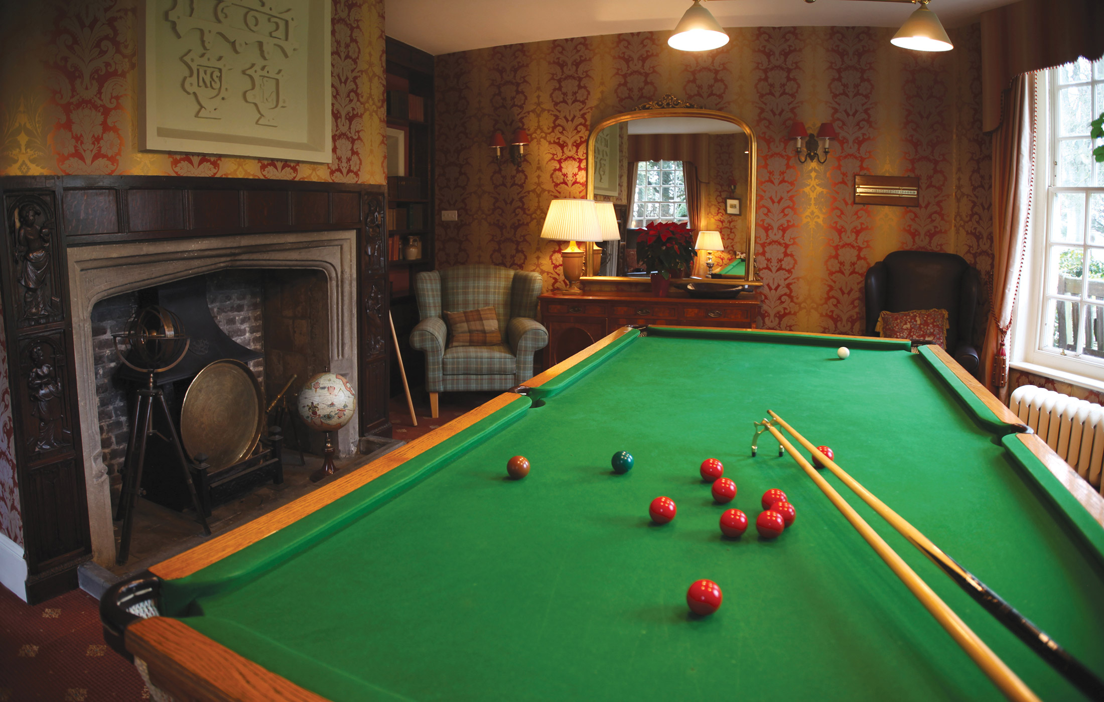
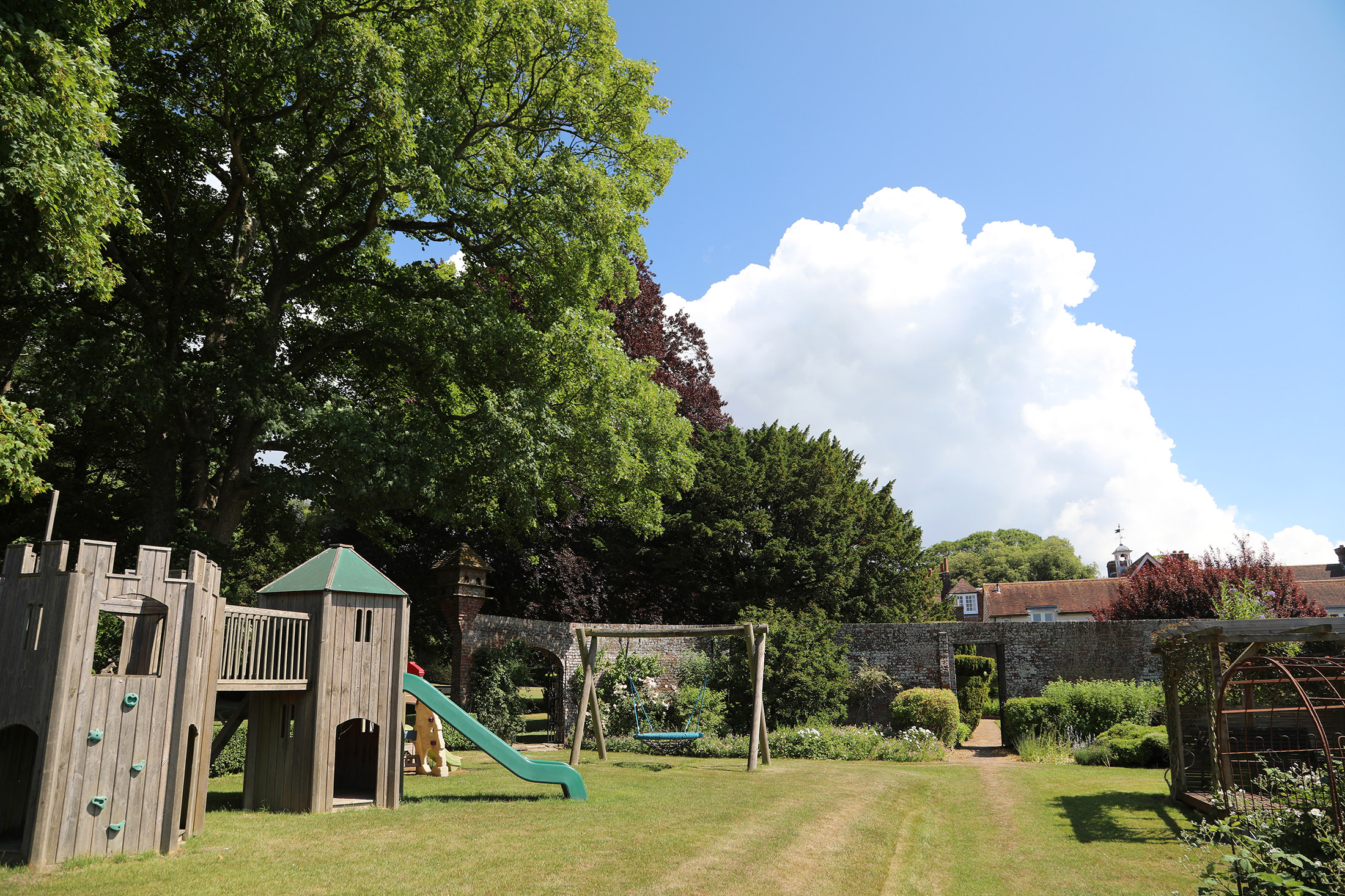
The separate leisure centre houses the heated swimming pool and sauna, as well as a clubroom with table tennis, pool and bar billiards. There are three hard-surface tennis courts, an all weather bowling green, a nine-hole pitch and putt course, and a young children’s play area including a sandpit.
A free DVD library is situated in the snooker room.
During the summer months, the adjoining cricket ground resonates with the sound of leather on willow, and the adjacent clubhouse has a bar where guests are made welcome during home matches.
With so much to see and do in the county of Kent, it may be hard to just sit back and do nothing. But in the 43 acres of peaceful surroundings at Sibton Park, you may succumb to the temptation to do just that. The site’s gardens and parkland are situated in the heart of the serene North Downs, yet still just four miles from the M20 and five miles from the Channel Tunnel. This Kent home could hardly be better situated to explore the garden of England – and beyond. With 41 properties in total, the site includes studios, cottages and 13 apartments in the grade II listed Kentish manor house.
Properties in Kent
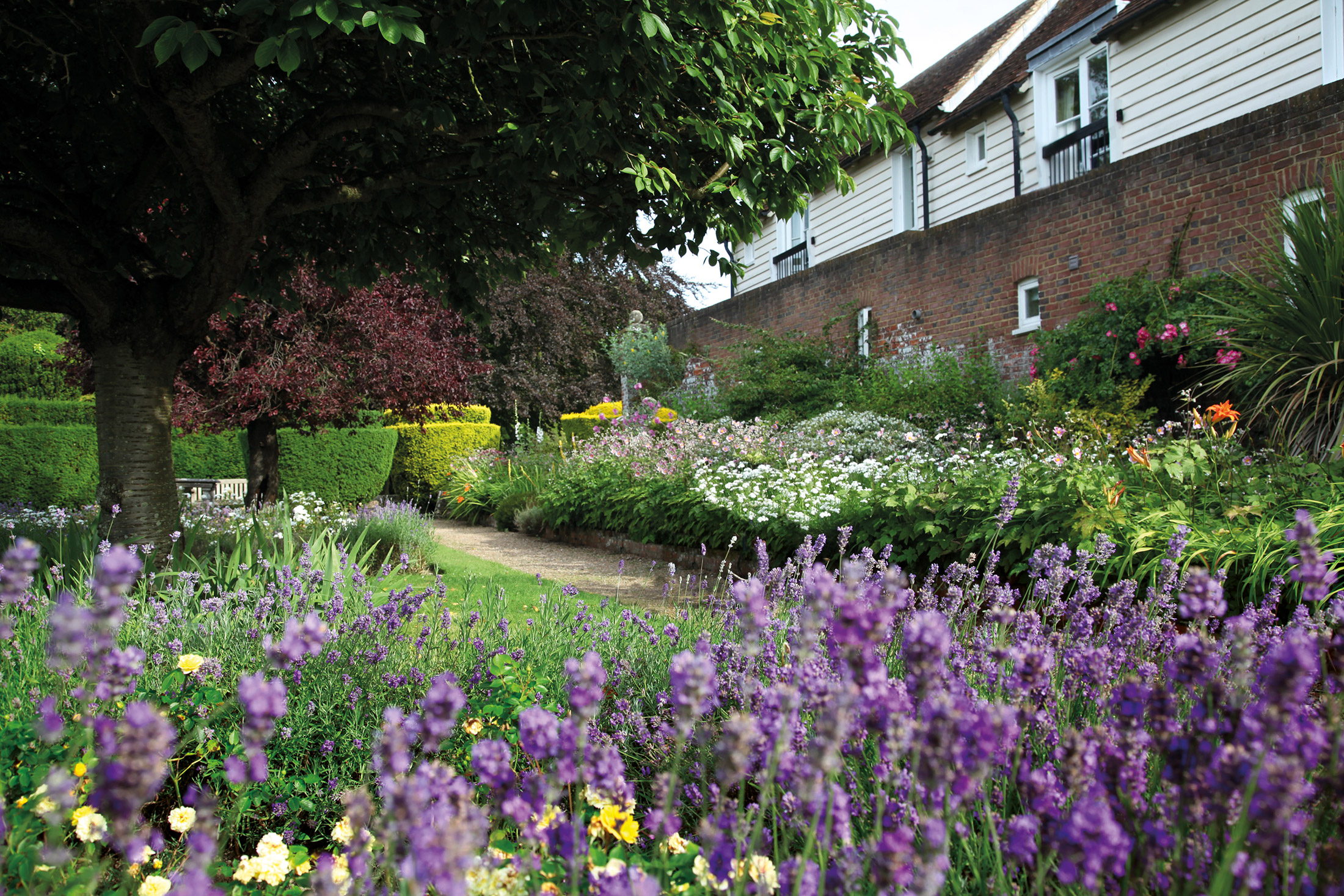
The grand Sibton Park is a real feast for the eyes. As you can see from the photos below, it’s a beautiful building, both inside and out. From the carefully manicured topiaries to the colourful flowers, everything about this country house feels peaceful and serene. It’s the perfect place to escape to.
When you’re not enjoying your modern cottage or the stunning views of the North Downs, Sibton Park has plenty to keep you and your family occupied. You could go for a swim in the heated indoor swimming pool, or a play a few games of table tennis, billiards and pool in the clubroom.
Location
HPB Sibton Park
Longage Hill
Lyminge
Kent
England
CT18 8HB
Tel: +44 800 230 0391
Email: details@hpb.co.uk
Known throughout the world as the Garden of England, Kent is steeped in history and heritage.
Discover the lanes of lavender fields, orchards, oast houses and vineyards. Visit the cities that tell the exciting story of the county, from Chaucer’s pilgrims to Dickens, from Roman invasion to World War II.
The extensive coastline boasts an enviable array of Blue Flag award-winning beaches and thrilling watersports activities.
Things to do in Kent
The area around Sibton is steeped in history and crammed with attractions, many within a 30-minute drive. For golfers, there are also several ‘pay and play’ 18-hole golf courses within easy reach.
Nearby Hythe, with its gentle slopes and wheelchair accessibility, is just 15 minutes away. Its bustling streets have all sorts of arts and crafts, antique, book and other shops. The Royal Military Canal, which weaves its way through the centre, is ideal for a stroll.
Walks around Sibton Park
Several routes included in this set of walks cross cultivated fields, albeit following legally established rights of way. Should tall crops make direct crossings impracticable, the desired locations (stile, bridges etc.) can usually be reached by walking around the field perimeter instead.
Always keep dogs under close control, especially so when crops and livestock are encountered.
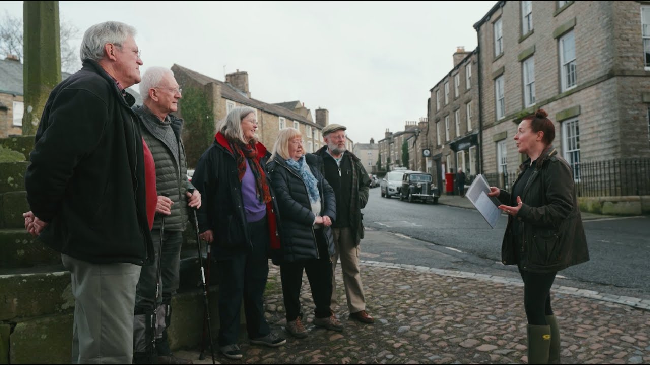
Having a Private Tour at an HPB holiday location is an enjoyable way to see the high standards of furnishings and facilities you could enjoy with HPB.
A local HPB Representative will show you around the site and answer any questions you may have.
Alternatively, you are welcome to book a Personal Presentation at a hotel near you. You can chat to one of our local HPB Representatives, ask your questions and view the complete portfolio of HPB locations.
Read our HPB Feefo Reviews
HPB’s holiday booking service has been rated 4.9 out of 5 based on 14,772 customer reviews on Feefo
![]()
“Buying into the future”
Mike DugdaleI got talking to our next-door neighbour at Barnham Broom, who’s been a Bondholder for a while; the family were full of enthusiasm and, while in no way pushy, was really keen to pass on advice and knowledge about any other sites we’re thinking of visiting. We swapped email addresses and will definitely be in touch – but it shows the strength of feeling about HPB, and the fact that there’s a real ‘family’ aspect to it.
