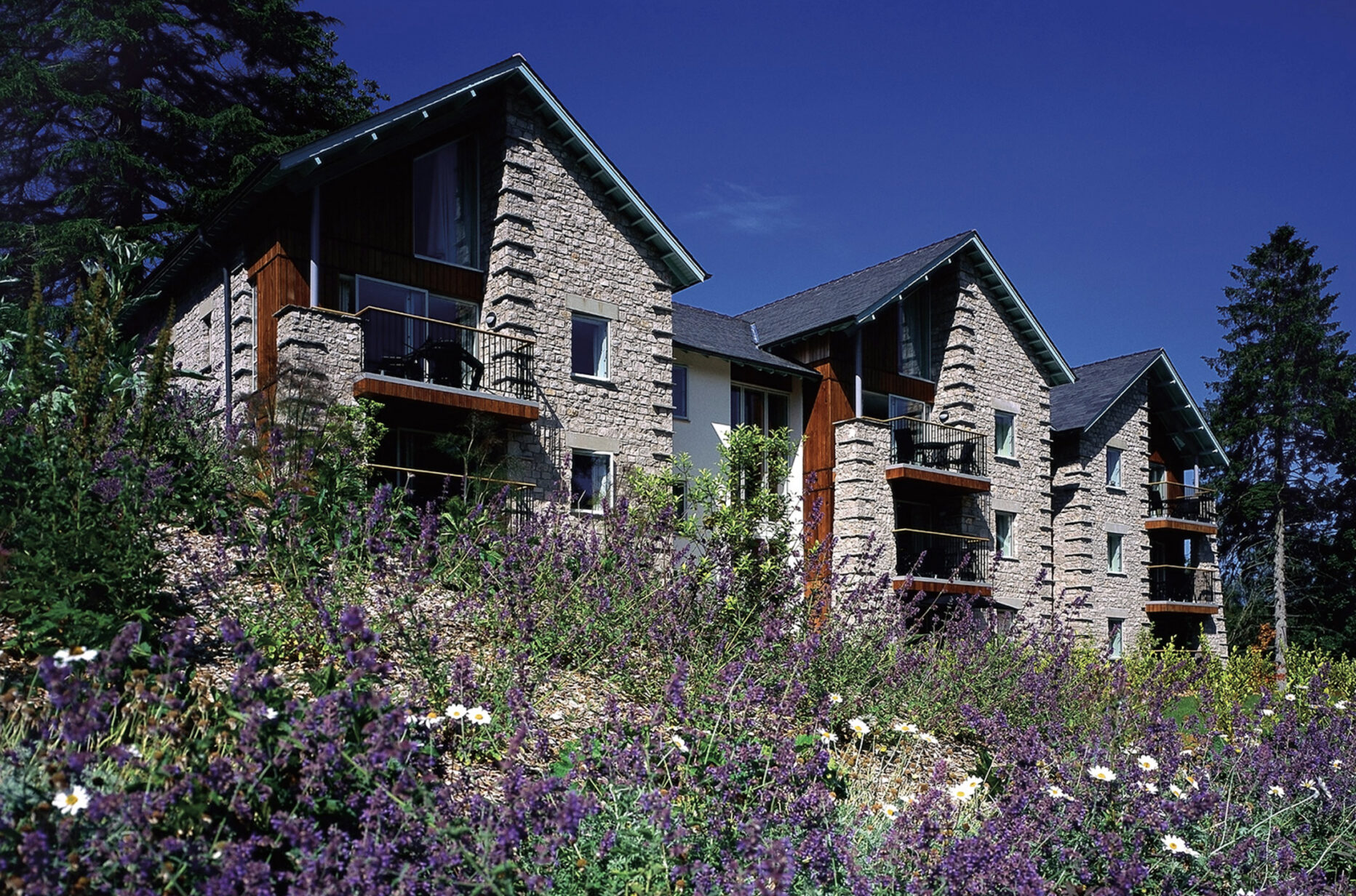
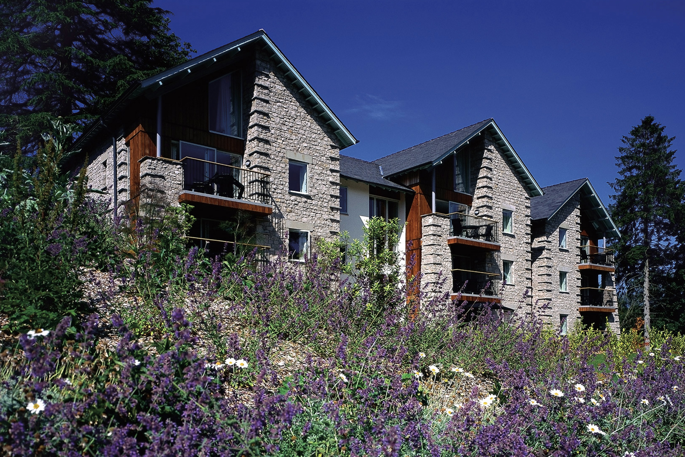
Merlewood, Cumbria, England
Superbly located overlooking Grange-over-Sands and Morecambe Bay
Book a tour Open Gallery-
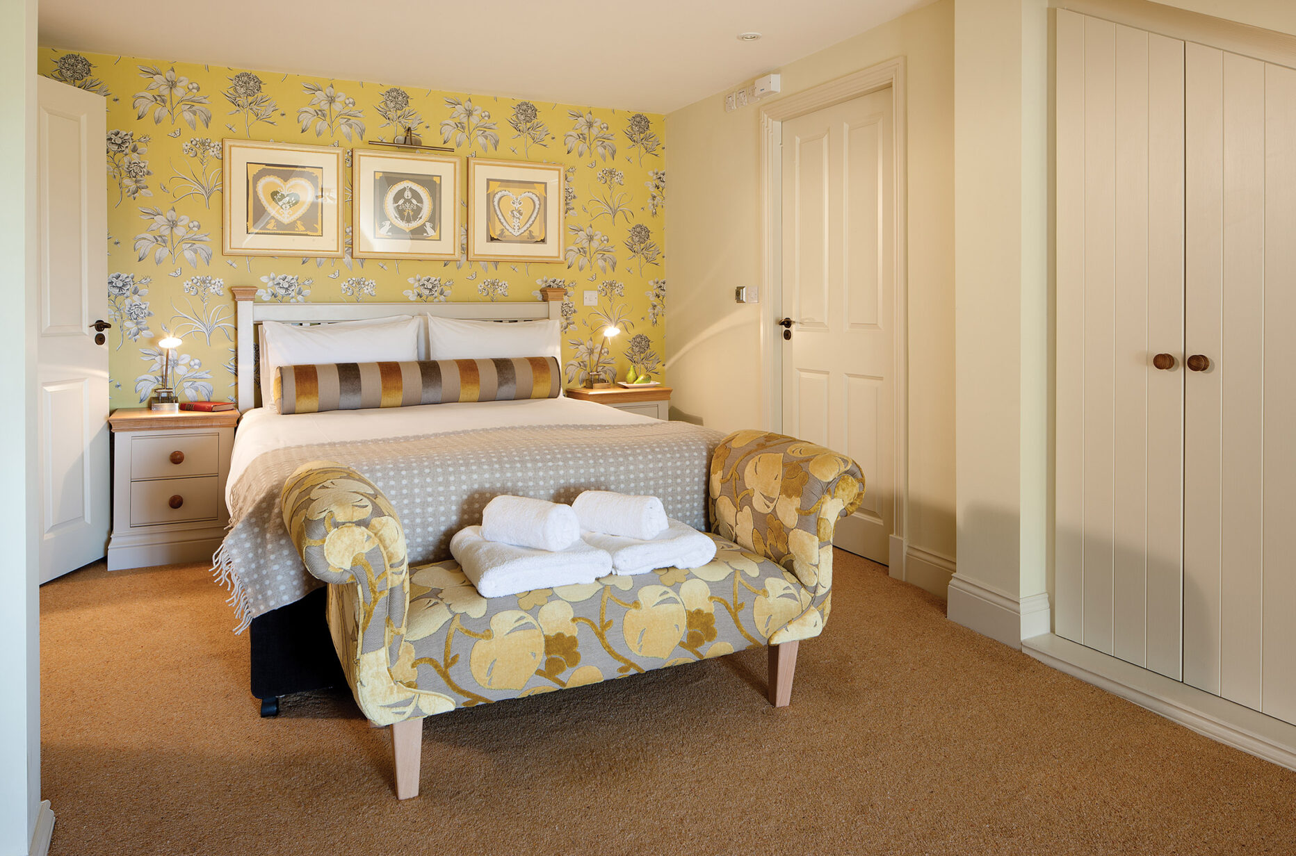
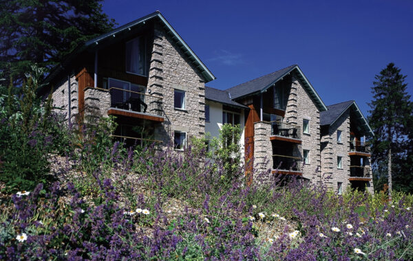
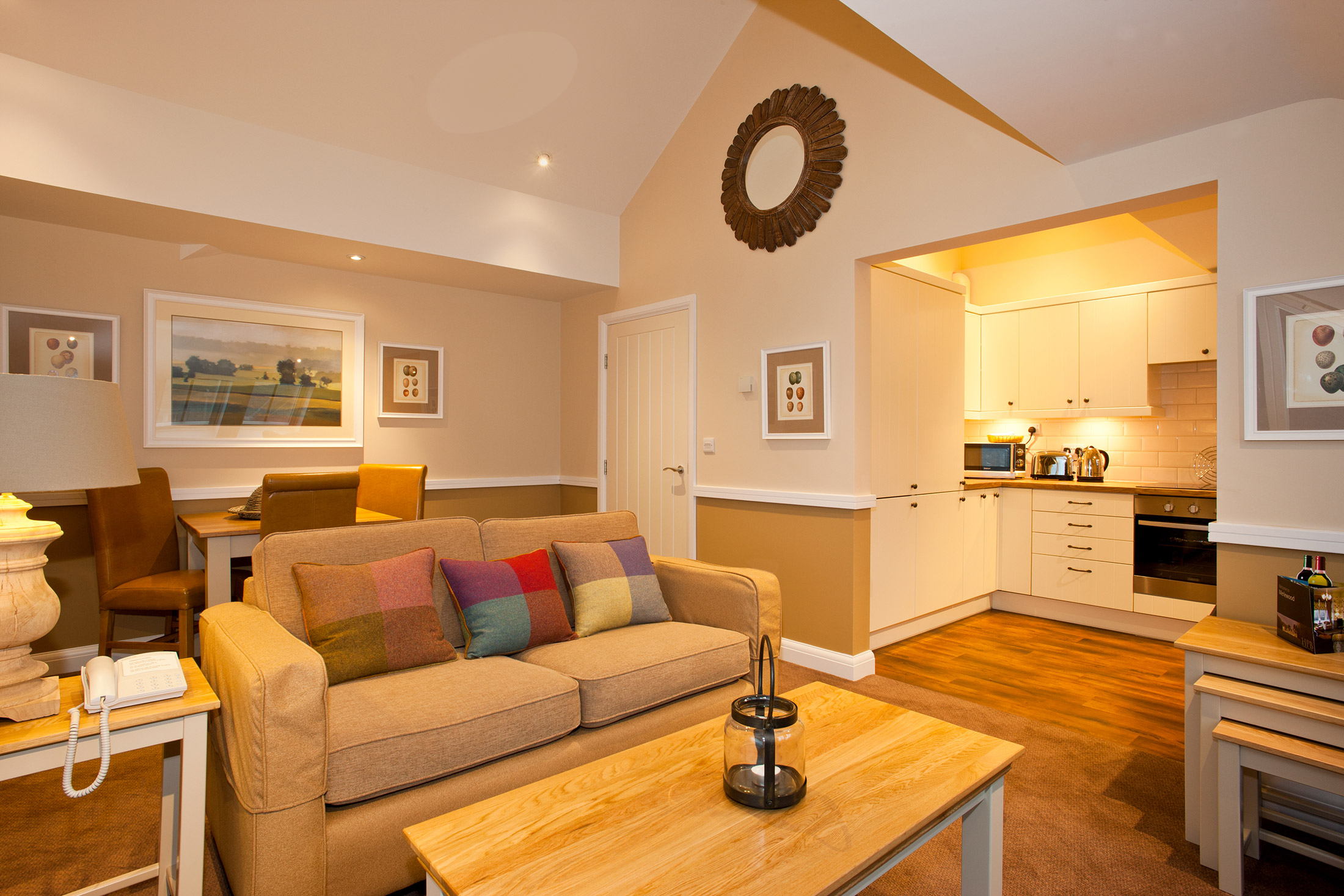
55 properties in Cumbria, from one to four bedrooms
-
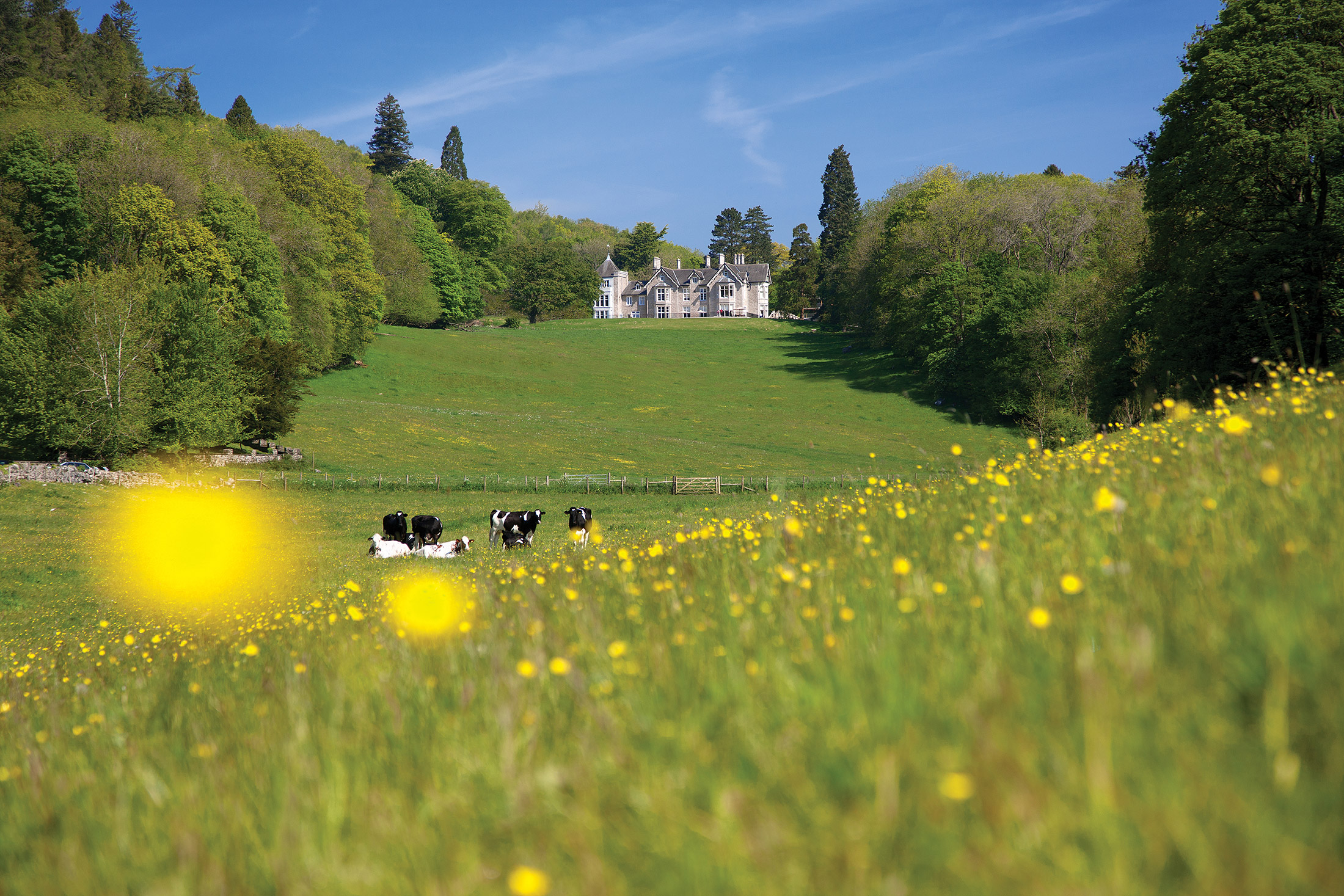
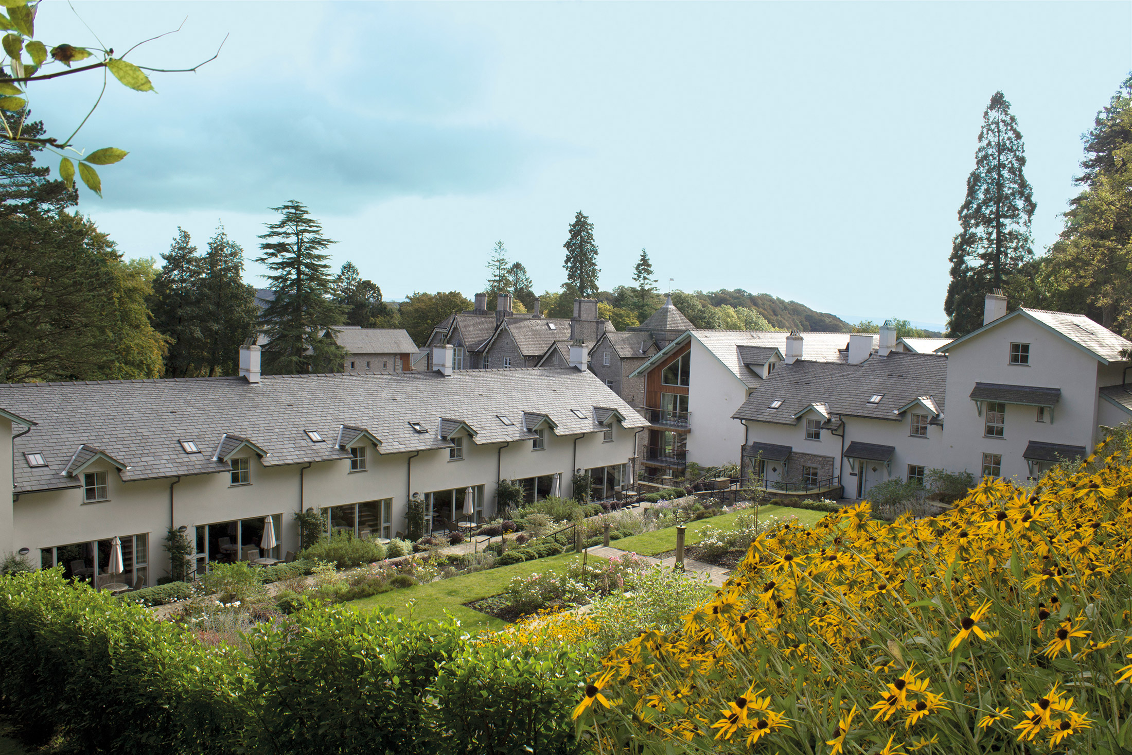
A beautifully restored Victorian mansion
-
Superbly located overlooking Grange-over-Sands and Morecambe Bay
-
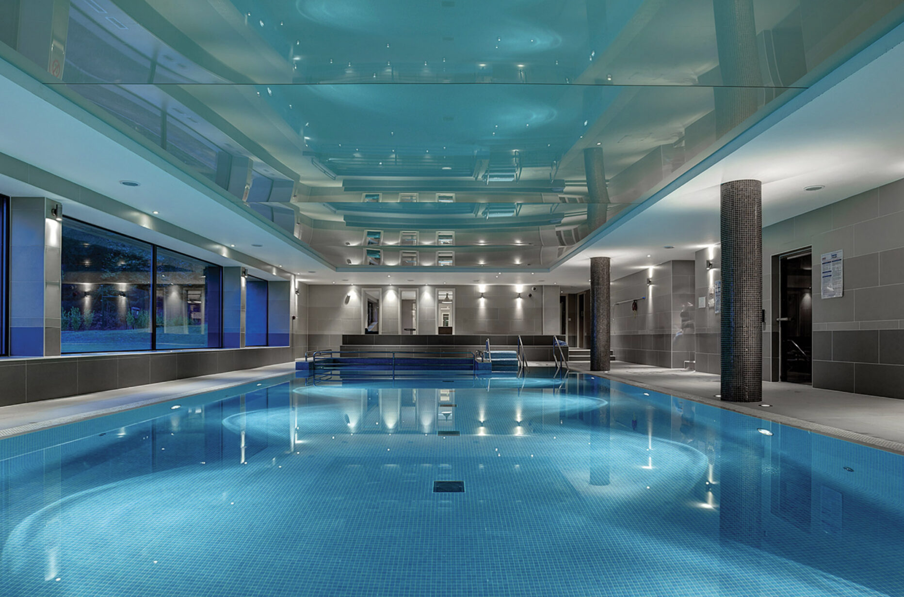
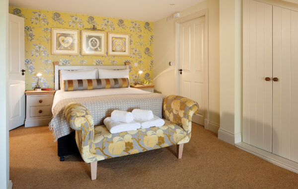
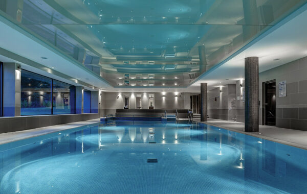
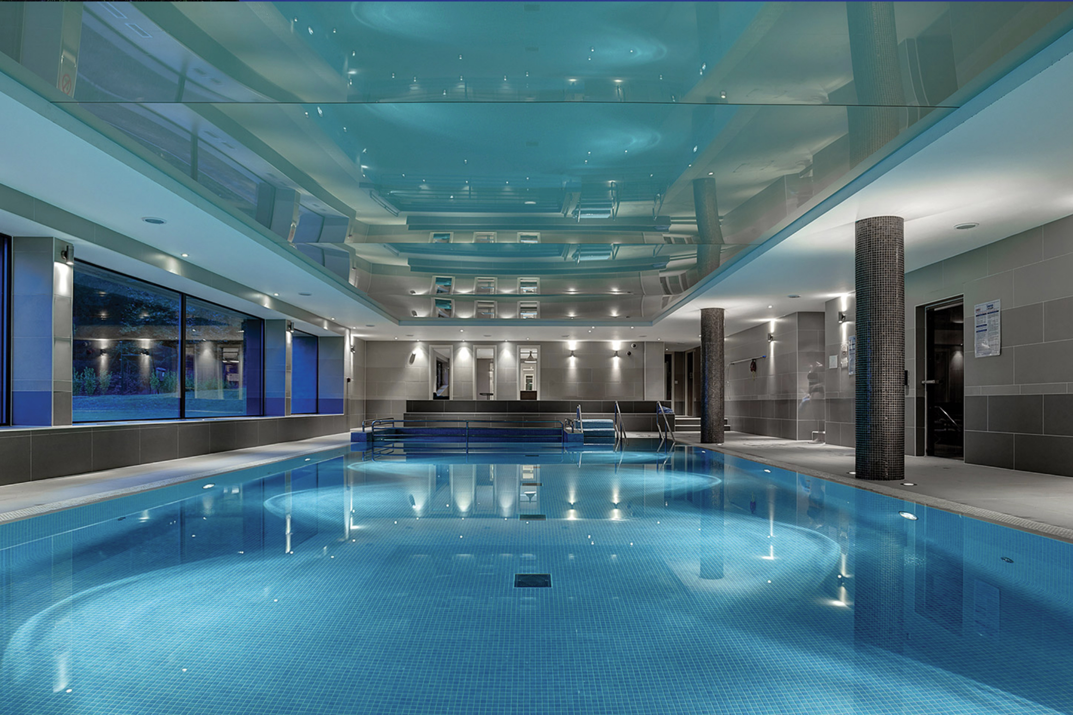
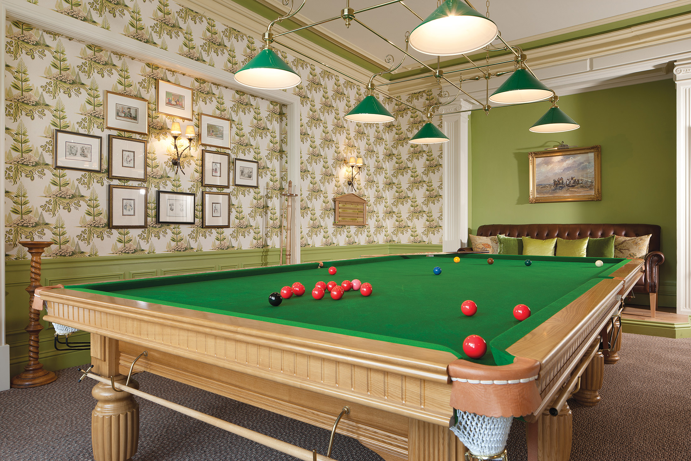
Great facilities, including indoor pool, gym and snooker room
-
Beautiful gardens
-
Glorious woodland setting
-
Easy to reach by train or car
-
Close to the Lakes and Fells
-
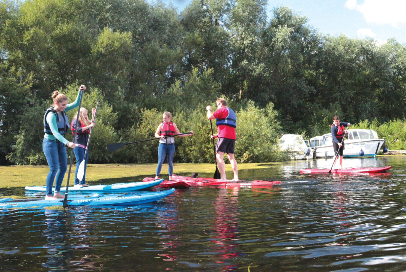
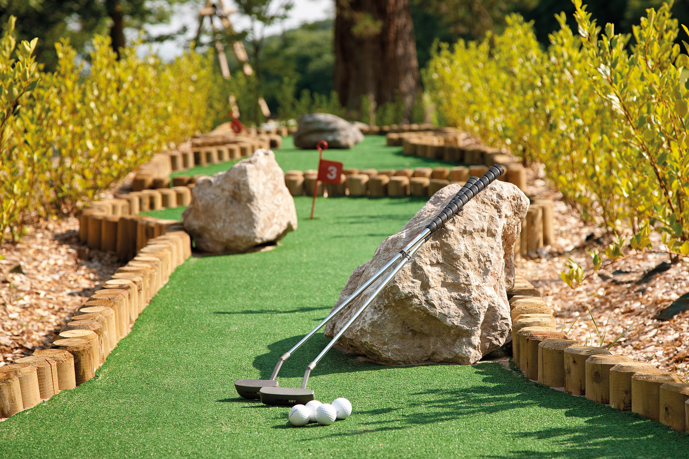
Tennis, crazy golf, a children’s play area – plenty to keep all ages busy
Discover Cumbria
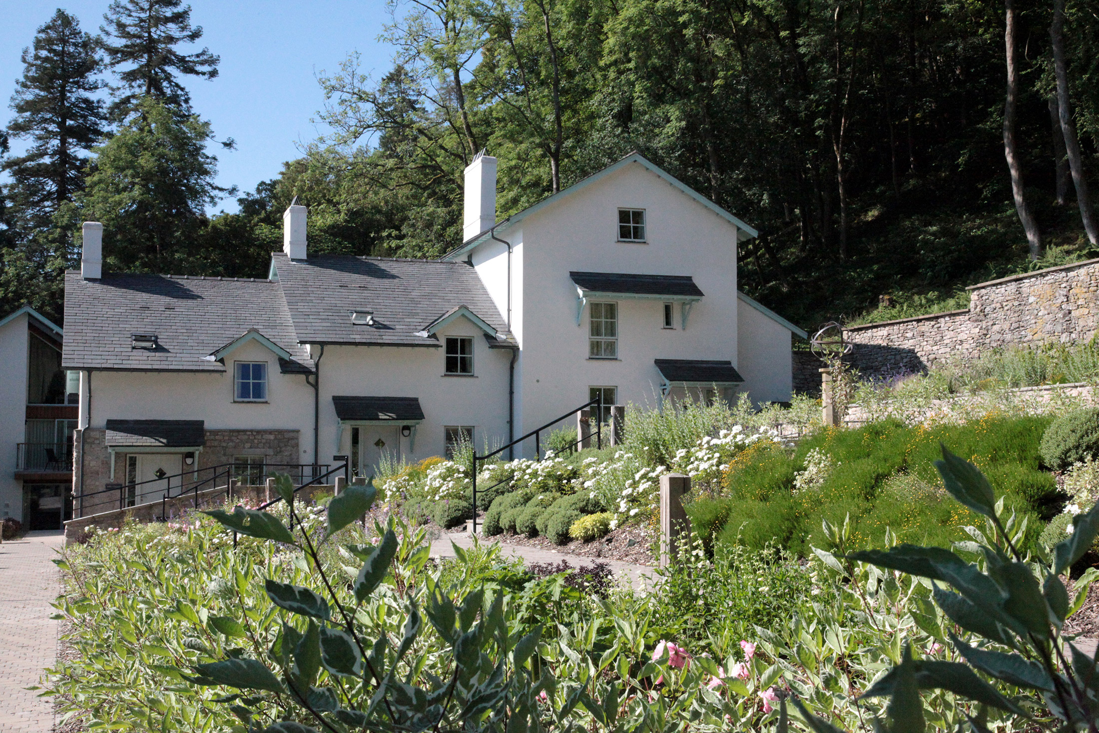
Merlewood was formerly the home of Alfred Binyon whose nephew was the poet Lawrence Binyon. Today it provides 55 wonderfully comfortable self-catering holiday cottages and apartments in beautiful and peaceful surroundings, within easy reach of the southern Lake District.
The property is in Grange-over-Sands, a seaside resort that has retained its Edwardian charm. You truly feel as if you are stepping back in time here, with its pedestrian-only promenade, popular bandstand and lovely ornamental gardens. Even the shop fronts have stayed the same!
Windermere, Coniston Water et al are easily accessible, while for the more urban-minded, the city of Lancaster – often and unjustly overlooked in the guide books – is just a half-hour drive away.
There is a selection of dog-friendly holiday homes to let, and we also welcome kids and young families. Enjoy our on-site steam room, indoor swimming pool, children’s playground and even crazy golf. There is plenty to see and do both at Merlewood and in the surrounding areas, all of which you can enjoy from the comfort of your luxury holiday property.
Relax in some beautiful gardens
On a sunny day, what could be better than walking around some well-crafted gardens? Grange Ornamental Gardens has a Victorian feel and boasts a huge range of shrubs and trees, as well as rare genii.
If you venture out as far as Windermere during your stay, you may want to visit Holehird Gardens. Within its 17 acres of land, it features a variety of natural spaces, including rock, walled and heather gardens. Plus, an alpine house and many trees and shrubs.
Try the original sticky toffee pudding
A beloved British sweet, the sticky toffee pudding was apparently invented in Cartmel in 1960. A visit to this charming village is a must, then! It’s also home to the best restaurant in the country (according to The Good Food Guide): L’Enclume.
When you’re not gorging on food, be sure to visit the 12th-century Cartmel Priory and the National Hunt racecourse (the smallest racecourse in the UK).
Keep the whole family entertained
If you’re planning to take the kids away with you, there are plenty of family attractions to keep them entertained. Fell Foot Park not only has outdoor and indoor play areas for the little ones, easy access to the lake means everyone can go for a paddle or swim, or even hop on a boat.
Ducky’s Park Farm is also great for a family day out. It has a huge outdoor play area, a selection of rides and you can get up close to a variety of farm animals.
Learn more about the local area
There are plenty of museums around Merlewood should you want to learn more about the local area. Kendal Museum is well worth a visit, just for the fact it’s the oldest in the country! Here, you can find out more about the area’s natural history.
Promising Vikings, Victorians and warships, the Dock Museum in Barrow-in-Furness is free to visit and popular with families. It even has a playground. If you prefer cars to ships, however, you may prefer the Lakeland Motor Museum in Backbarrow.
Shops and restaurants
Merlewood overlooks the Edwardian seaside town Grange-over-Sands where you’ll find a range of shops and cafes. Nearby Cartmel, home of the sticky toffee pudding, has an even larger selection of eateries with pubs and restaurants to try as well as shops to stock up from. Its restaurant L’Enclume has been rated number one in the Good Food Guide for 2014.
There is also a small shop on-site where you can grab fresh bread or pastries for a simple breakfast.
On-site amenities
Merlewood’s clubhouse contains a pool table and billiard table, a selection of games and table tennis for guests to make use of. There is also a free-of-charge book and DVD library for quieter days.
Also on site you’ll find:
- Indoor swimming pool and steam room
- Small gym/exercise room
- Tennis court
- Crazy golf
- Children’s playground
- Laundry facilities
There is free internet and WiFi access.
Guests can take part in a range of organised activities such as talks, Opera nights and wine tasting evenings.
Properties in Cumbria
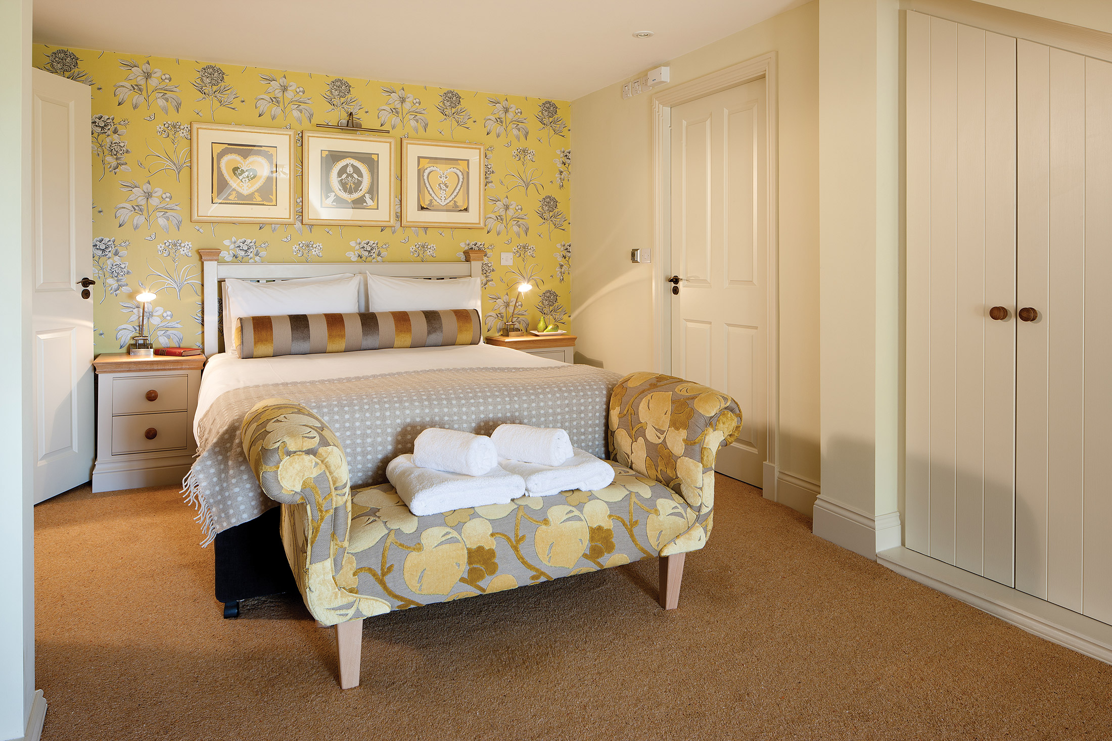
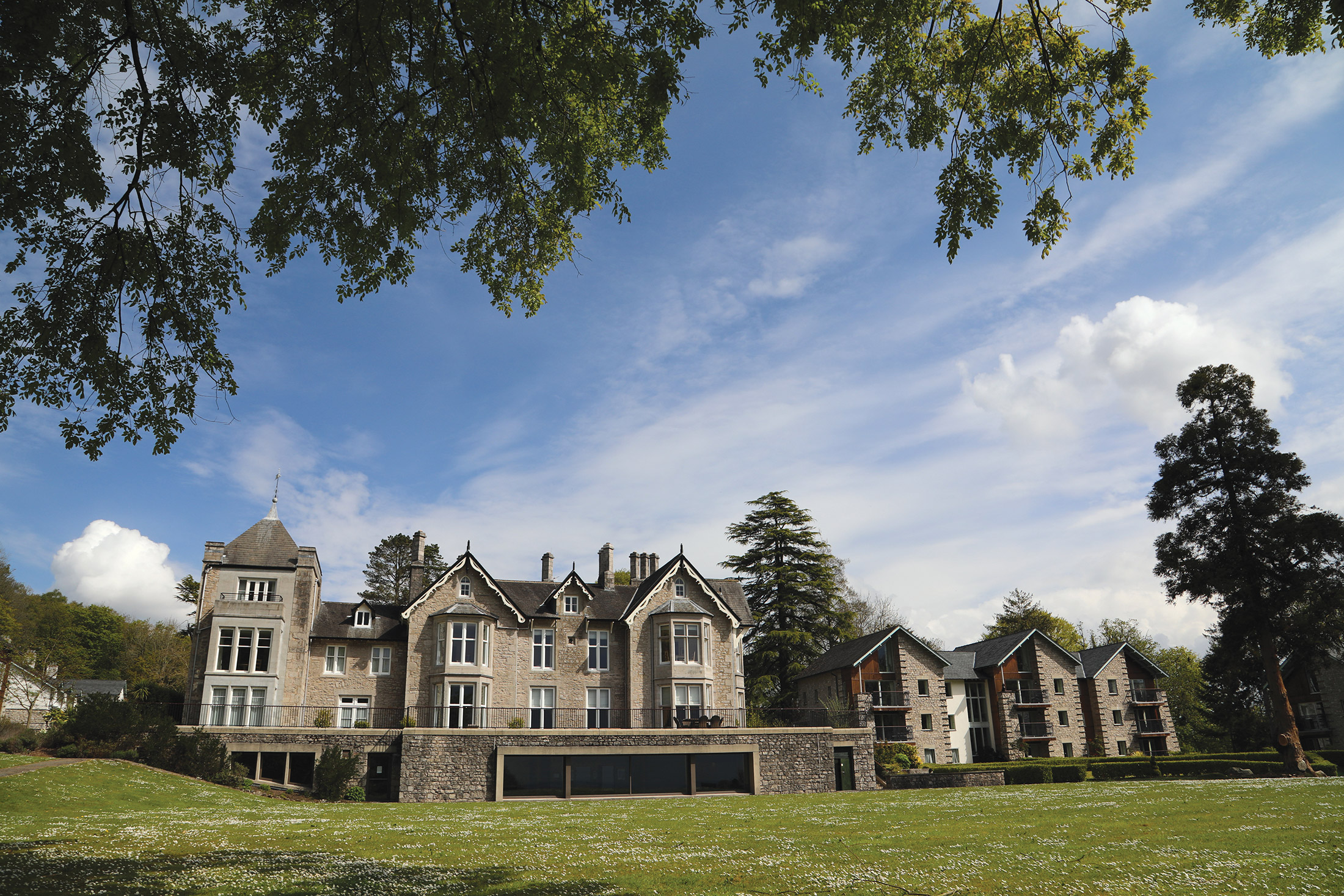
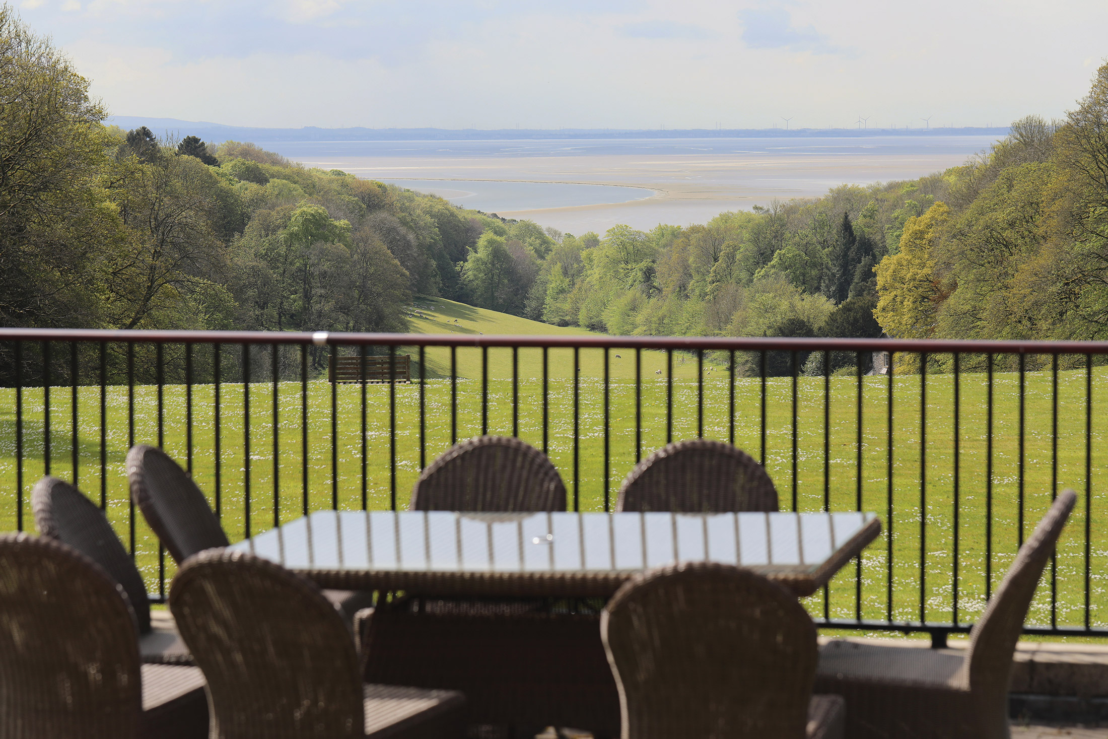
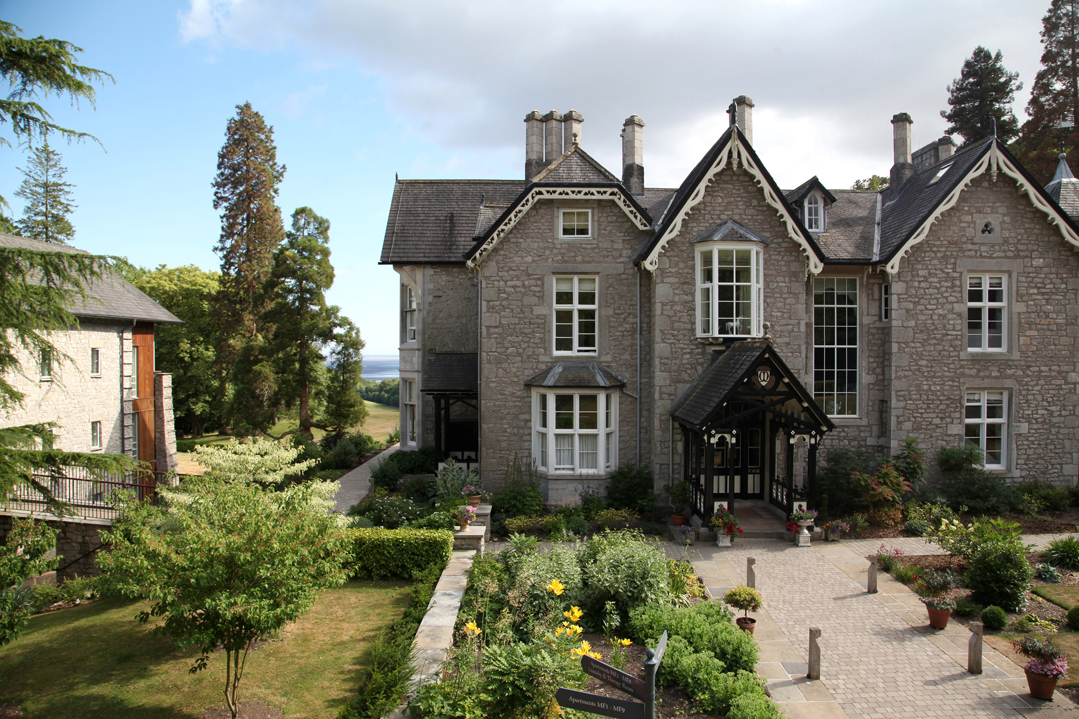
Nine elegant apartments in a Grade II-listed Victorian mansion. 46 beautifully appointed properties. The whole site nestling amidst secluded woodland and rolling pasture, just two miles from the border of the English Lake District National Park, and commanding fabulous views over the magnificent Morecambe Bay.
Soak up the splendour of the graceful drawing room. Enjoy a swim in the heated pool after a strenuous workout on the tennis court. Stroll through the woods and savour the peace and quiet of the countryside. And, at the end of a lovely day, sit on the terrace with a sundowner and contemplate That View.
Take a virtual tour
Please use the navigation built into the map or just click around and discover Merlewood for yourself!
Location
HPB Merlewood
Windermere Road
Grange Over Sands
Cumbria
England
LA11 6JT
Tel: +44 800 230 0391
Email: details@hpb.co.uk
Grange-over-Sands is a charming Edwardian seaside retreat situated on the Southern tip of the Cartmel Peninsula, between the Lake District and Morecambe Bay.
The Furness Railway transformed this small fishing village into a fashionable resort. The town features a pedestrian-only promenade, ornamental gardens, golf courses and a well-used bandstand.
The shop fronts have preserved their Edwardian appearance giving the whole place an old-fashioned, friendly atmosphere. It is an ideal destination to escape to, and for exploring the Lake District.
Things to do in Cumbria
As well as Grange-over-Sands – a charming little town that harks back to a more genteel age – Merlewood is well placed for a visit to Cartmel, home of the UK’s smallest (and surely most picturesque) National Hunt racecourse, the Michelin-starred L’Enclume restaurant; and of course sticky-toffee pudding!
Further afield – though not much – the Lakes beckon. Coniston and Windermere are magnificent, in any season; but both offer much more than just watery pleasures: Windermere in particular, with a fabulous collection of shops and museums dedicated to local lass Beatrix Potter – fascinating for young and old alike.
At the top end of Windermere, Ambleside is perhaps the jewel in the Lake District’s crown – a jaw-dropping setting, lovely architecture, plenty of welcoming pubs, shops and restaurants – and William Wordsworth.


Walks
Having a Private Tour at an HPB holiday location is an enjoyable way to see the high standards of furnishings and facilities you could enjoy with HPB.
A local HPB Representative will show you around the site and answer any questions you may have.
Alternatively, you are welcome to book a Personal Presentation at a hotel near you. You can chat to one of our local HPB Representatives, ask your questions and view the complete portfolio of HPB locations.
Read our HPB Feefo Reviews
HPB’s holiday booking service has been rated 4.9 out of 5 based on 14,772 customer reviews on Feefo
![]()
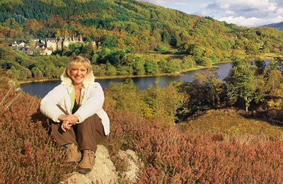
“Buying into the future”
Mike DugdaleI got talking to our next-door neighbour at Barnham Broom, who’s been a Bondholder for a while; the family were full of enthusiasm and, while in no way pushy, was really keen to pass on advice and knowledge about any other sites we’re thinking of visiting. We swapped email addresses and will definitely be in touch – but it shows the strength of feeling about HPB, and the fact that there’s a real ‘family’ aspect to it.