


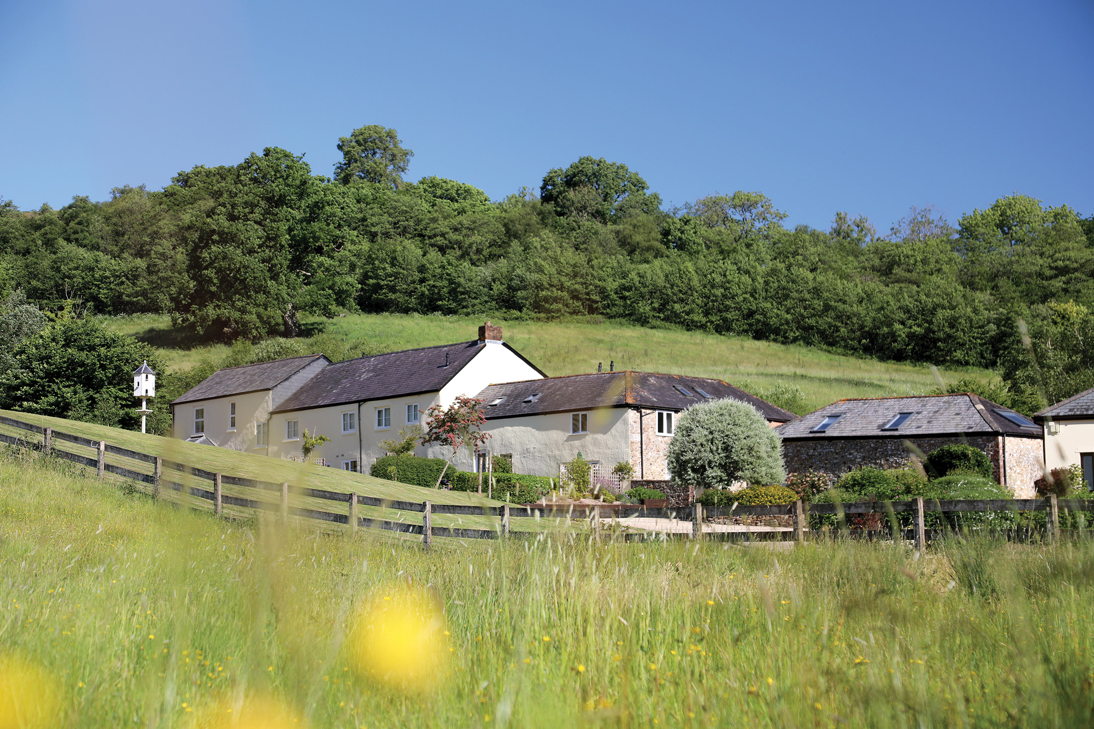
Lower Knapp Farm, Devon, England
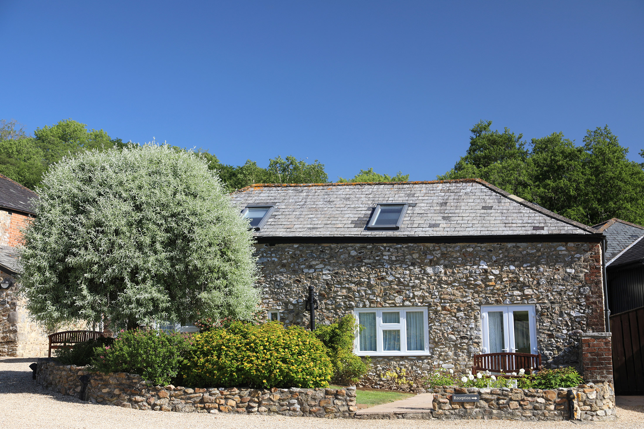
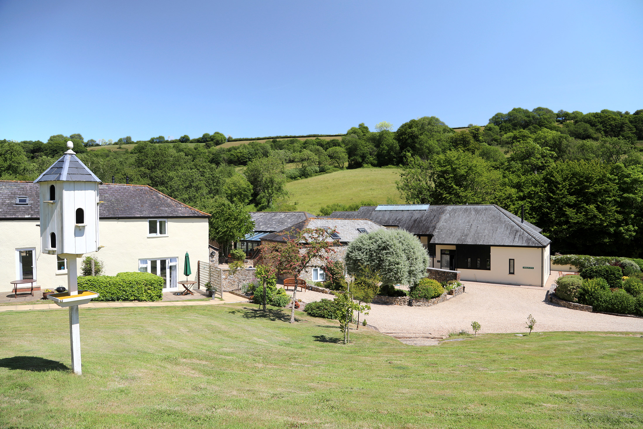
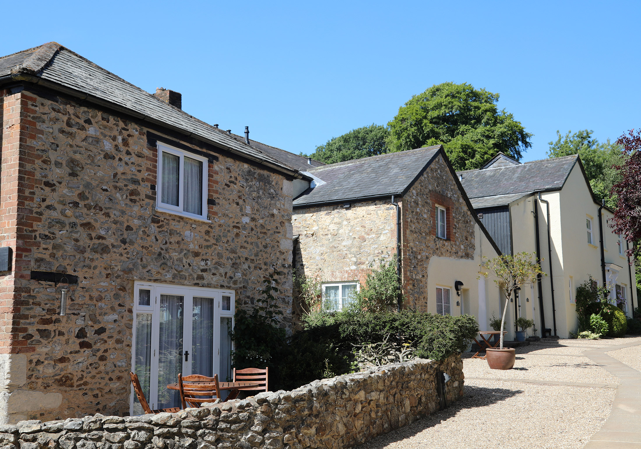
Converted from a traditional 18th century farm house and buildings
Book a tour Open Gallery-
16 apartments and cottages in Devon
-
Converted from a traditional 18th century farm house and buildings
-
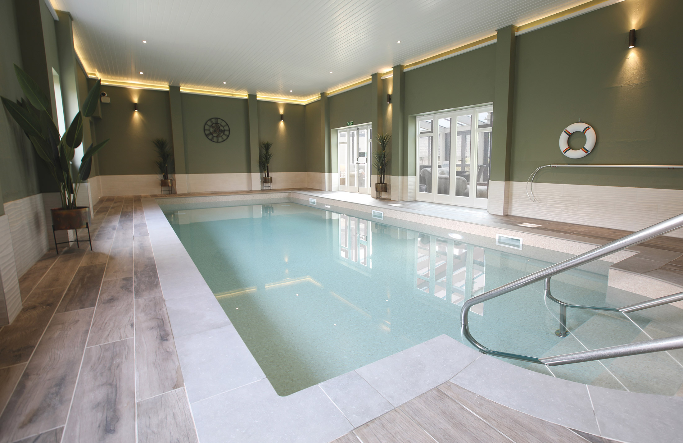
Indoor heated swimming pool with sauna
-
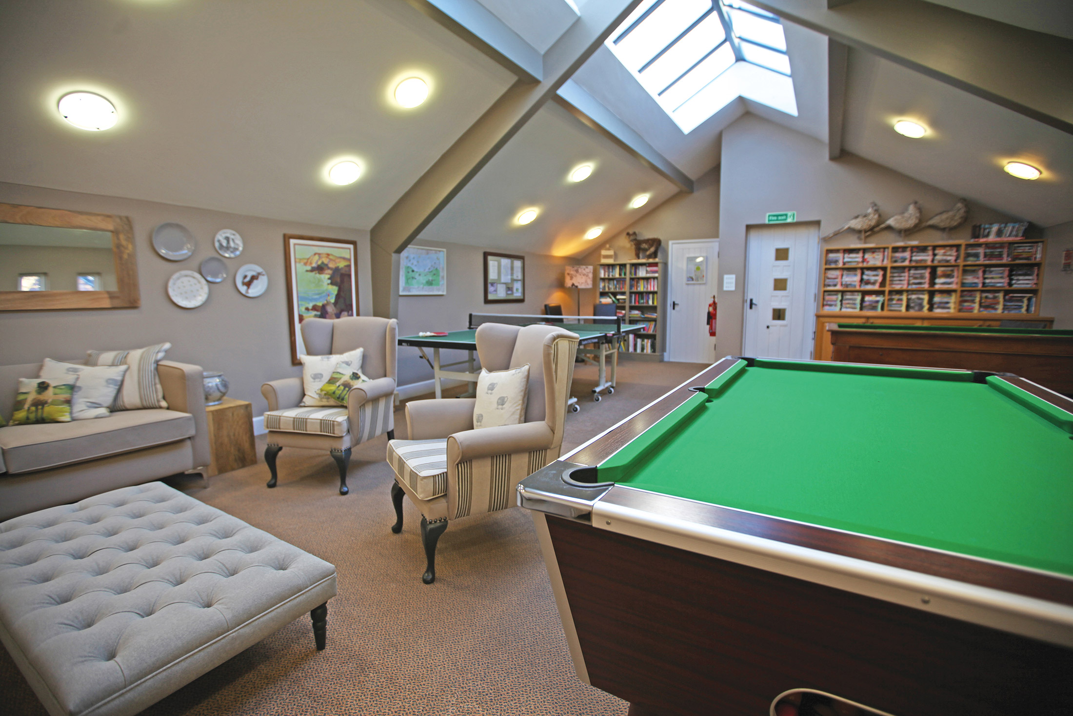
Clubhouse and games room
-
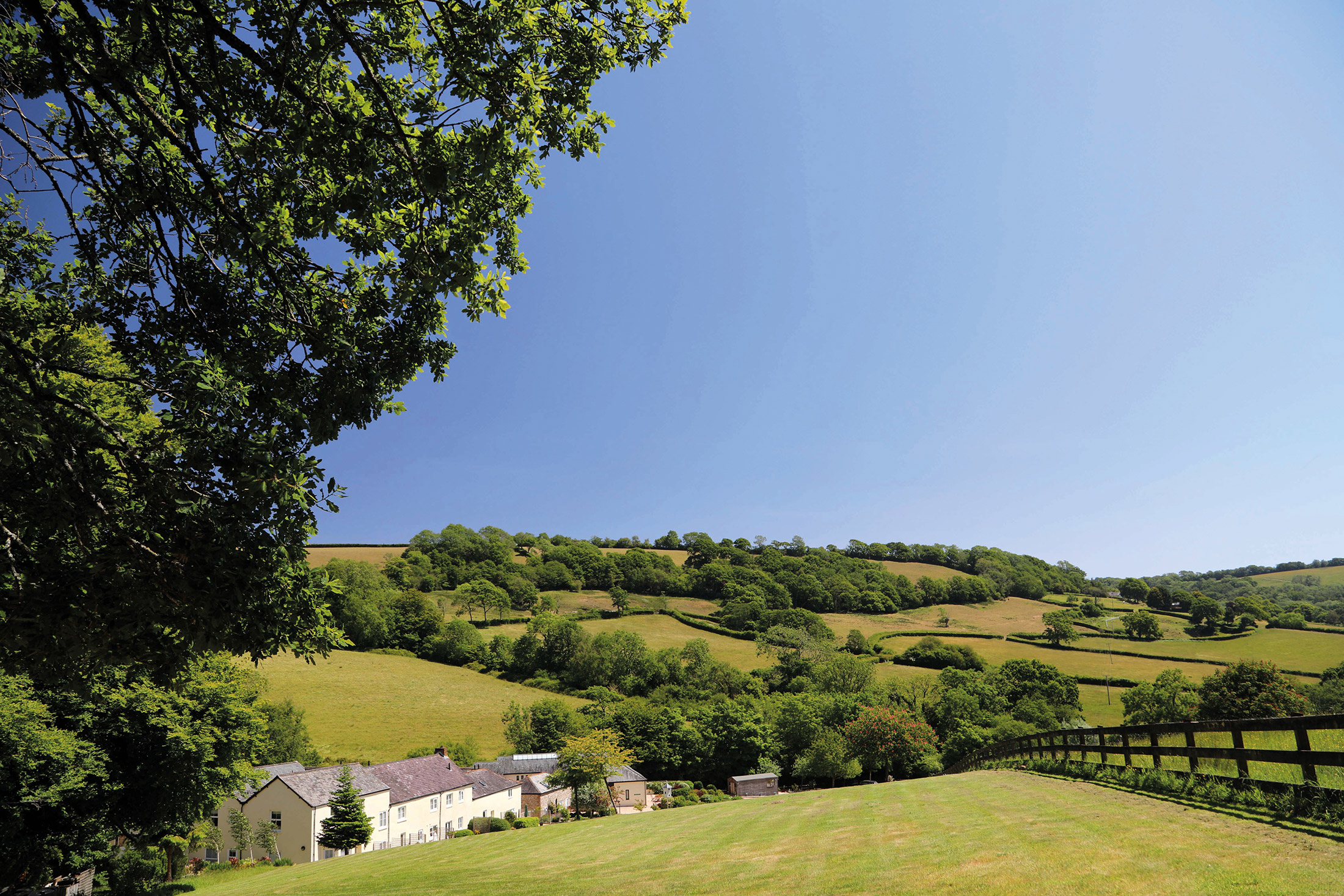
Glorious countryside with great walks
-
Lovely beaches
-
The cream of Devonshire!
Discover Devon
More about Lower Knapp Farm
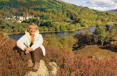
Lower Knapp Farm is a wonderfully peaceful holiday retreat – a farm which has been imaginatively converted to holiday use as cottages and apartments. It is situated in the delightful Roncombe Valley, two miles from Sidbury, a picturesque East Devon village of thatched cottages. The elegant Victorian seaside resort of Sidmouth is five miles away and the busy market town of Honiton, famous for its antique shops, is five miles to the north.
Here you are in an ideal location to discover Devon, a county as varied as it is verdant. Its huge tracts of fertile farmland are the source for its famous clotted cream and equally celebrated cider. Dartmoor National Park is both magnificent and mysterious; and Devon’s golden sandy beaches are blessed by more than their share of sunshine. Overlooked by most holidaymakers, East Devon is a particularly charming area – a land of rolling, wooded hills and valleys; of spectacular coastlines, bustling market towns and quaint, welcoming villages.
Explore Dartmoor National Park
It would be a crime to stay in Devon and not see at least some of Dartmoor National Park. It’s the largest and wildest area of open country in southern England, and there’s so much to see and do here.
History lovers will enjoy discovering the old tombs, standing stones and ruins of Hountor, a medieval village which dates back to the 14th century. If it’s walking you adore, there are 450 miles of public pathways, and routes to suit all abilities.
Alternatively, you could try your hand at birdwatching, geocaching, climbing, kayaking, letterboxing, cycling, horse-riding and so much more.
Enjoy 95 miles of stunning coastline
The Jurassic Coast in East Devon covers 95 miles of coastline, stretching all the way to Dorset. You won’t have time to explore it all, but it’s well worth a visit, as not only is it a beautiful place to relax, the rocks here record 185 million years of history!
You can access the Jurassic Coast by the South West Coast Path Trail or take a boat trip from one of the local coastal towns.
Treat yourself to a traditional cream tea
You can’t enjoy a holiday in Devon without sampling one of the naughtiest and most indulgent treats there is – a cream tea. It consists of two scones, strawberry jam, Devon clotted cream and a pot of tea to wash it all down with. Just remember to put the jam on top, otherwise you may upset the locals!
Admire Exeter’s architecture
Exeter is brimming with history, but the first attraction you should visit is the Cathedral. You won’t be able to miss it – its two towers dominate the skyline, and have done since 1114AD.
We also recommend walking along the medieval aqueducts which run under the city centre and date back to the 14th century.
Go shopping in Honiton
Collectors of antiques and pottery will definitely want to go shopping in Honiton. The high street is home to a variety of specialist dealers selling antiques and traditional crafts. That’s because Honiton has a history in glove making, pottery and lace. In fact, the local museum contains an amazing collection of lace.
There’s plenty of traditional high street shops in Honiton too, of course.
Shops and restaurants
Sidbury, about two miles away, has a pub and butchers /general store which provides all you’ll need to ‘stock up’.
For a wider choice of shopping, however, you’ll need to travel further afield – to Sidmouth for instance, which is around five miles to the east.
On-site facilities
Lower Knapp Farm has its own clubhouse and games room with table football, pool table, table tennis and bar billiards which is available for guests to use free of charge. It contains a 10 x 4 metre indoor heated pool with adjacent sauna and conservatory.
There is free Internet and Wi-Fi access.
Within the grounds there is a small children’s play area.
Properties in Devon
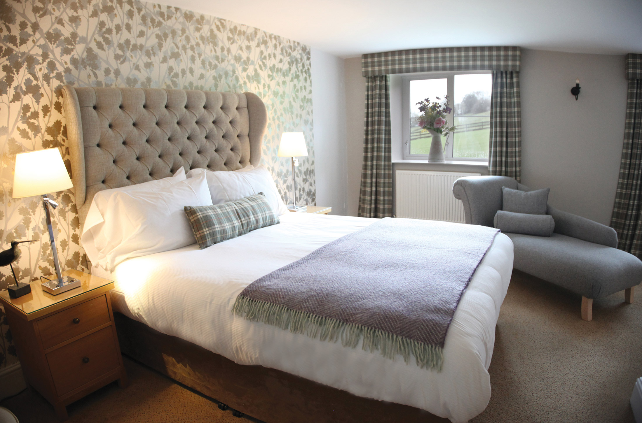
Nestling in the beautiful Roncombe Valley, Lower Knapp Farm’s 16 cottages and apartments provide a calm and restful retreat from the cares of the world. A Victorian building, Lower Knapp’s days as a working farm are not that far behind it. Half-close your eyes, and it’s easy to imagine sheep or cattle grazing in the surrounding fields, and ruddy-faced farmhands hefting hay-bales. An idealised image of bygone days? Perhaps. But once in a while, a bit of the simple life has much to recommend it.
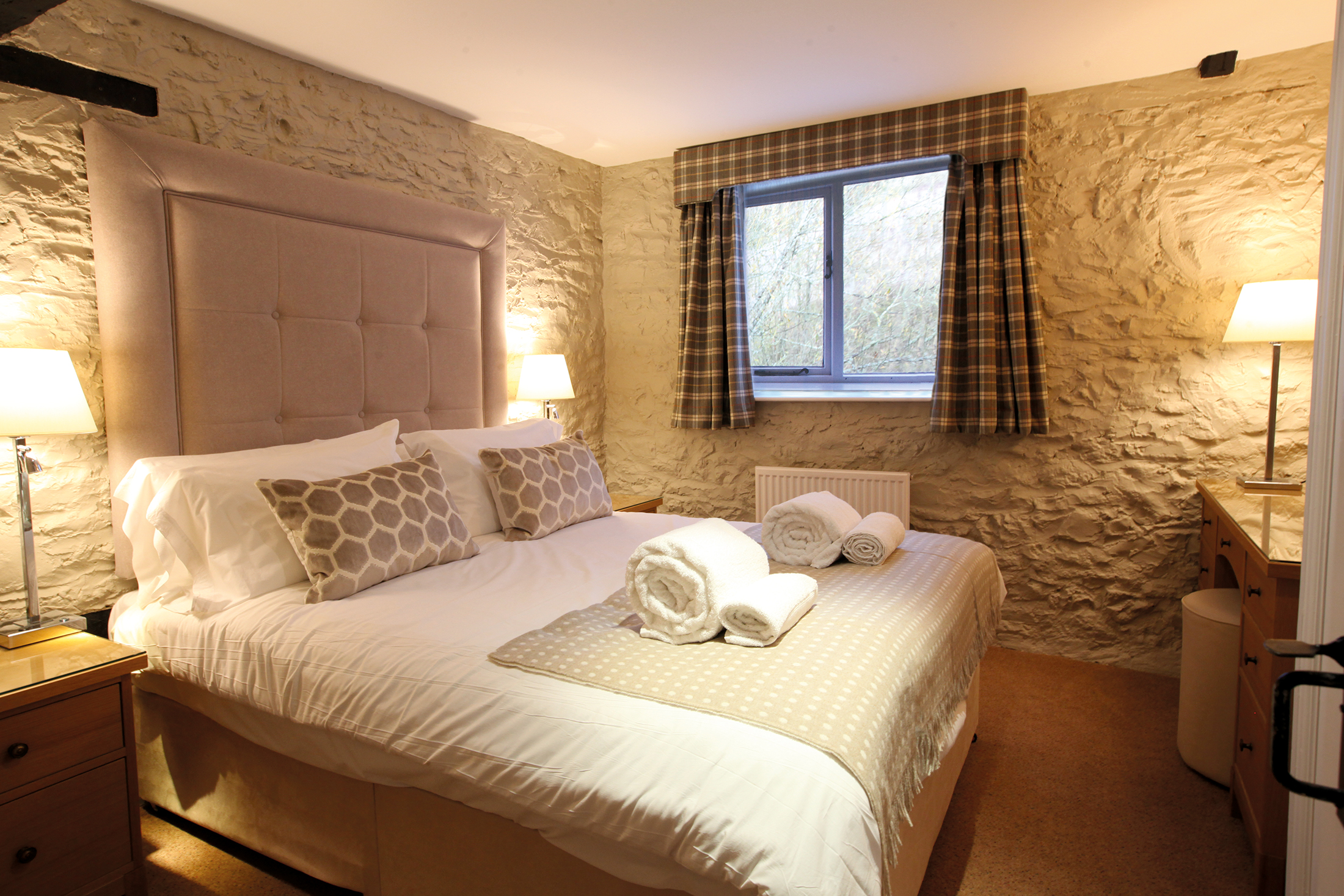
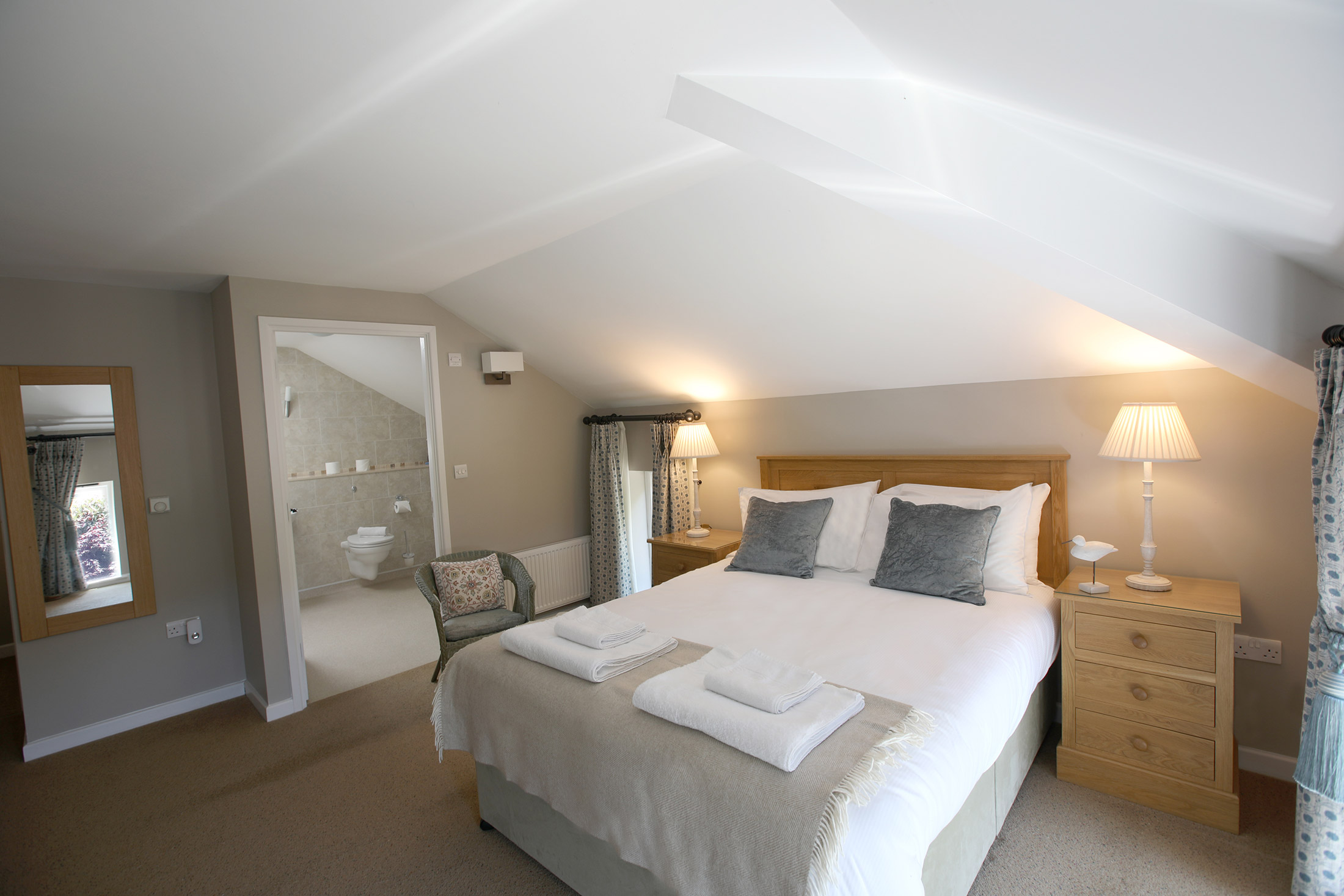
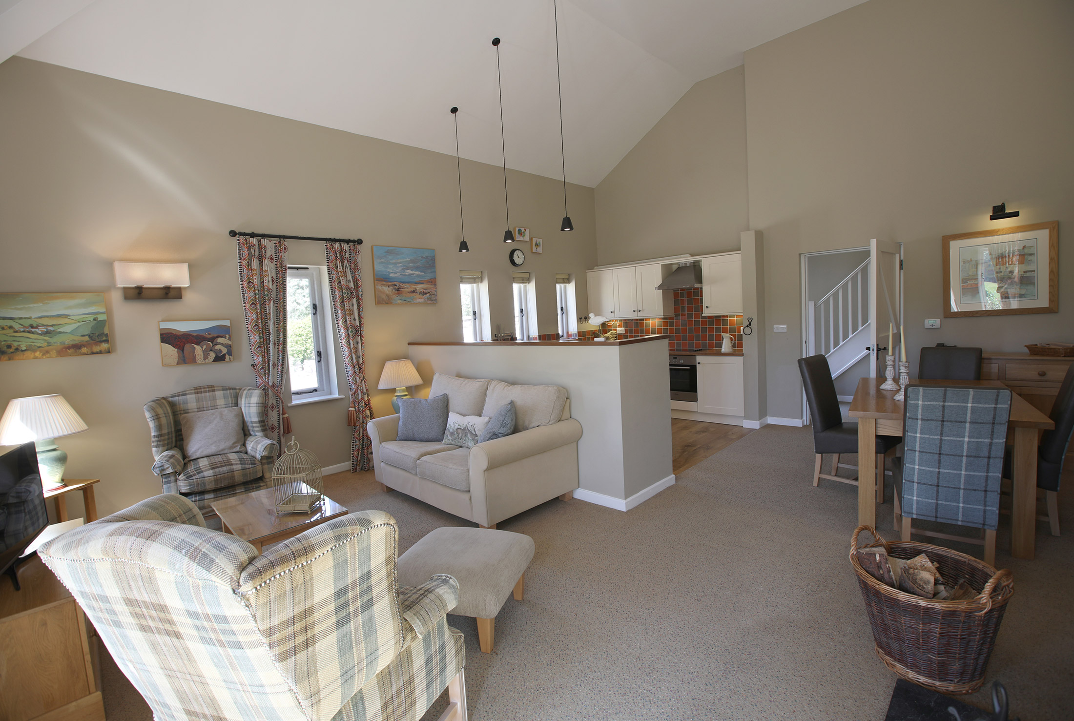
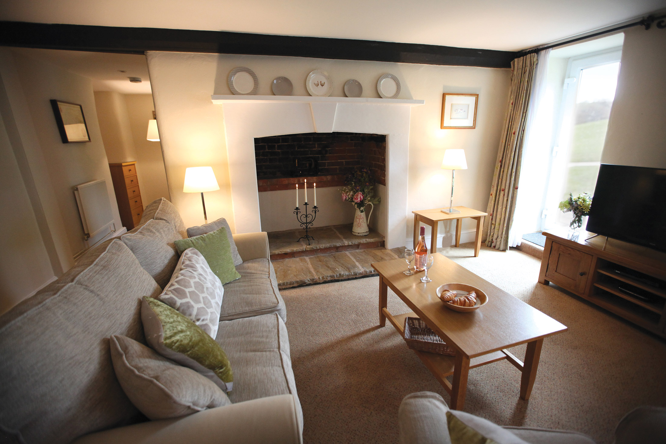
All the properties are superbly furnished with televisions and DVD players (for which a free DVD library is available). They also have fully-fitted kitchens equipped with microwaves, and are centrally heated to offer comfortable accommodation in both summer and winter.
Central washing and drying facilities are available.
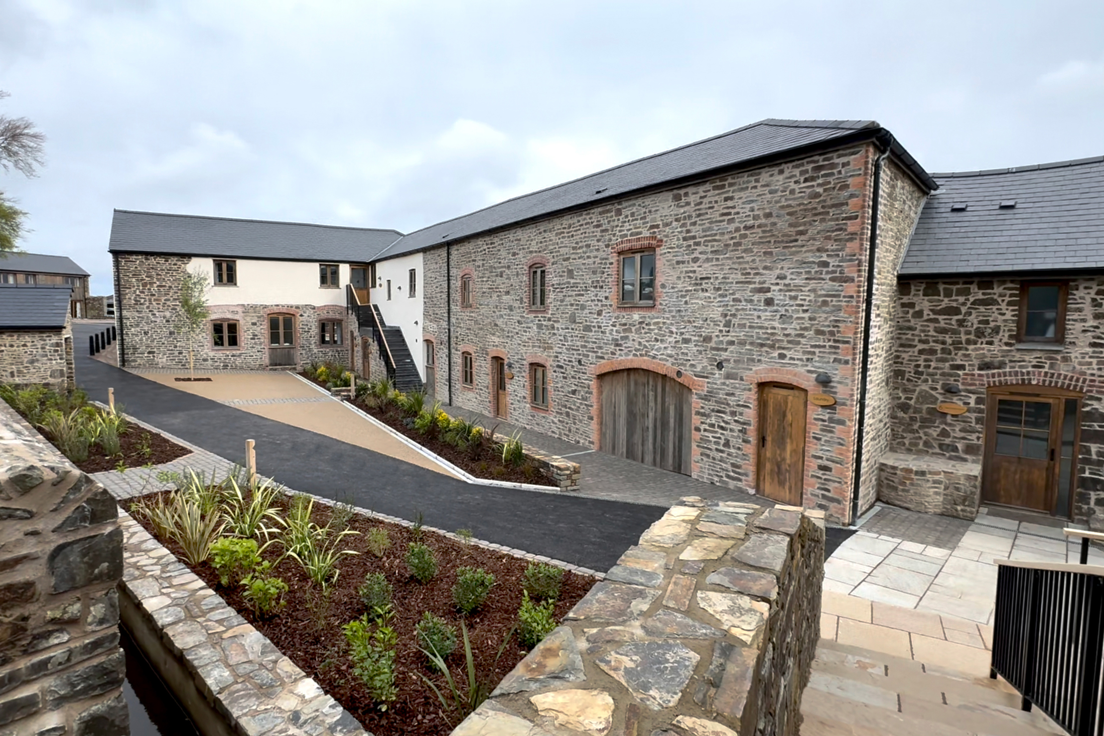
These 18th century buildings really do look beautiful inside and out – don’t you agree? While staying at Lower Knapp Farm, not only will you be treated to incredible views of the Devon countryside, you’ll also have the pleasure of staying in such cosy cottages and apartments.
As you can see from our photographs, each of our properties has a warm, rustic feel, and is fitted with all the facilities you may need, including a sizeable kitchen and somewhere to sit outside and enjoy the sun. Our amenities are great too – the modern clubhouse and games room have plenty to keep guests of all ages happy.
Location
HPB Lower Knapp Farm
Roncombe Lane
Sidbury
Devon
England
EX10 0QN
Tel: +44 800 230 0391
Email: details@hpb.co.uk
Things to do in Devon
Holidays in Devon will open your eyes to a county of contrasts. It offers the finest countryside, the sea, ancient ruins and shopping centres.
The scenery is stunning with rustic villages and towns and an excellent coastline. Devon boasts five Areas of Outstanding Natural Beauty, a UNESCO Biosphere Reserve, a UNESCO Geopark, a UNESCO World Heritage Site and two National Parks.
Sidmouth, a pretty Victorian coastal town overlooking Lyme Bay, has retained much of its old world charm. It’s resisted the usual ‘seaside’ distractions and amusements, with an attractive pedestrianised market square for visitors to enjoy shopping in relative peace.
Nearby Bicton Park Botanical Gardens are only eight miles from Lower Knapp. Set over 60 acres, these beautiful gardens have plenty for children too, from a nature trail to a climbing camp.
Walks around Lower Knapp Farm
Pretty villages, thatched cottages with attendant colourful, well-tended, gardens and narrow, high-sided lanes. Kaleidoscopic meadows and unceasing evidence of dairy farming. Devon is a place where time has stood still, or so it appears.
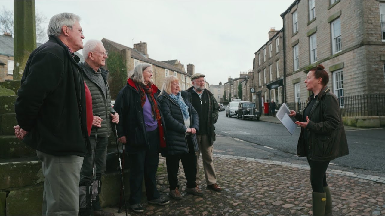
Having a Private Tour at an HPB holiday location is an enjoyable way to see the high standards of furnishings and facilities you could enjoy with HPB.
A local HPB Representative will show you around the site and answer any questions you may have.
Alternatively, you are welcome to book a Personal Presentation at a hotel near you. You can chat to one of our local HPB Representatives, ask your questions and view the complete portfolio of HPB locations.
Read our HPB Feefo Reviews
HPB’s holiday booking service has been rated 4.9 out of 5 based on 14,772 customer reviews on Feefo
![]()
“Buying into the future”
Mike DugdaleI got talking to our next-door neighbour at Barnham Broom, who’s been a Bondholder for a while; the family were full of enthusiasm and, while in no way pushy, was really keen to pass on advice and knowledge about any other sites we’re thinking of visiting. We swapped email addresses and will definitely be in touch – but it shows the strength of feeling about HPB, and the fact that there’s a real ‘family’ aspect to it.
