


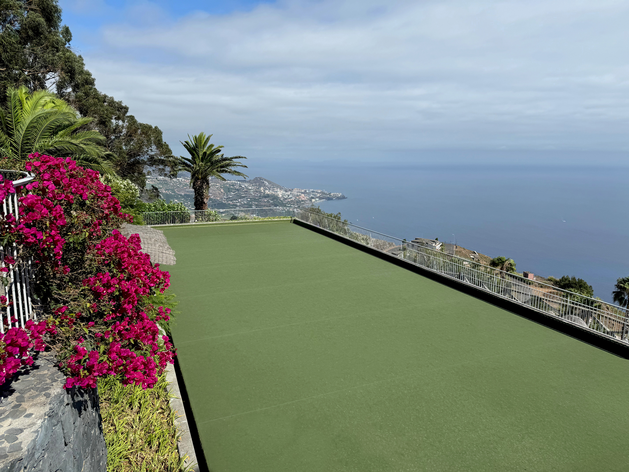
Encosta Cabo Girão, Cabo Girão, Madeira
One of Europe’s highest sea cliffs, with spectacular views and beautiful flora
Open Gallery-
120 lovely properties, from studios to villas with private pools
-
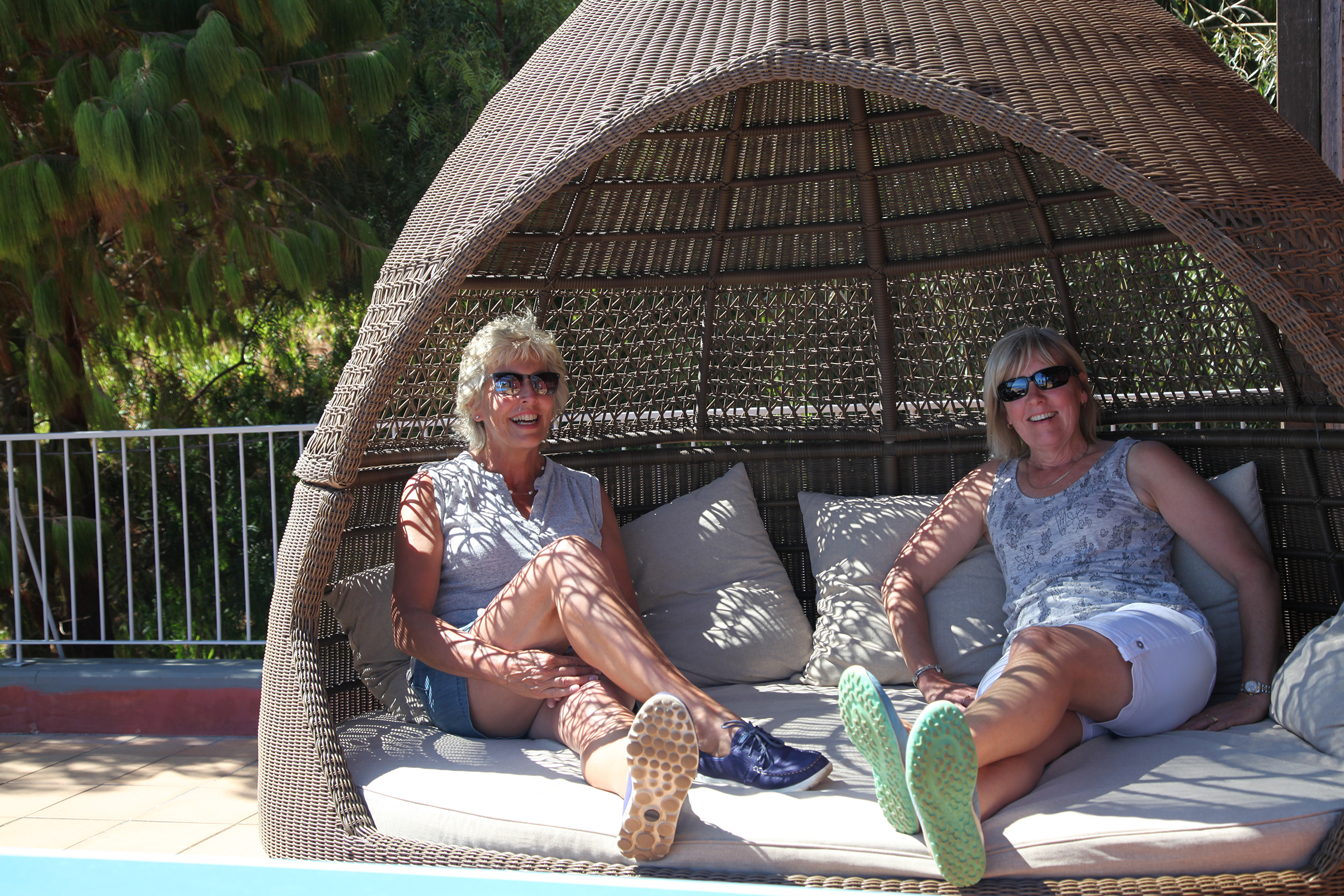
Large variety of on-site facilities
-
Just a stone’s throw from the island’s capital, Funchal
-
Enjoy year-round spring climate
-
One of Europe’s highest sea cliffs, with spectacular views and beautiful flora
-
In a prime position to spot the whales and dolphins that frequent the warm waters
-
Great walking trails across the picturesque mountains and beautiful landscapes
Discover Cabo Girão
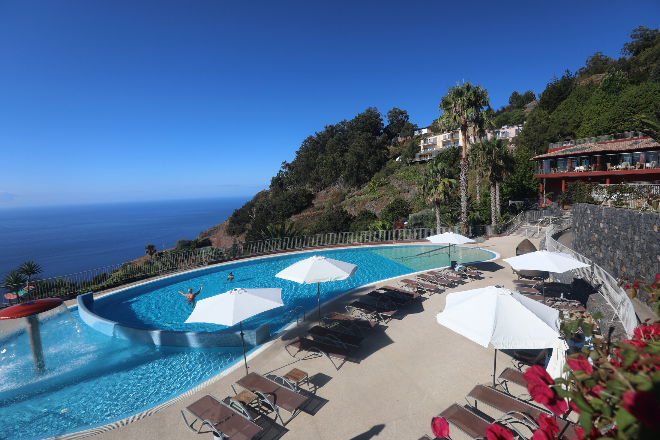
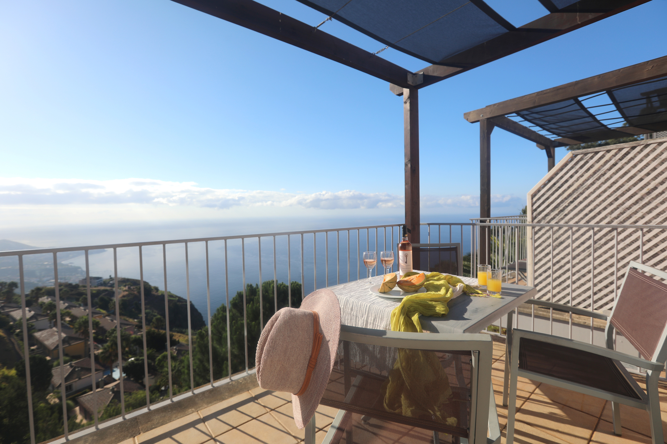
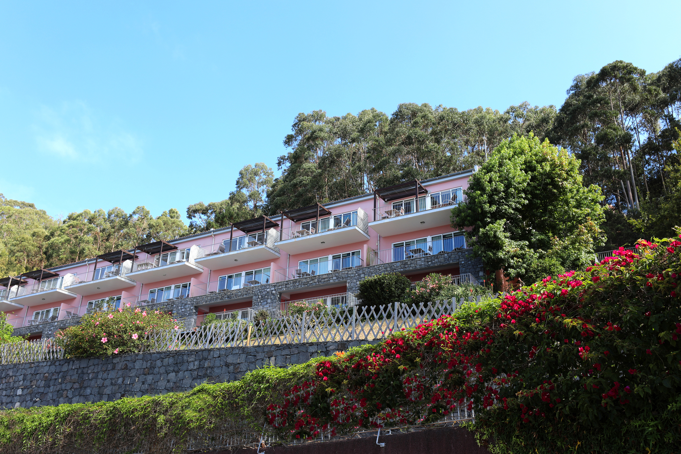
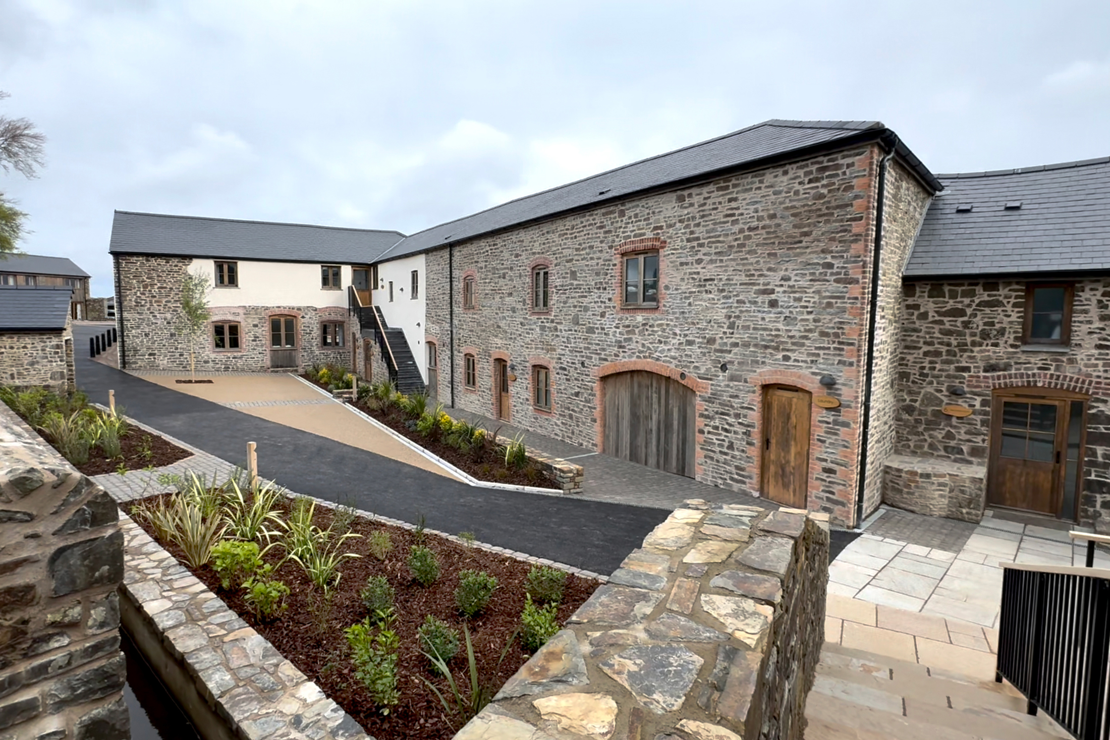
Encosta Cabo Girão in Madeira is a delightful, fully serviced private resort of well-appointed holiday villas and apartments situated atop one of Europe’s highest sea cliffs. It is located some eight miles from Funchal, the island’s capital, and enjoys panoramic views across the valley to the capital and out to sea.
Nothing quite compares with Madeira when it comes to fantastic scenery and spectacular views. Here, Laurisilva rainforest and distinctive hilltop houses give way to verdant terraced ravines, and thence to the azure blue waters of the Atlantic. In fact, this beautiful Portuguese island offers the best of all worlds: enchanting countryside, temperate climate and a lavish helping of history and culture.
If you wish, you can spend days relishing the stunning natural beauty of the island. Here you’ll find absolute peace in parks and stunning gardens, gentle levada walks and delightful villages that appear unchanged in decades. Yet the capital, Funchal, is modern and lively, with countless restaurants; six cinemas; lidos and water parks; superb shopping; markets, museums and more.
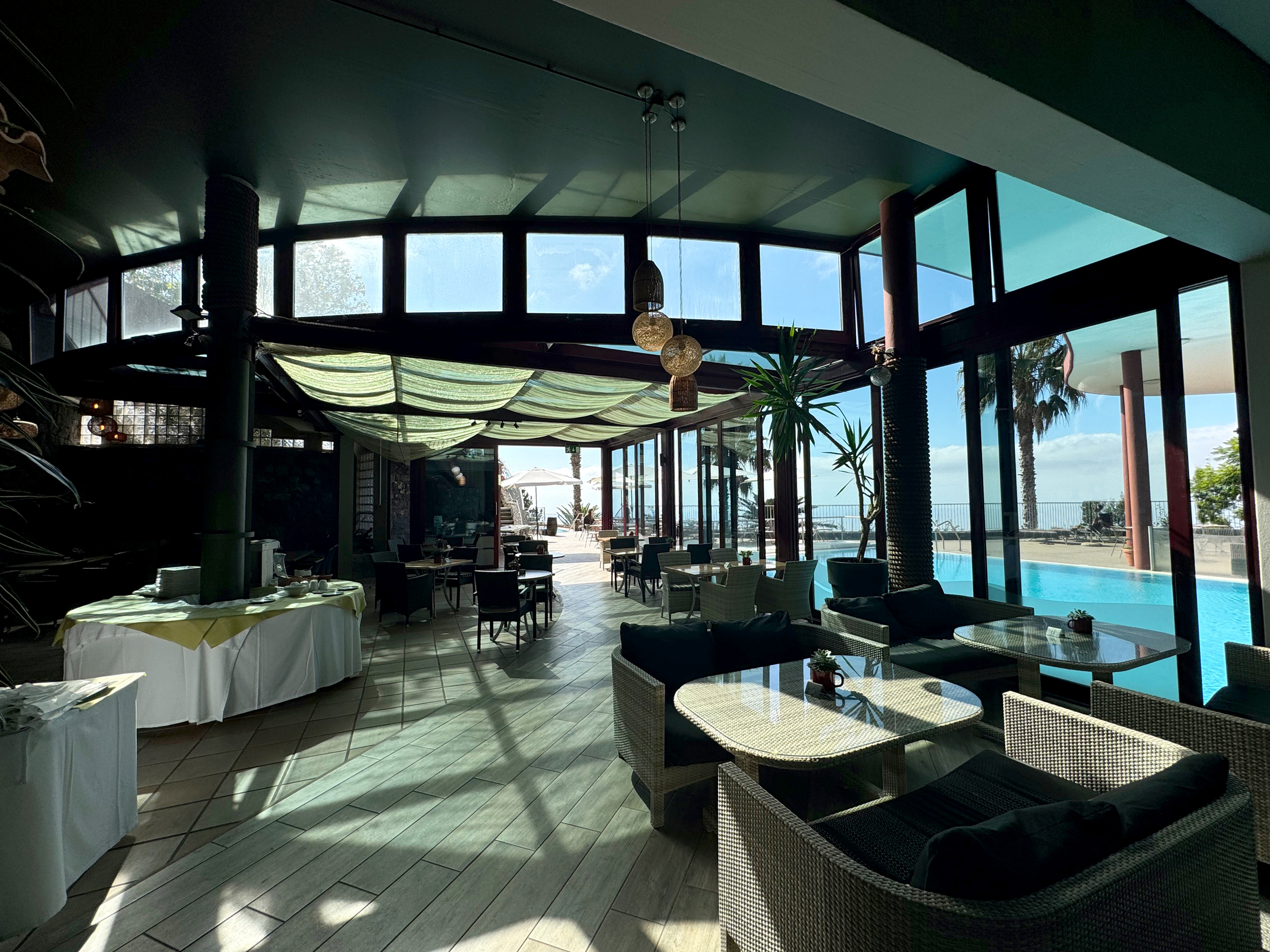
With a luxury holiday in Madeira you can enjoy all of this plus the many amenities on offer including a swimming pool, pool bar, restaurant, spa centre and much more.
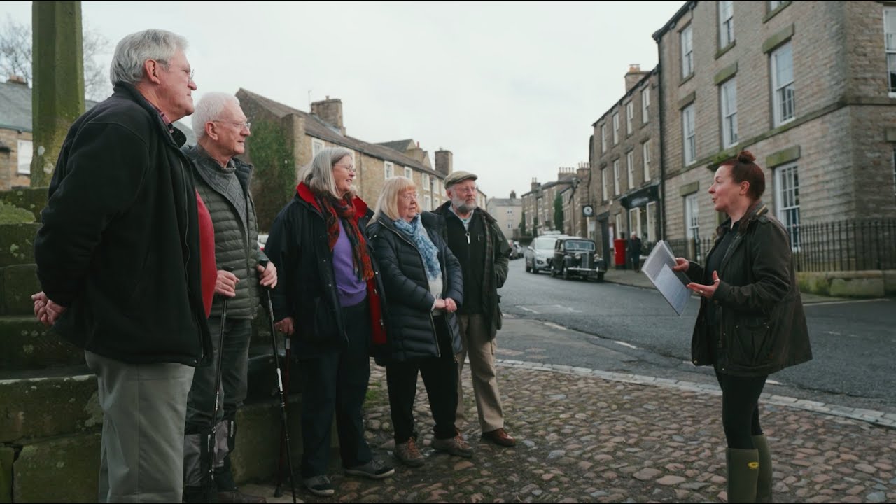
Visit the village Winston Churchill painted
Winston Churchill was a big fan of Madeira and particularly enjoyed going there to relax and paint the wonderful scenery. Camâra de Lobos was one of his favourite villages to capture, and it’s easy to see why; it’s so picturesque. There are many sites of interest here, from the beautiful bay to the Pico da Torre peak and Bocca dos Namorados viewing point – so bring the hiking boots along!
Enjoy a levada walk
Levada, or mini-canals, make for great walking trails. They criss-cross Madeira’s mountains, and there are a variety of routes to choose from – travel through tunnels, under waterfalls and through forested mountains. These walks really are one of the best ways to experience Madeira.
Celebrate a festival
No matter what your passion is, there’s a festival celebrating it in Madeira. Throughout the year, expect to see special events focusing on food, flowers, music, fireworks and more. No matter what season you visit the island in, the locals will be celebrating something!
Learn more about Madeira’s natural history
Want to know more about how the Madeiran Archipelago was formed? Then visit the Volcanism Centre, which recreates the evolution of the area’s caves and the volcanic eruptions that happened here. Make sure you see some caves in person too – Sâo Vicente’s are famous for its lava accumulations and stalactites. The 700m underground walk really is fascinating.
Admire more than 2,500 exotic plants at the Monte Palace Gardens
The Monte Palace Gardens is one of Madeira’s most popular attractions. Covering an area of more than 70,000m², the garden boasts in excess of 2,500 exotic plants from across the world. The colour and beauty of this space really will impress you.
Once you’ve explored the Gardens, you can take the Monte toboggan ride down towards Funchal’s city centre.
Concessionary long stay holidays
If you would like to stay at Encosta Cabo Girão for longer than a week, you can take advantage of our concessionary long-stay specials. Please get in touch with us for more details.
Shops and restaurants
Of the traditional products made by local crafts people, the best-known are Madeira wine and the exquisite Madeiran embroidery, tapestries and wickerwork. The main fashion names are easy to find in Funchal’s shops. The city also has several shopping centres that stay open till late and offer a multiplicity of choices.
There are restaurants for all tastes – from the most modern and sophisticated eateries with international cuisine to regional restaurants and welcoming, traditional taverns.
Fish dishes, such as scabbard fillet, tuna steak and escabeche tuna – and meat dishes like the traditional espetada (marinated beef traditionally served on a laurel skewer) – are highly recommended.
The on-site restaurant and pool bar offer a diverse menu, comprising local specialities and ‘western’ cuisine, as well as a selection of fine wines.
On-site facilities
The reception and leisure building houses an information room, pool table, table tennis, table football, a Lego table, free DVD library and sports equipment. There is also a billiard room for adults only. Free Internet and Wi-Fi access.
In the centre, halfway down the site, is the clubhouse. Within the site there is a range of facilities – not least:
- restaurant with over 100 covers
- pool bar with bistro facilities
- mini market
- barbecue area
- steam room and sauna
- spa centre
- children’s pool and playground
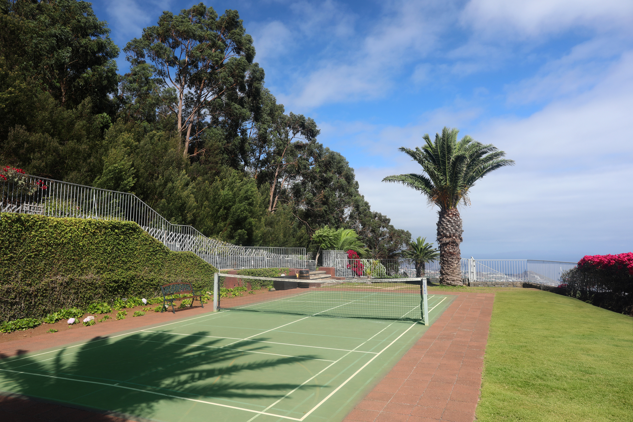
- tennis
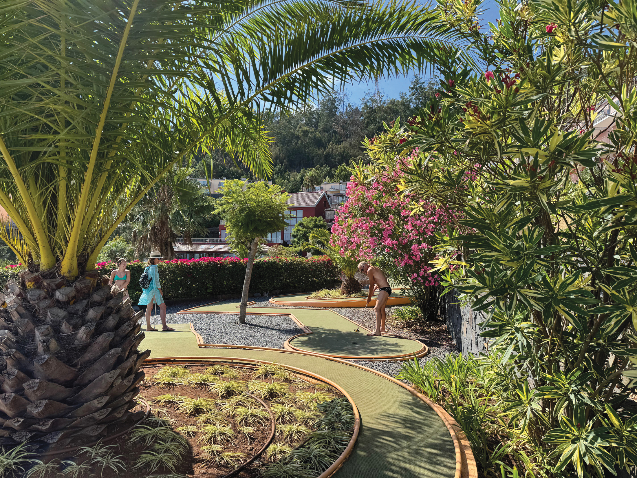
- mini golf
- coffee lounge
- billiards room
- sun terraces
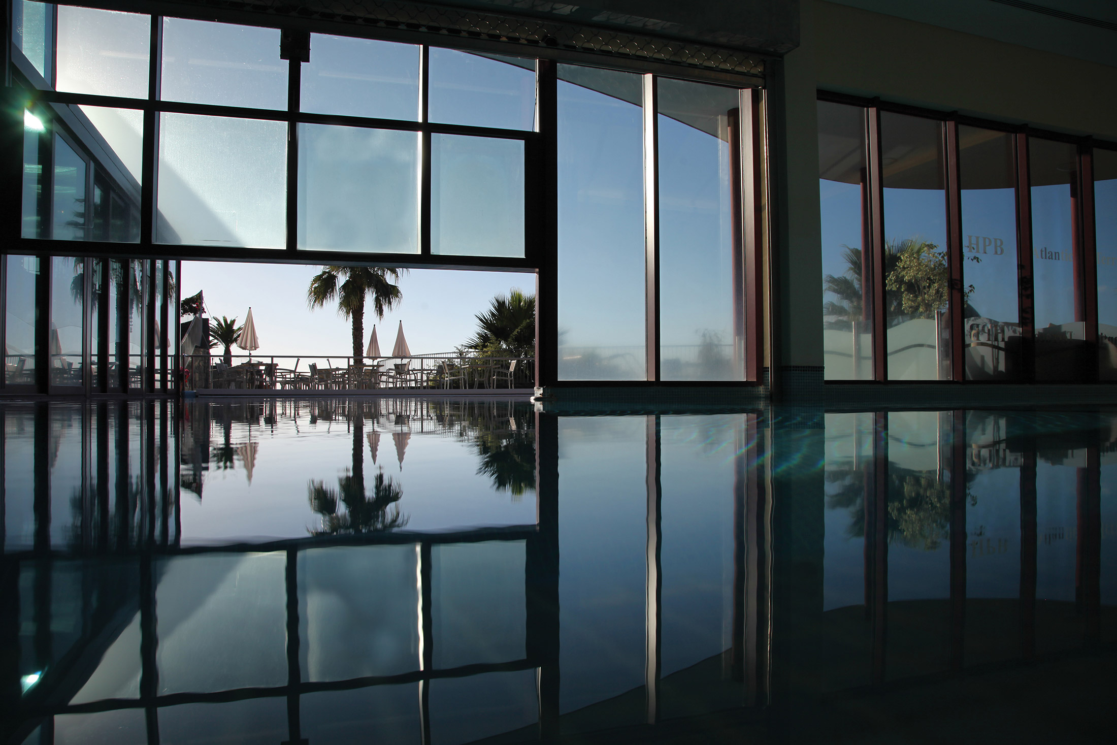
- large heated indoor/outdoor pool with spa
- large swimming pool with wheelchair access
- Internet facilities
- garden chess
- bowls
- table tennis
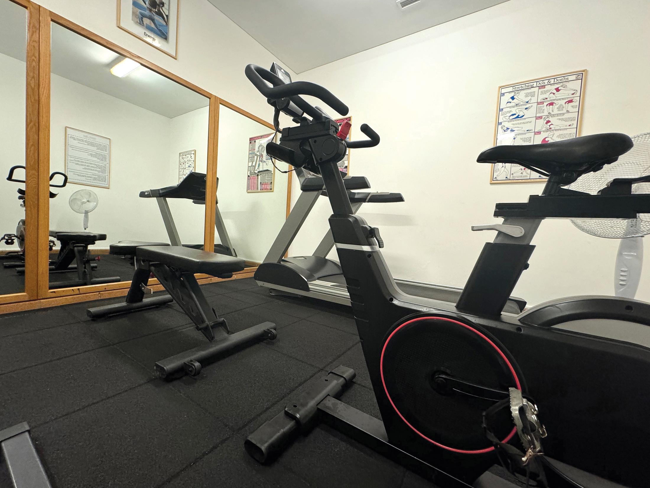
- exercise room
- on site shuttle
During school holidays an Activity Club is run with tennis classes for all ages, all sorts of activities for youngsters, BBQ evenings, Pizza and Movies night, water polo, etc.
Car hire is available at the airport, and may be pre-booked. Additionally, local bookings can be made through reception. The site also operates a shuttle bus service during the week to Funchal and Camara de Lobos (a small charge is payable for this service).
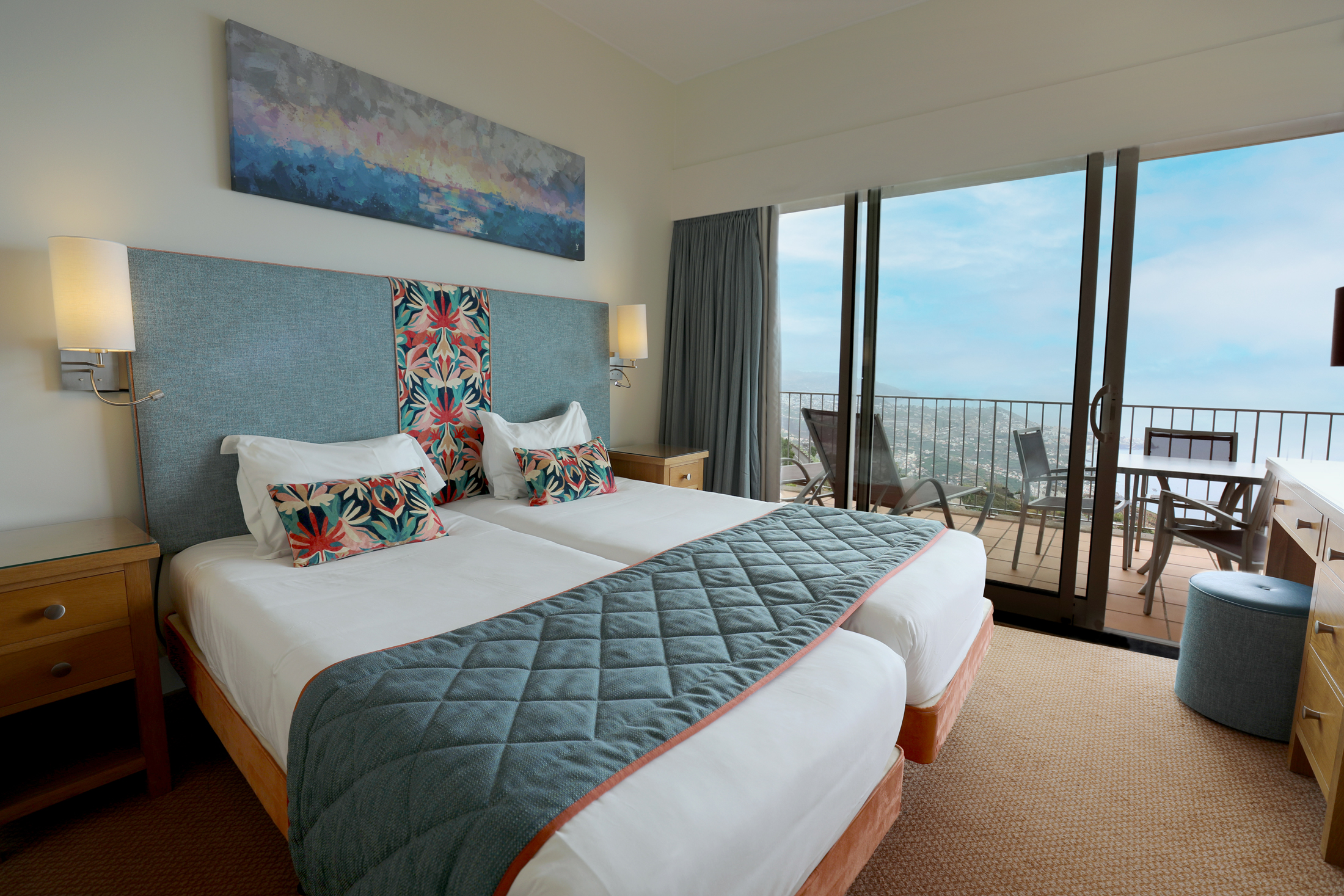
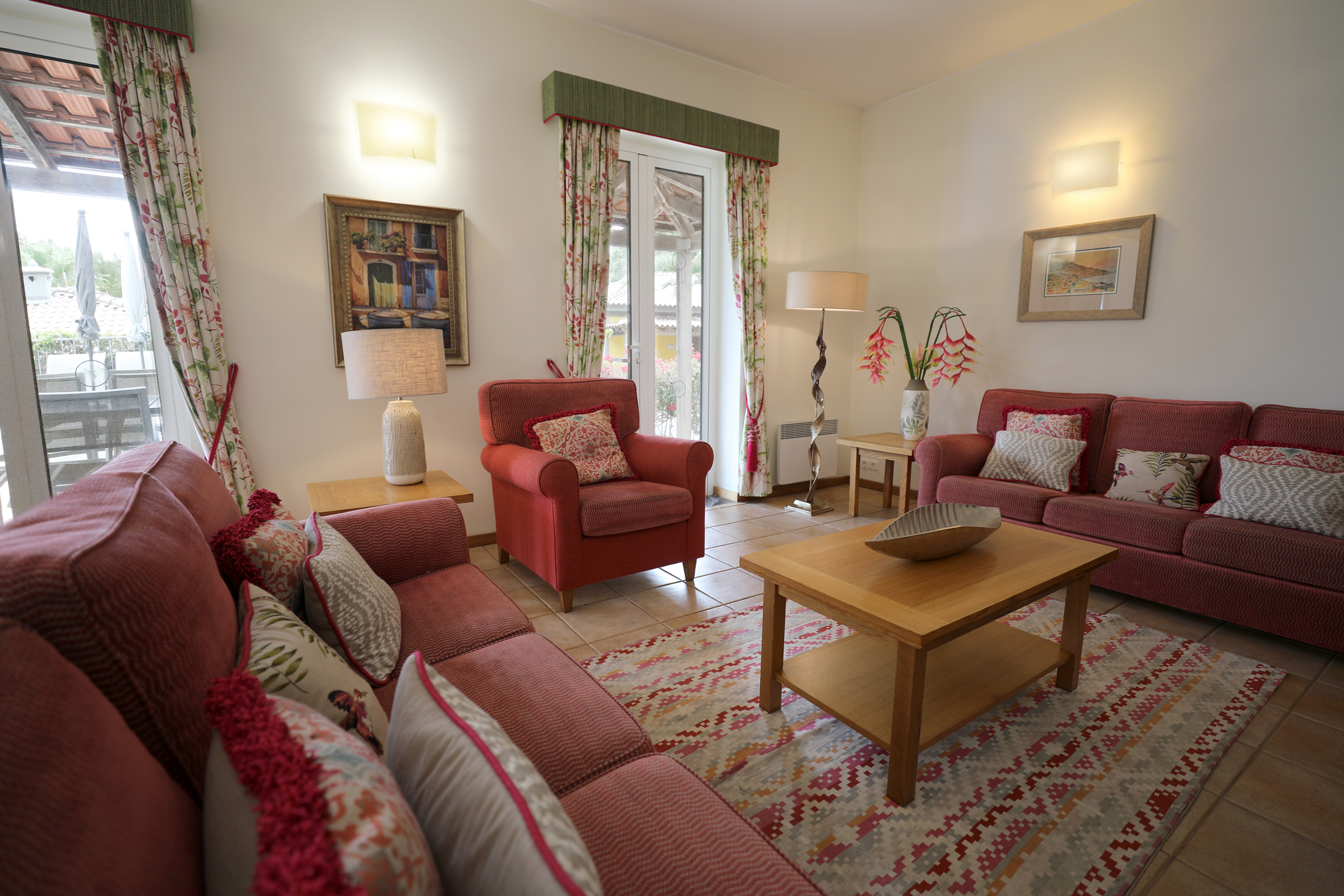
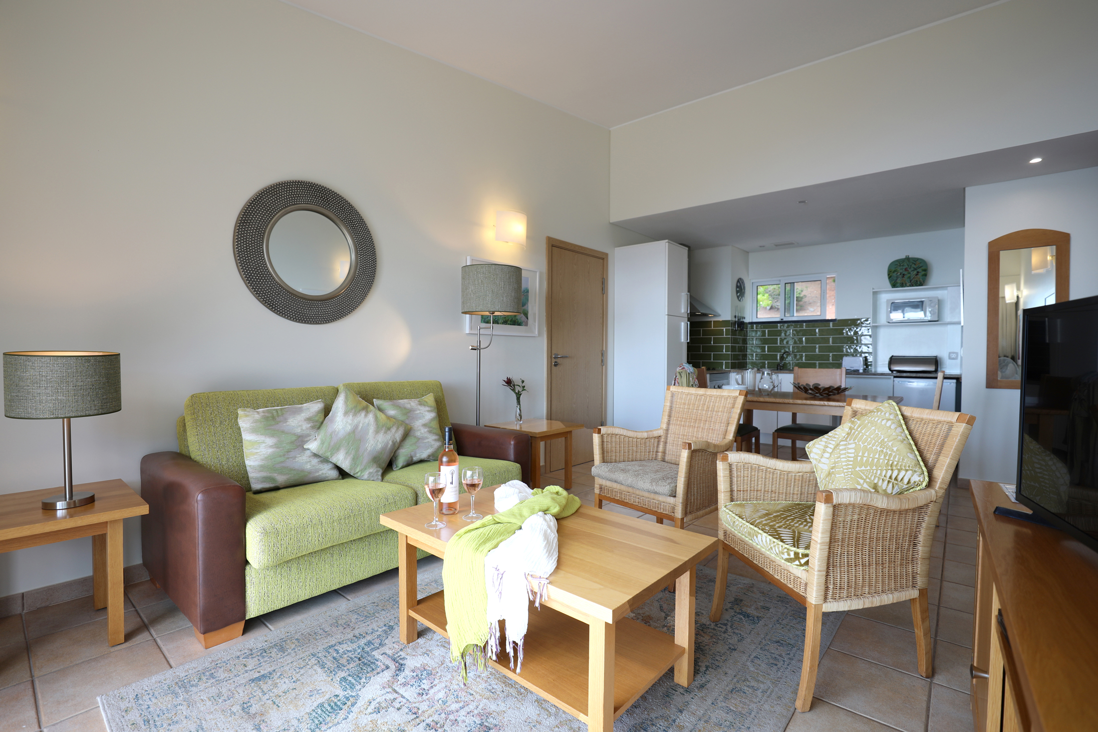
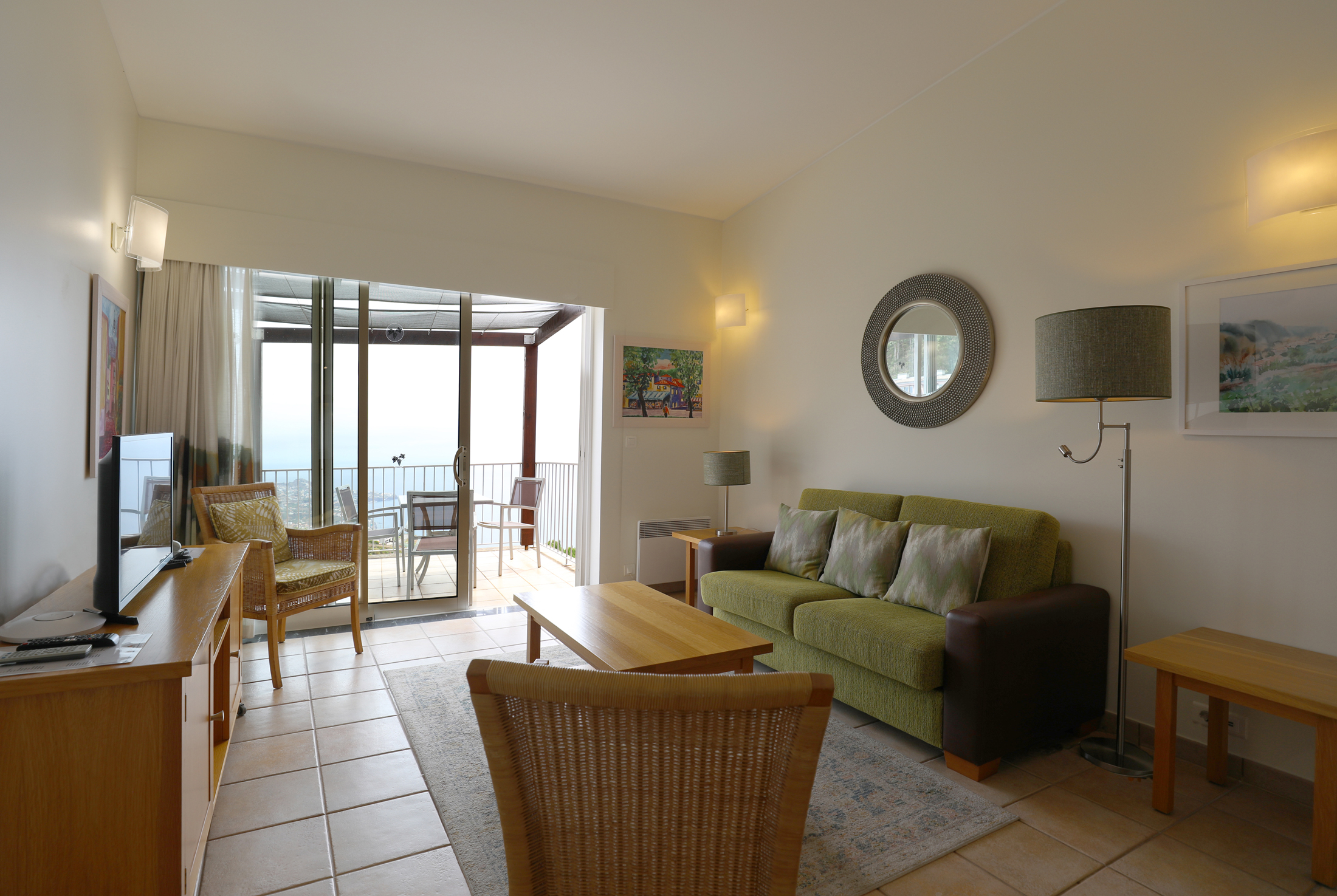
In all, the site has 120 properties, 3 of which are mobility friendly: two studio apartments, 51 one-bedroom apartments, 45 two-bedroom apartments, three two-bedroom private villas, 12 three-bedroom private villas (with a heated shared pool) and seven four-bedroom villas with private heated pools.
The villas also share a private tennis court. All properties offer sea views.
A number of one-bedroom apartments have been provided with inter-connecting doors, enabling two one-bedroom units to be linked together (so creating a two-bedroom, two bathroom property).
A free shuttle on-site courtesy bus service is available for people who have mobility difficulties around the site. This operates from 8.00am to 11.00pm everyday.
Properties in Madeira
You couldn’t hope for a better holiday home location than atop one of Europe’s highest sea cliffs. Every day, whether you’re stood on your balcony or lounging by the swimming pool, you’ll get to enjoy incredible views of the Atlantic and the surrounding mountains.
There are a variety of properties to stay in at Encosta Cabo Girão, and each comes with its own outdoor swimming pool. Of course, there are lots of other facilities across the site, including a spa, exercise room, large restaurant, children’s playground and much more. Who would want to come home after spending a week at this wonderful resort?
Location
HPB Encosta Cabo Girão
Quinta Girão
Câmara de Lobos
Madeira
Portugal
9300-081
Tel: +44 800 230 0391
Email: details@hpb.co.uk
The island of Madeira is one of Europe’s most beautiful travel locations.
It offers an all-year-round summer climate and wonderful fauna and flora. Here you will find wonderful parks and gardens with the most exotic flowers; immense, lofty cliffs and vertiginous peaks; and rustic villages in peaceful valleys.
The Island is often referred to as a “floating garden”, which reflects the centuries of cultivation. The rich volcanic soil, good climate and rainfall have created a landscape of fertile river valleys, terraced hillsides cultivated with vines and bananas, and thick forest.
Leisure options in Madeira are many and varied, from golf to game fishing, and getting around is easy. At any time of the year, the island has wonderful flora. In the summer, you’ll drive past miles of blue and white agapanthus and colourful hydrangeas.
There are many fabulous gardens; a mild climate, fertile soil and plenty of clean water mean that the plants grow quickly and to remarkable sizes. Festivals throughout the year mark the harvest of grapes, chestnuts, cherries, sugar cane and flowers.
Madeira’s traditional laurisilva (laurel) forest is a World Natural Heritage Site. It’s home to species of fauna and flora found hardly anywhere else in the world, and is a must see.
Things to do in Madeira
Walks
Read our HPB Feefo Reviews
HPB’s holiday booking service has been rated 4.9 out of 5 based on 14,772 customer reviews on Feefo
![]()
“Fit for purpose”
Carole EdmondsonWhat better place to get, or keep, fit, than somewhere warm (but not too warm), with beautiful views (to distract you from all the hard work you’re doing), and an instructor who will stretch you just a little, but is happy to go at your pace?