El Balcón de Santa Ana, Playa de Santiago, La Gomera
The world’s best seas for whale-watching
Open Gallery-
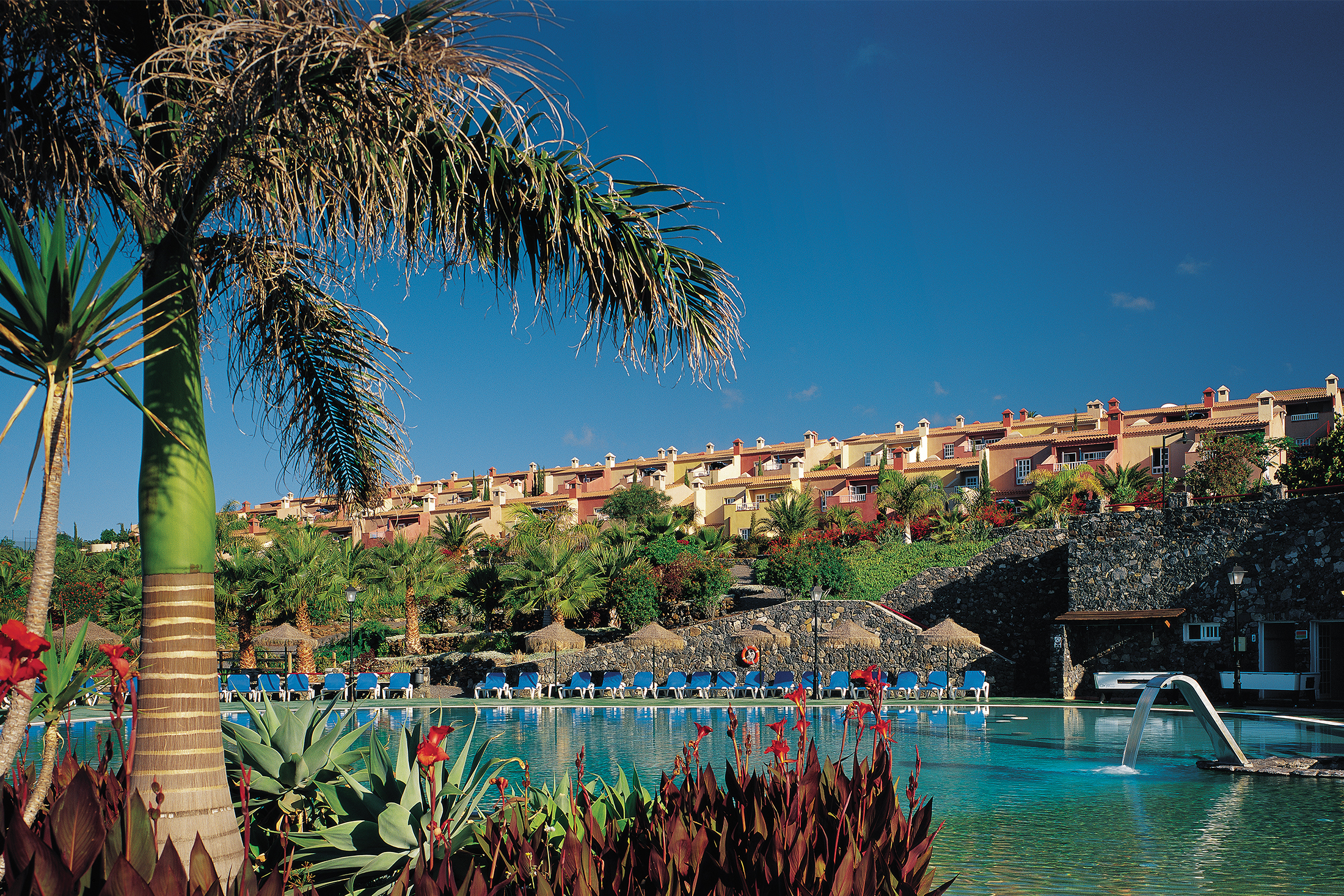
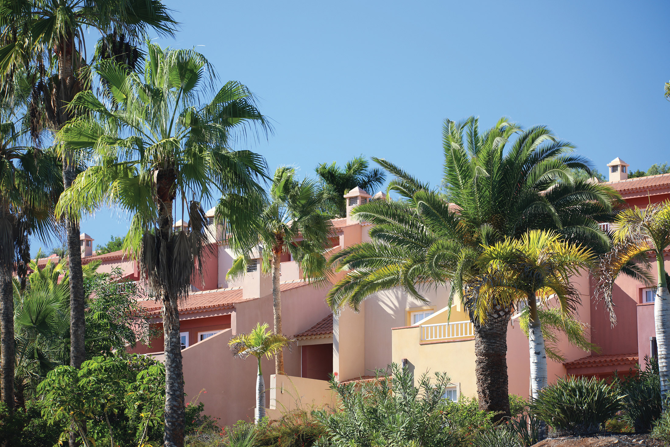
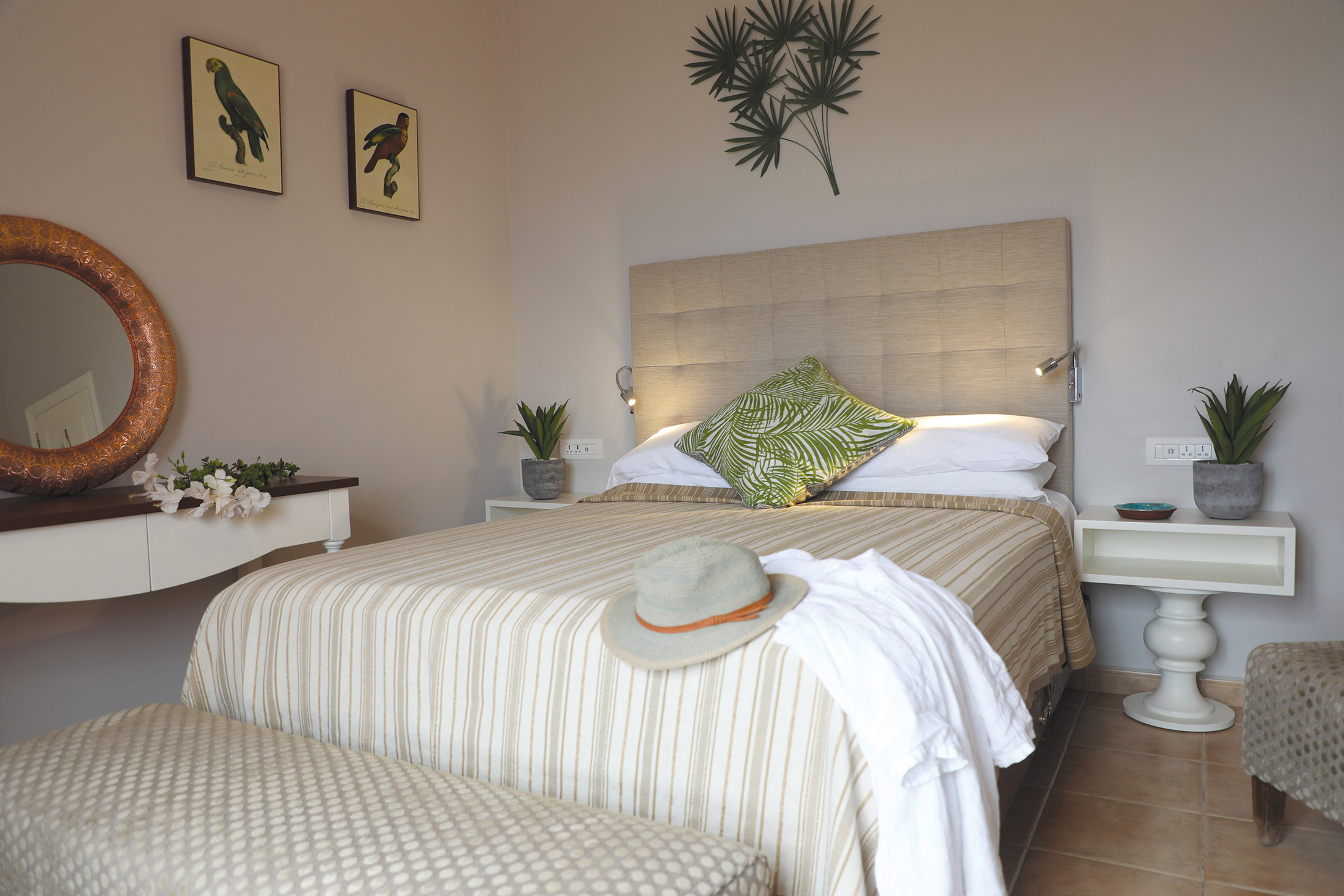
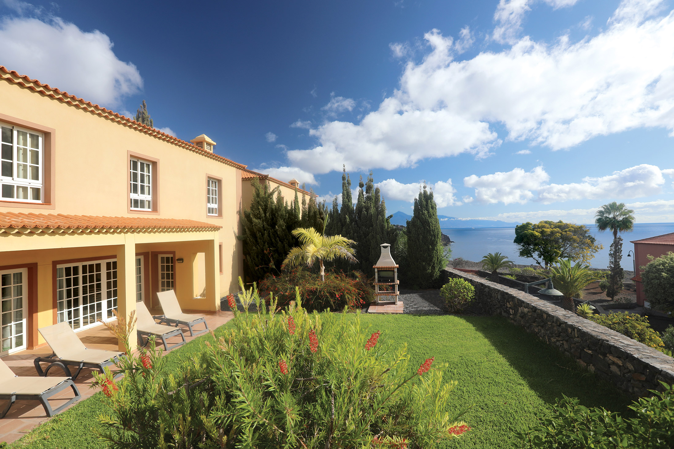
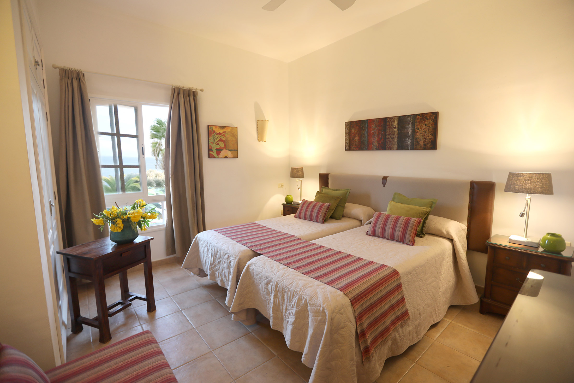
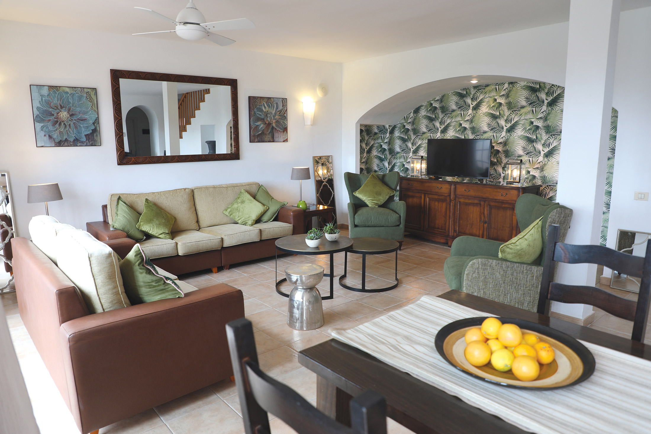
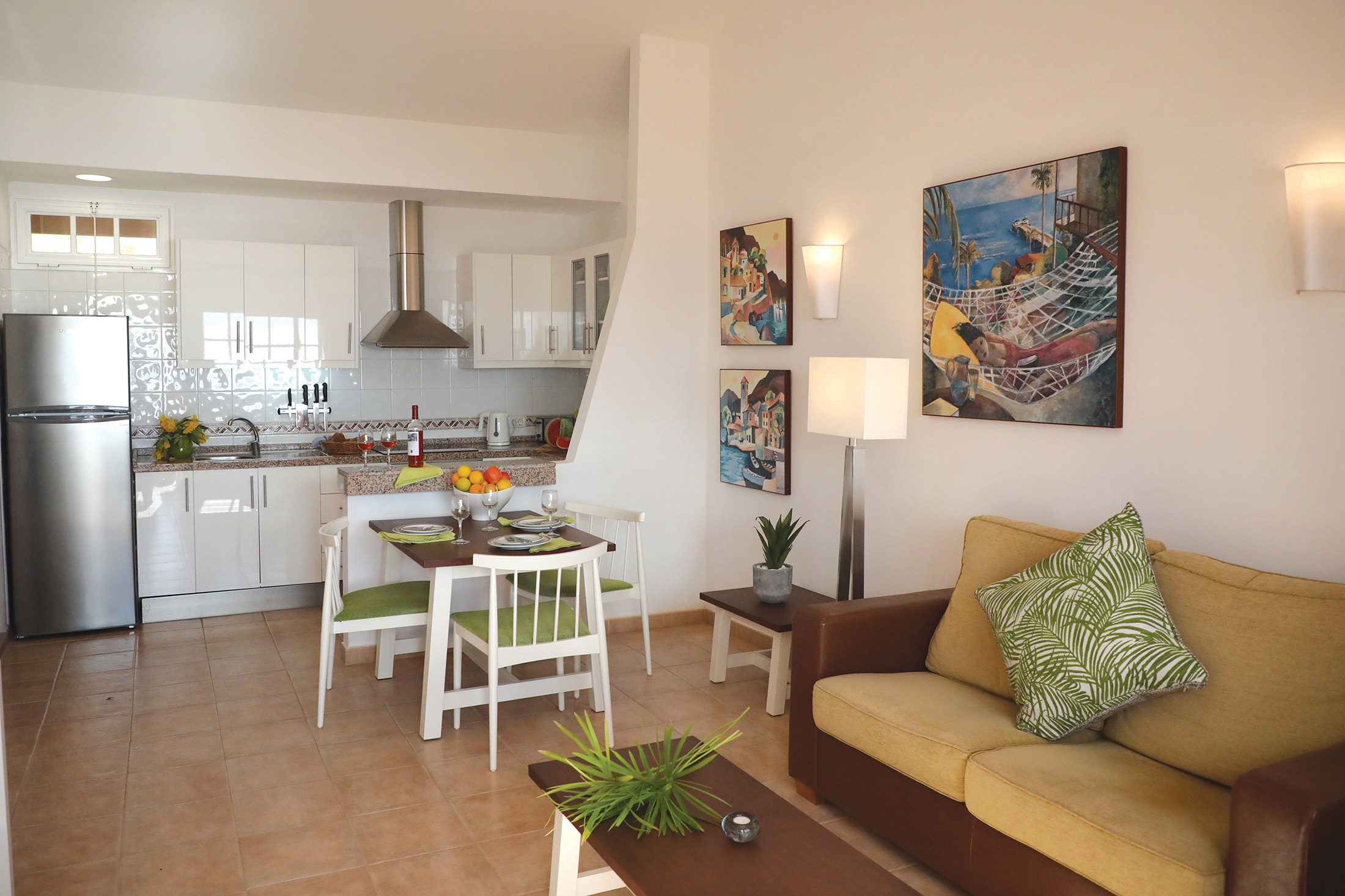
104 holiday apartments and villas in La Gomera
-
All with sea views
-
Beautiful displays of bougainvillea
-
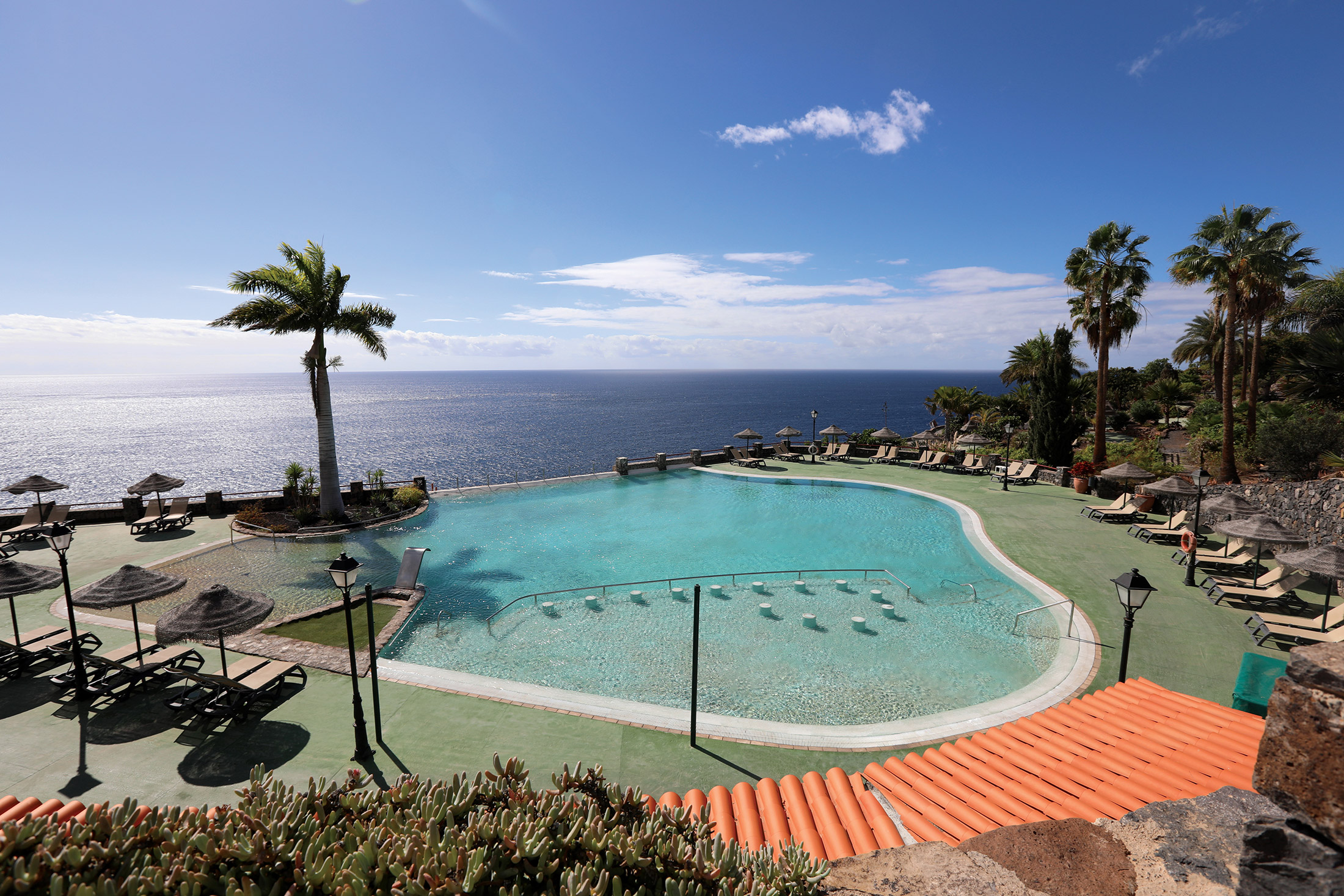
Stunning coastal location
-
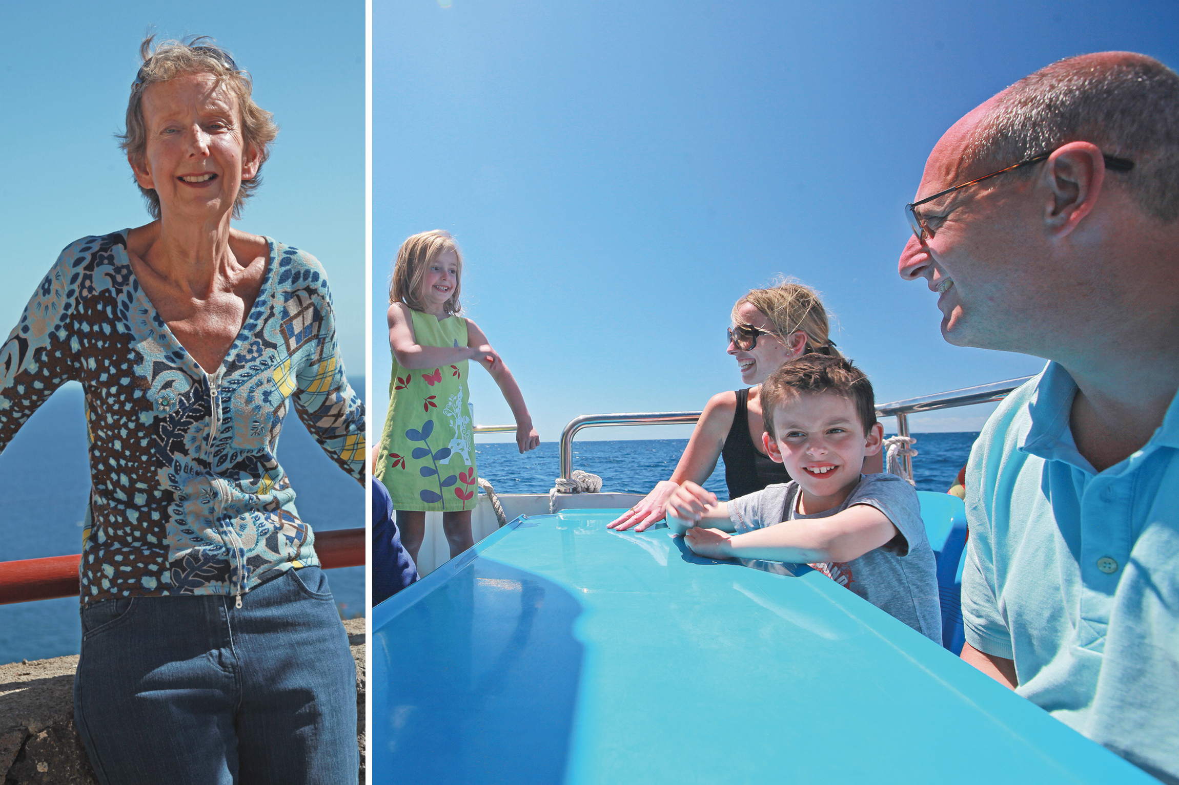
The world’s best seas for whale-watching
-
Fabulous near-tropical year-round climate
-
Europe’s only rainforest
-
Heaven for hikers
-
Totally unspoiled
Discover Playa de Santiago
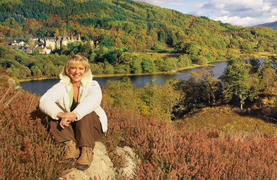
La Gomera is the second smallest island of the Canary archipelago, and it is surely one of the most beautiful. Here, set in award-winning botanical gardens, at the top of the island’s sun-baked southern cliffs, is the exclusive private resort of El Balcón de Santa Ana, offering a variety of superb holiday villas and apartments.
Not only is this the perfect resort for sun worshippers. It is also a superb base from which to explore the island’s charming villages, ports and coves. It is less than a mile west of the small fishing port of Playa Santiago, and 20 miles west of San Sebastian (La Gomera’s capital town).
La Gomera offers a wide variety of contrasting landscapes and climates. Of volcanic origin and roughly circular (around 15 miles in diameter), it rises to nearly 5,000 feet at the central peak of Garajonay, where the mountains catch the moisture from the trade wind clouds, creating a jungle climate that is rich and verdant. This contrasts with the warmer sun-baked cliffs and rocky bays at sea level.
The Garajonay National Park is so rich in wildlife that it enjoys UNESCO recognition and protection. Its slopes are criss-crossed by impeccably signposted footpaths, presenting varying levels of challenge to walkers.
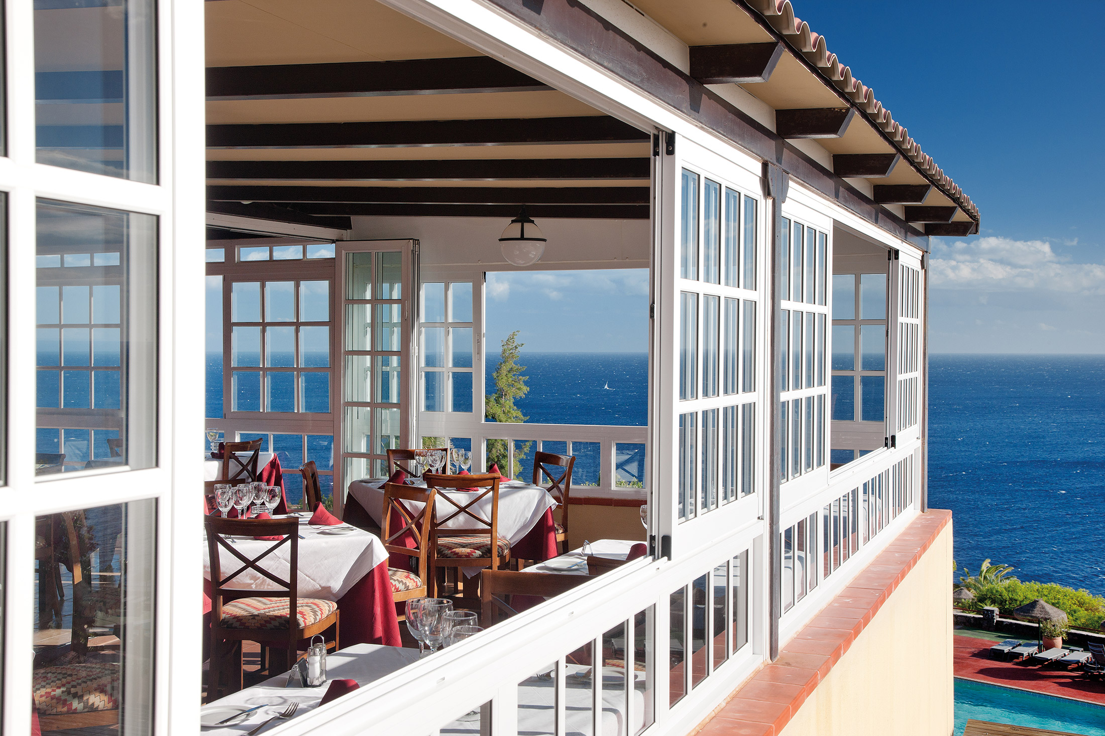
Shops and restaurants
Our on-site restaurant, Los Alisios, is located in the clubhouse, as is the main bar El Barco.
There’s a weekly barbeque and live music at the pool bar, which is also open during the day (weather permitting). It serves drinks, tapas, snacks and ice cream, as well as a full lunchtime menu.
The on-site mini supermarket is well stocked for all of your needs, whilst nearby Santiago has a reasonable selection of shops and restaurants.
On-site amenities
The clubhouse has a restaurant, bar and games room with pool tables. The reception and car-hire desk, DVD library and information room can also be found here, as well as the sauna, indoor heated pool and internet access (WiFi). Gym equipment is also available.
Outdoor facilities include:
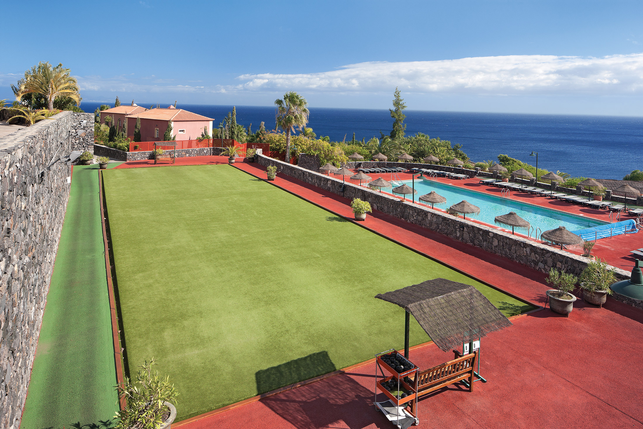
- a large recreational pool
- a solar-heated children’s pool
- a solar-heated rectangular pool
In addition to our Daily Telegraph award-winning botanic gardens, the grounds have:
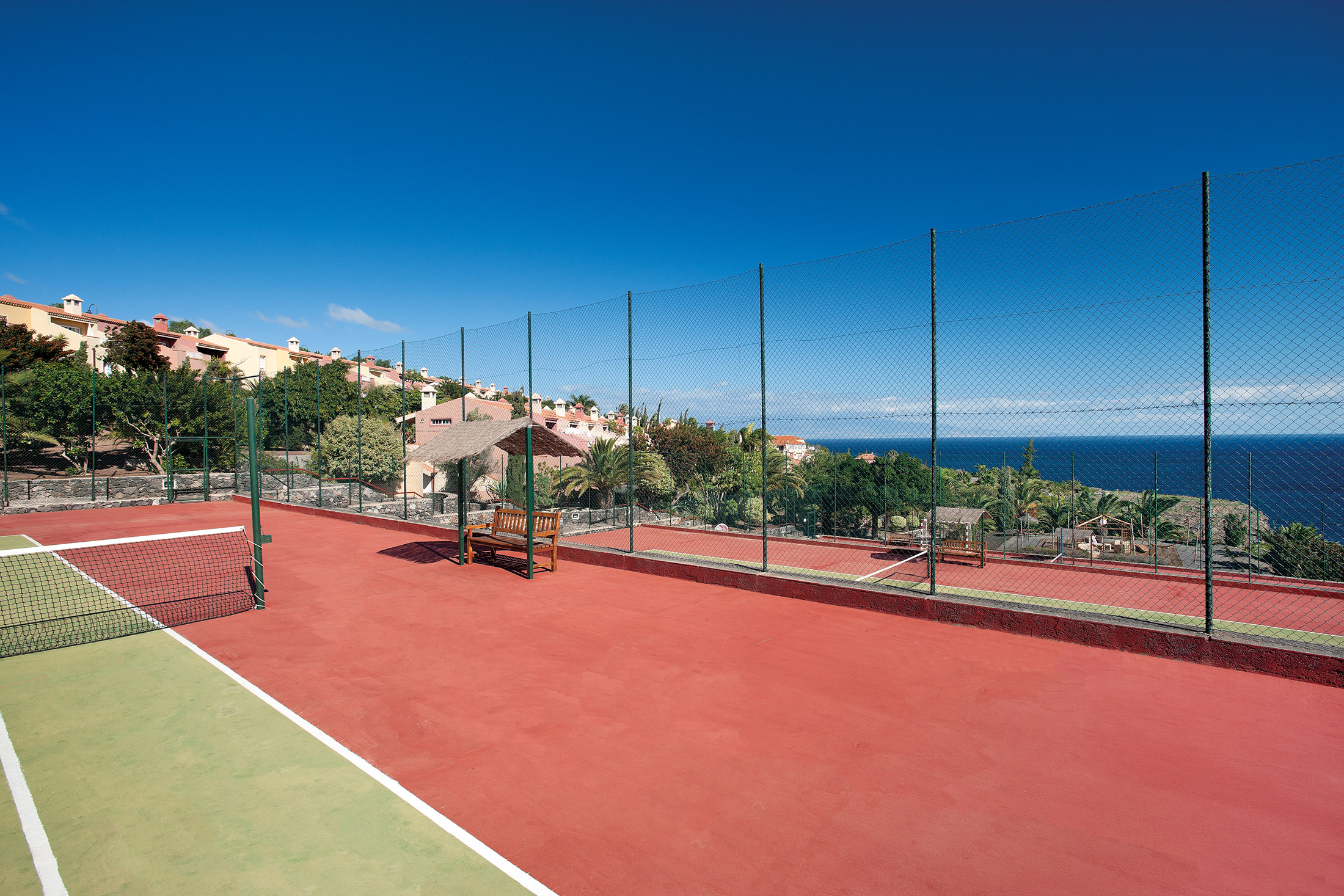
- three tennis courts
- a crazy golf course
- a bowling green
- a children’s play area
- a barbecue area
- table tennis
- pétanque and croquet
The nearby Hotel Tecina offers:
- an 18-hole golf course
- clubhouse with snack bar
- a pro shop and changing rooms
- buggy or trolley and club hire
- a practice range and chipping green with bunkers
- golf school with an English-speaking PGA professional (we have negotiated a special discount for guests)
El Balcón de Santa Ana’s stunning Atlantic views and glorious year-round microclimate are surely reasons enough to head for this small, but perfectly formed, Canary Island. But we’ve made sure there is plenty for guests in our 102 apartments and villas to do! You can swim, play tennis, drive yourselves nuts on the crazy golf course… enjoy a gentle game of boules, or perhaps a bit of croquet… or just relax with a drink, and take in the view. Don’t bother with a book though – you’ll never get round to reading it!
Properties in La Gomera

Location
HPB El Balcón de Santa Ana
Las Trincheras
Playa Santiago
La Gomera
Spain
38812
Tel: +44 800 230 0391
Email: details@hpb.co.uk
The laid-back little island of La Gomera is just a short distance by ferry from Tenerife, but the difference could not be more apparent.
You exchange the brashness of Los Cristianos for a tiny eco-kingdom, where low-rise hamlets, banana plantations, ferny rainforests and ancient laurels dominate.
In contrast to the fertile, verdant softness of the slopes and valleys are cloud-topped volcanic heights.
Because the island’s only around 15 miles in diameter, you can be sure that all attractions are nearby! We offer a number of excursions, including walking tours and coach trips.
We can arrange scuba diving for both the experienced and novices alike. Bicycles are also available for hire at the village of Playa Santiago, and there is a sailing school at San Sebastián.
There is spectacular walking to be found all over La Gomera, and the central Parque Nacional de Garajonay is no exception. Protected since 1982, it achieved UNESCO recognition in 1986.
It’s home to one of the world’s largest continuous areas of laurel forest (a habitat that has almost disappeared from Southern Europe and North Africa). The tranquil 3,984-hectare park also contains a multitude of other plant life, freshwater springs and stunning rock formations.
Things to do in La Gomera
Walks around El Balcón de Santa Ana
Read our HPB Feefo Reviews
HPB’s holiday booking service has been rated 4.9 out of 5 based on 14,772 customer reviews on Feefo
![]()
“Having a whale of a time”
Pauline WilsonI can say without reservation that HPB has been brilliant, and has enabled us to enjoy some fantastic family holidays