
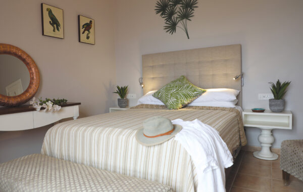
El Balcón de Santa Ana, Playa de Santiago, La Gomera
The world’s best seas for whale-watching
Open Gallery-
104 holiday apartments and villas in La Gomera
-
All with sea views
-
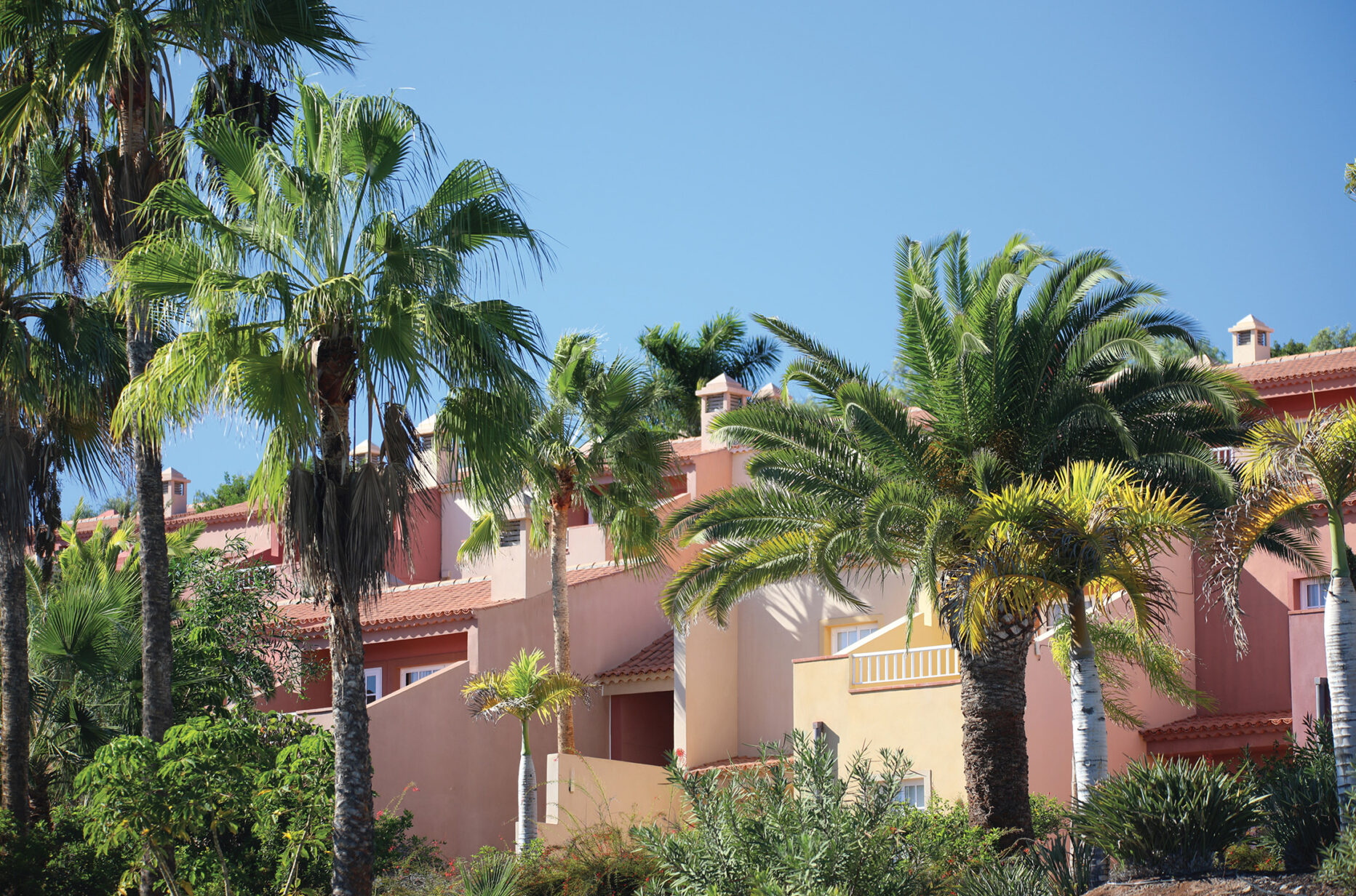
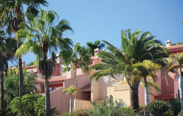
Beautiful displays of bougainvillea
-
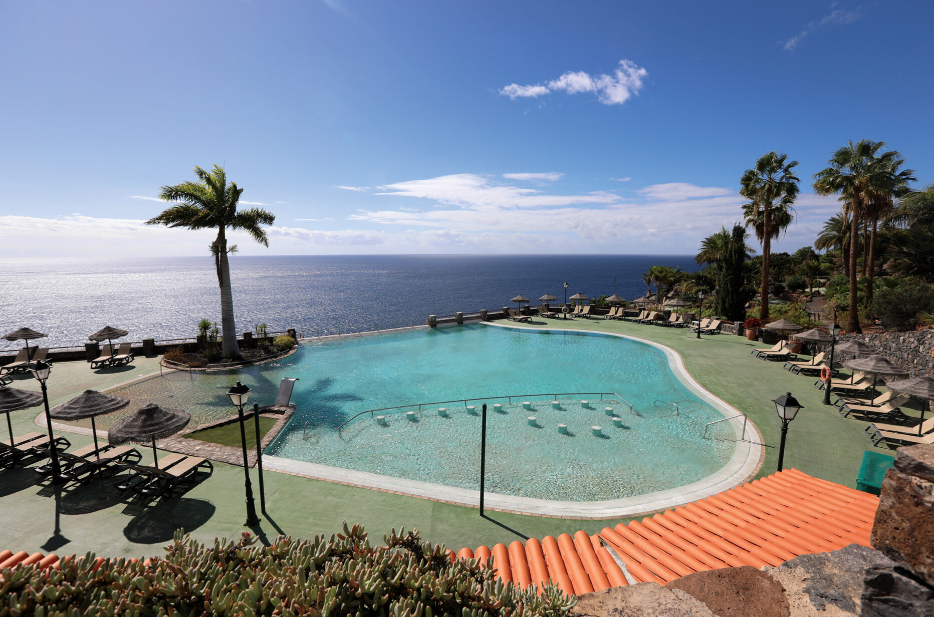
Stunning coastal location
-
The world’s best seas for whale-watching
-
Fabulous near-tropical year-round climate
-
Europe’s only rainforest
-
Heaven for hikers
-
Totally unspoiled
Discover Playa de Santiago
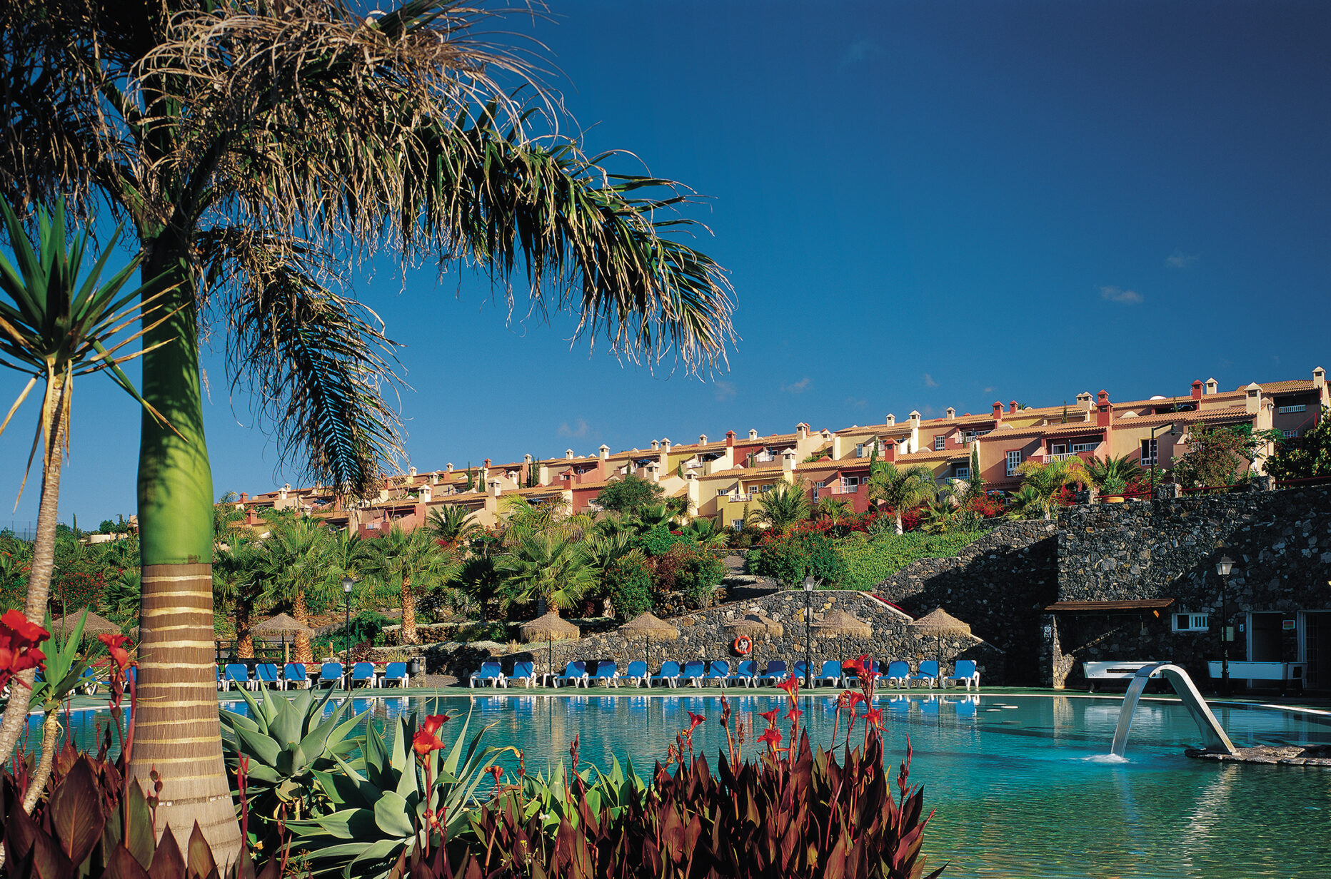
La Gomera is the second smallest island of the Canary archipelago, and it is surely one of the most beautiful. Here, set in award-winning botanical gardens, at the top of the island’s sun-baked southern cliffs, is the exclusive private resort of El Balcón de Santa Ana, offering a variety of superb holiday villas and apartments.
Not only is this the perfect resort for sun worshippers. It is also a superb base from which to explore the island’s charming villages, ports and coves. It is less than a mile west of the small fishing port of Playa Santiago, and 20 miles west of San Sebastian (La Gomera’s capital town).
La Gomera offers a wide variety of contrasting landscapes and climates. Of volcanic origin and roughly circular (around 15 miles in diameter), it rises to nearly 5,000 feet at the central peak of Garajonay, where the mountains catch the moisture from the trade wind clouds, creating a jungle climate that is rich and verdant. This contrasts with the warmer sun-baked cliffs and rocky bays at sea level.
The Garajonay National Park is so rich in wildlife that it enjoys UNESCO recognition and protection. Its slopes are criss-crossed by impeccably signposted footpaths, presenting varying levels of challenge to walkers.
Shops and restaurants
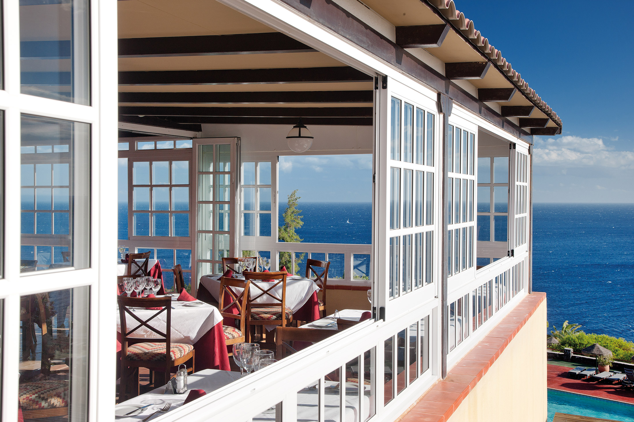
Our on-site restaurant, Los Alisios, is located in the clubhouse, as is the main bar El Barco.
There’s a weekly barbeque and live music at the pool bar, which is also open during the day (weather permitting). It serves drinks, tapas, snacks and ice cream, as well as a full lunchtime menu.
The on-site mini supermarket is well stocked for all of your needs, whilst nearby Santiago has a reasonable selection of shops and restaurants.
On-site amenities
The clubhouse has a restaurant, bar and games room with pool tables. The reception and car-hire desk, DVD library and information room can also be found here, as well as the sauna, indoor heated pool and internet access (WiFi). Gym equipment is also available.
Outdoor facilities include:
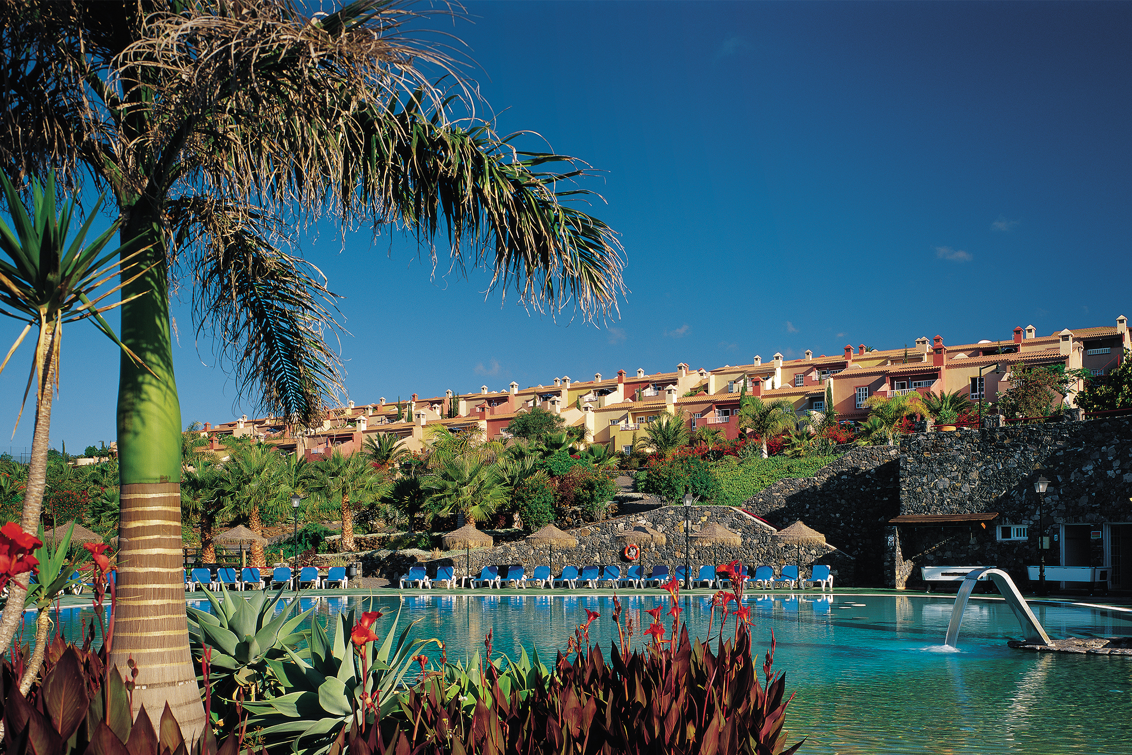
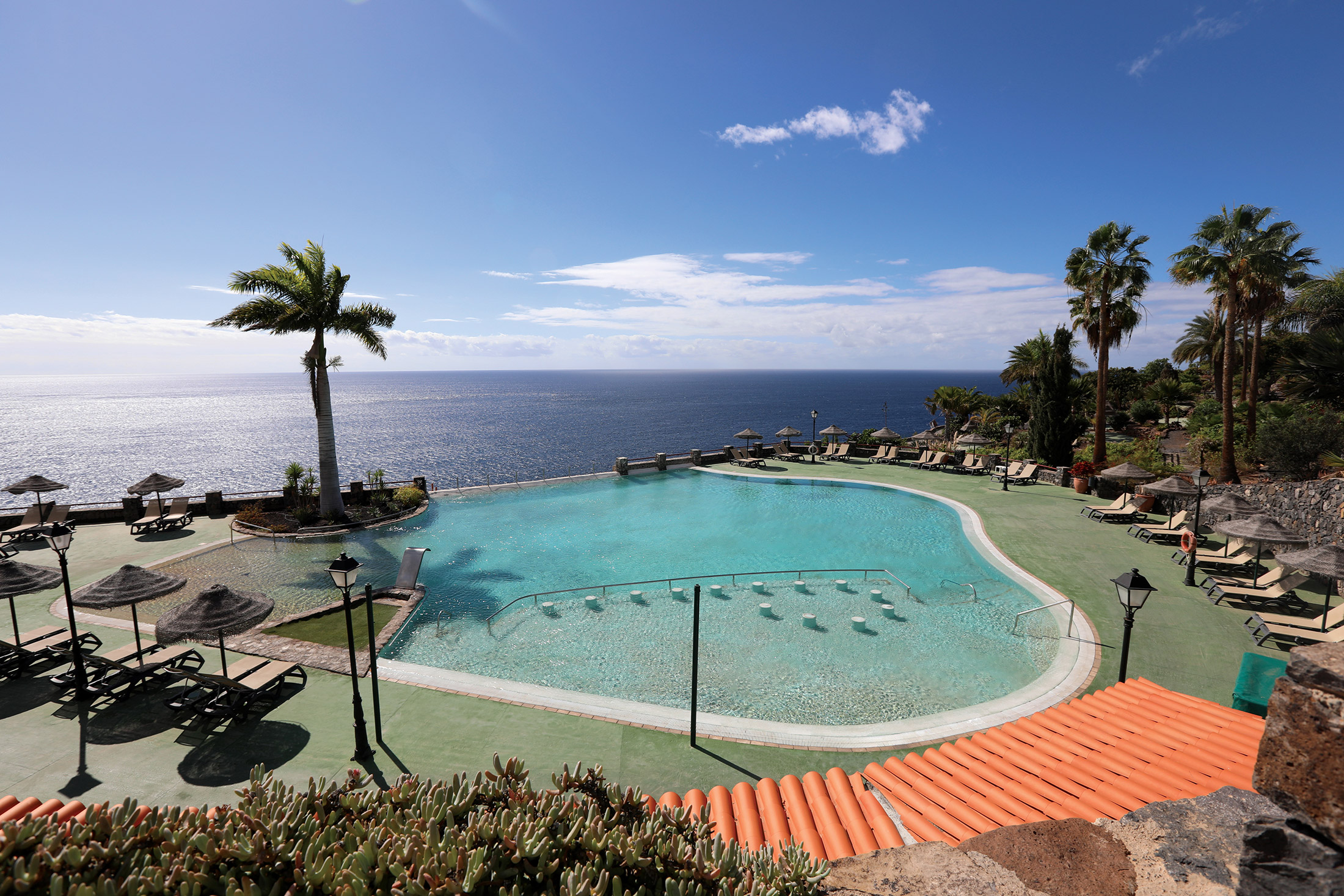
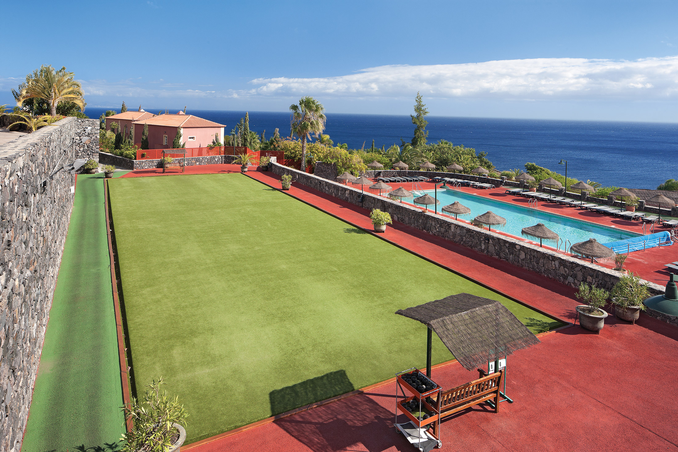
- a large recreational pool
- a solar-heated children’s pool
- a solar-heated rectangular pool
In addition to our Daily Telegraph award-winning botanic gardens, the grounds have:
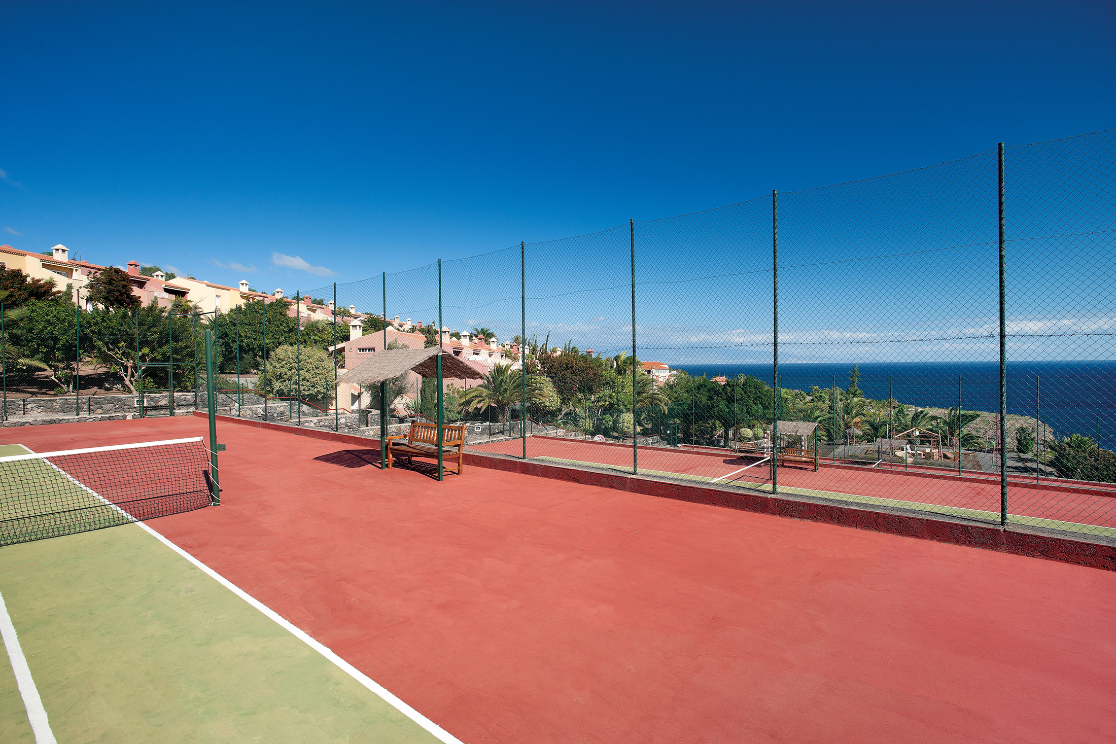
- three tennis courts
- a crazy golf course
- a bowling green
- a children’s play area
- a barbecue area
- table tennis
- pétanque and croquet
The nearby Hotel Tecina offers:
- an 18-hole golf course
- clubhouse with snack bar
- a pro shop and changing rooms
- buggy or trolley and club hire
- a practice range and chipping green with bunkers
- golf school with an English-speaking PGA professional (we have negotiated a special discount for guests)
El Balcón de Santa Ana’s stunning Atlantic views and glorious year-round microclimate are surely reasons enough to head for this small, but perfectly formed, Canary Island. But we’ve made sure there is plenty for guests in our 102 apartments and villas to do! You can swim, play tennis, drive yourselves nuts on the crazy golf course… enjoy a gentle game of boules, or perhaps a bit of croquet… or just relax with a drink, and take in the view. Don’t bother with a book though – you’ll never get round to reading it!
Properties in La Gomera
Apartments
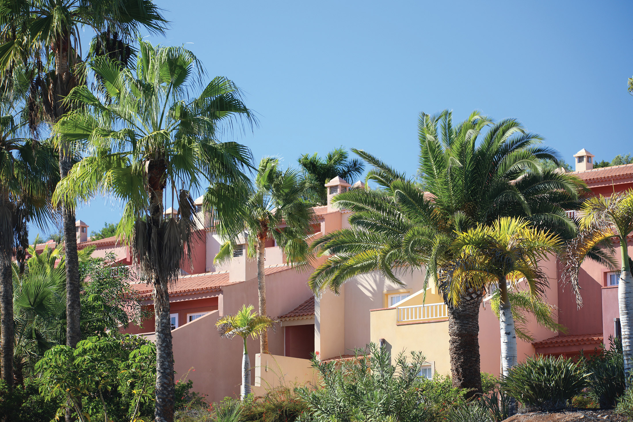
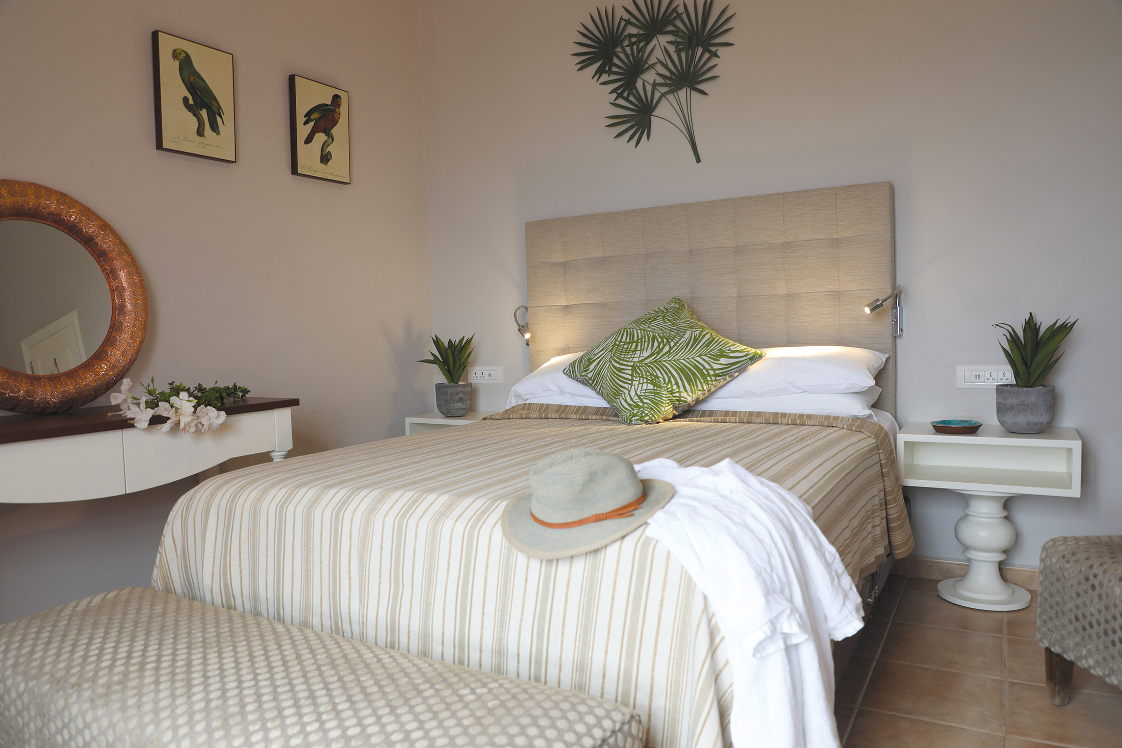
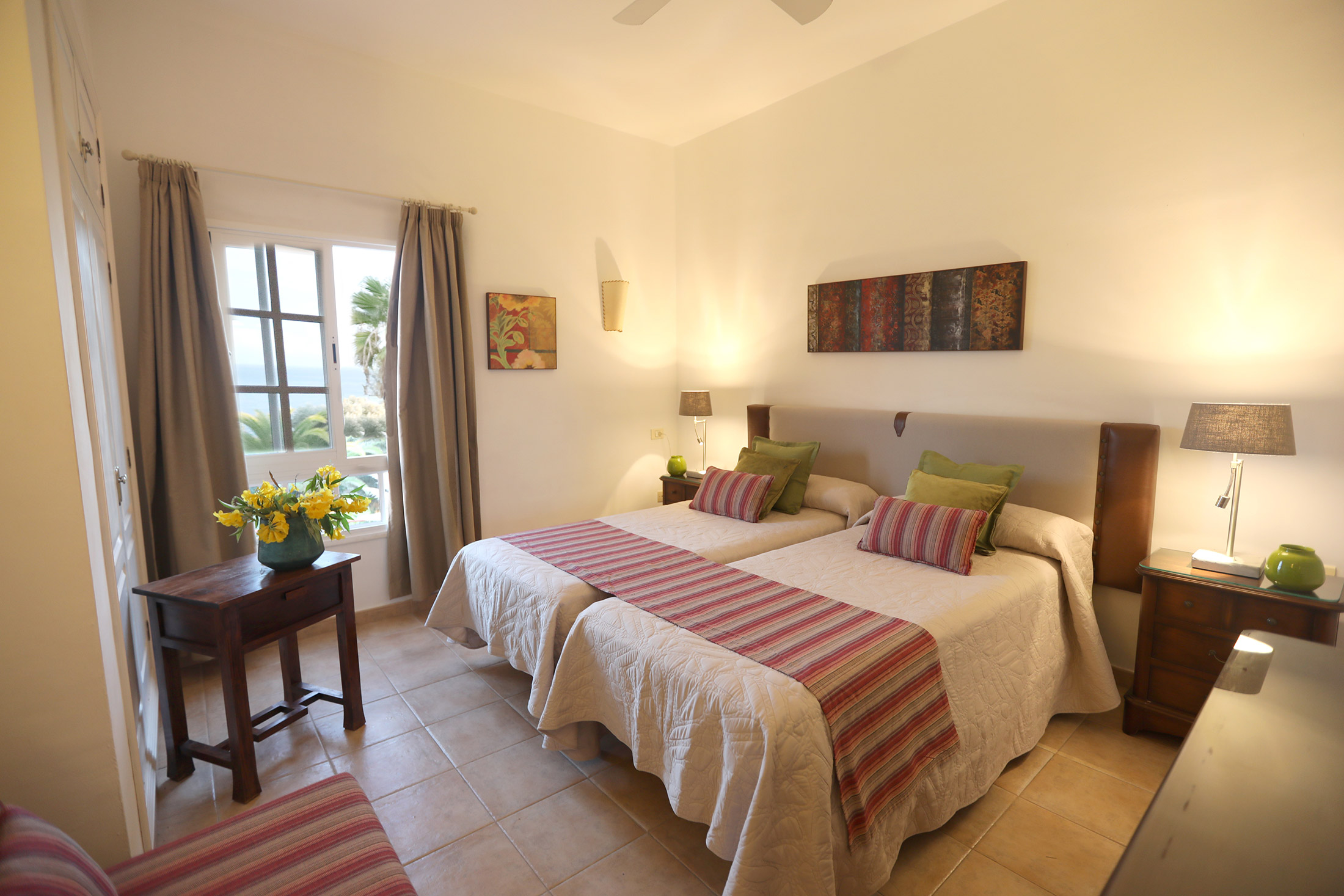
El Balcón de Santa Ana, on the south coast of La Gomera, comprises 94 apartments that enjoy fantastic views of the Atlantic Ocean. The apartments are either one-bedroom properties, sleeping a maximum of three people, or two-bedroom properties, the majority of which have the capacity to sleep five people.
Apartments
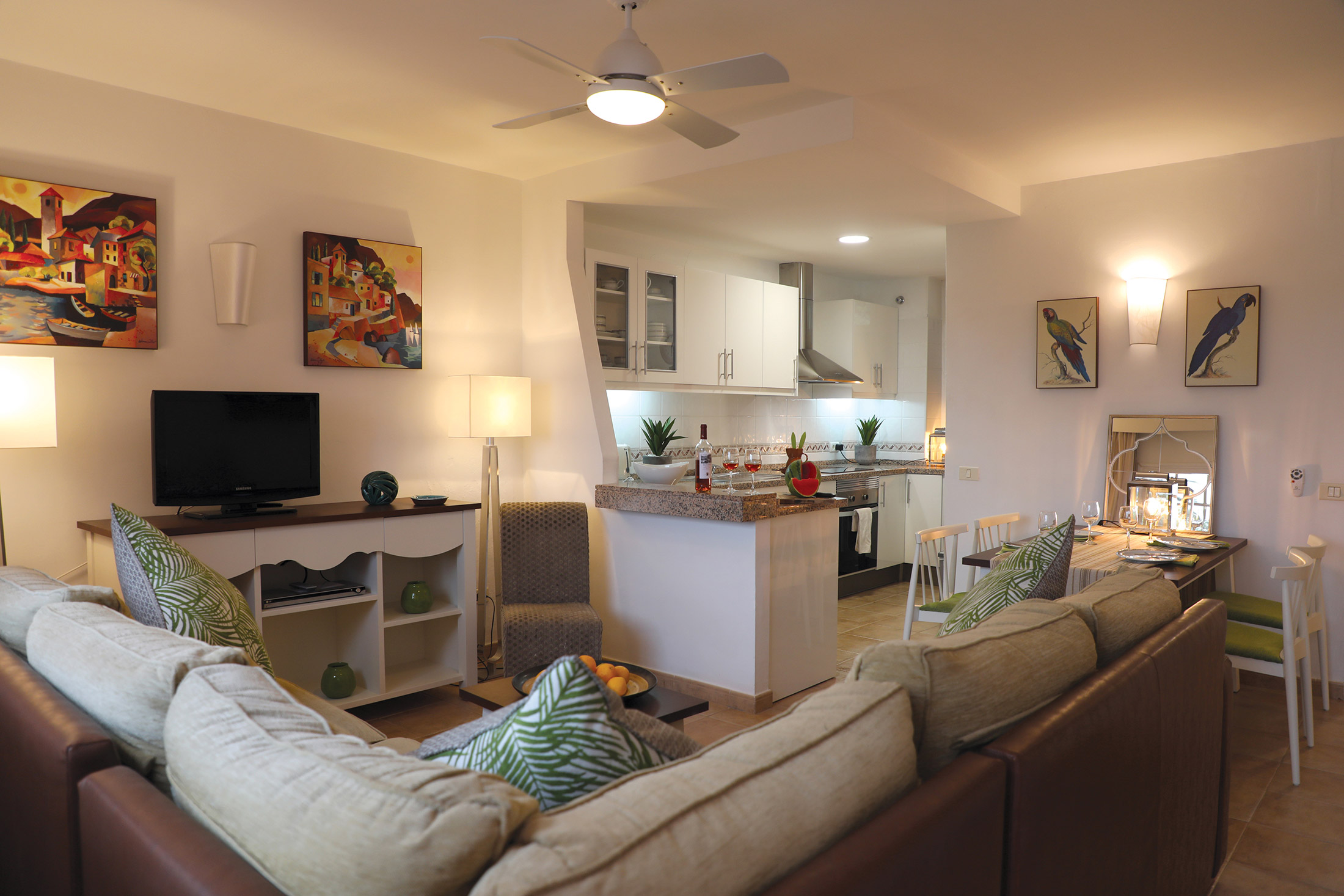
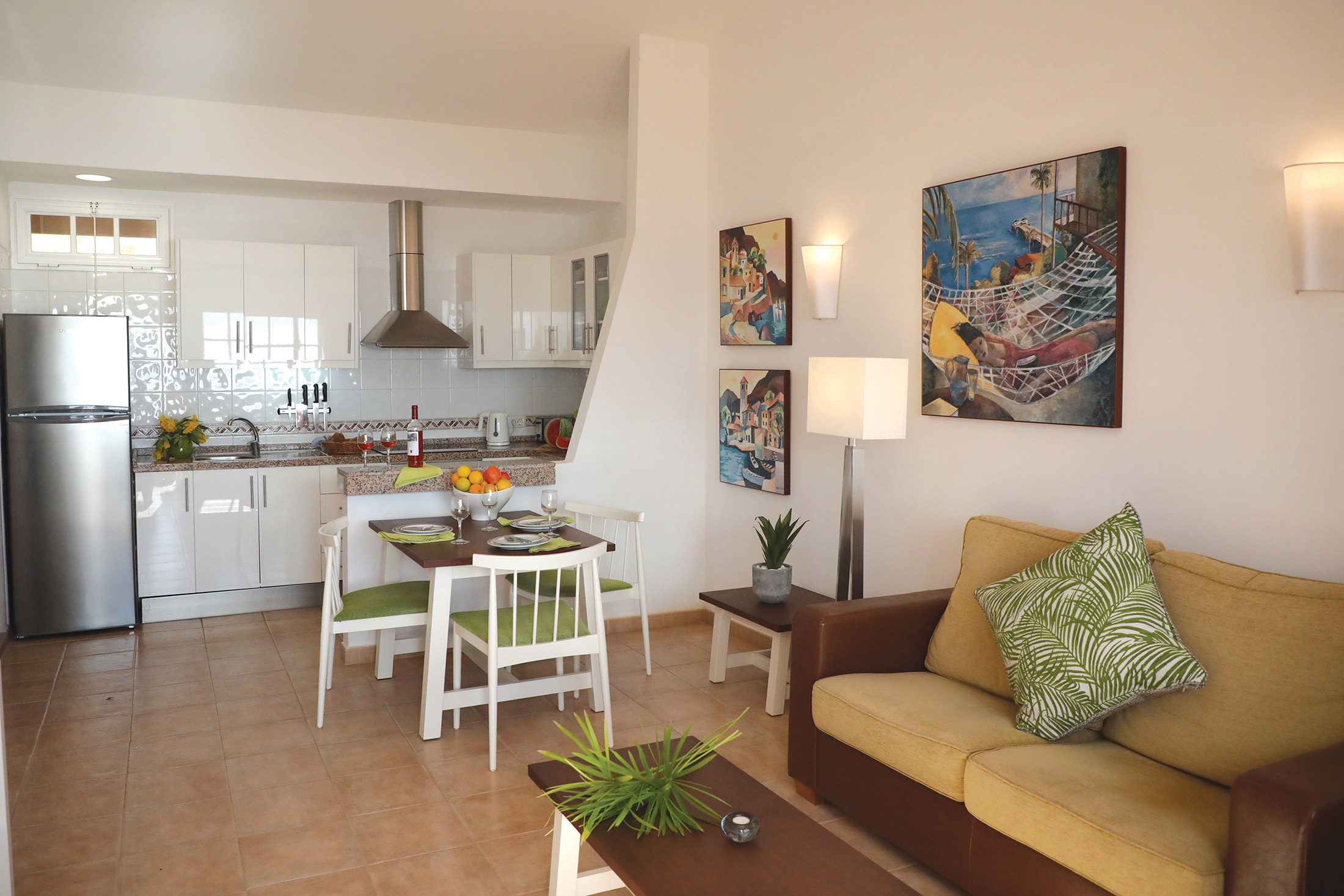
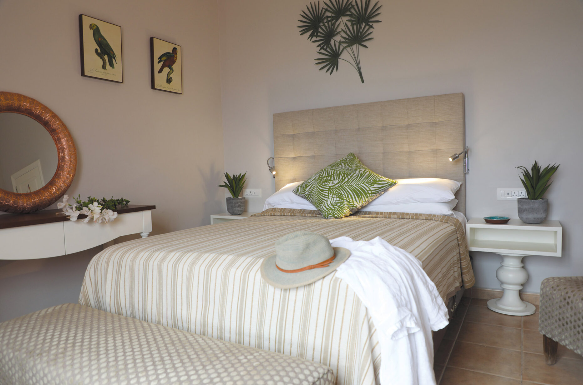
Book a tourThe apartments of El Balcón de Santa Ana rise up on the coastal cliffs to the south of the island, looking out over the glinting Atlantic Ocean. Though the site is sloping, a comprehensive ramp system has been installed to make it as accessible as possible for wheelchairs. There is reasonably good access to the ground-floor apartments, but four properties especially have been well adapted for accompanied wheelchair access. The Santa Ana apartments are a good choice for those travelling as a couple, or for small family groups; one-bedroom apartments are able to sleep a maximum of three and the majority of two-bedroom apartments can sleep five guests, though two of the two-bedroom apartments can only accommodate a maximum of four. All the apartments are single-storey and the first-floor apartments have balconies, most of which provide good views. The ground-floor apartments have access to a terrace area reached via doors from the living room, so you can sit out and enjoy warm evenings together. One of the pools is positioned at the foot of the apartments and garden, and this is in a beautiful position to overlook the endless expanse of the Atlantic Ocean. The apartment blocks are modern and practical, with all two-bedroom properties located on the ground floor while all the one-bedroom units occupy the first floor. Each room is furnished to a high standard and an open-plan living area has comfortable, homely furnishings.
Facilities/equipment
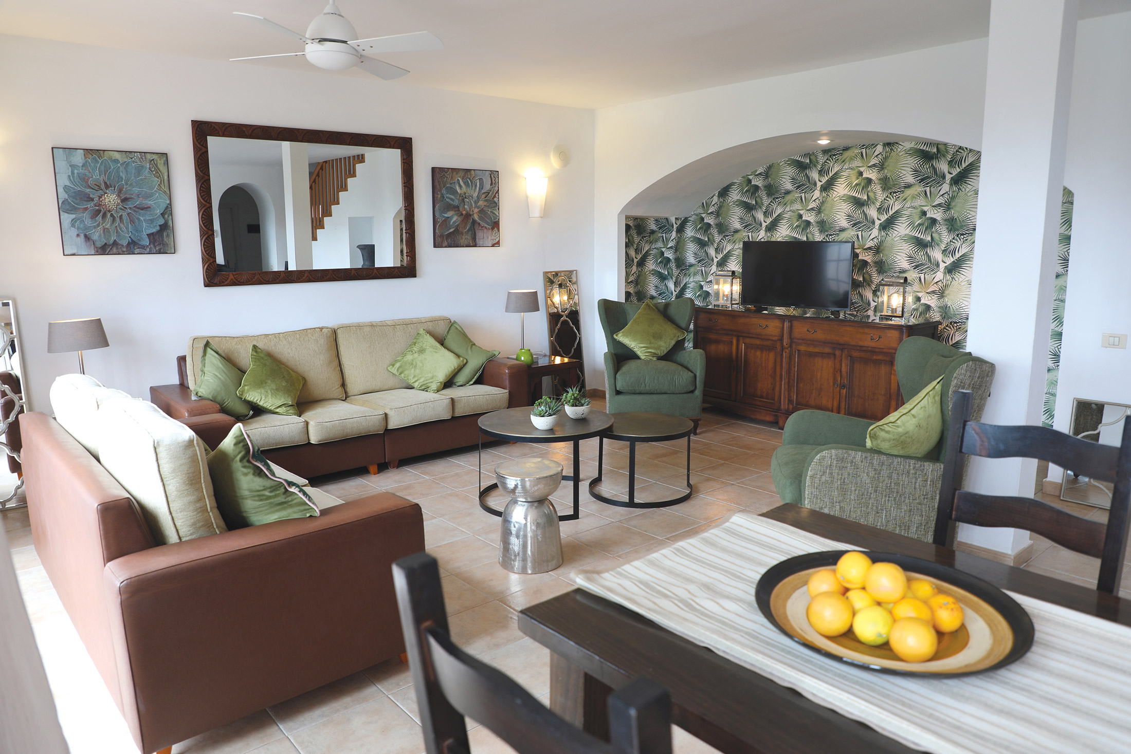
All apartments are well furnished with all you will need during your stay, and a kitchen equipped with all the essentials. Inviting living spaces allow you to enjoy an evening in with family. All bedrooms sleep two in either a double or twin beds, and extra sleeping facilities are provided for those apartments that can house extra guests. All of the first-floor apartments have a balcony and the ground-floor properties have a terrace area.
Villas
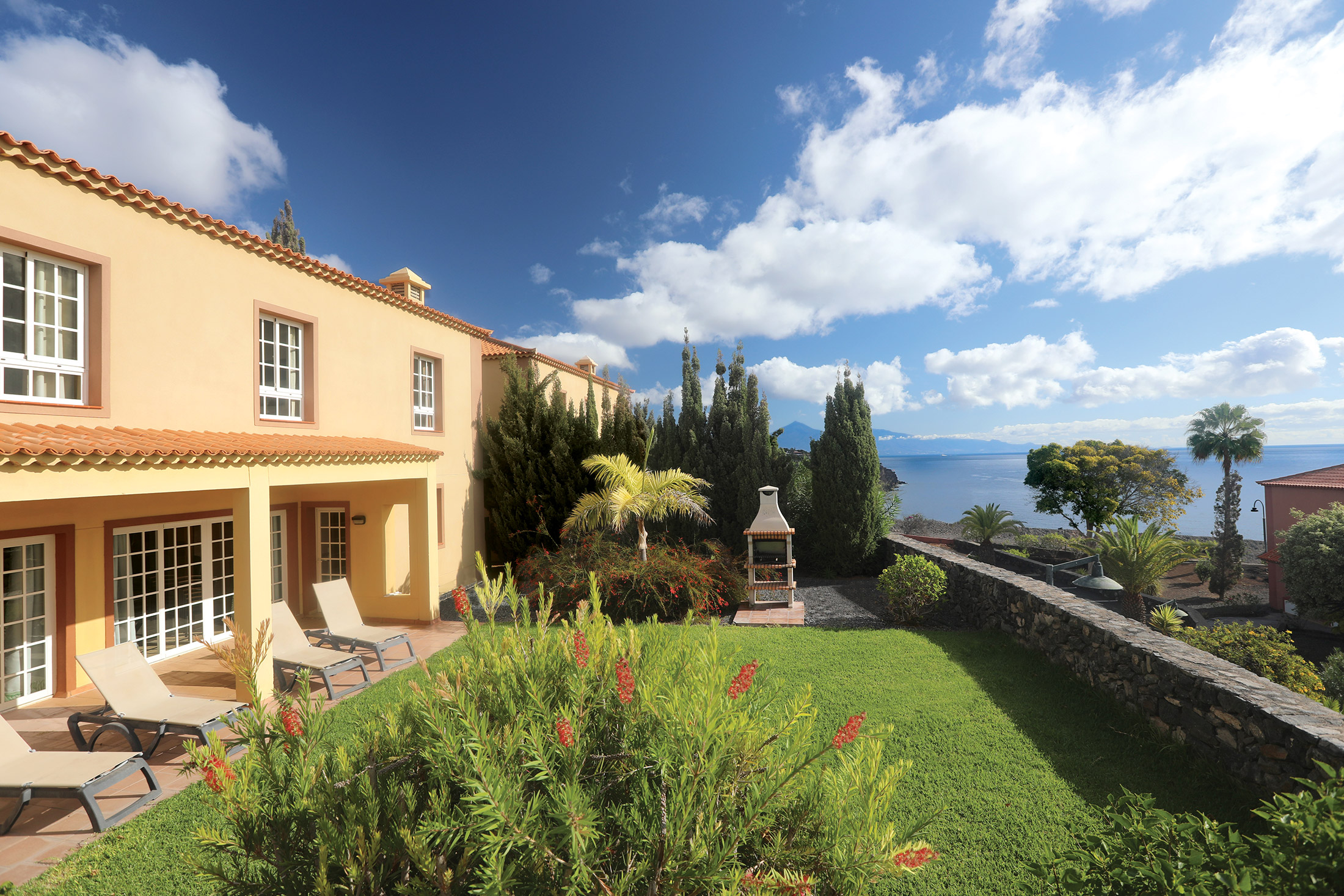
The villa properties are the luxury choice at El Balcón de Santa Ana. Six three-bedroom villas sit in the grounds towards the east of the site and these share the use of a solar-heated swimming pool. There are a further two four-bedroom villas which each have their own private solar-heated pool. The Santa Ana villas are a great choice for groups and, depending on the size of the property, can accommodate between six and nine people.
Villas
Book a tourThe luxurious villa properties are great for if you are gathering a big group of family or friends for a relaxing holiday. The villas are all slightly separate from the main apartment blocks, but are still close enough to the clubhouse and on-site restaurant to make use of the communal facilities. The six three-bedroom villas are two-storey and surround a heated pool which they share use of, and they each benefit from their own outside terrace/garden area too. The two four-bedroom villas are standalone properties for that extra touch of privacy, and these each have their own exclusive, solar-heated swimming pool for added luxury. These two villas both have lovely patio/garden areas, as well as brick-and-stone barbecues, for those peaceful evenings spent together outdoors. All eight of the villa properties are large and spacious with modern interiors and elegant furnishings.
Facilities/equipment
All of the villas are a good size, with spacious living areas and fully furnished rooms. The kitchens in each are roomy and fully equipped with everything you will need during your stay. All have a dishwasher, but the kitchens in the four-bed villas go that extra step and provide a washing machine too. A Z-bed is provided in each of the villas.
Location
HPB El Balcón de Santa Ana
Las Trincheras
Playa Santiago
La Gomera
Spain
38812
Tel: +44 800 230 0391
Email: details@hpb.co.uk
The laid-back little island of La Gomera is just a short distance by ferry from Tenerife, but the difference could not be more apparent.
You exchange the brashness of Los Cristianos for a tiny eco-kingdom, where low-rise hamlets, banana plantations, ferny rainforests and ancient laurels dominate.
In contrast to the fertile, verdant softness of the slopes and valleys are cloud-topped volcanic heights.
Because the island’s only around 15 miles in diameter, you can be sure that all attractions are nearby! We offer a number of excursions, including walking tours and coach trips.
We can arrange scuba diving for both the experienced and novices alike. Bicycles are also available for hire at the village of Playa Santiago, and there is a sailing school at San Sebastián.
There is spectacular walking to be found all over La Gomera, and the central Parque Nacional de Garajonay is no exception. Protected since 1982, it achieved UNESCO recognition in 1986.
It’s home to one of the world’s largest continuous areas of laurel forest (a habitat that has almost disappeared from Southern Europe and North Africa). The tranquil 3,984-hectare park also contains a multitude of other plant life, freshwater springs and stunning rock formations.
Things to do in La Gomera
The bright lights of San Sebastián
Take a boat trip to San Sebastián, the port town and capital that Christopher Columbus visited in 1492 before setting out on the voyage for which he is best known. (A notice at the local well records how the explorer drew its water to ‘baptise America’.)
The Museo Casa Colón charts the last five centuries of the Canary Islands and their relationship with America. Visitors can learn about this rich history through maps, the permanent exhibition, a library and a centre for special studies.
San Sebastián itself is quiet, friendly and well kept. With a population of 7,000 or so, it is the island’s largest municipality. Its handful of shops, restaurants and bars are all within easy walking distance, making it an ideal destination for a light lunch, a reviving glass of wine and people watching in the central square.
Other attractions include La Galería de Arte Luna, located in a restored 17th-century building in the old town, the Iglesia de Nuestra Señora de la Asunción, and the Torre del Conde. The Castilian-style tower was built in 1447 as part of the town’s defences and is now a museum.
Whale watching and exploring the island's past
On clear days, Valle Gran Rey to the west offers a panoramic view of the neighbouring island of El Hierro. As well as its popular beaches, shops and restaurants, the region holds many reminders of La Gomera’s fascinating past. These include the San Nicolás de Tolentino and La Adoración de los Reyes hermitages, which date back to the early 16th century.
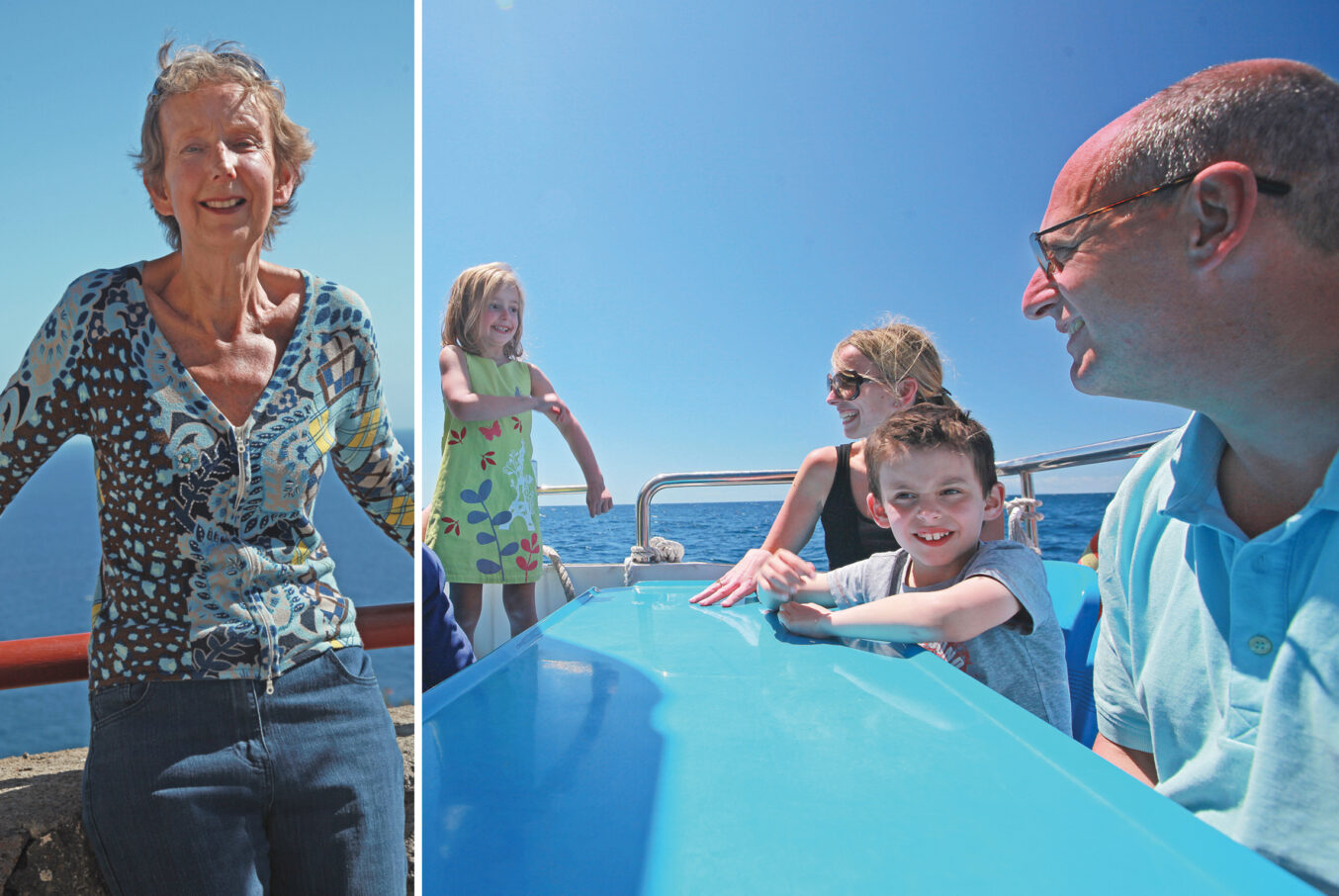
For something completely different, head for the sea and some whale watching. OCEANO, based in Valle Gran Rey, provides tours to spot whales and dolphins in a way that respects the animals and their environment.
Or head to Mirador de Abrante a glass bay window overlooking the Atlantic Ocean with exceptional views of Agulo and Mount Teide in Tenerife.
Hidden in Agulo, it is an architectural masterpiece, a projection of glass, designed by the architect José Luis Bermejo, 625 metres above the sea level. It offers a great view of the town of Agulo and the island of Tenerife, a spectacle for the senses.
El Mirador de Abrante has a tourist information service and a restaurant. Enjoy the magnificent views while tasting local tapas and creative international cuisine with Canarian flavour at the Gastrobar – Abrante.
Blog
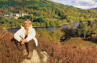
Join Sue Barker as she explores our Holiday Locations
Posted by Lucie Davies on 10 March 2025
Duration: 00:02:00
Read moreDuration: 00:02:00
Read more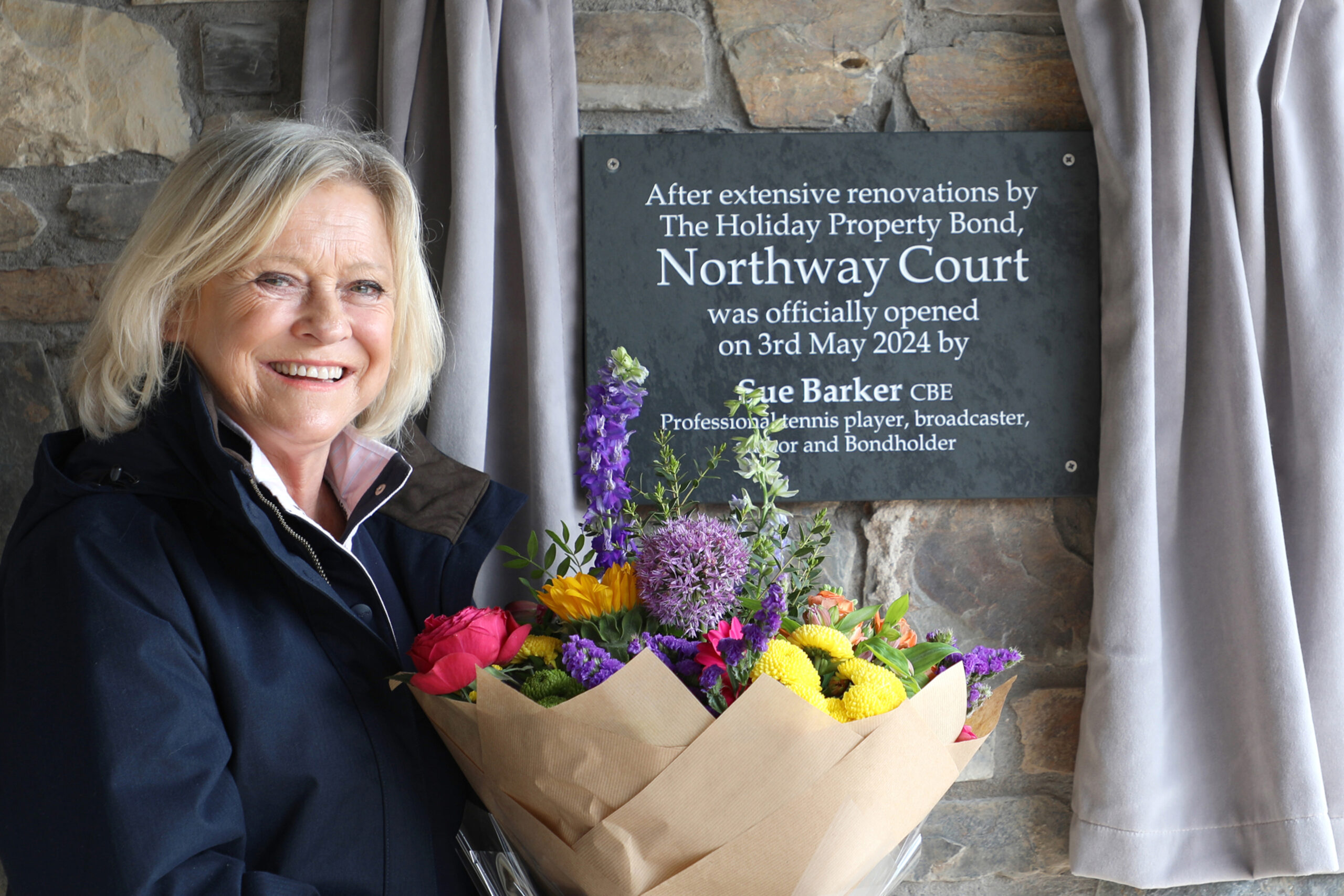
Sue Barker CBE officially opens HPB's newest site, Northway Court on the stunning North Devon coast
Posted by Katy Peck on 15 May 2024
Duration: 00:02:00
Read moreDuration: 00:02:00
Read more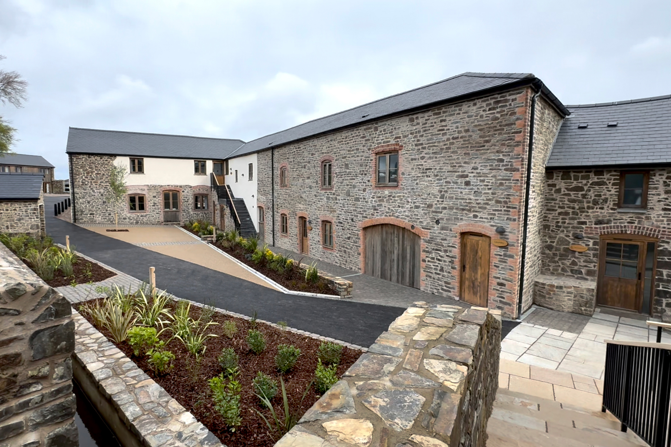
A Second Slice of Devon Heaven
Posted by Katy Peck on 3 May 2024
Since 2002, the Holiday Property Bond has owned Lower Knapp Farm near Honiton, south Devon: 16 beautiful holiday units deep in the heart of the bucolic tranquillity of the Devonshire countryside.
Read moreSince 2002, the Holiday Property Bond has owned Lower Knapp Farm near Honiton, south Devon: 16 beautiful holiday units deep in the heart of the bucolic tranquillity of the Devonshire countryside.
Read moreView all the latest articles from HPB
Read moreWalks around El Balcón de Santa Ana
Read our HPB Feefo Reviews
HPB’s holiday booking service has been rated 4.9 out of 5 based on 14,772 customer reviews on Feefo
![]()
What people like you say about HPB
“Having a whale of a time”
Pauline WilsonI can say without reservation that HPB has been brilliant, and has enabled us to enjoy some fantastic family holidays
