Constant, Dordogne, France
Hilltop position with magnificent views of glorious Dordogne countryside
Open Gallery-
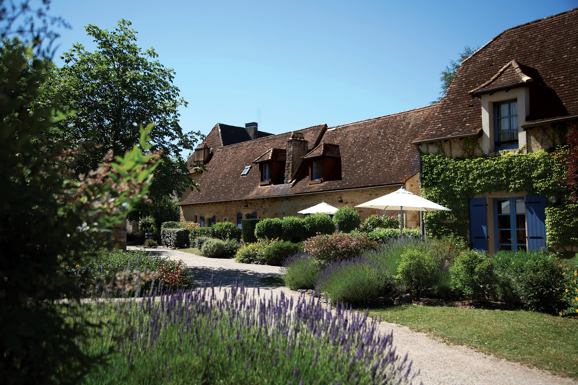
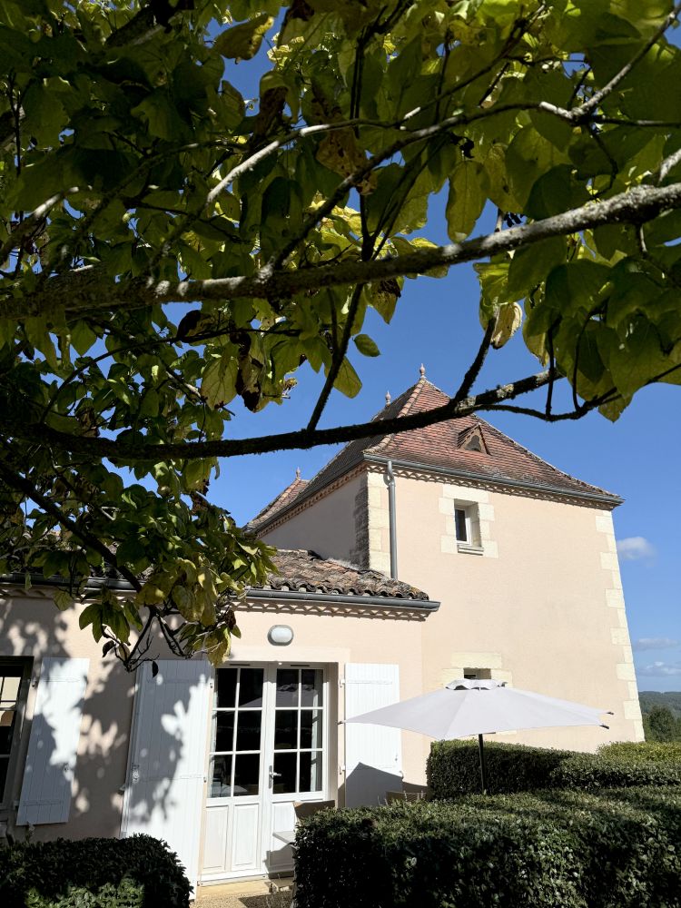
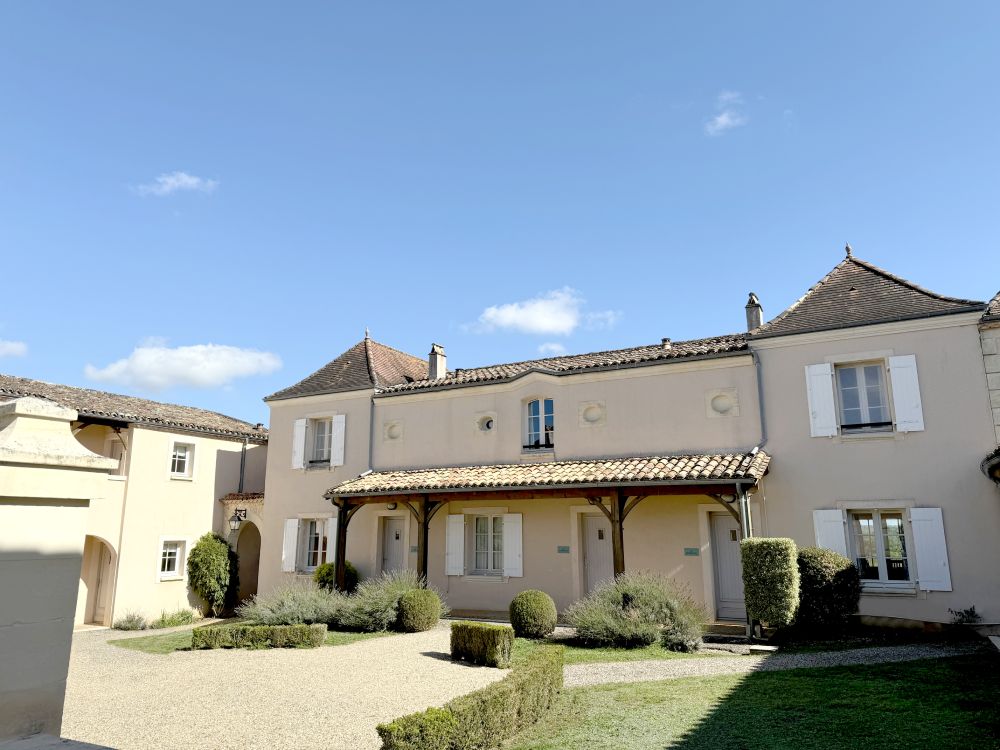
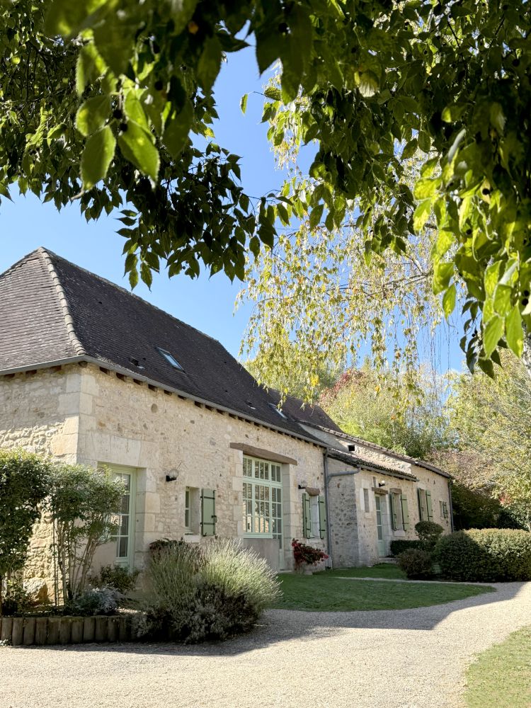
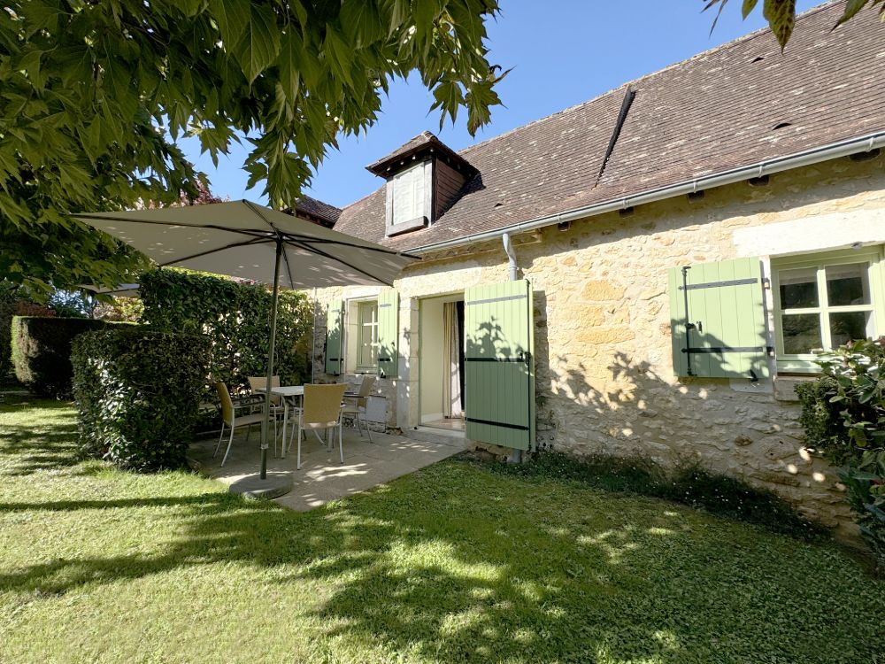
60 apartments and cottages in a beautifully restored, ancient French hamlet
-
Hilltop position with magnificent views of glorious Dordogne countryside
-
A wealth of stunning châteaux to visit
-
Wine, truffles... and French cuisine at its finest
-
Fantastic walking country
-
Beautiful little villages and towns, all a stone's throw away
Discover Dordogne
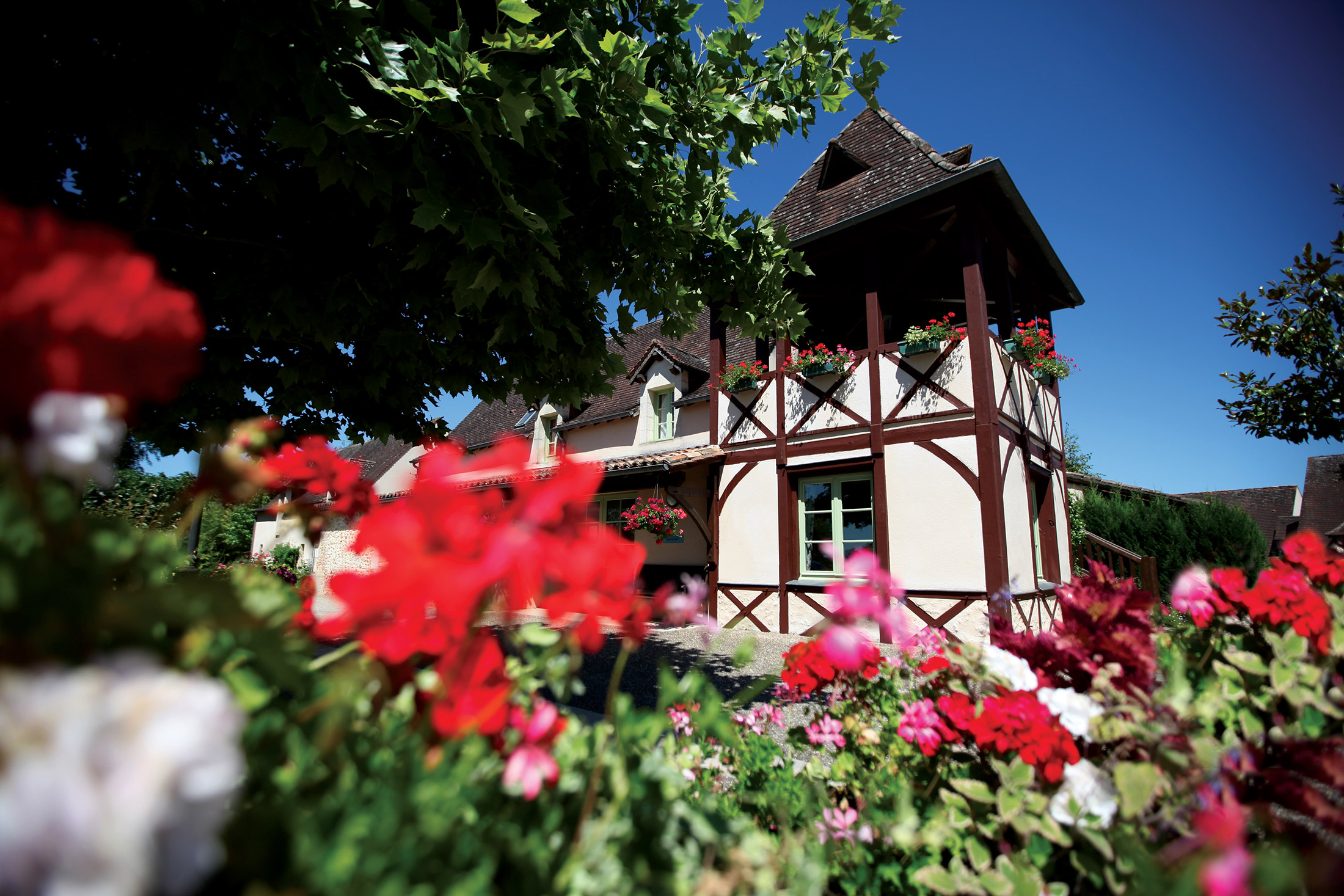
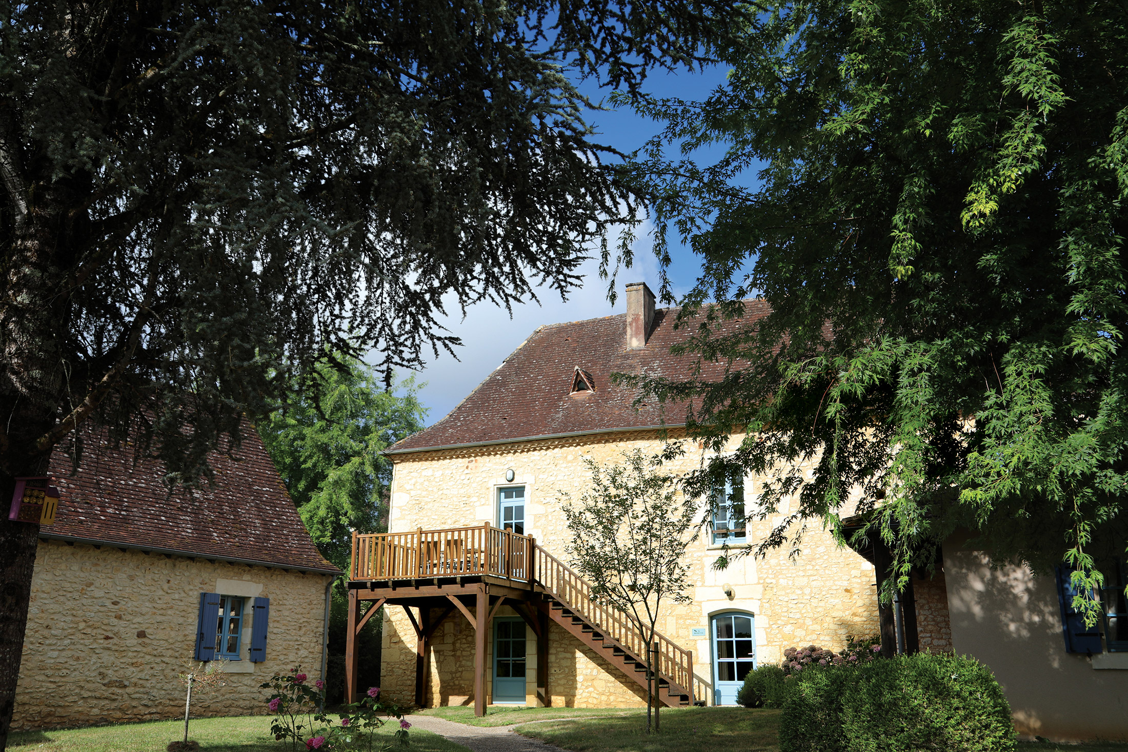
The Dordogne boasts some of France’s most attractive countryside, with gentle wooded slopes, rich farmland, wide boulder-strewn rivers and enchanting fairytale castles. Here, close to the fascinating town of Bergerac and the magnificent River Dordogne, is the old hamlet of Constant. The hamlet has now been rebuilt in the traditional Périgord style to provide holiday cottages and apartments that combine charming character with modern comforts.
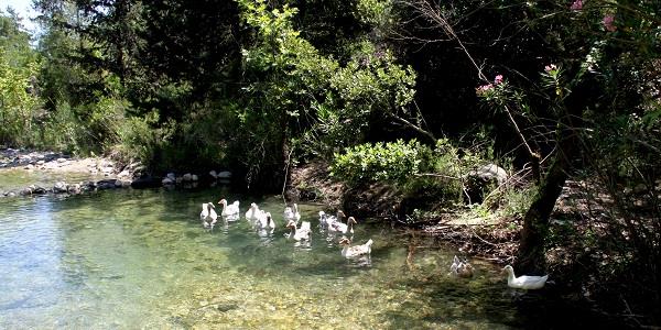
The Périgord region is not just renowned for its gastronomy and its vineyards. It also boasts more than 1,000 castles and manor houses; medieval towns and churches; caves, troglodyte villages and rock shelters. Plus, it features breathtaking natural sites and unique fauna and flora, including wild orchids and a huge variety of birds which can be observed close to Constant.
The beautiful town of Bergerac, situated on the River Dordogne, is 13 miles from Constant. Famous for its tobacco, wine, and – of course – for Cyrano de Bergerac, it has many excellent shops, bars and restaurants.
The city of Périgueux is also within easy reach of Constant and is well worth a visit to see its Byzantine style cathedral, magnificent Renaissance houses, quaint cobbled alleys and boutiques.
Eat and drink to your heart’s content
Wine-lovers will be in heaven here, since Bordeaux and Bergerac are a stone’s throw from Constant. However, the area’s cuisine is just as impressive. You’ll find foie gras and duck can be seen on most restaurant menus. And of course, the Dordogne is also famous for its truffles.
Visit picturesque Bergerac
Situated on the bank of the Dordogne river, this town has more to offer than just great wine. Bergerac is charming, full of fantastic restaurants, unique boutiques and interesting museums. The old town is the most fascinating part of Bergerac, but keep a look out for the two statues of Cyrano de Bergerac, the subject of the well-known play – though the actual person never lived in the town!
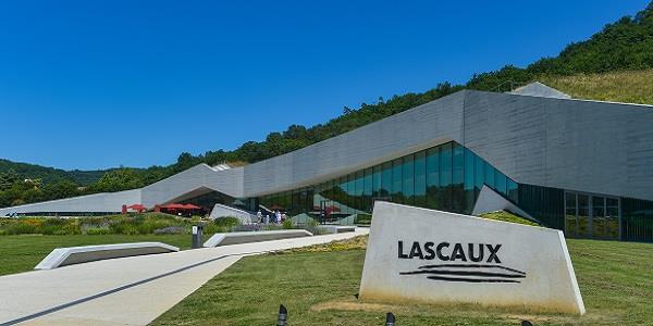
Gaze upon French prehistoric art
The Dordogne region is one of the best places to see prehistoric cave paintings. These fascinating works of art reveal how the prehistoric French lived, with most depicting animals which are now extinct, including woolly mammoths and aurochs. Lascaux II, Font de Gaume and Rouffignac are the best places to see the paintings, and are well worth a visit.
Admire the stunning architecture
Dordogne’s turbulent past is evident from its architecture and the many different châteaux and castles. We recommend visiting Château de Beynac and Château de Bannes; both look like something out of a French fairytale.
Be sure to see some bastides too (medieval fortified towns and villages). Monpazier is one of the best examples of a bastide. There are lovely villages and towns wherever you go in the Dordogne, so you won’t have any trouble finding somewhere to explore.
Long-stay holiday
Want to enjoy this beautiful hamlet for more than a week? Well you’re in luck, as we offer concessionary long-stay holidays too. Please see our brochure or contact us for more details.
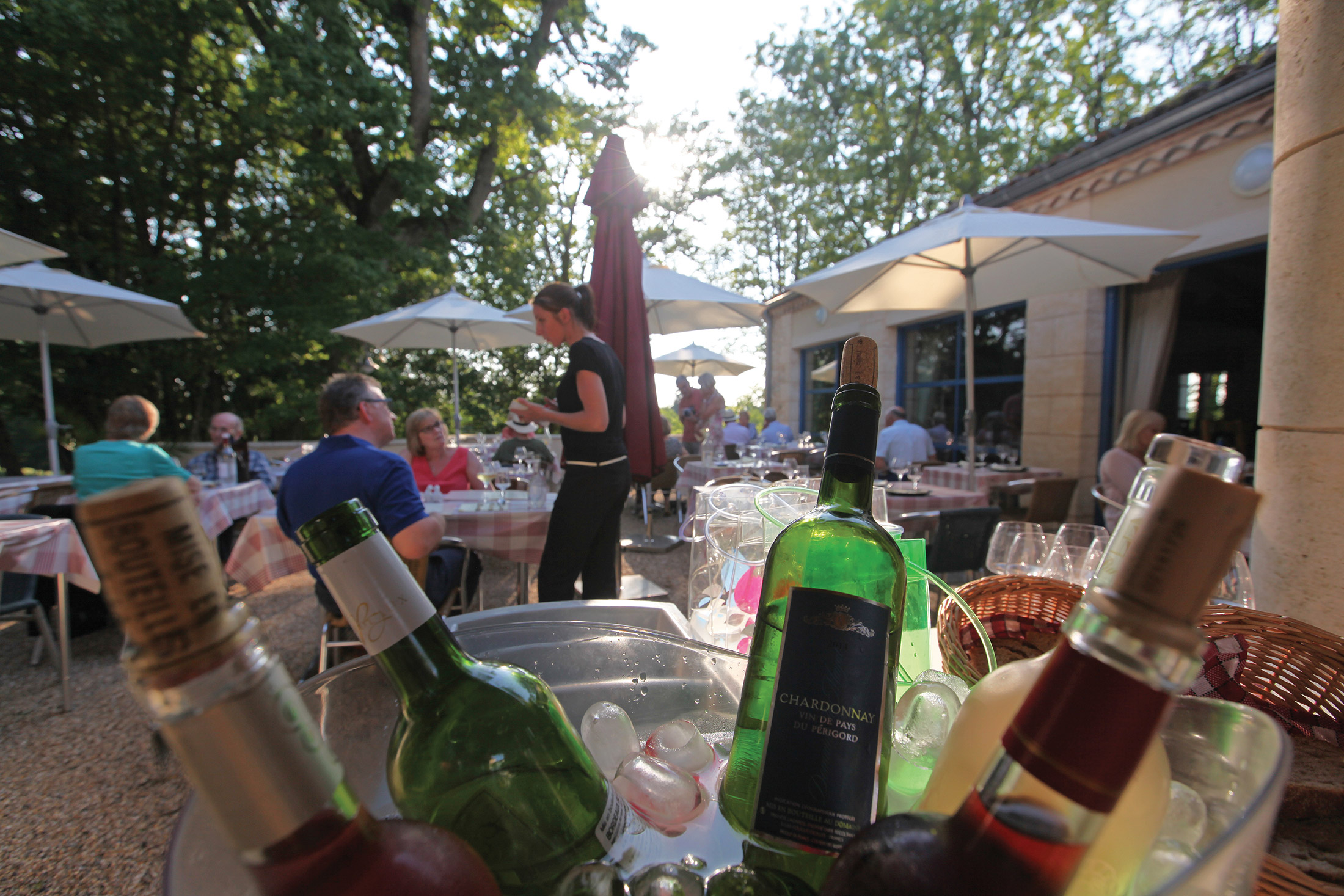
Shops and restaurants
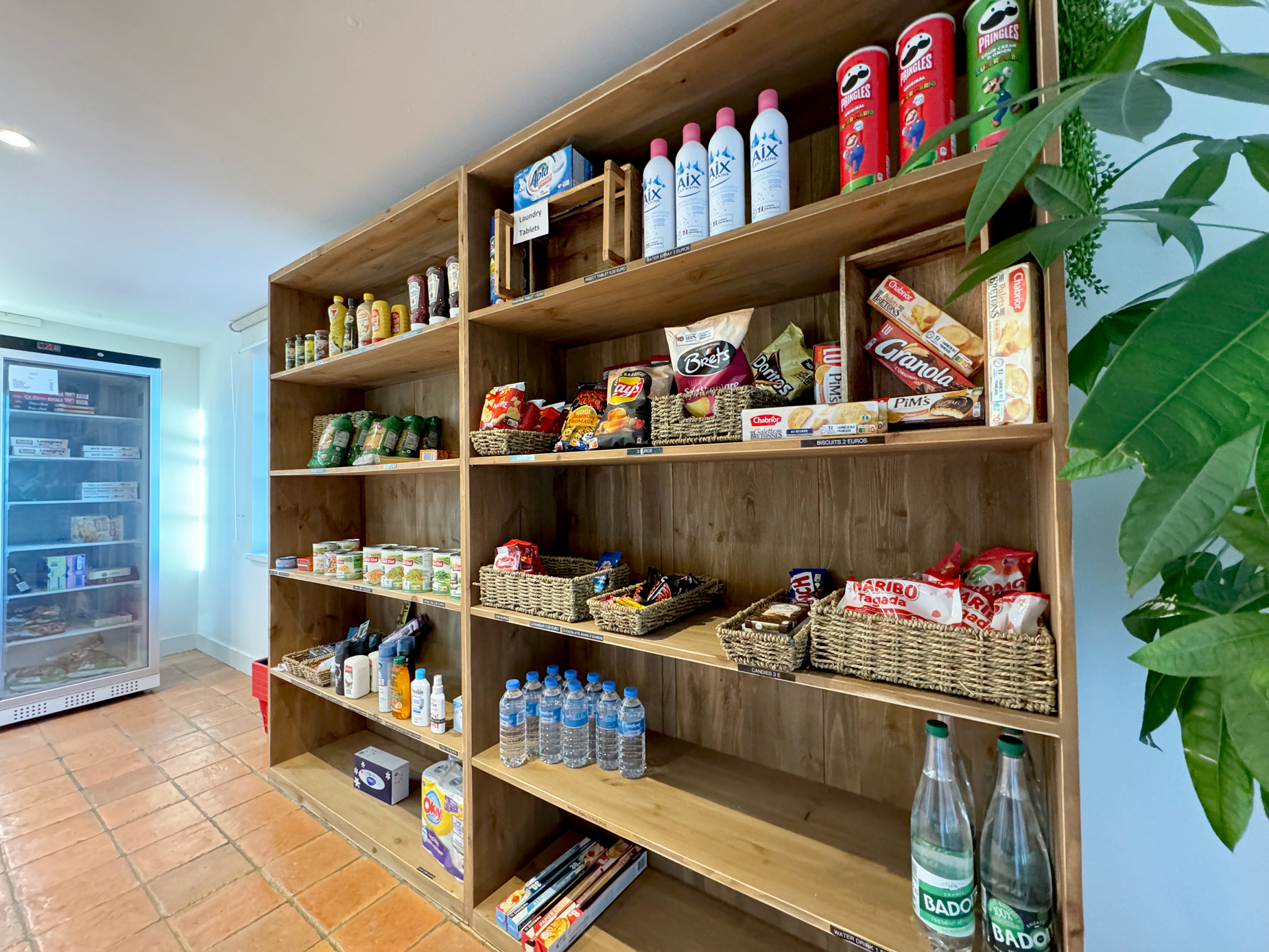
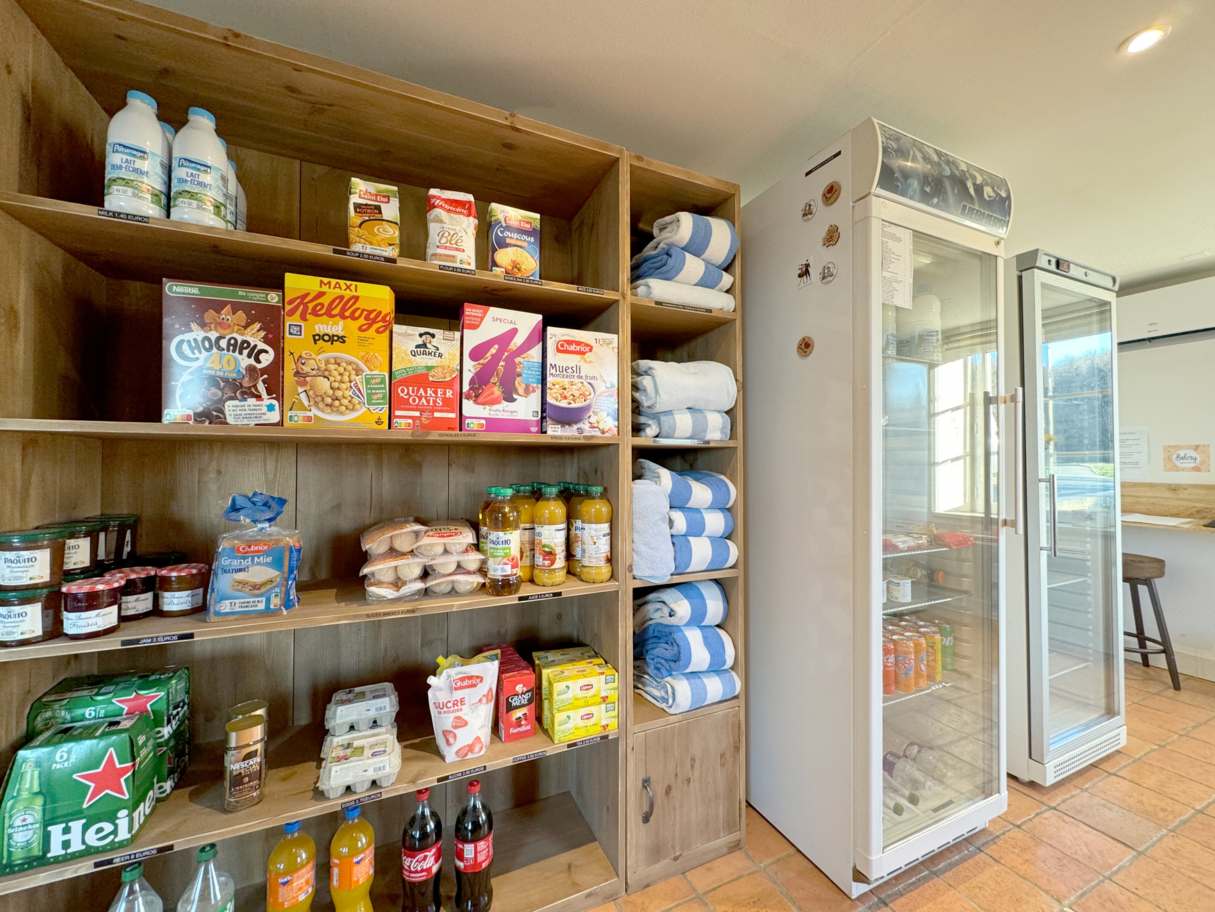
Our small on-site shop offers a good selection of groceries, which guests can order prior to their arrival. A baker delivers to the site most mornings, and a catering service is available several evenings a week.
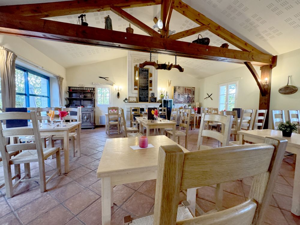
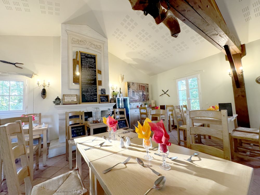
The on-site restaurant offers evening meals from mid-March to October. It has special opening hours for the Christmas and New Year holidays.
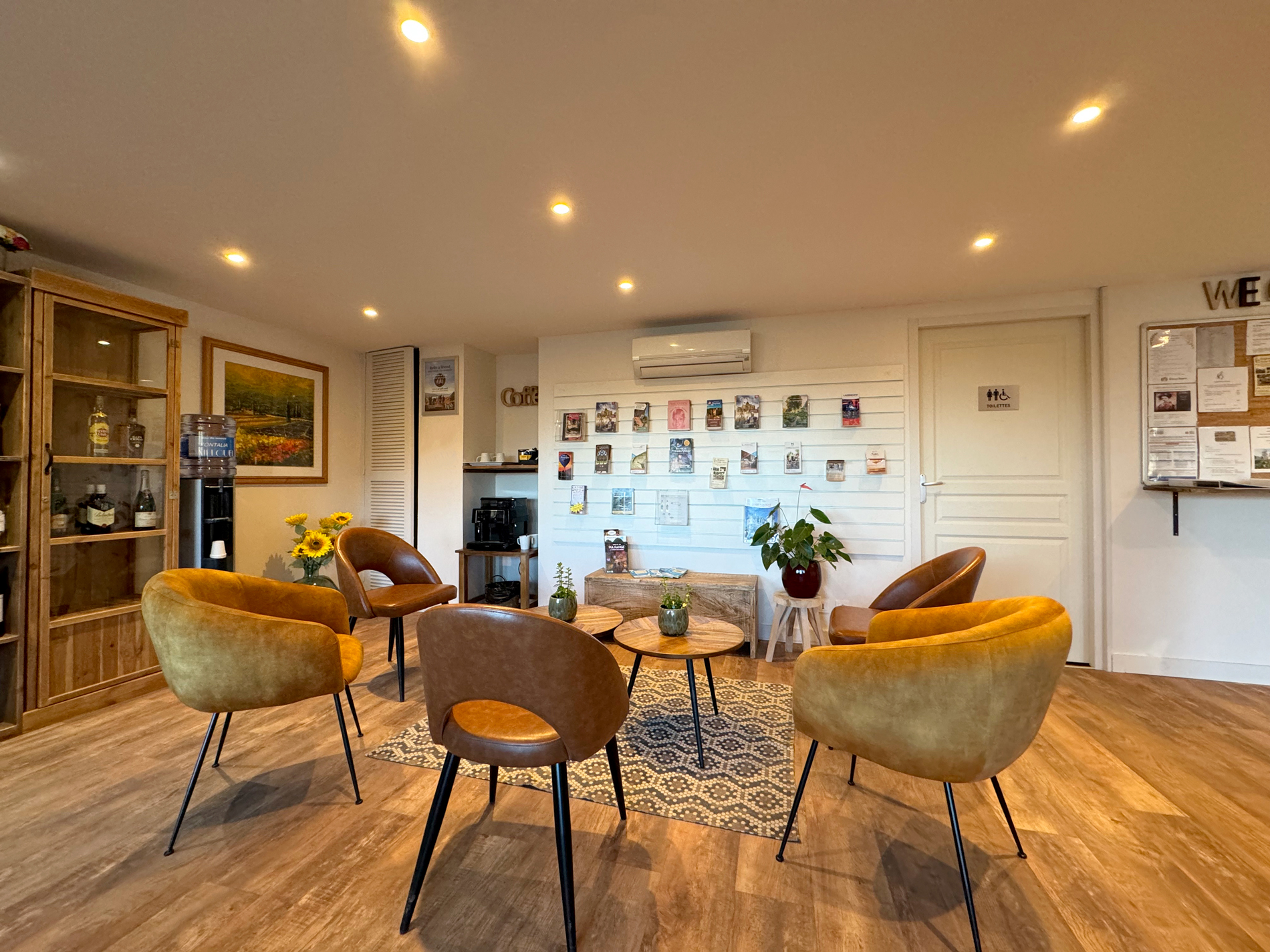
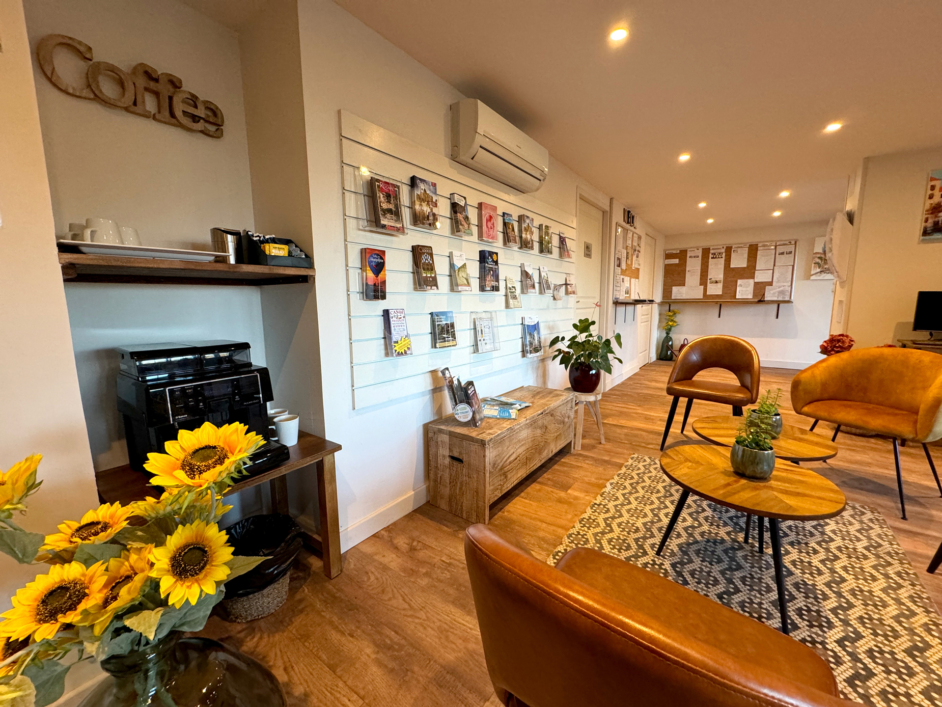
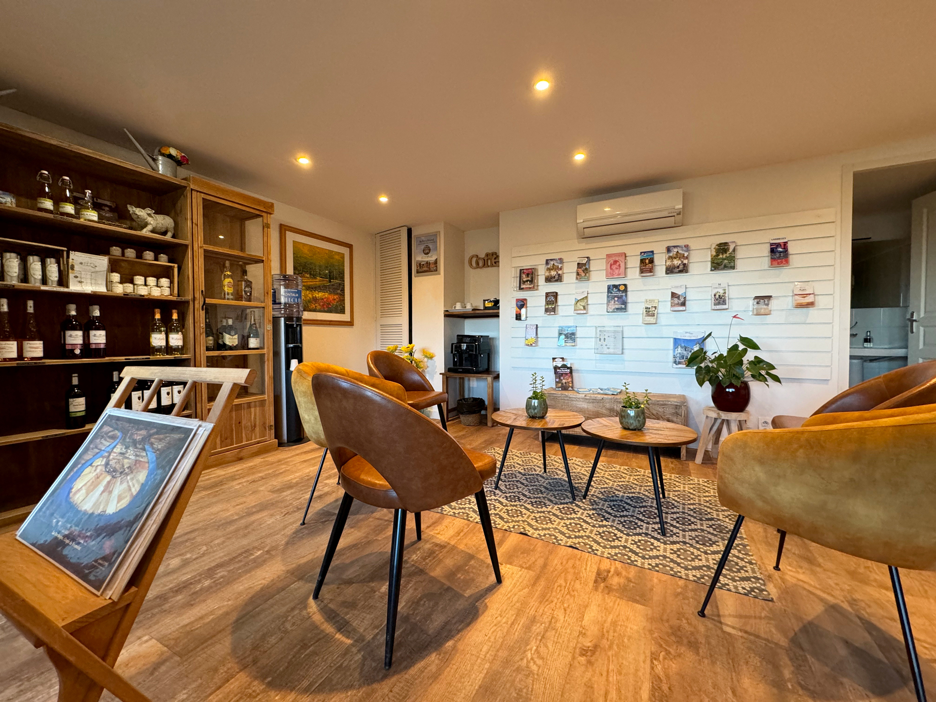
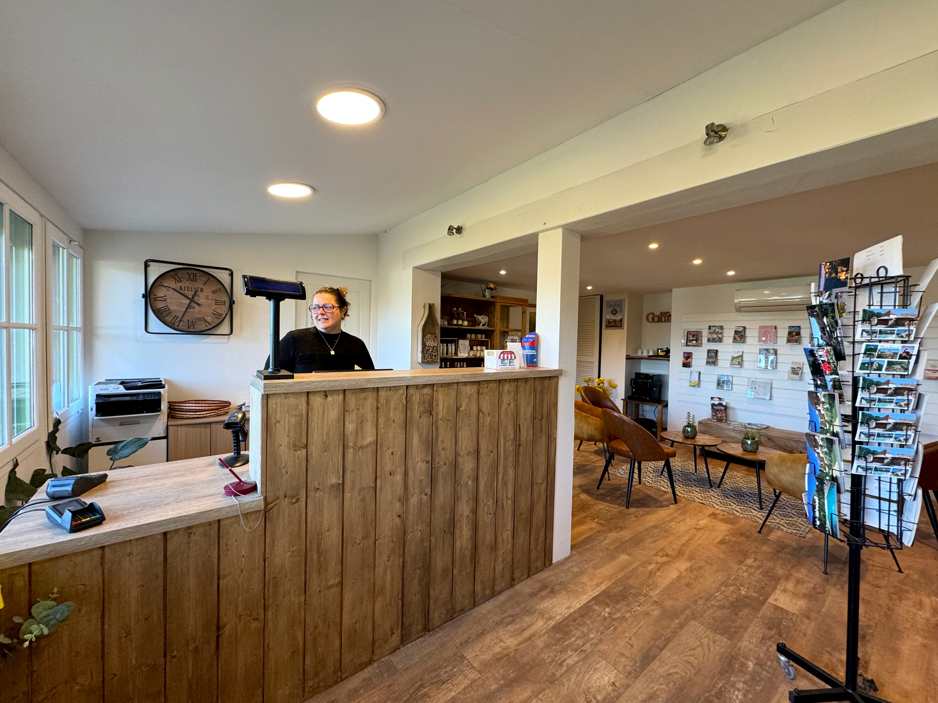
On-site amenities
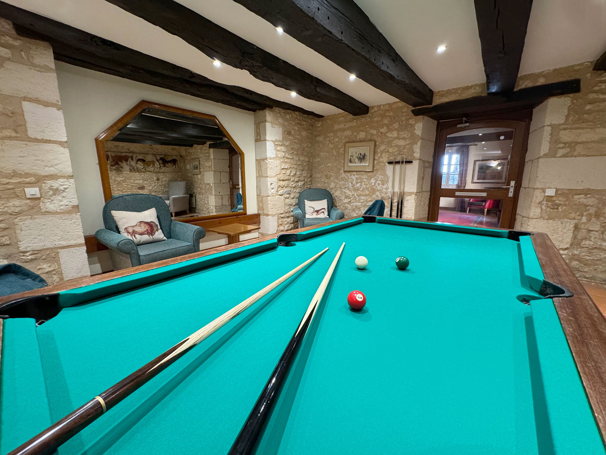
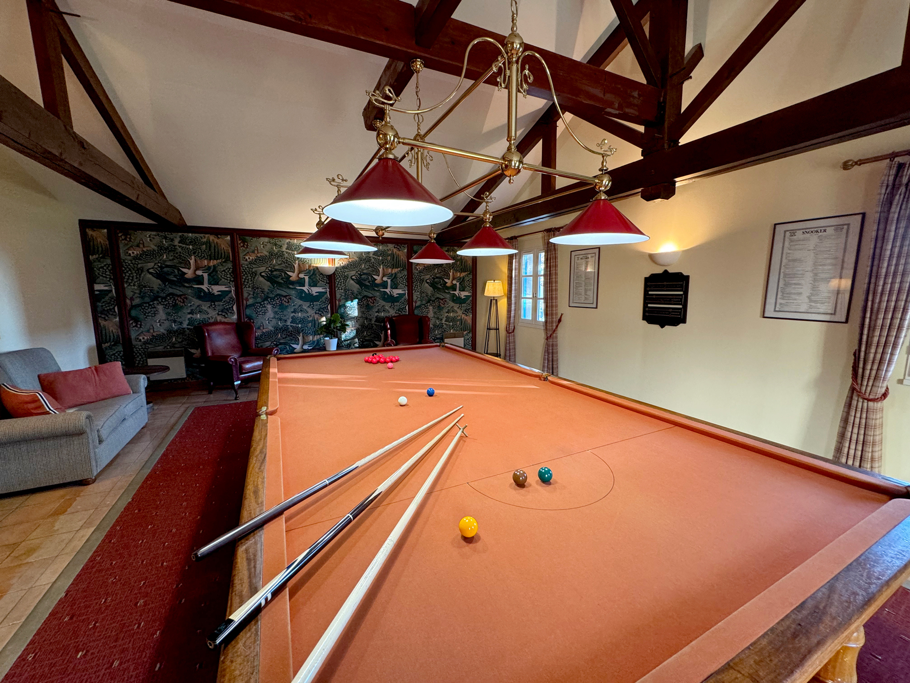
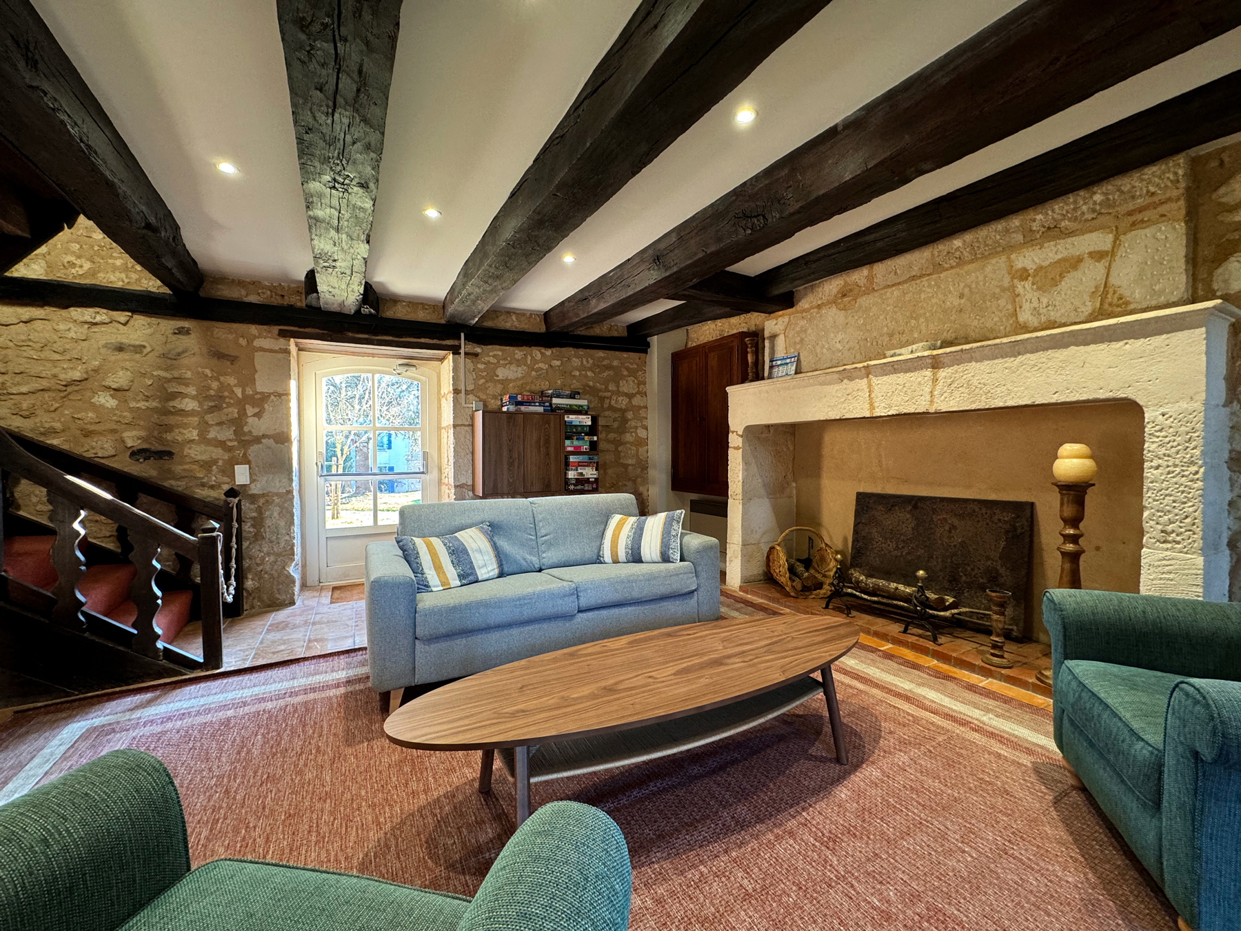
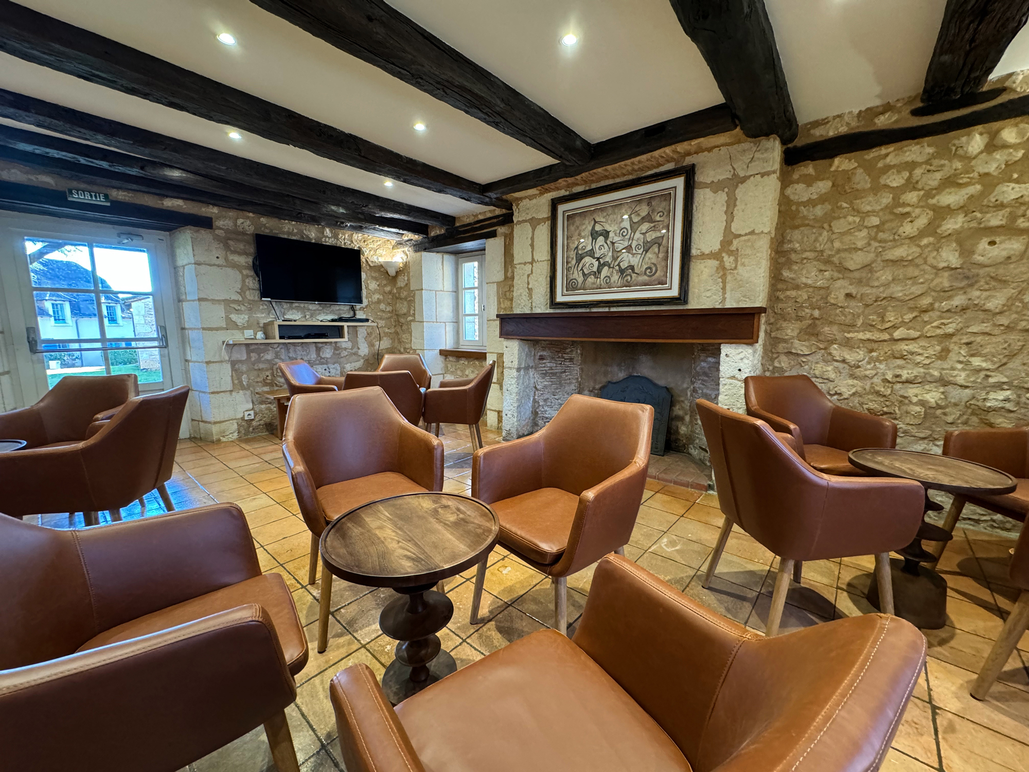
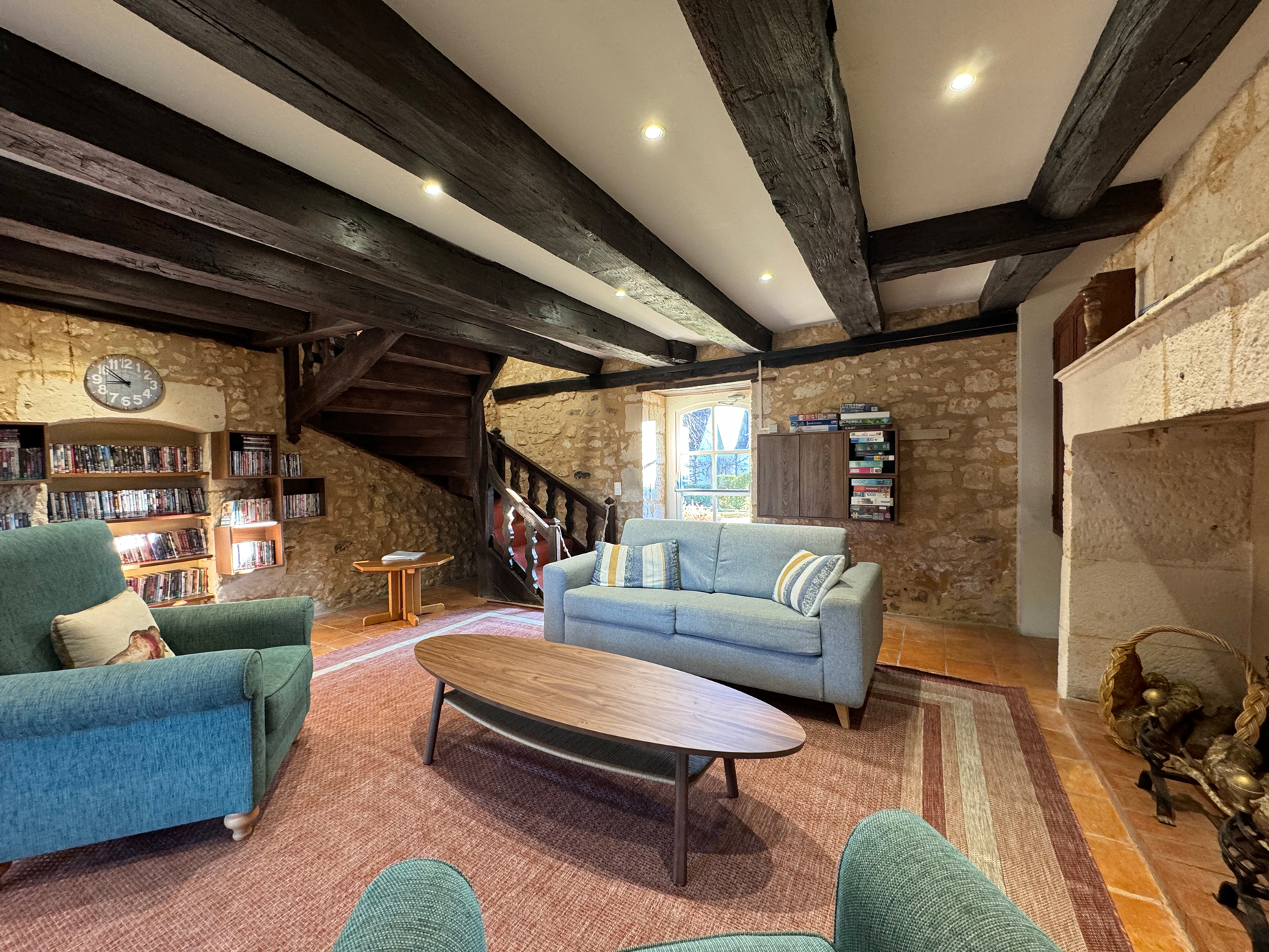
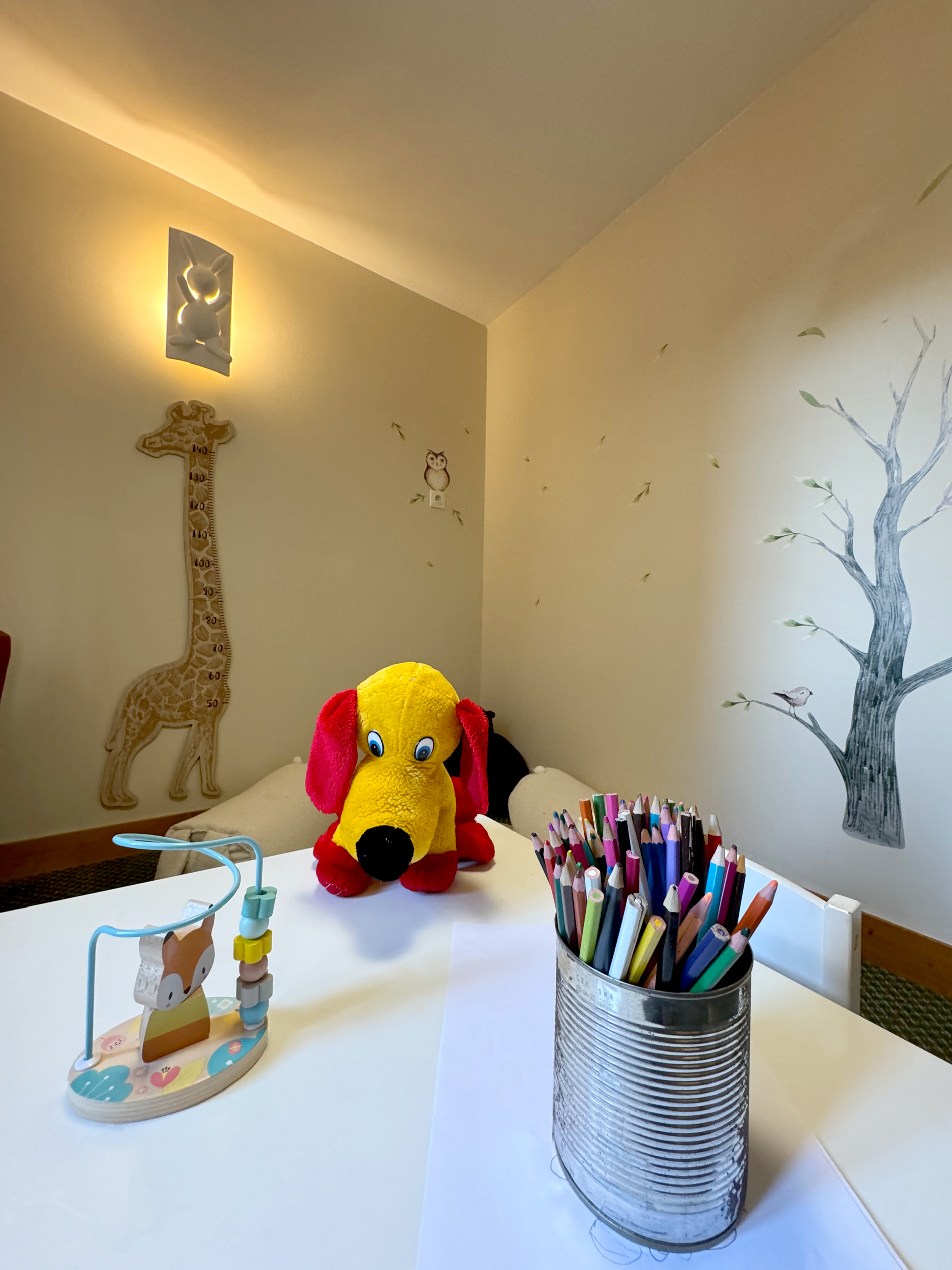
One of the principal old buildings serves as a clubhouse, containing:
- a sitting room and library
- a children’s room
- snooker and pool tables
- a late departure and early arrival lounge, with washroom facilities, table and chairs, microwave, kettle and so on.
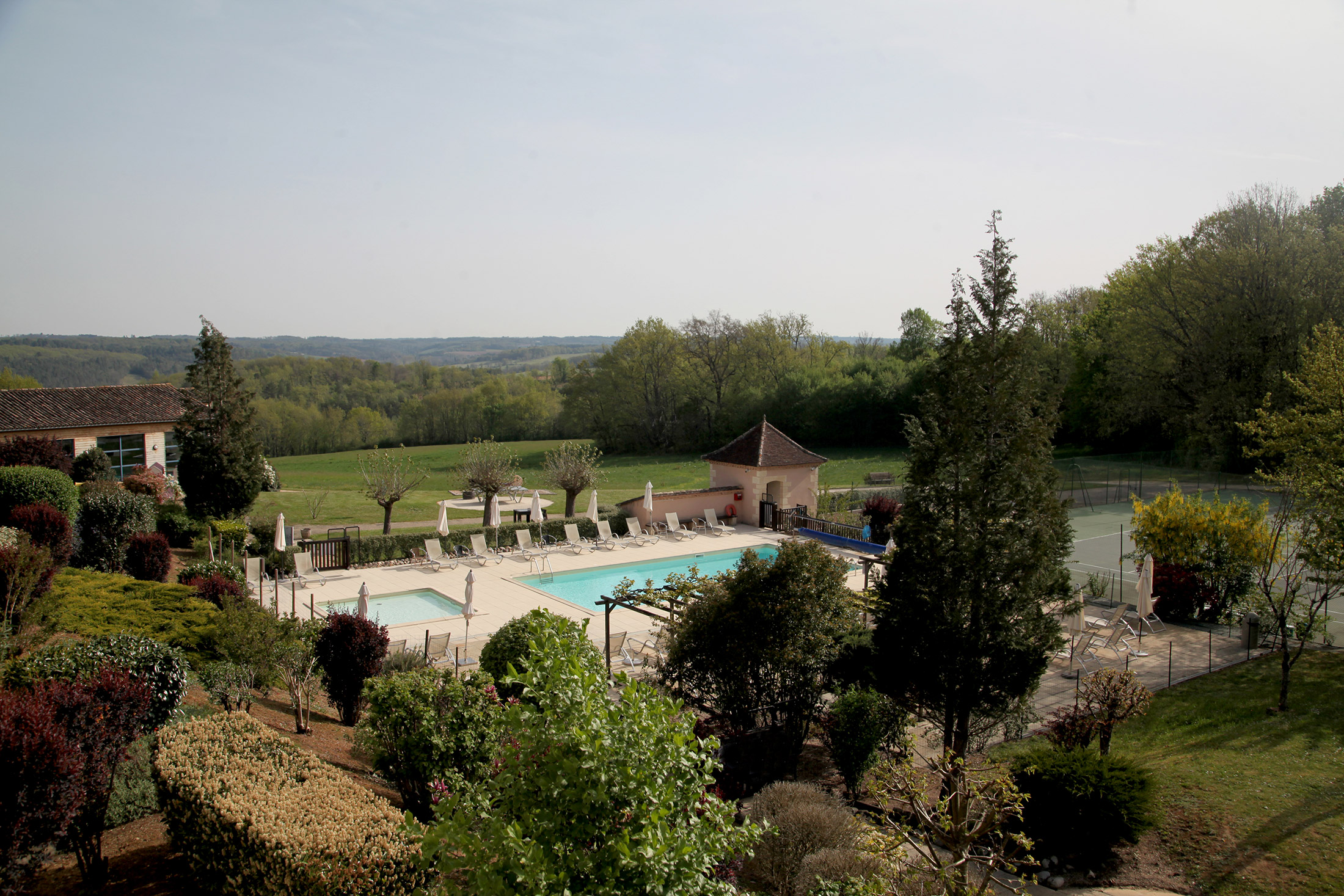
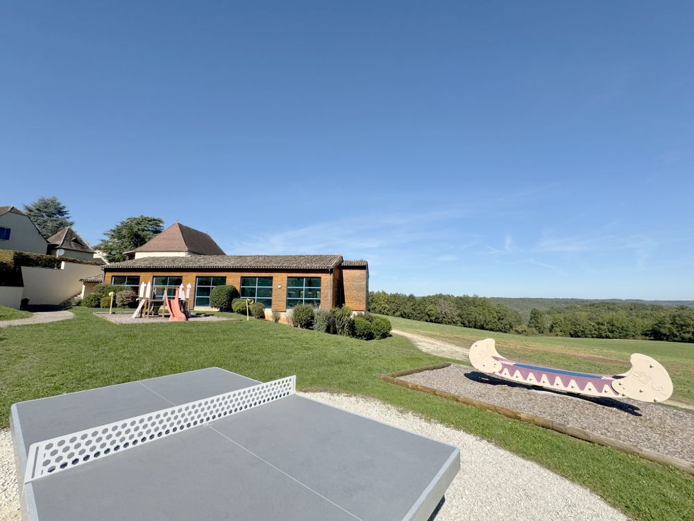
The site grounds have:
- two tennis courts
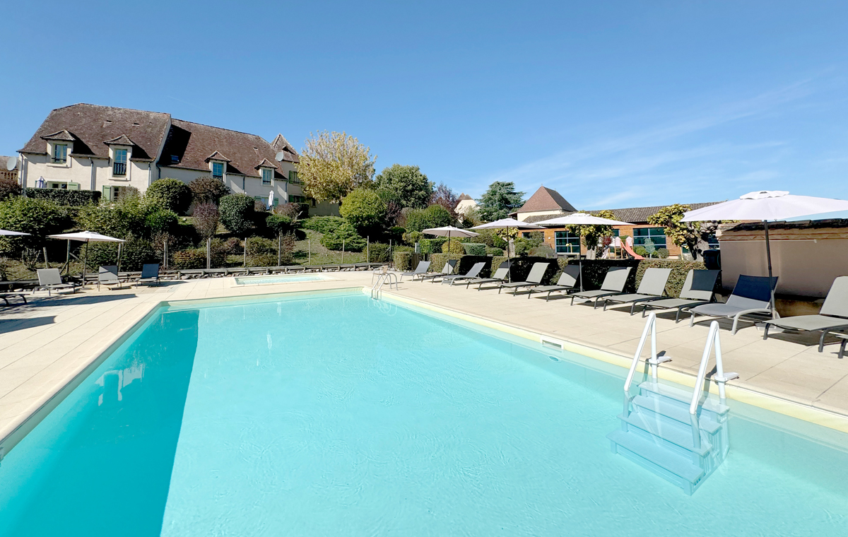
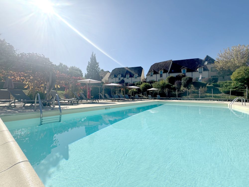
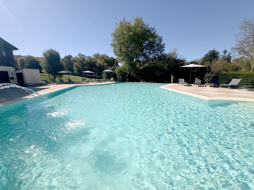
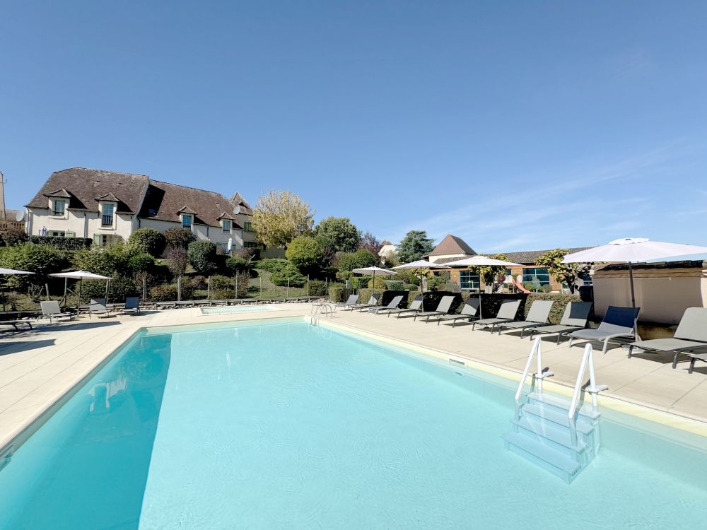
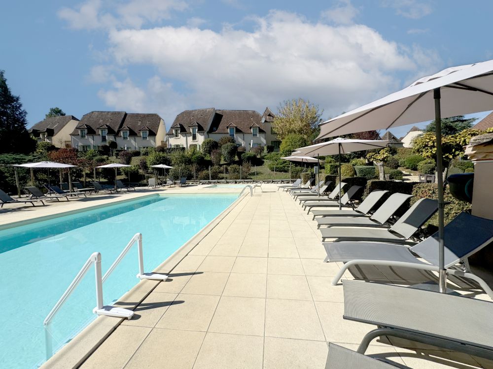
- two outdoor pools (the smaller of which is heated from 1st May until 30th September)
- one toddlers’ pool
- boules
- a herb garden
- a children’s play area
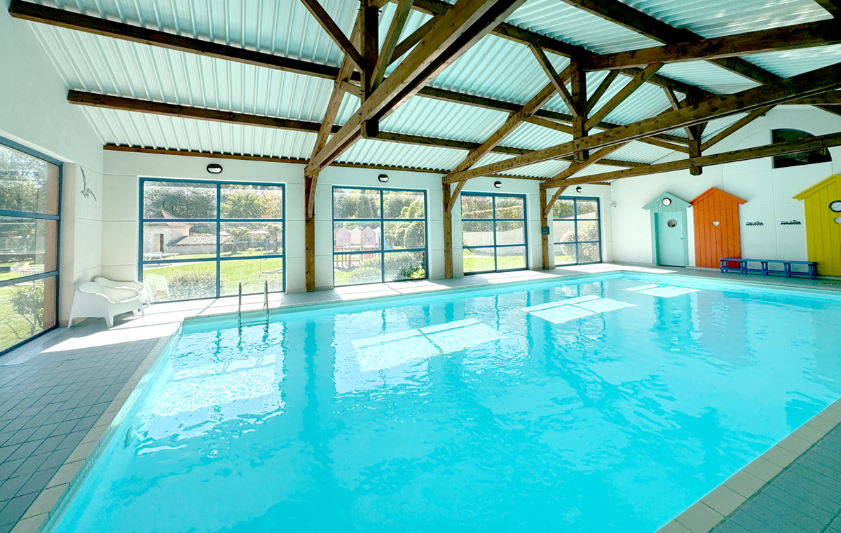
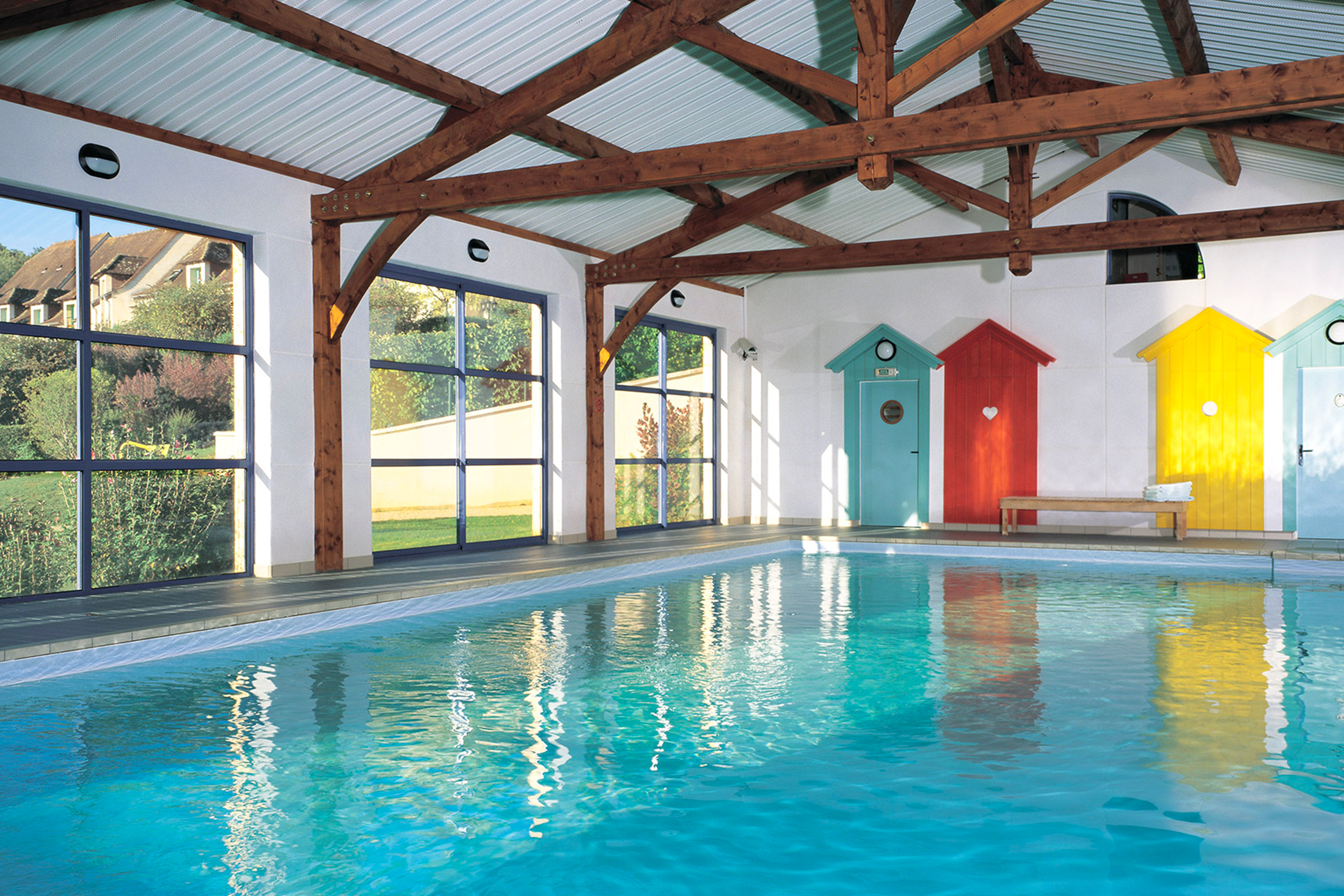
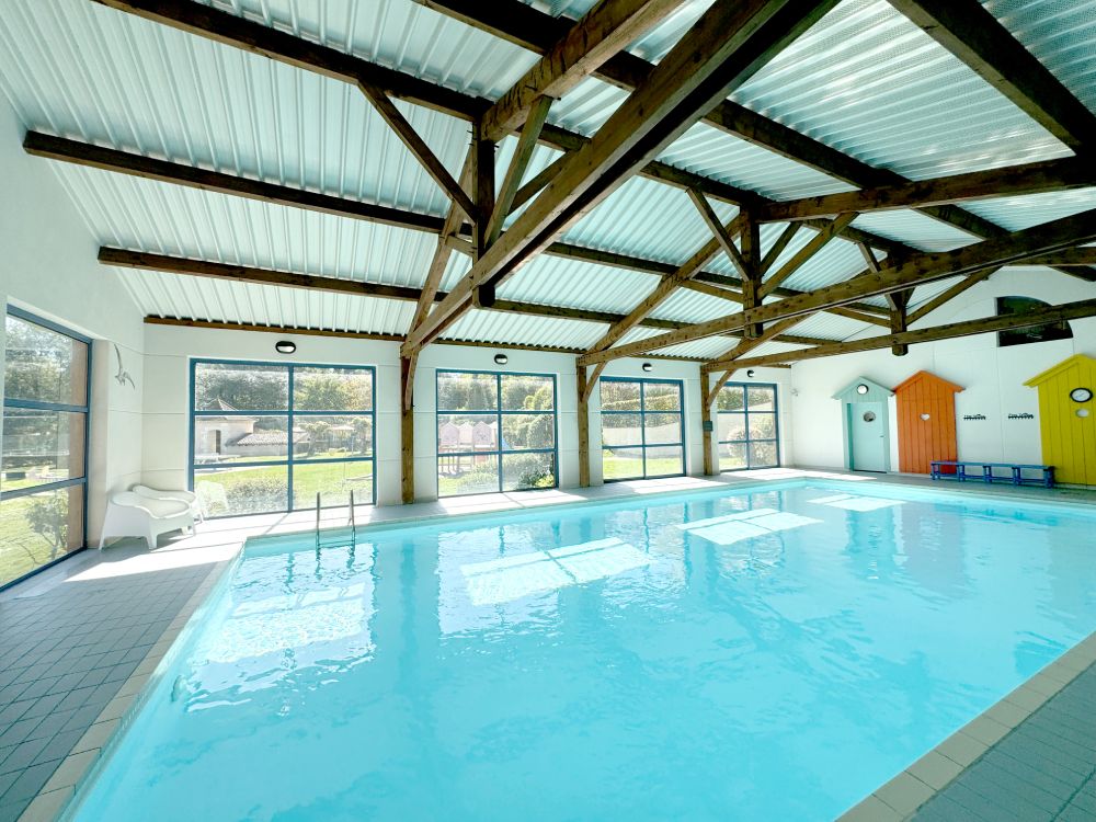
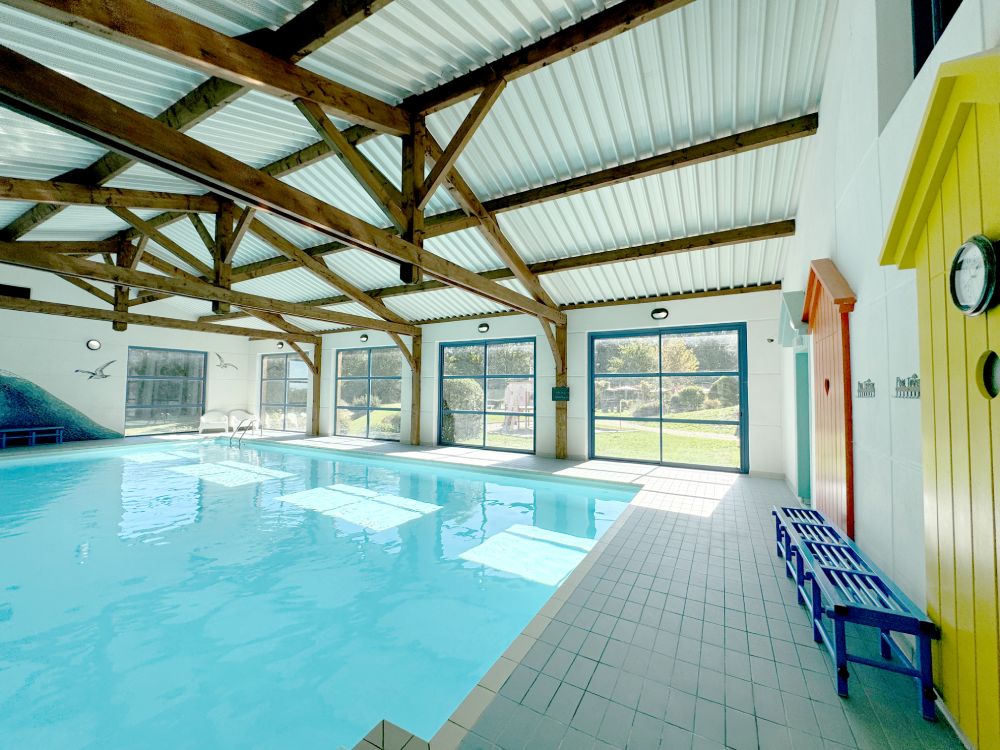
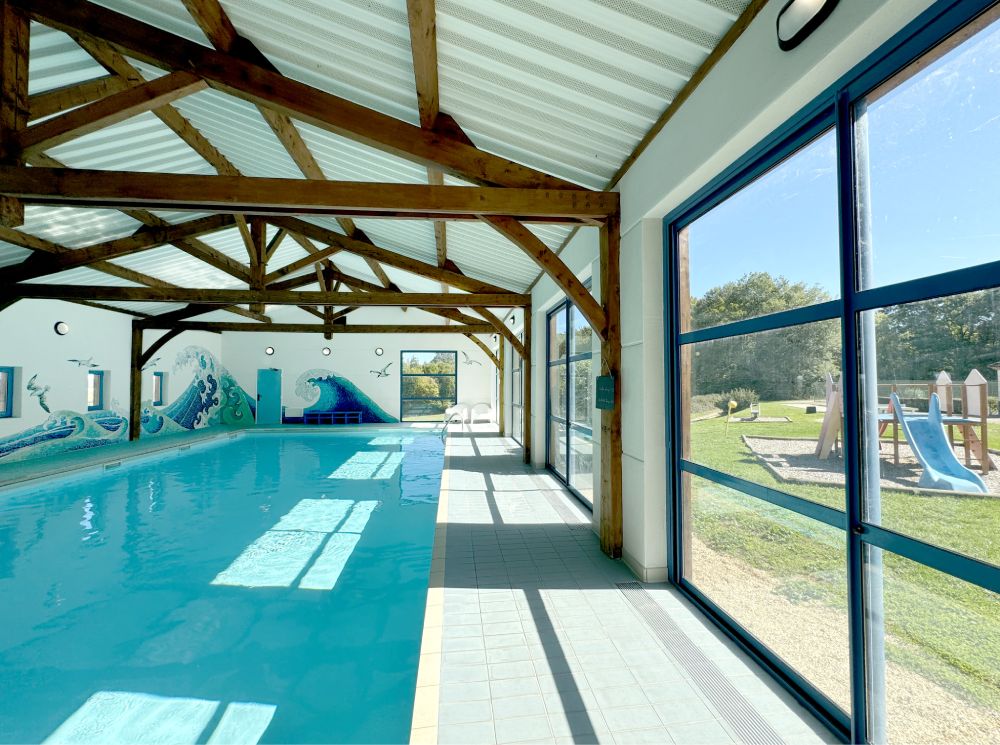
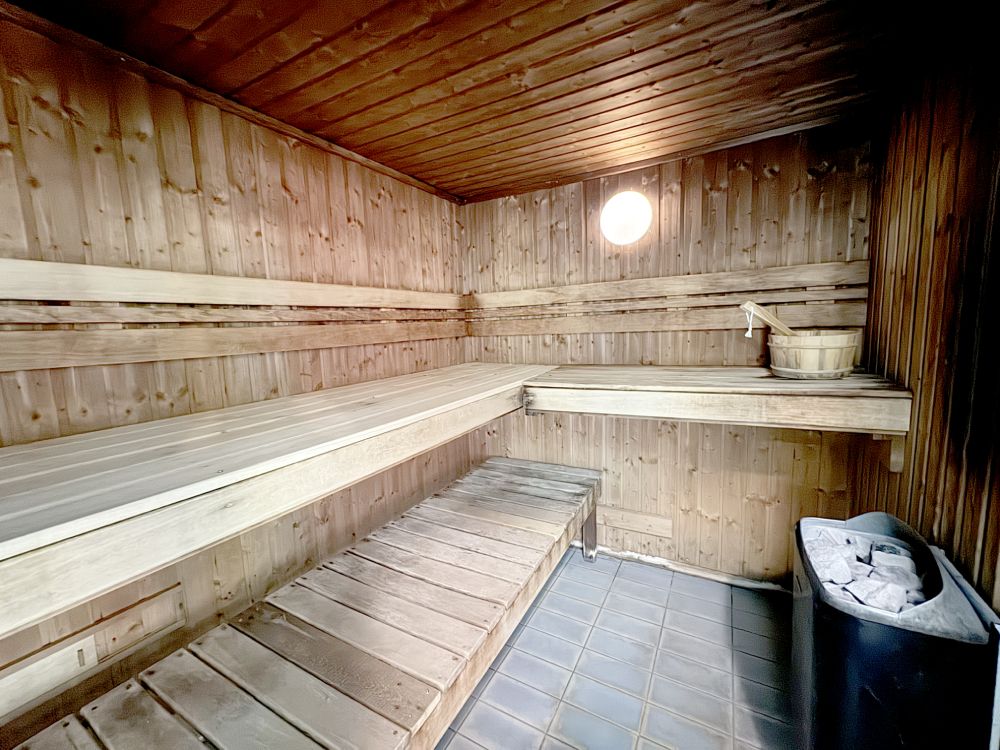
There is also an indoor swimming pool and a leisure complex with sauna and exercise room. Our games room has table tennis, table football, pinball machines, shuffleboard and other games.
A shop, information centre and free DVD library are located at reception. We offer free internet access via broadband and WiFi in reception, and WiFi only in the clubhouse and certain properties.
Barbecues are available for hire. Regular information meetings take place in the Salle des Fêtes.
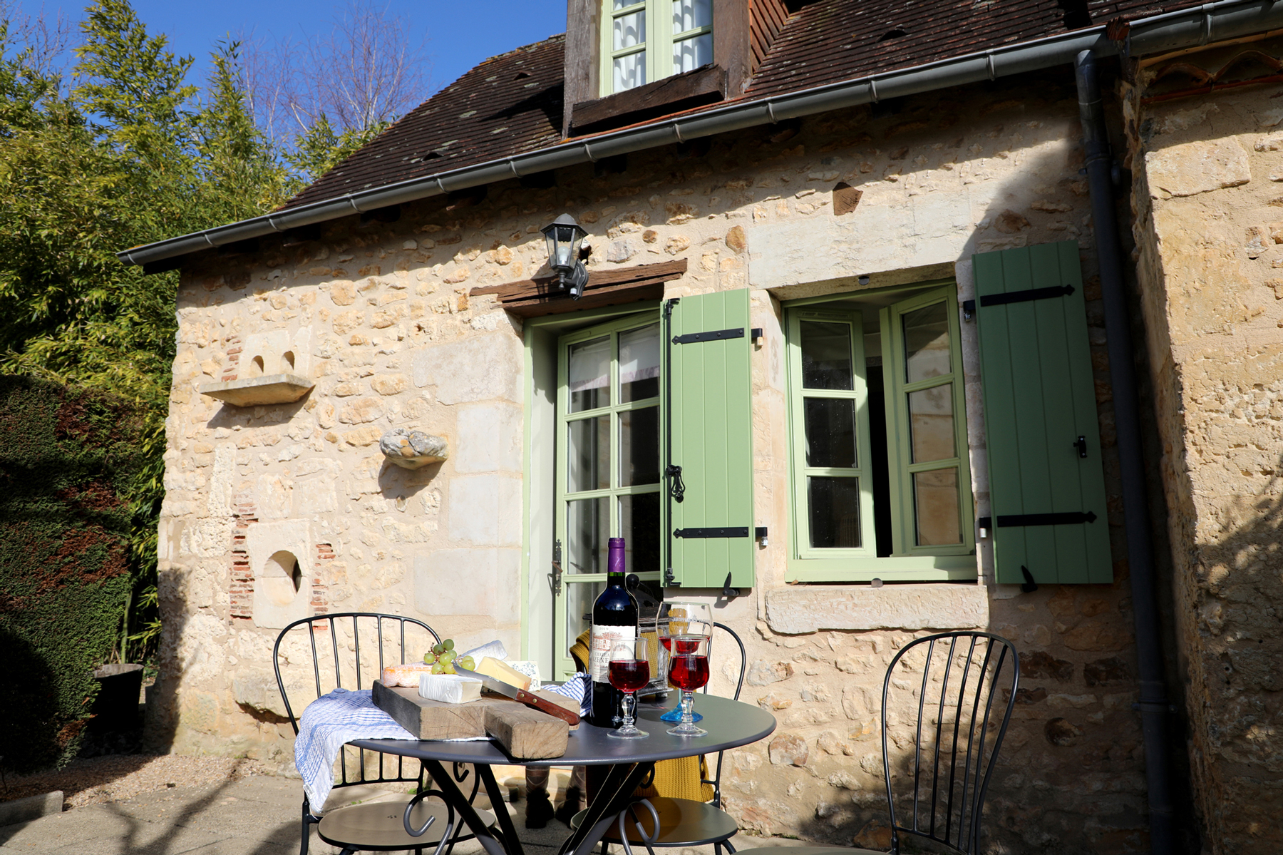
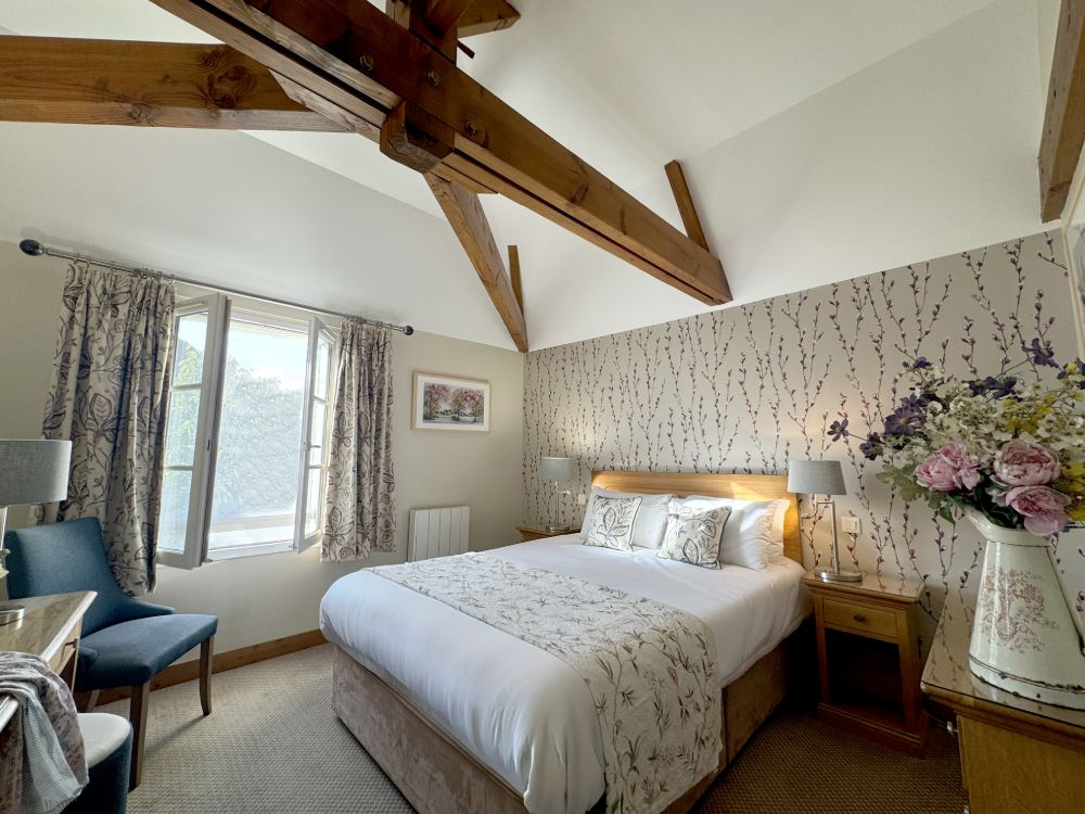
Properties in Dordogne
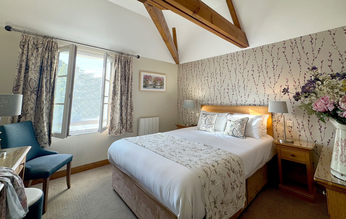
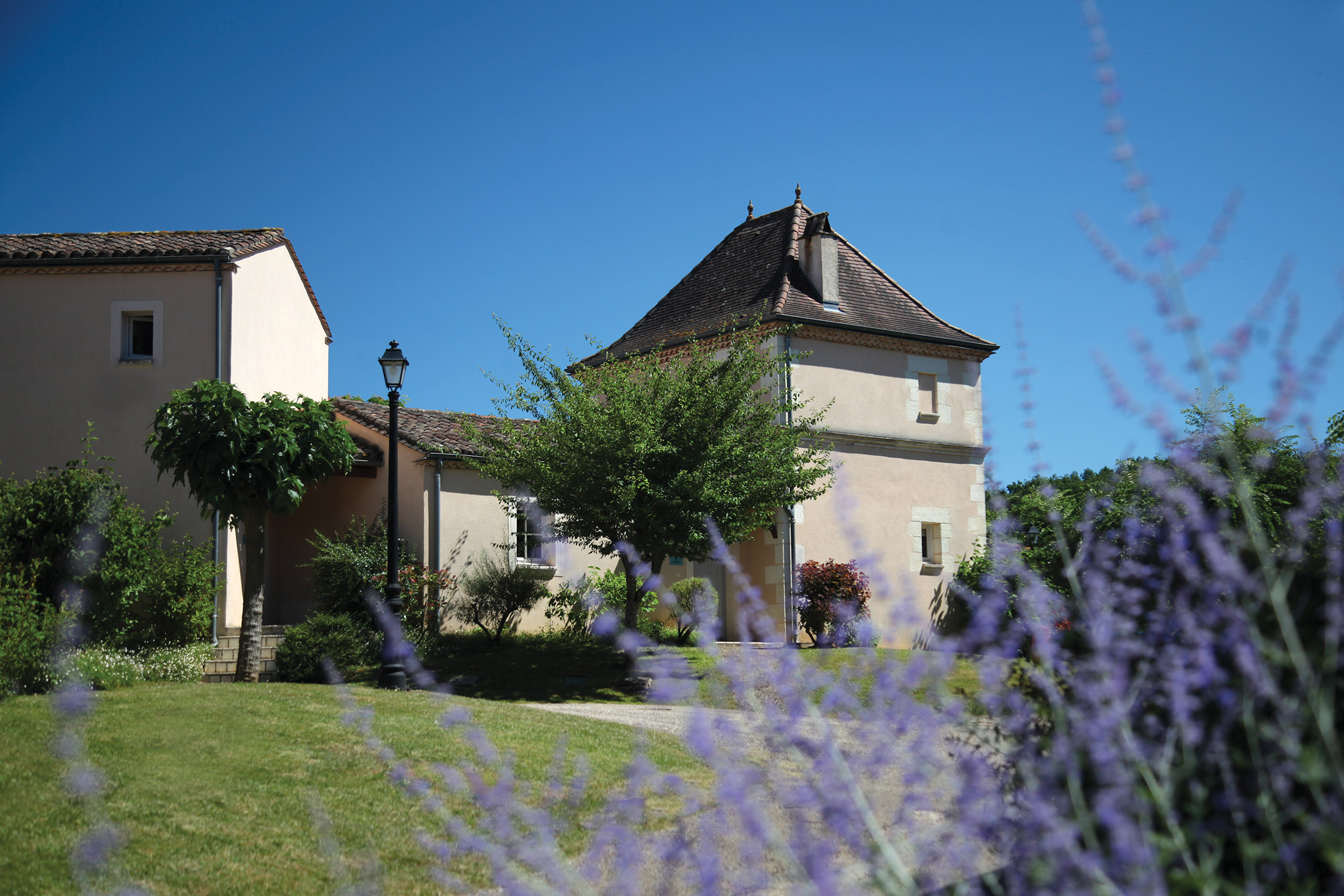
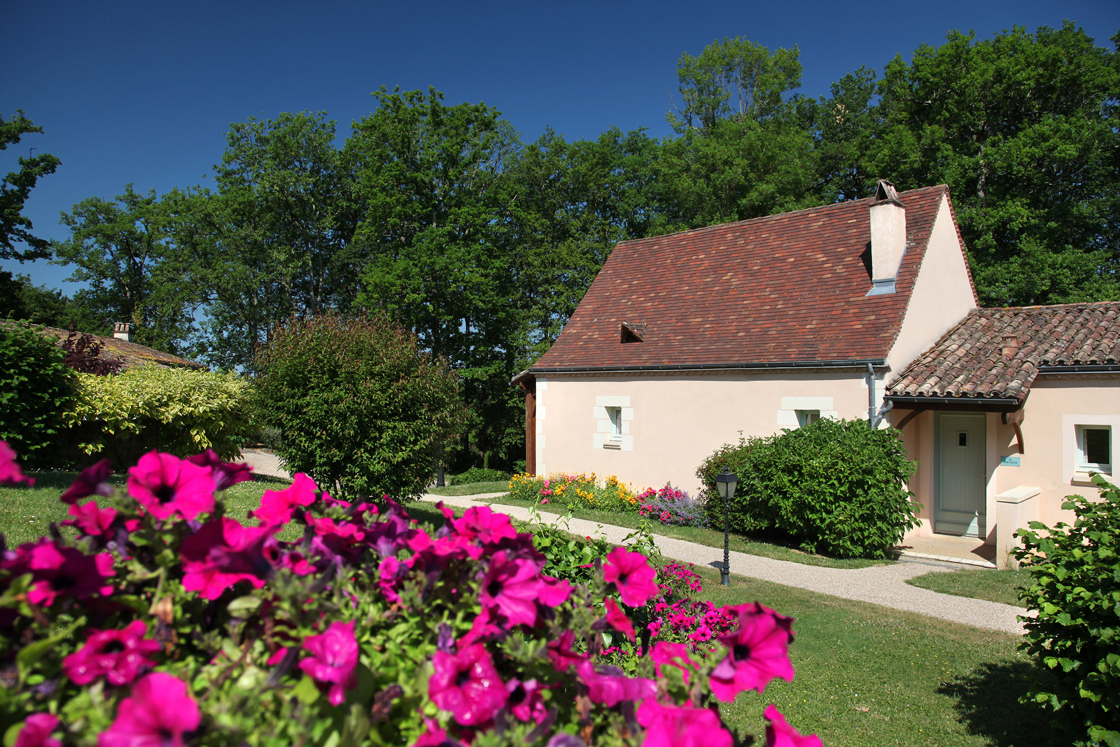
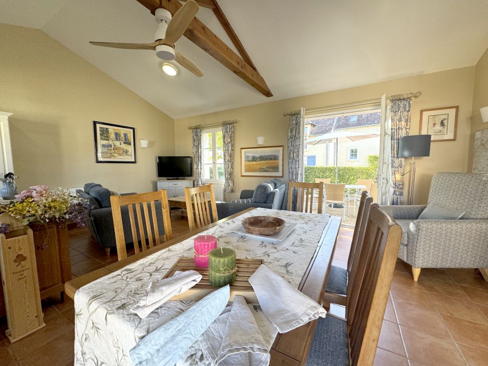
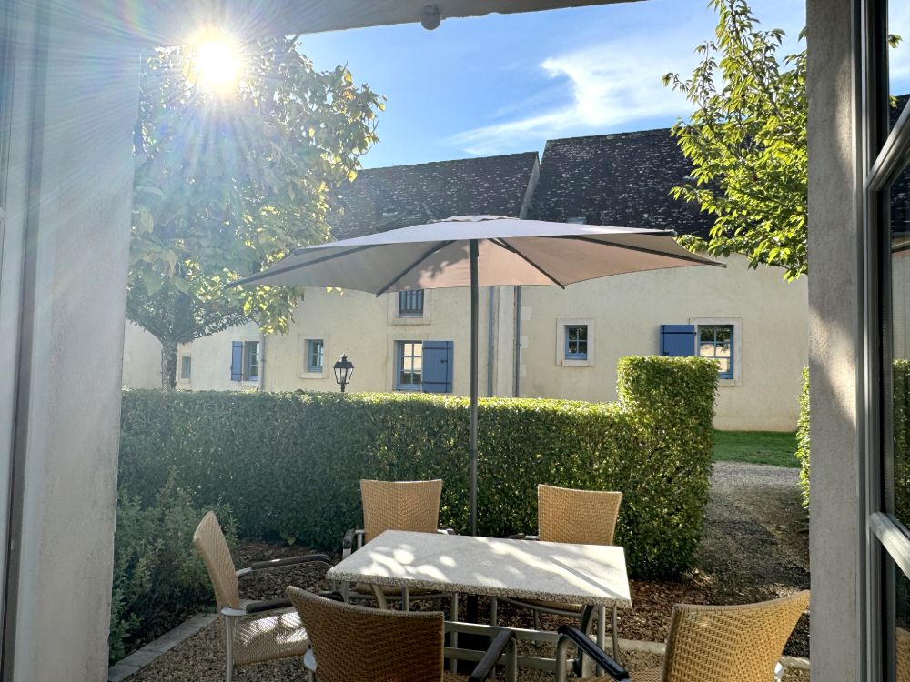
Sixty apartments and cottages make up this medieval hamlet, olde worlde in atmosphere but thoroughly up-to-the-minute in facilities and furnishings. There’s something for all ages: you can swim, play tennis, use the exercise facilities, improve your table tennis… or just relax with a good book.
But of course France wouldn’t be France without food – and at Constant you can let the best of French cuisine come to you. Dine in the on-site restaurant. Pick up something for yourselves at the bi-weekly food producers’ mini-market. Visit a local farmhouse for the weekly dinner and get-together.
One thing’s for sure: at Constant, there’s no excuse for going hungry!
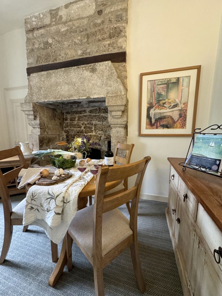
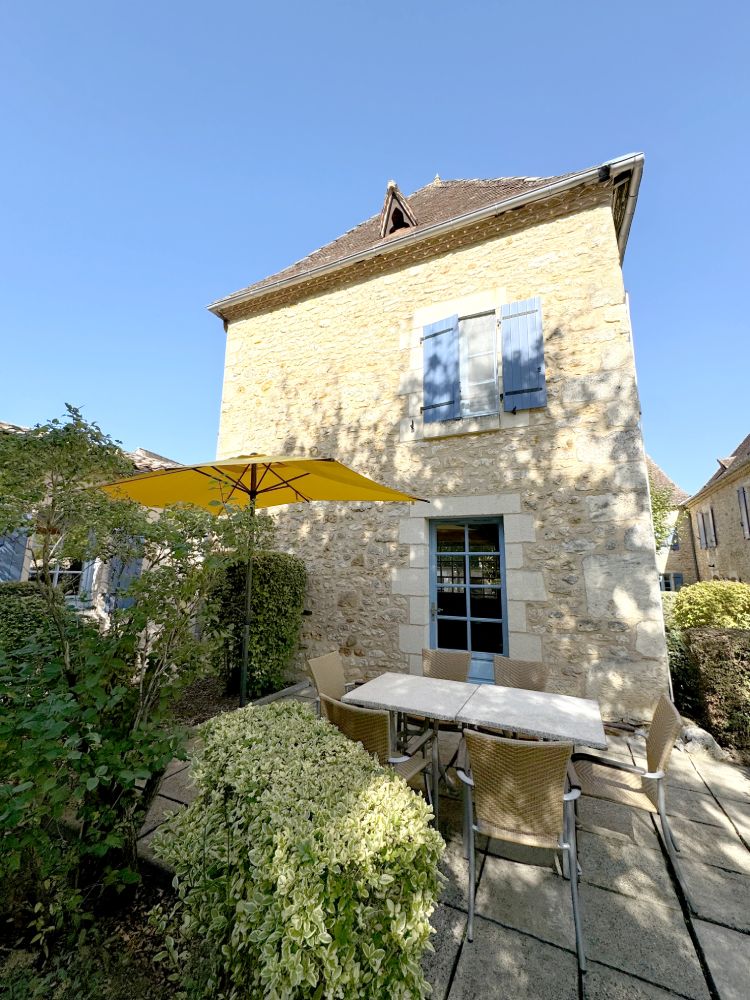
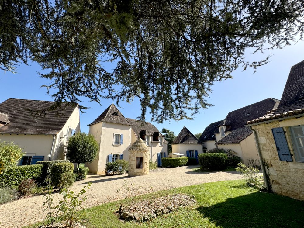
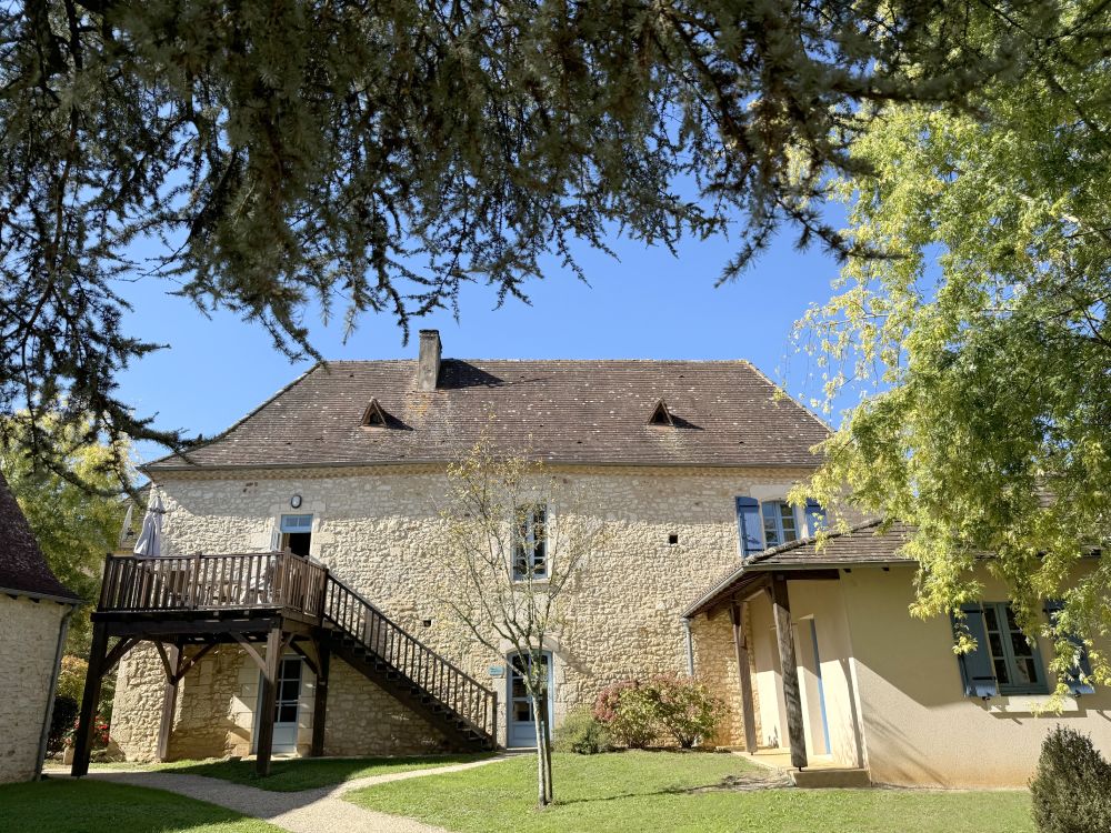
Constant’s beauty has to be seen to be believed, and we’ve tried to capture some of that in the photos below. Looking at the buildings, both internally and externally, it’s clear that the restoration of this hamlet is completely faithful.
The most modern structures are the two outdoor pools and the leisure complex, which features an indoor pool, sauna and exercise room. Depending on your preference, you can choose to stay in a modern or traditional Périgord-style holiday cottage or apartment. The latter features low ceilings, stone walls and large wooden beams, whereas the more modern properties are open-plan.
Whichever property to stay in, you’ll have access to some fantastic facilities and gorgeous views.
Location
HPB Constant
Village de Constant
Saint-Félix-de-Villadeix
Dordogne
France
24510
Tel: +44 800 230 0391
Email: details@hpb.co.uk
Rich cuisine, fine wines, beautiful countryside, history in spades – the Dordogne has all this, and more.
To the south of Bordeaux, the region boasts a dramatic yet unthreatening topography; a surfeit of beauty, both natural and manmade; historic towns and cities; and, of course, fantastic food and wine.
Things to do in Dordogne
The Dordogne is awash with spectacular scenery and a raft of fascinating attractions and distractions, from medieval towns and roaring rivers, to monuments, castles and caves.
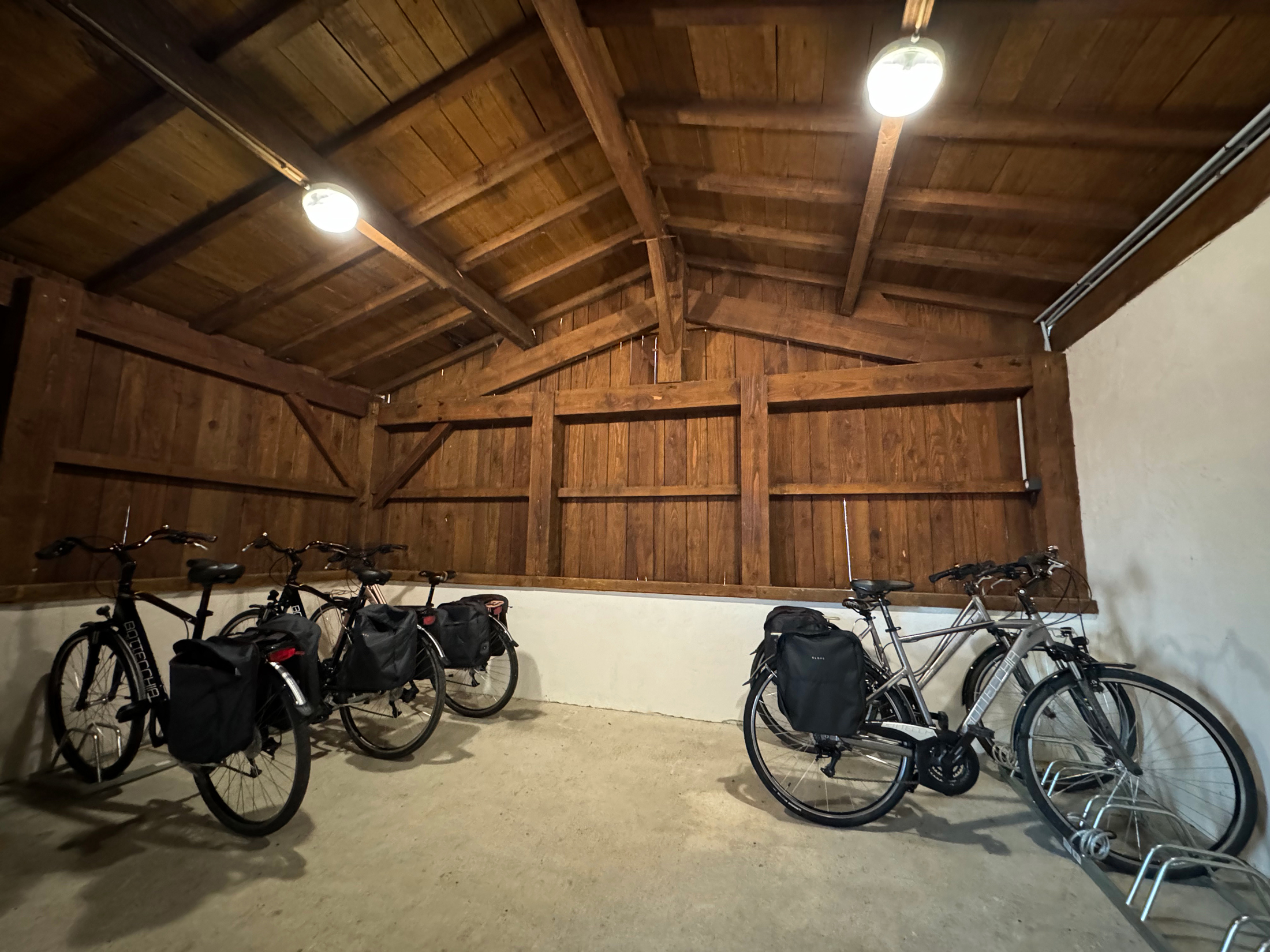
Discover bustling country markets, a wealth of wildlife and, of course, the finest restaurants to be found anywhere. And once you’ve eaten, work up your appetite again on one of the several walking paths and mountain bike trails next to the site.
In the summer months, a nearby lake has a swimming instructor, water toboggans, pedaloes and snack facilities.
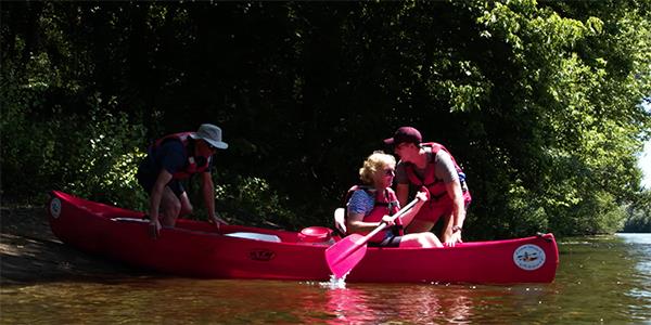
Walks
Read our HPB Feefo Reviews
HPB’s holiday booking service has been rated 4.9 out of 5 based on 14,772 customer reviews on Feefo
![]()
“In the two decades-plus we have enjoyed as Bondholders, the Bond has fulfilled its ‘sales-pitch’ promises.”
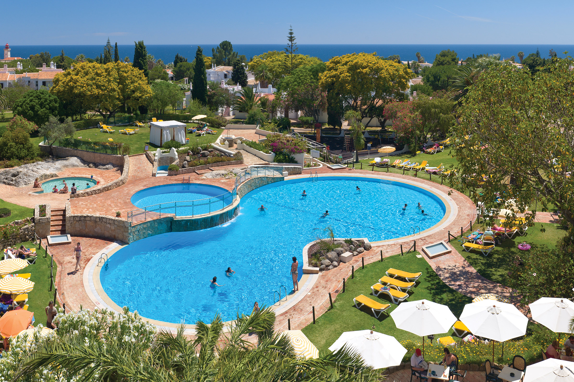
Robert IrelandIn the two decades-plus we have enjoyed as Bondholders, the Bond has fulfilled its ‘sales-pitch’ promises. Through the automatic inflation protection, our original investment would still be enough to stay at Rocha Brava, in the Algarve, for two weeks in high season.