


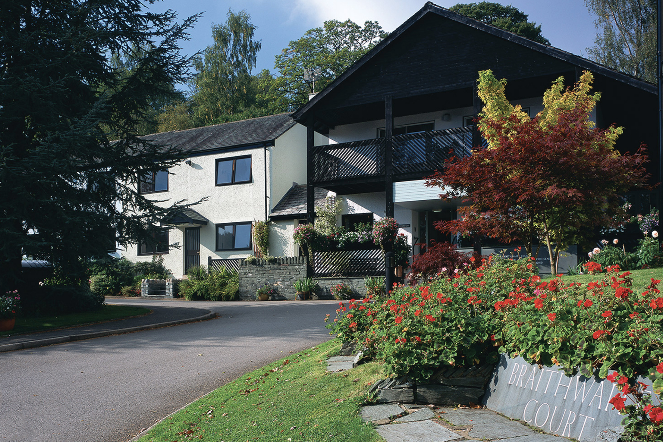
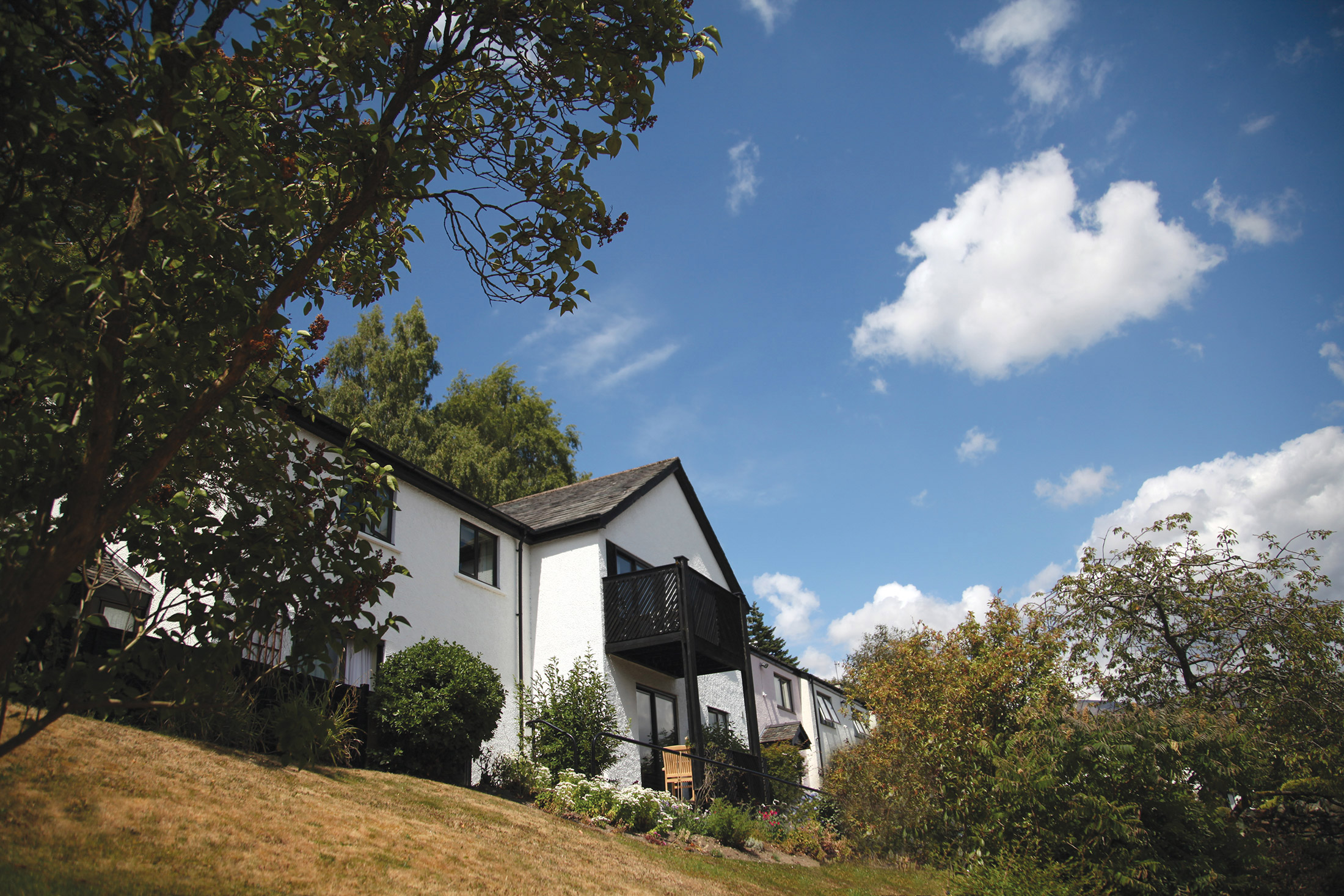
Braithwaite Court, Cumbria, England
Ideal location for exploring the Lakes and Fells of the English Lake District
Book a tour Open Gallery-
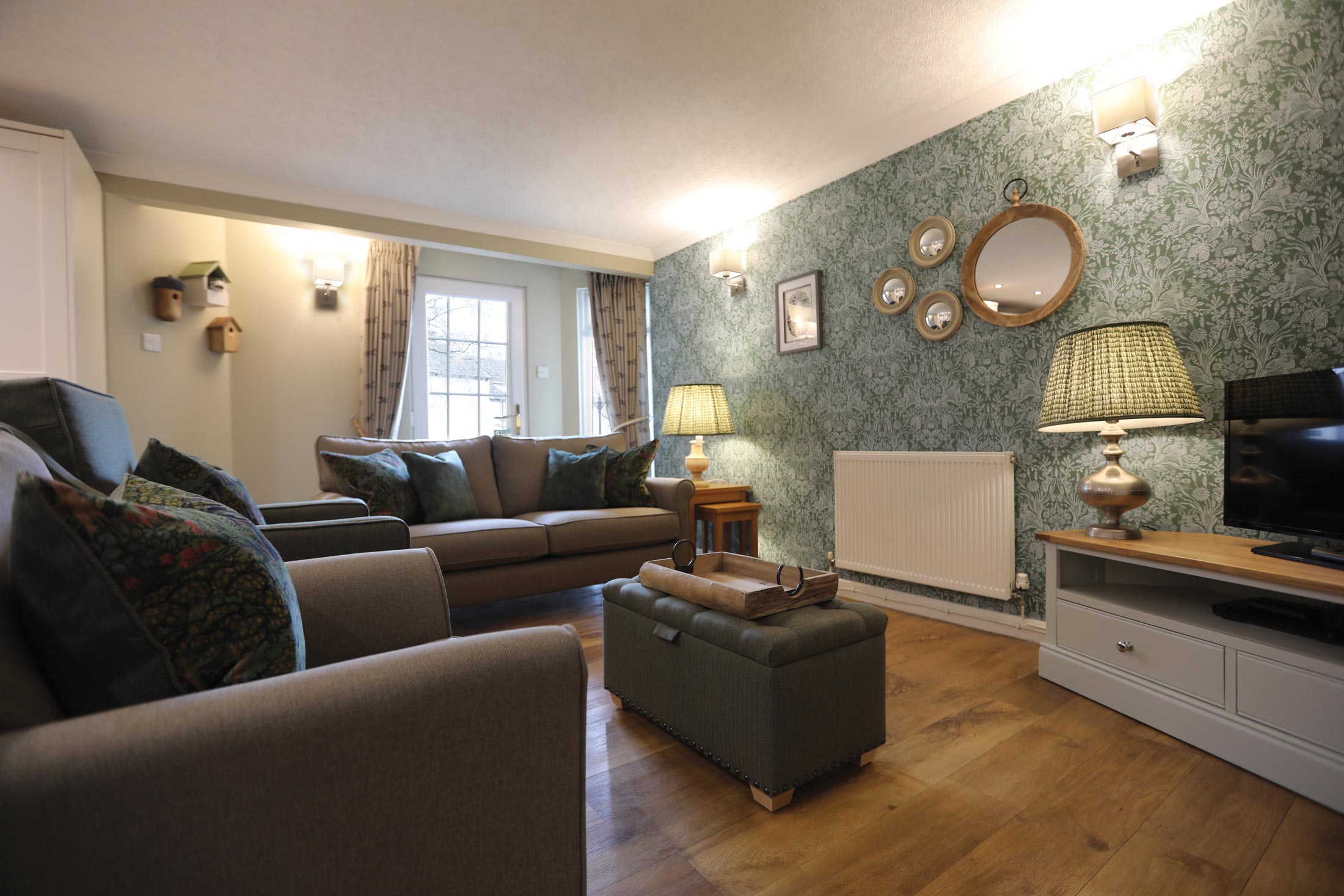
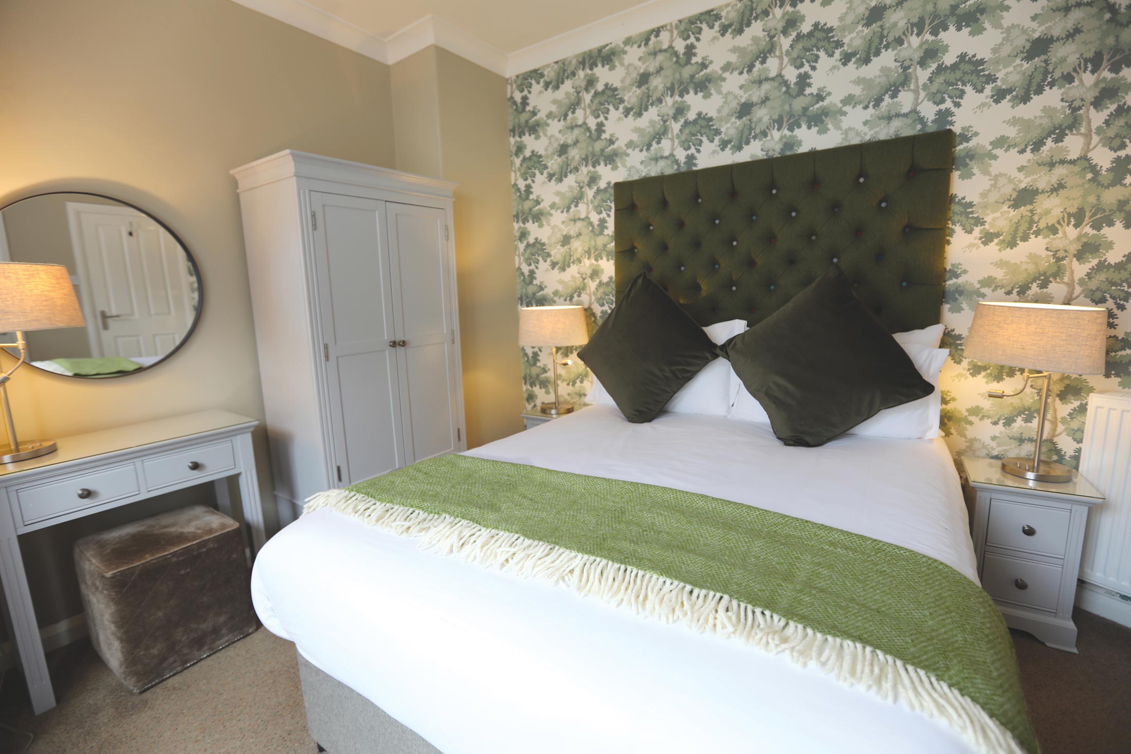
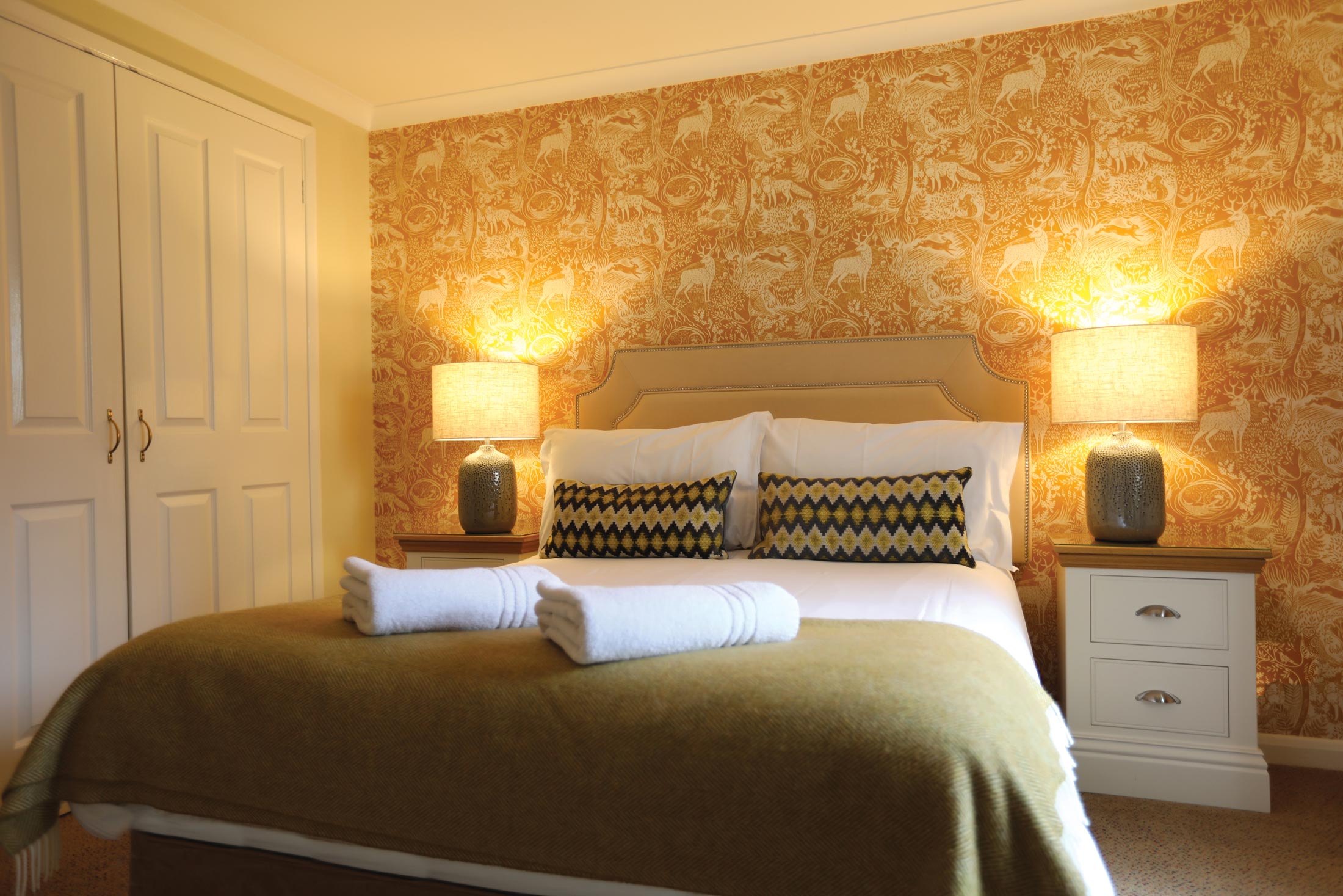
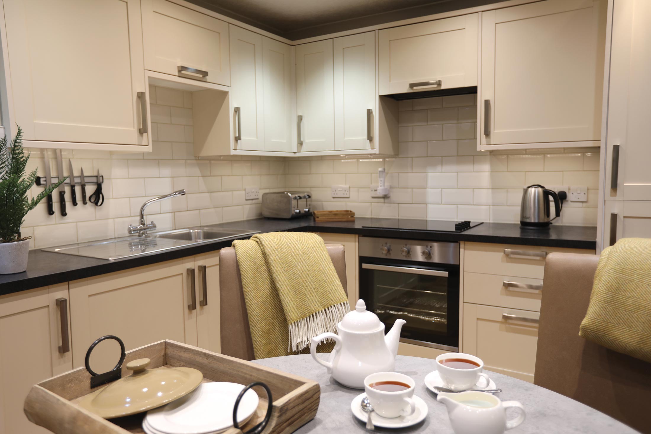
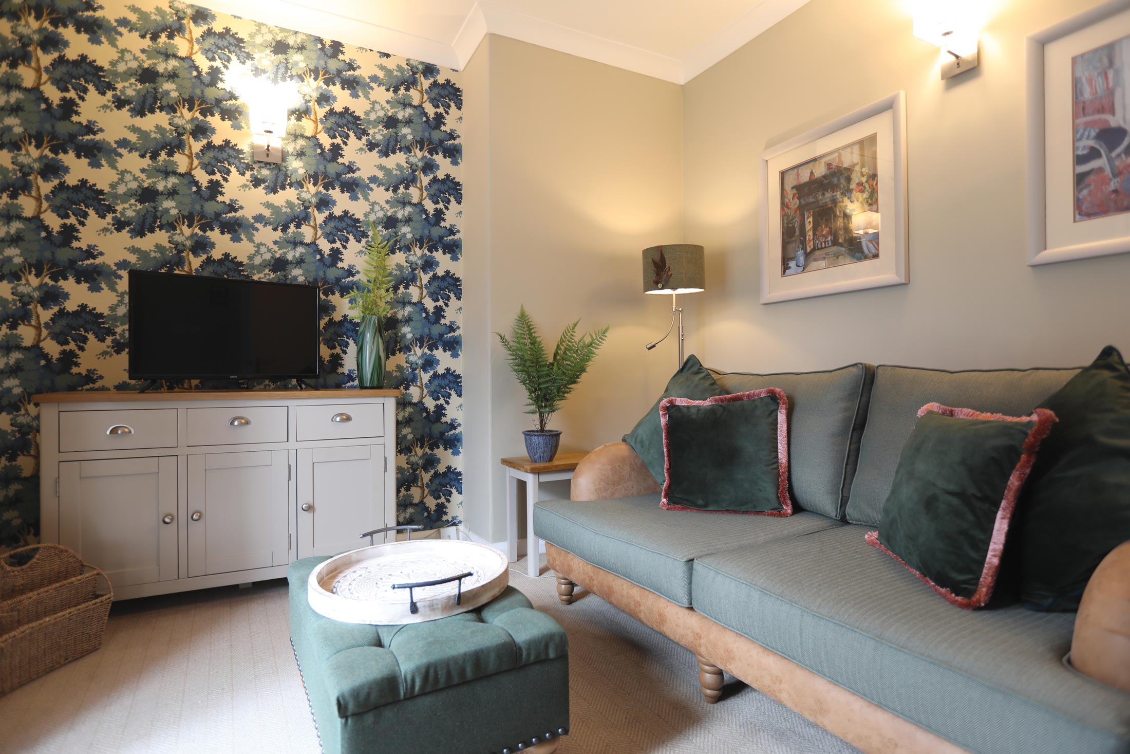
32 holiday cottages and apartments
-
Clubhouse and leisure centre
-
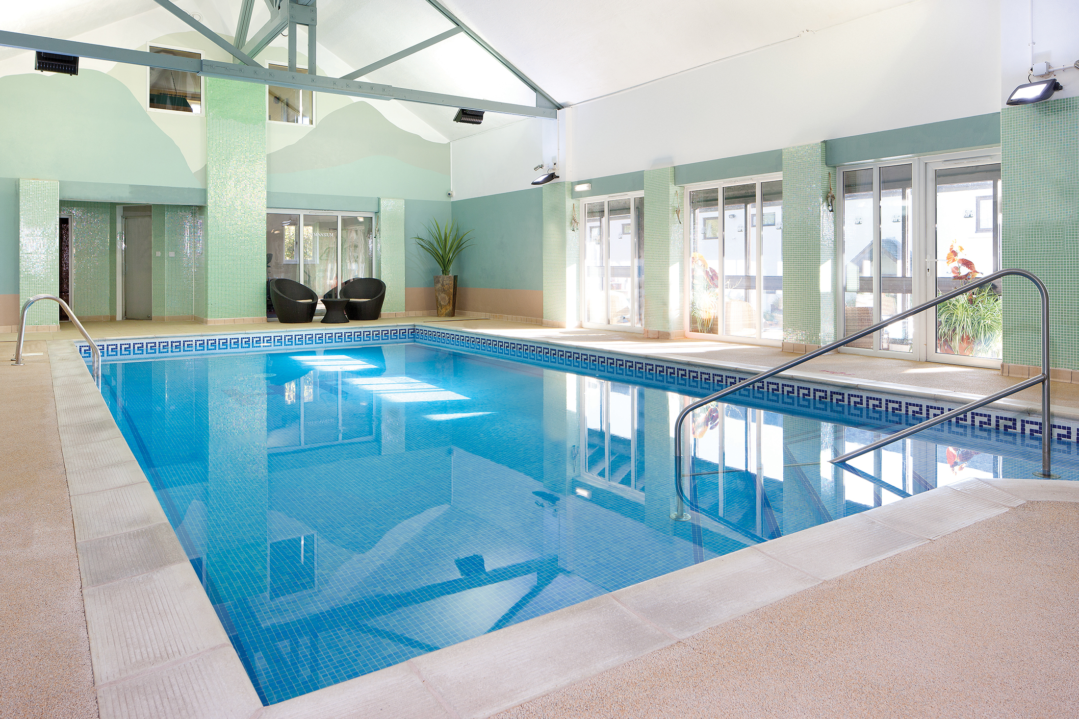
Indoor heated pool and exercise room
-
Ideal location for exploring the Lakes and Fells of the English Lake District
-
Walks for everyone - from gentle rambles to challenging hikes
-
Plenty of opportunities for 'messing about in boats'
-
Historic houses, many with literary connections
-
Unique, 'one-off' shops and fascinating museums
Discover Cumbria
More about Braithwaite Court
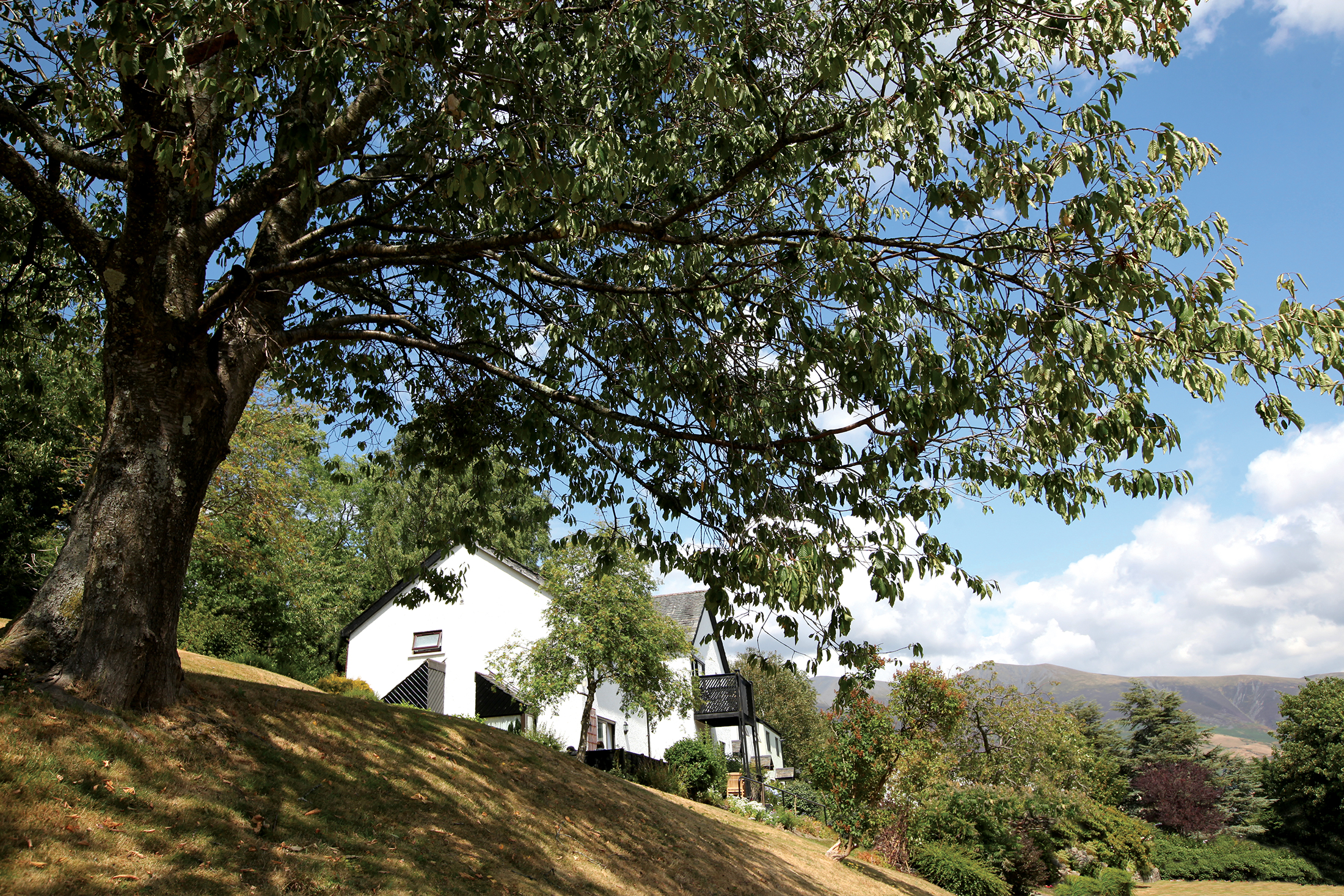
Braithwaite Court, a delightful development of holiday apartments and cottages, is located in the pretty village of Braithwaite in Cumbria. It is a short drive from Derwentwater, roughly two miles west of the market town of Keswick. Therefore, it’s an ideal base from which to explore the delightful surroundings of the northern part of the Lake District National Park.
The English Lake District covers 880 square miles of glorious fells and waters, and attracts more visitors than any other National Park. Over the years, numerous authors and artists have been inspired by the area’s quiet charm and breath-taking landscapes.
Although most of today’s visitors come to this compact corner of England for the fell walking or for more gentle rambles by the water’s edge, there are many other recreational pursuits to enjoy and numerous places of interest to discover, including historic houses and National Trust properties. What better way to access the wonders of Cumbria and the Lake District than with a luxury holiday home in the area?
A boat trip on Derwentwater is highly recommended, as is a visit to Keswick’s Theatre by the Lake.
These Cumbria properties benefit from a heated indoor swimming pool, billiards room, games room and outdoor play area for children making it an absolutely ideal set of holiday properties for the whole family to enjoy all year round.
See how William Wordsworth lived
In the centre of Lake District National Park lies Dove Cottage, which was once home to renowned poet William Wordsworth. Fans of his work can visit the cottage and see what his life was like at the beginning of the 19th Century.
If holidaying in spring, visit Ullswater and Glencoyne Bay to see the daffodils – it was these areas in bloom which inspired Wordsworth’s most famous poem.
Take a cruise on the Steam Yacht Gondola
The whole family will adore cruising across Coniston Water on the Steam Yacht Gondola. Rebuilt from its Victorian original, this yacht can take you all around the lake, or you can go on the walkers’ cruise, which combines a trip with a 7.5km or 12.1km hike on the fells.
Another alternative is the Ruskin Cruise – it’s perfect for a full-day of fun with the family, as your cruise will take you to the beautiful Brantwood house and gardens.
Soak up the Lake District’s stunning scenery
It’s impossible to experience the entire Lake District in one holiday – the area is bursting full of wildlife, lush valleys, mountains, waterfalls and, of course, lakes. However, there are a few places we recommend you do tick off the list.
Windermere is wonderful for a boat trip, or you could take the little ones to The World of Beatrix Potter and Beatrix Potter House. If you’d rather go for a walk, head to Grasmere – the lower ground is ideal for gentle strolls, whereas the rocky peaks of Skiddaw, Langdale and Scarfell Pikes provide a greater challenge.
Experience the oldest and longest railway journey in the Lake District
A firm favourite of the fellwalker and guidebook author, Alfred Wainwright, this steam train journey takes you from Ravenglass, the National Park’s one and only coastal village, to Dalegarth for Boot. During the ride, you’ll cross the estuary, climb steep hills (reaching a gradient of 1:55 at times) and get to see incredible scenery throughout. This seven-mile trip really is worth experiencing.
Enjoy a theatrical show by the lake
Spoilt with a stunning location on the shores of Derwentwater, The Theatre by the Lake should not be missed. It hosts fantastic plays all year round – some original, some well-known classics. The Christmas plays are particular popular with families. Bondholders can pick up exclusive vouchers from Braithwaite Court reception for the Theatre.
Shops and restaurants
Ivy House, a local hotel in the centre of the village of Braithwaite houses a great restaurant. Only a short walk away from the property, guests of Braithwaite Court are able to enjoy all the on-site facilities of the hotel and can, if they wish, also book to have breakfast prepared for them in the restaurant.
Braithwaite has a further 3 pubs to make use of and a village shop. A number of supermarkets are within an easy drive, including one in Keswick – just 10 minuets away.
Bookings can be made for any number of nights on a bed and breakfast basis.
On-site amenities
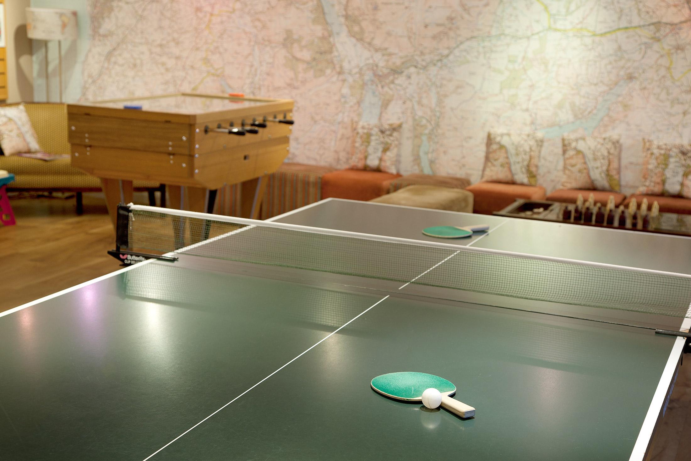
Braithwaite Court has its own clubhouse for use, free-of-charge, by residents and guests. It contains a 10 x 5 metre indoor heated swimming pool, a games room (with table tennis), a billiards room with full-size table and a pool table above the exercise room.
Other facilities include a steam room situated at the end of the swimming pool, a heated drying room (where wet walking gear may be left), and a secure cycle store.
Swings for the children can be found within the sloping grounds.
Properties in Braithwaite Court
Thirty-two apartments and cottages, in the heart of the English Lake District – a walker’s paradise, for sure; but so much more than that.
This attractive development boasts facilities that belie its size: a heated indoor pool, a steam room, an exercise room, a children’s play area, a games room including table tennis, a full-size billiard table and a pool table. Braithwaite Court is easily accessible, minutes walk from the centre of the village and just a short drive from the towns of Keswick and Cockermouth.
You only have to look at the images below to see how perfectly-located Braithwaite Court is. Those rolling green hills are just begging to be explored, and our apartments and cottages provide the perfect start and end points. Who wouldn’t want to fall into that warm and welcoming double bed after a day of hiking?
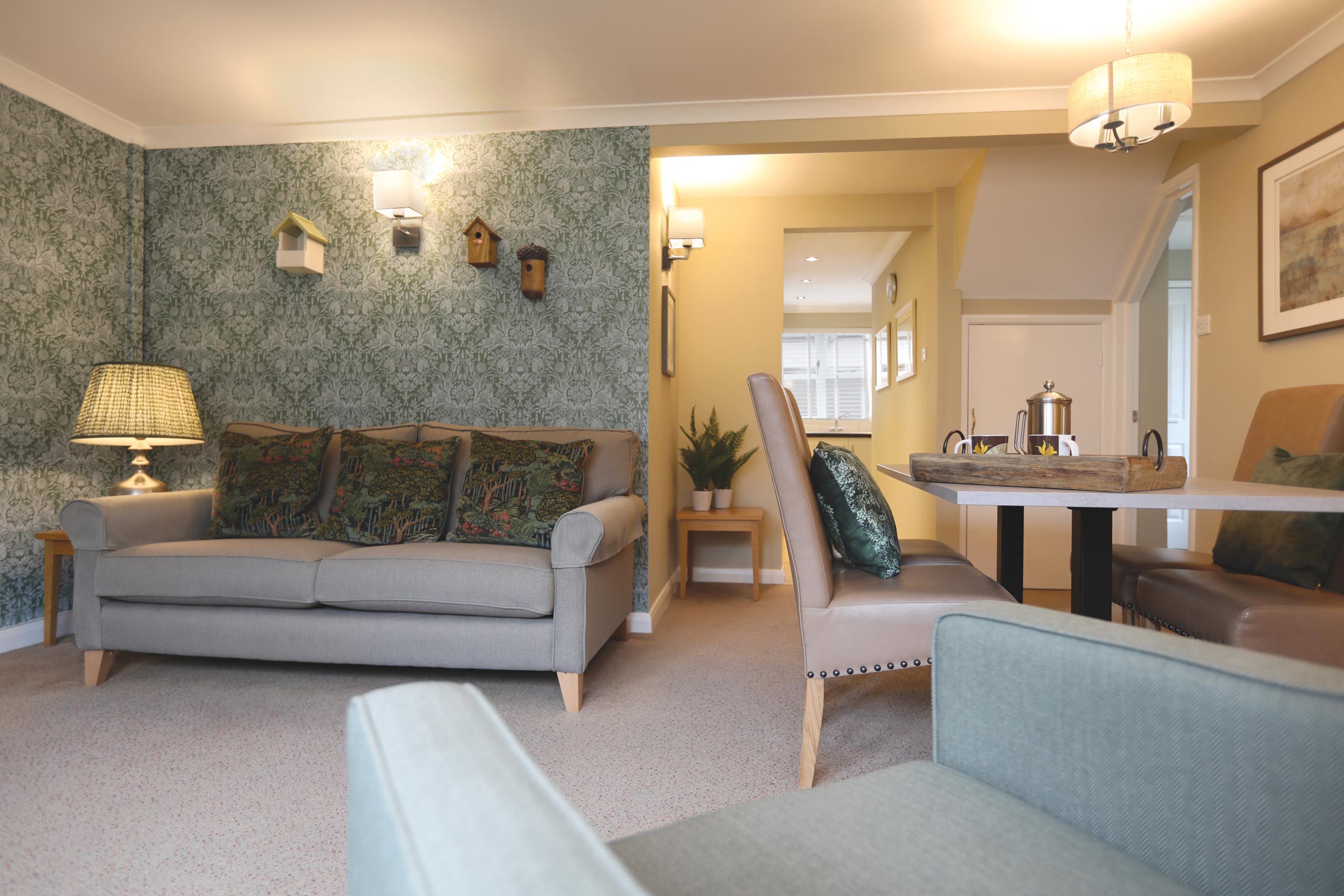
You’re bound to enjoy our on-site amenities too. The clubhouse has an indoor heated swimming pool, a games room, billiards room and much more – meaning there are plenty of places to go and socialise in the evenings.

Location
HPB Braithwaite Court
Braithwaite
Keswick
Cumbria
England
CA12 5TD
Tel: +44 800 230 0391
Email: details@hpb.co.uk
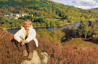
Some of England’s most beautiful scenery is found in the Lake District.
The area provides a backdrop to a varied choice of attractions to suit all tastes, from the natural wonders of England’s tallest mountain, Scafell Pike, to its deepest lake, Wastwater.
The lakes and mountains offer an outstanding collection of activities from walking, climbing and mountain biking to swimming, fishing and sailing. And the region’s many inviting pubs and inns as well as more formal restaurants will ensure you are well fed and watered!
Things to do in Braithwaite
Rowing boats can be hired, as well as motor boats, sailing dinghies, windsurfing boards and Canadian canoes.
It’s possible to hire bikes in Keswick, or enjoy a game of tennis on hard courts. There are also several good golf courses and riding stables close by.
Walks around Braithwaite Court
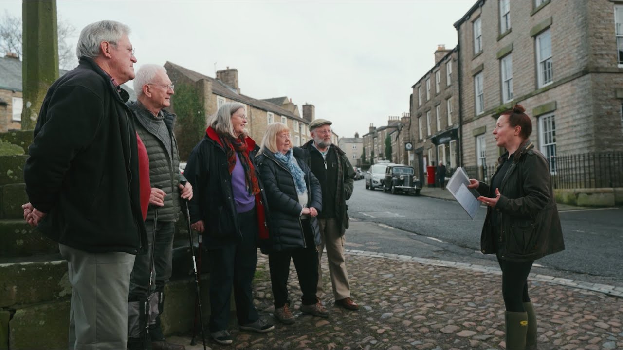
Having a Private Tour at an HPB holiday location is an enjoyable way to see the high standards of furnishings and facilities you could enjoy with HPB.
A local HPB Representative will show you around the site and answer any questions you may have.
Alternatively, you are welcome to book a Personal Presentation at a hotel near you. You can chat to one of our local HPB Representatives, ask your questions and view the complete portfolio of HPB locations.
Read our HPB Feefo Reviews
HPB’s holiday booking service has been rated 4.9 out of 5 based on 14,772 customer reviews on Feefo
![]()
“Buying into the future”
Mike DugdaleI got talking to our next-door neighbour at Barnham Broom, who’s been a Bondholder for a while; the family were full of enthusiasm and, while in no way pushy, was really keen to pass on advice and knowledge about any other sites we’re thinking of visiting. We swapped email addresses and will definitely be in touch – but it shows the strength of feeling about HPB, and the fact that there’s a real ‘family’ aspect to it.
